
Tiburon
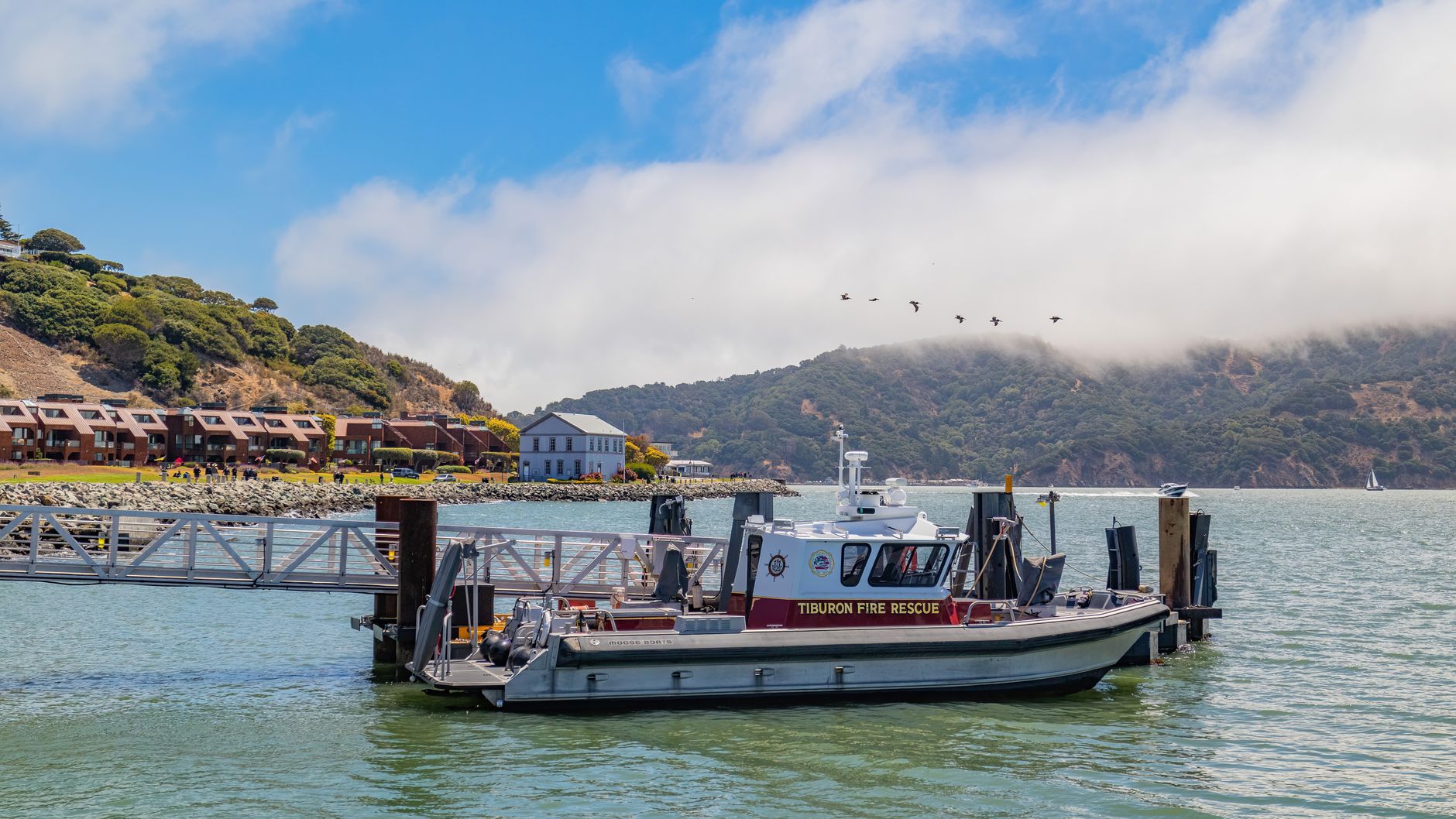
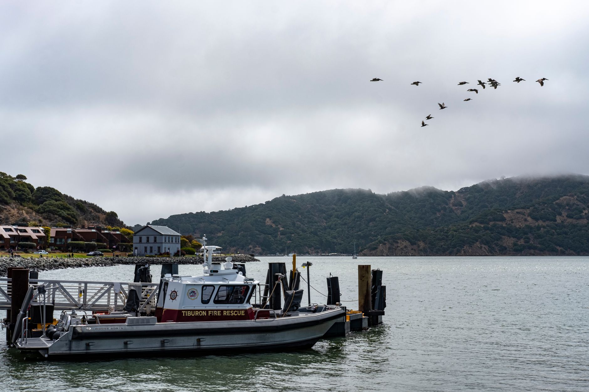
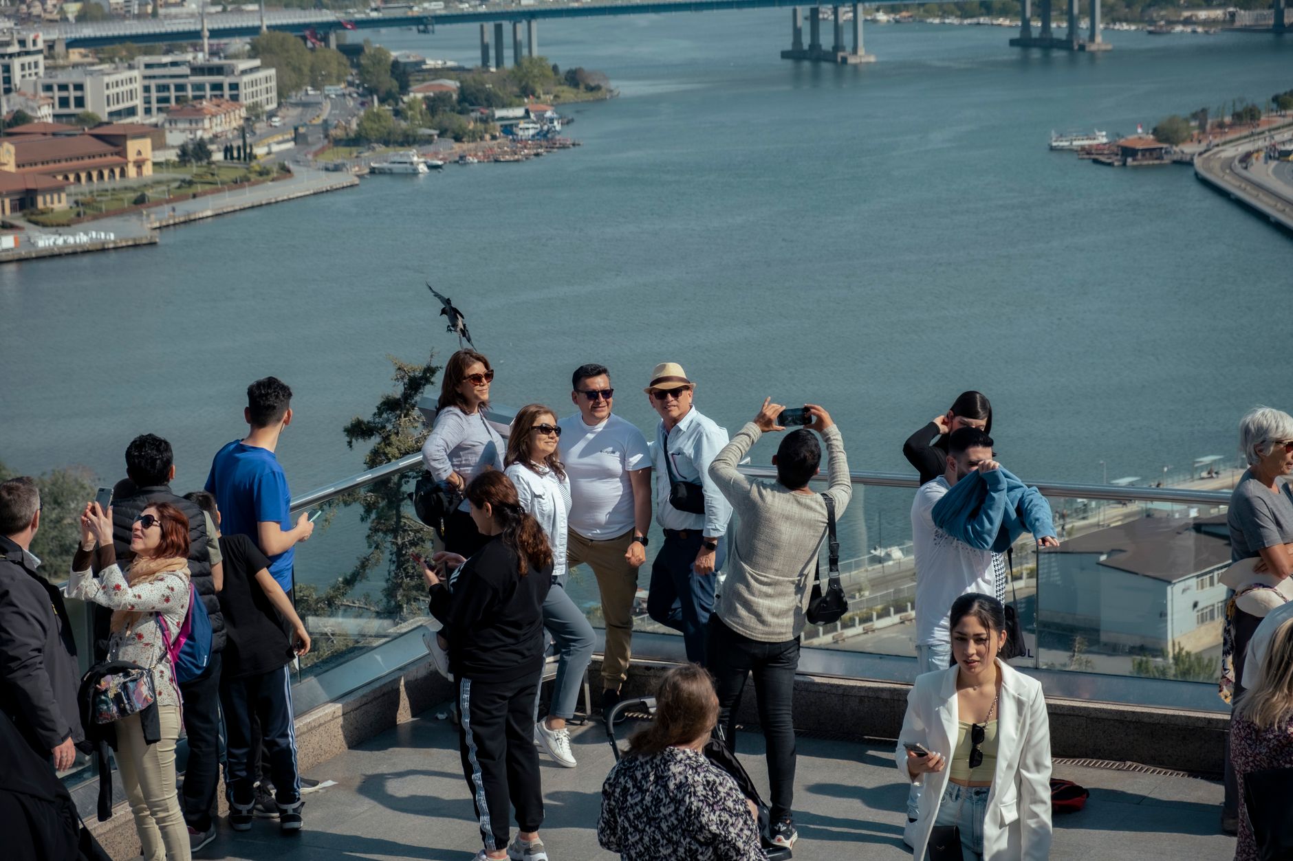
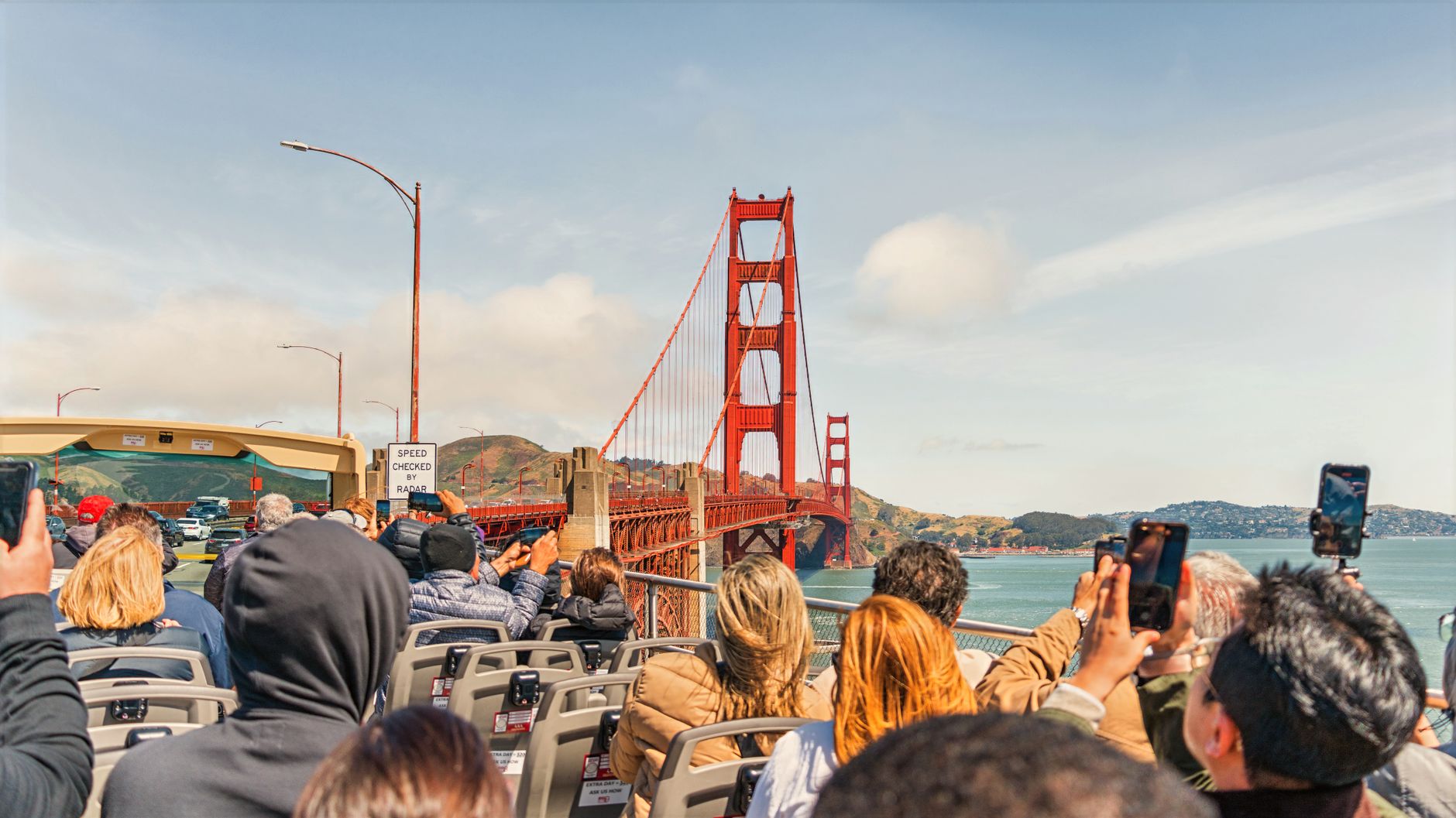
At the tip of the Tiburon Peninsula, the town sits close enough to San Francisco that you can watch the city's skyline sharpen and soften across the water all day long. Main Street runs right along the bay, and the buildings on Ark Row — converted from 1890s houseboats when the lagoon was filled in — still carry that slightly improbable quality of structures that were never quite meant to stay put.
This is a small place with a long shoreline. The waterfront walking path keeps pulling you back outside, and the Angel Island ferry leaves from here, making Tiburon less a destination than a hinge — somewhere you can arrive by boat from San Francisco, breathe different air, and decide what comes next.
💛 What travellers fall for
People who come back tend to time it around the ferry. Grab a table at Sam's on the pier — open since 1920, fish and chips, a direct sightline to the Golden Gate — and let the boats do the work. Blackie's Pasture at the north end of the waterfront path is quieter than it sounds, and worth the extra ten minutes on foot.
Deals in Tiburon
Book directly at the provider
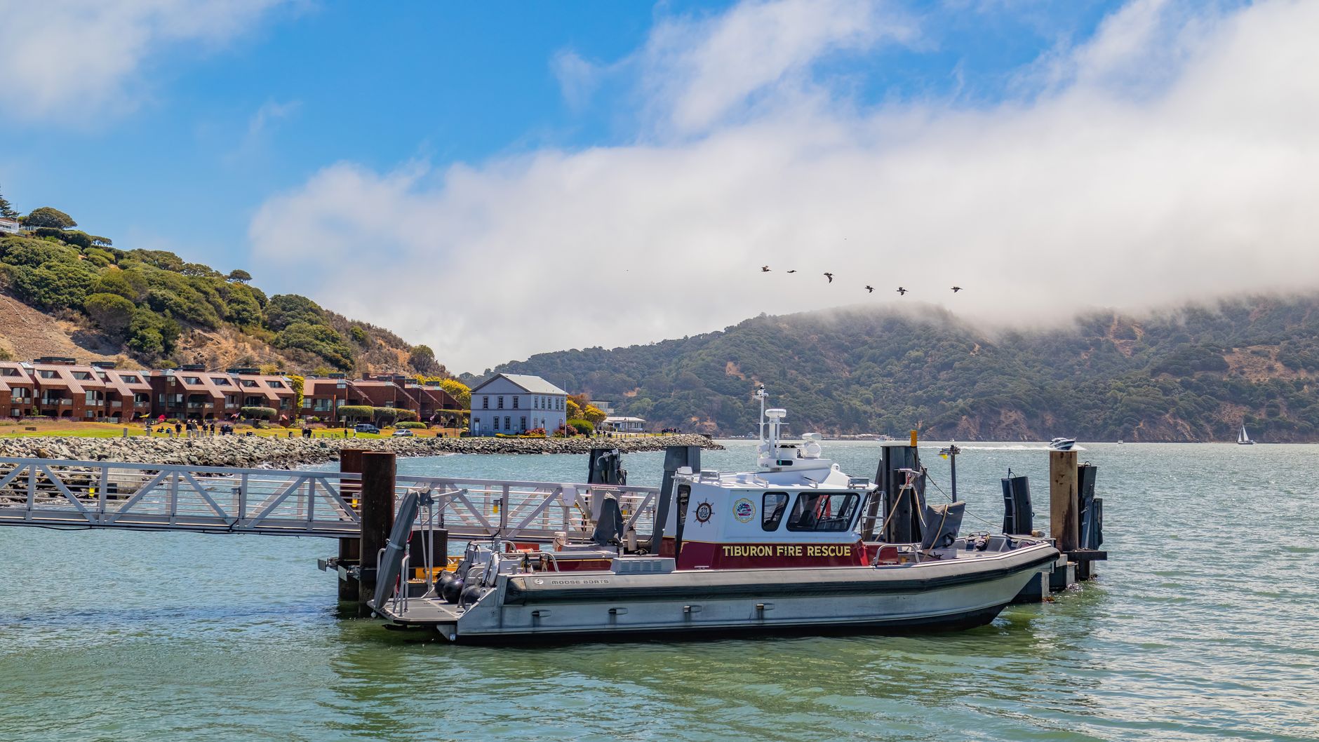
How Tiburon came to be
Coast Miwok people lived on this peninsula for thousands of years before John Reed, an Irishman from Dublin, received a Mexican land grant — Rancho Corte Madera del Presidio — formalized in 1834. The town's industrial chapter began in 1884, when Peter Donahue extended the San Francisco and North Pacific Railroad to Point Tiburon, pairing it with a ferry connection to the city. Coaling operations ran for decades before ending in 1931.
As World War II approached, the old coaling station became the U.S. Navy Net Depot Tiburon, manufacturing and maintaining the submarine nets that blocked enemy vessels from entering San Francisco Bay. The railroad ran its last train in 1967; the depot building was deeded to the town and now holds a museum. Tiburon incorporated in 1964, by which point its working waterfront had already begun its long, quiet turn toward the residential.
Who and what shaped it
People who shaped it
Landmark buildings
See Tiburon in motion
Plan your visit
On the map
When to go
Tiburon runs mild year-round — temperatures rarely dip below 37°F or climb above 84°F, with September the warmest month and winter bringing the bulk of the rain. A layer is worth keeping close in summer, when afternoon bay breezes can arrive without much warning.
Right now
Background & history adapted from Wikipedia (CC BY-SA) · specs from Wikidata (CC0) · weather from Open-Meteo · map data © OpenStreetMap contributors · photos from Wikimedia Commons / Unsplash with per-image credit. No third-party reviews or social posts reproduced.