
Tiarei

The road east from Papeete narrows and the forest closes in before Tiarei announces itself with the sound of the Arahoho Blowhole — a low, pressurised roar as the sea forces itself through a coastal cave and throws spray thirty feet into the air. The village sits on Tahiti's windward coast, where the trade winds come off the water and the beaches run black from volcanic sand.
Tiarei is the administrative centre of Hitiaa o te Ra, though it wears that distinction lightly. What draws people here are the three waterfalls of the Faarumai Valley — Vaimahuta, Haamaremare Rahi, Haamaremare Iti — each fed by a separate watershed, each reached on foot through forest paths and wooden bridges.
💛 What travellers fall for
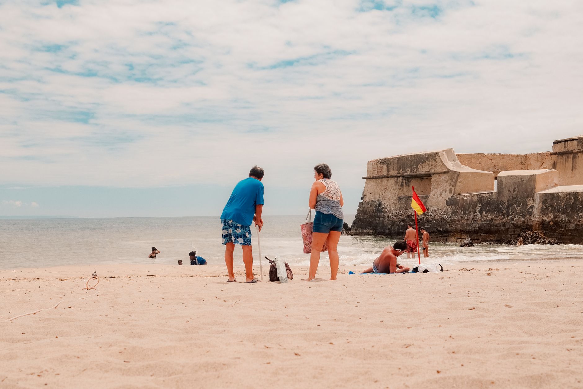
People who come back tend to time the blowhole for when the swell is running — the roar carries across the road. The Vaimahuta waterfall is a short walk and worth arriving early before any tour groups. Plage de Tiarei stays quiet most days; the black sand holds heat, so mornings are better.
Deals in Tiarei
Book directly at the provider

How Tiarei came to be
French Polynesia became an overseas territory of France in 1946, and Tiarei — like other communities on Tahiti's windward coast — saw its first formal infrastructure investment in that period: roads, utilities, the basic connective tissue of a modern commune. The decree formally establishing communes in French Polynesia came later, dated 17 May 1972.
In 2004, French Polynesia's shift to overseas collectivity status brought greater administrative autonomy to the territory, and Tiarei's role as the centre of Hitiaa o te Ra became more defined. Older than any of these administrative layers, though, is the place's reputation in oral tradition: the Arahoho Blowhole, locals say, was once used to dispose of defeated enemies — a detail that sits quietly behind the tourist signage.
Who and what shaped it
Landmark buildings
See Tiarei in motion
Plan your visit
On the map
When to go
May through October brings the driest, least humid conditions, with southeast trade winds averaging 16–20 km/h keeping the coast from feeling oppressive. The wet season, November through April, delivers 12 to 17 rainy days a month and temperatures that push toward 32°C — the waterfalls run fuller, but the trails get slippery.
Right now
Background & history adapted from Wikipedia (CC BY-SA) · specs from Wikidata (CC0) · weather from Open-Meteo · map data © OpenStreetMap contributors · photos from Wikimedia Commons / Unsplash with per-image credit. No third-party reviews or social posts reproduced.