
Thalang
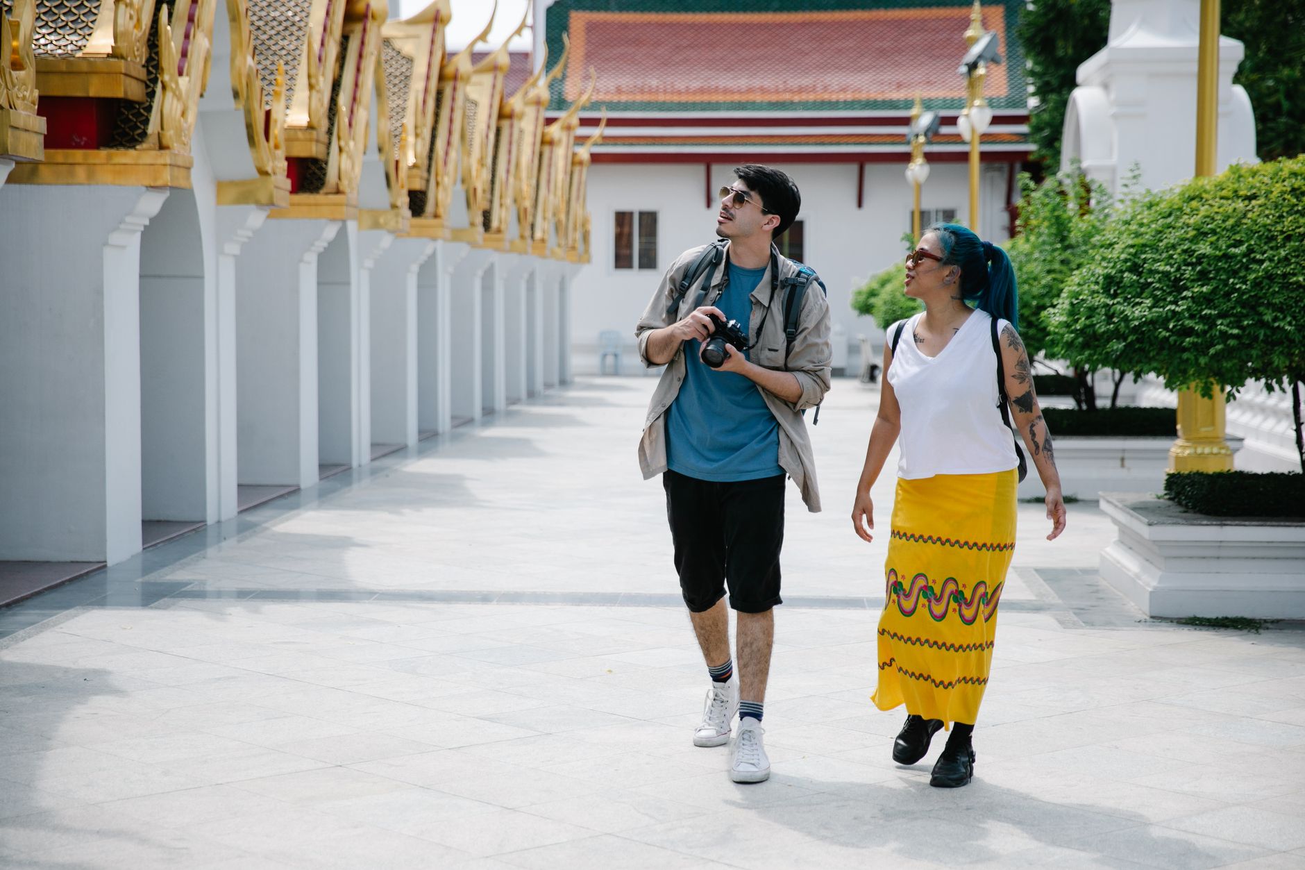
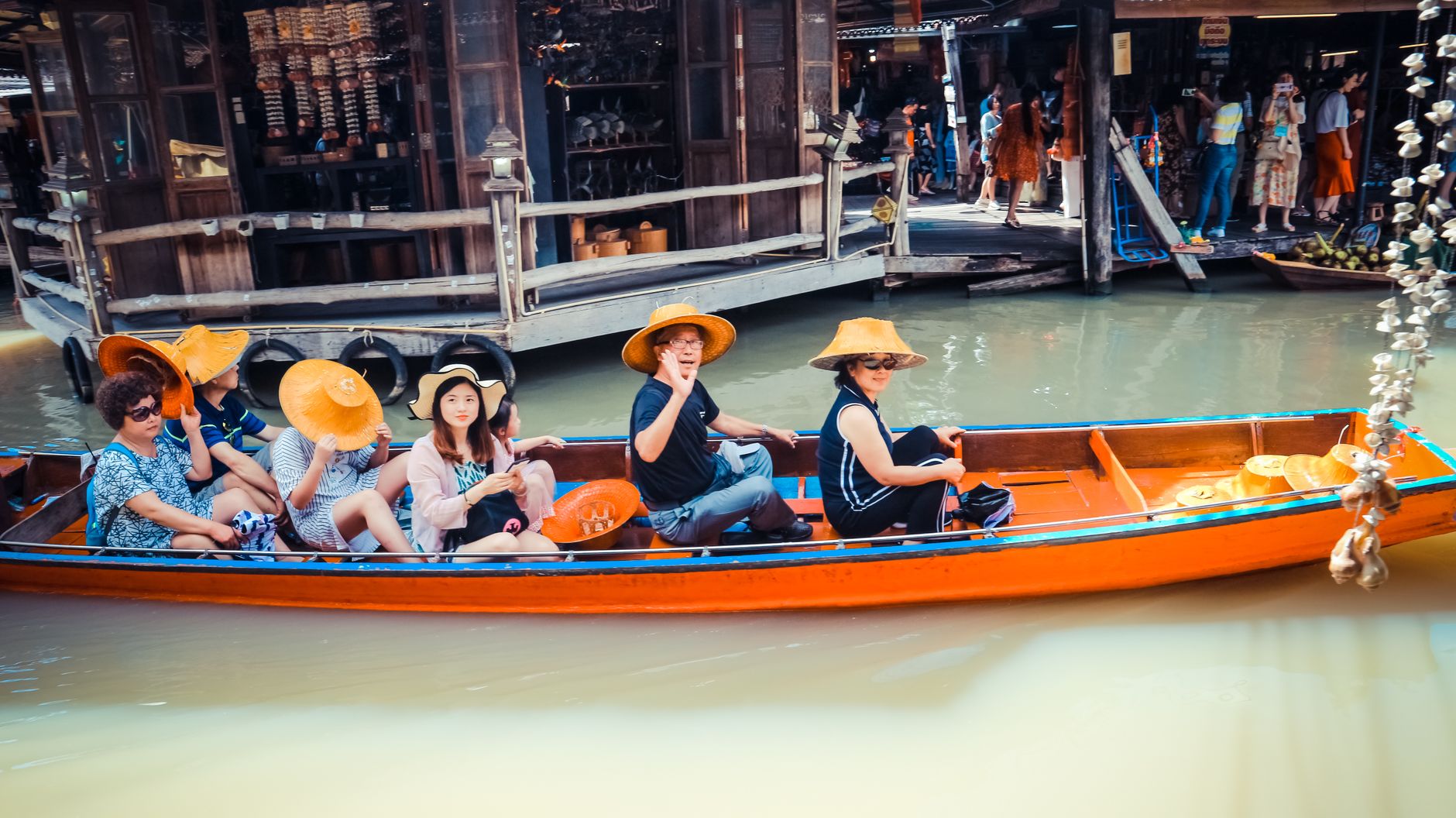
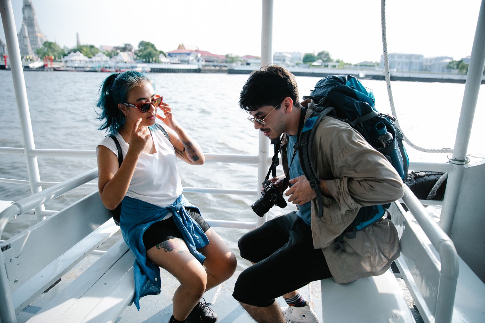
Before Phuket was Phuket, it was Thalang. The name comes from the old Malay word telong, meaning cape, and the northern district still carries it — along with the island's oldest civic memory. Phuket International Airport sits here, so most visitors pass through without stopping. That's their loss.
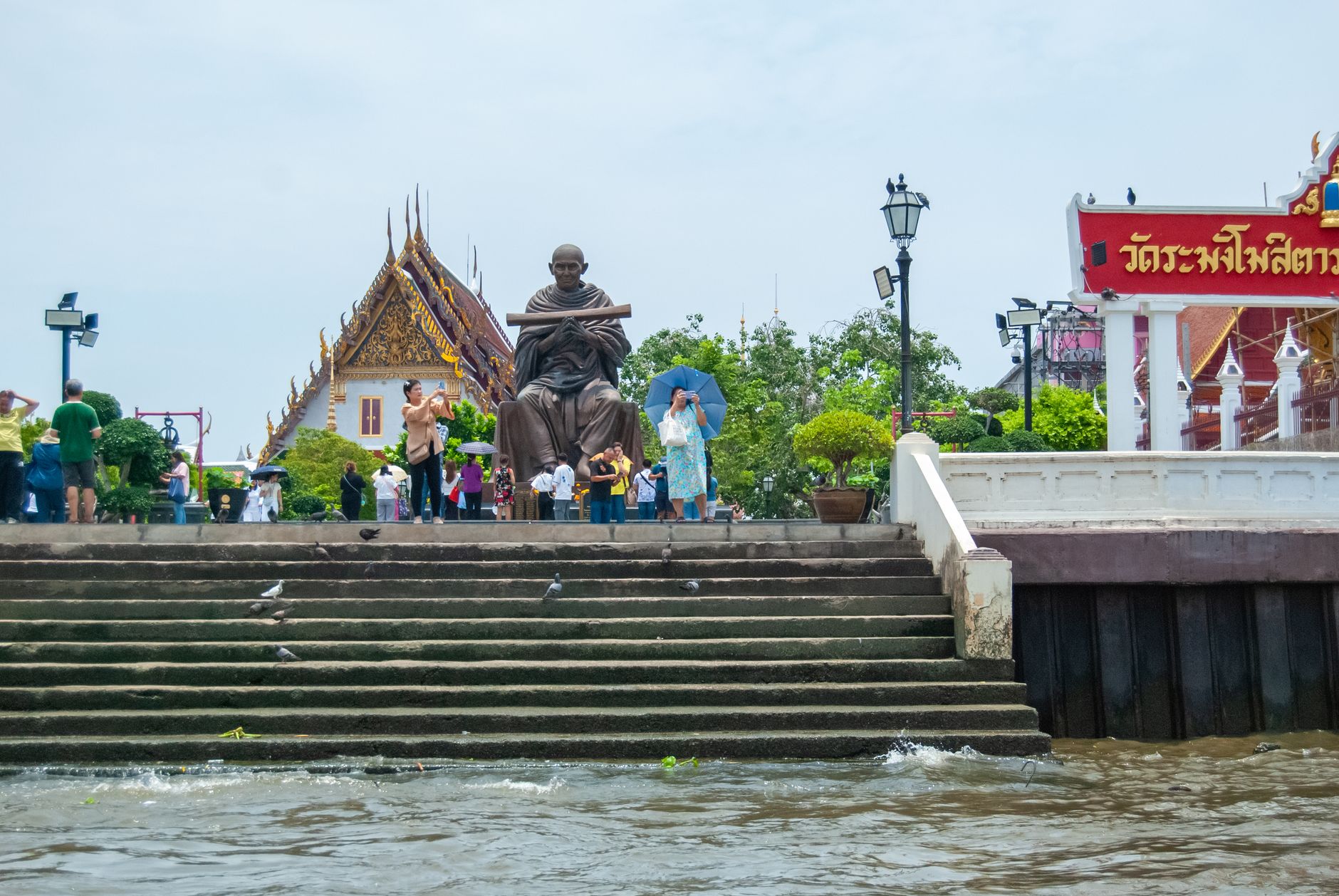
Thalang is where the island's actual story lives: in a monument at a roundabout, in a national museum built to mark a 200-year-old siege, in a temple that dates to the Ayutthaya era, and in a stretch of rainforest and coastline that the rest of Phuket long ago traded for sunbeds.
💛 What travellers fall for
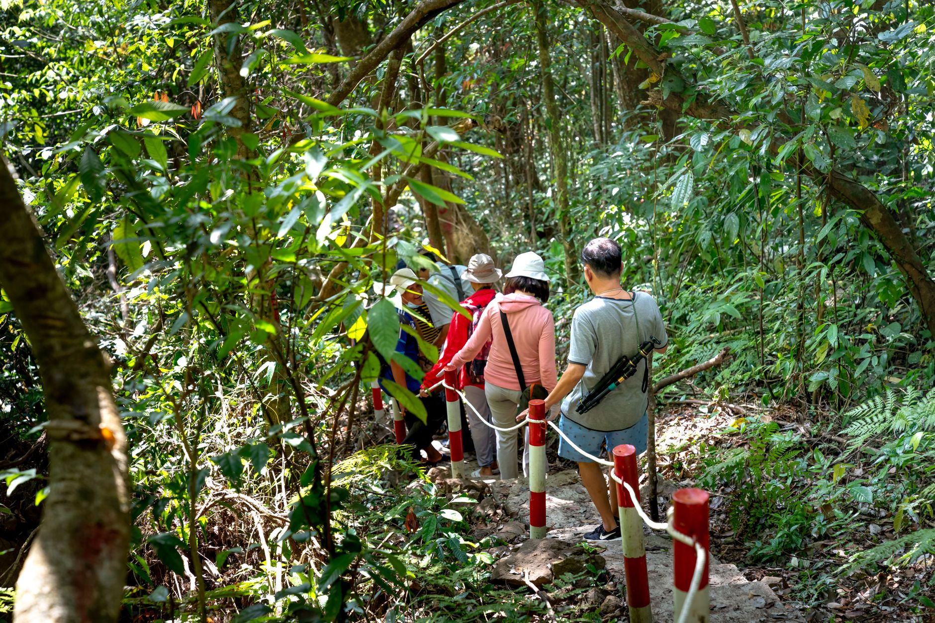
People who come back to Thalang tend to mention the same quiet rhythm: mornings at Pra Thong Temple before the heat settles, an hour in the National Museum that turns into two, and a late afternoon drive into Khao Phra Thaeo where the canopy closes overhead and the island's resort noise disappears completely.
Deals in Thalang
Book directly at the provider

How Thalang came to be
The name Thalang predates the province itself. Under the old Siamese administration, it served as the island's main seat of government, its center shifting across the northern interior over centuries. In 1785, Burmese forces besieged the town as part of a broader campaign against Siam. The governor had just died. His widow, Lady Chan, and her sister Lady Muk took command — instructing the island's women to dress as soldiers and line the city walls. The Burmese, unable to gauge the true size of the garrison, withdrew after a month. The siege ended on 13 March 1785.
King Rama I later honored the sisters with the royal titles Thao Thep Kasattri and Thao Sri Sunthon. Their statues stand today at a roundabout in the district, cast in bronze at the scale the story deserves. The Thalang National Museum, opened in 1985 on the siege's 200th anniversary, holds the broader context — Phuket's pre-modern trade history, its ethnic communities, and the archaeology of a place that was once far more than a beach.
Who and what shaped it
People who shaped it
Landmark buildings
See Thalang in motion
Plan your visit
On the map
When to go
December through March brings dry heat around 29–31°C with cooling sea breezes in the evenings — the most comfortable stretch for exploring outdoor sites. From May onward the monsoon builds steadily; by August and September, heavy rain and strong winds make travel in the district genuinely difficult.
Right now
Background & history adapted from Wikipedia (CC BY-SA) · specs from Wikidata (CC0) · weather from Open-Meteo · map data © OpenStreetMap contributors · photos from Wikimedia Commons / Unsplash with per-image credit. No third-party reviews or social posts reproduced.