
Teresópolis
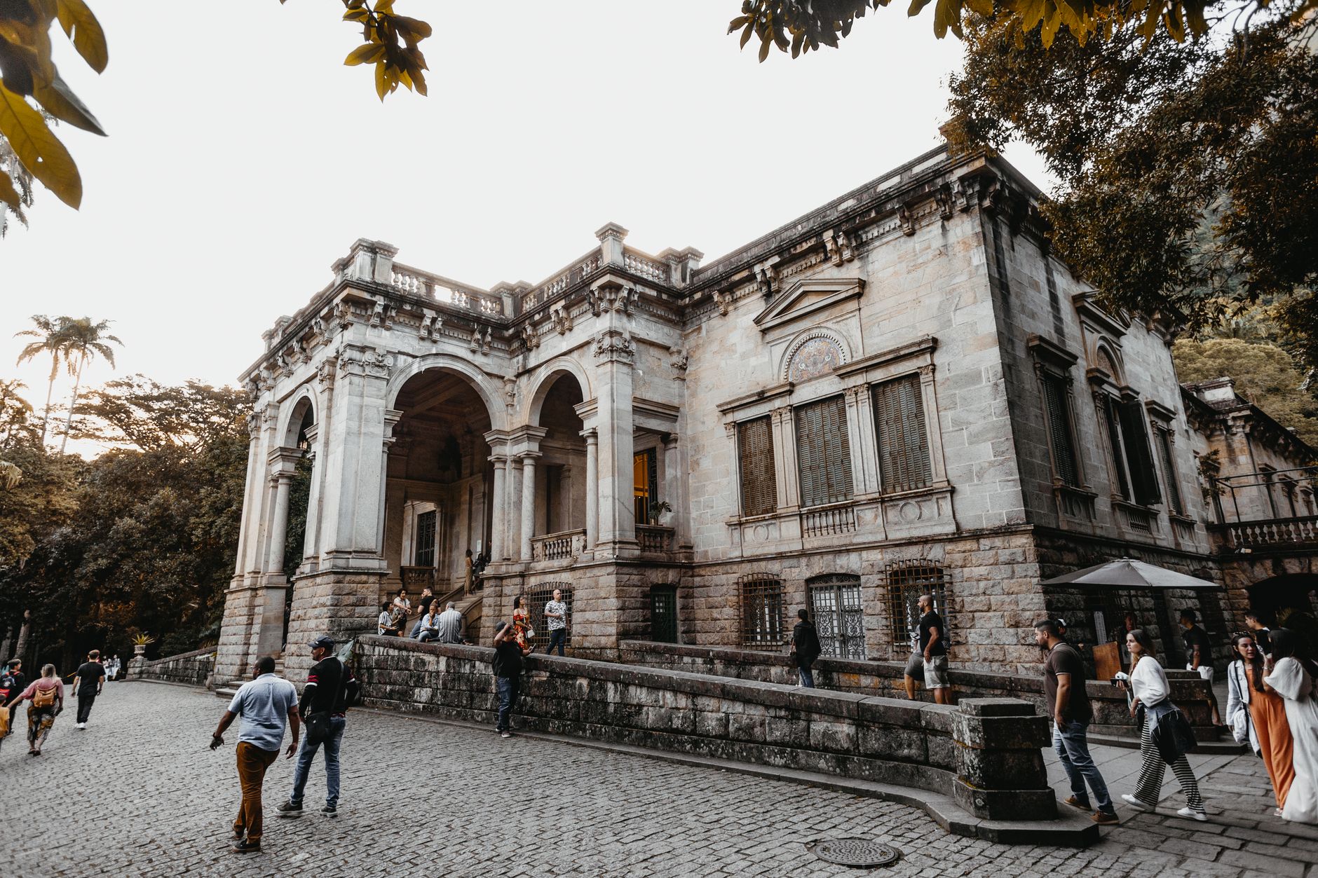
At 900 metres above sea level, Teresópolis runs cooler than the coast by a good ten degrees — and that gap explains almost everything about why people come. The Serra dos Órgãos range rises sharply behind the city, its basalt spires cutting a skyline so distinctive that Brazil's greatest composer, Heitor Villa-Lobos, is said to have heard symphonies in it. The peak locals call Dedo de Deus — Finger of God — points straight up from the ridge like punctuation.
The city takes its name from Empress Teresa Cristina, who used to retreat here from Rio de Janeiro when the imperial court needed a cooler breath. That aristocratic instinct for altitude hasn't entirely faded: the national football squad trains at Granja Comary, and the mountain trails draw serious hikers from across the country.
💛 What travellers fall for
People who come back tend to say the same thing about Mirante do Soberbo — go early, before cloud rolls in off the Atlantic and softens the whole panorama. They also mention that the park entrance at Soberbo is quieter than the main Teresópolis gate, and that the Cascata dos Amores trail is short enough to do before lunch without feeling rushed.
Deals in Teresópolis
Book directly at the provider
How Teresópolis came to be
An English merchant named George March, born and raised in Portugal, bought a large tract of mountain land in 1821 and built the Santo Antônio farm — the first real waystation on the route between Rio de Janeiro and Minas Gerais. Before him, the region had been home to indigenous Brazilians and, later, quilombo communities formed by people who had escaped the sugar plantations near the coast. March's farm became the nucleus around which a settlement slowly grew.
The parish of Santo Antônio do Paquequer was formalised in 1855, and the municipality split from Magé in 1890. On 6 July 1891 it was officially named Teresópolis — city of Teresa — in honour of Empress Teresa Cristina, whose visits had drawn the 19th-century aristocracy up into the mountains. The writer Euclides da Cunha spent his final years here. The Matriz de Santa Teresa church, completed in 1929 in Neo-Gothic style, still anchors the main square. Serra dos Órgãos National Park was established in 1939. In January 2011, floods and mudslides following extreme rainfall killed more than 400 people — the deadliest weather event in Brazilian history.
Who and what shaped it
People who shaped it
Landmark buildings
See Teresópolis in motion
Plan your visit
On the map
When to go
Teresópolis sits in a subtropical highland zone, averaging around 16°C across the year — cool enough that a light jacket is useful most evenings. Winters (June–August) are dry and mild, ideal for hiking; summers (December–February) are warm but bring heavy, sustained rain, with December regularly recording over 300mm.
Right now
Background & history adapted from Wikipedia (CC BY-SA) · specs from Wikidata (CC0) · weather from Open-Meteo · map data © OpenStreetMap contributors · photos from Wikimedia Commons / Unsplash with per-image credit. No third-party reviews or social posts reproduced.