
Taveuni
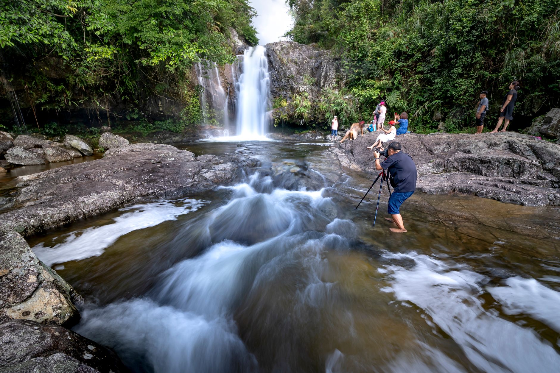
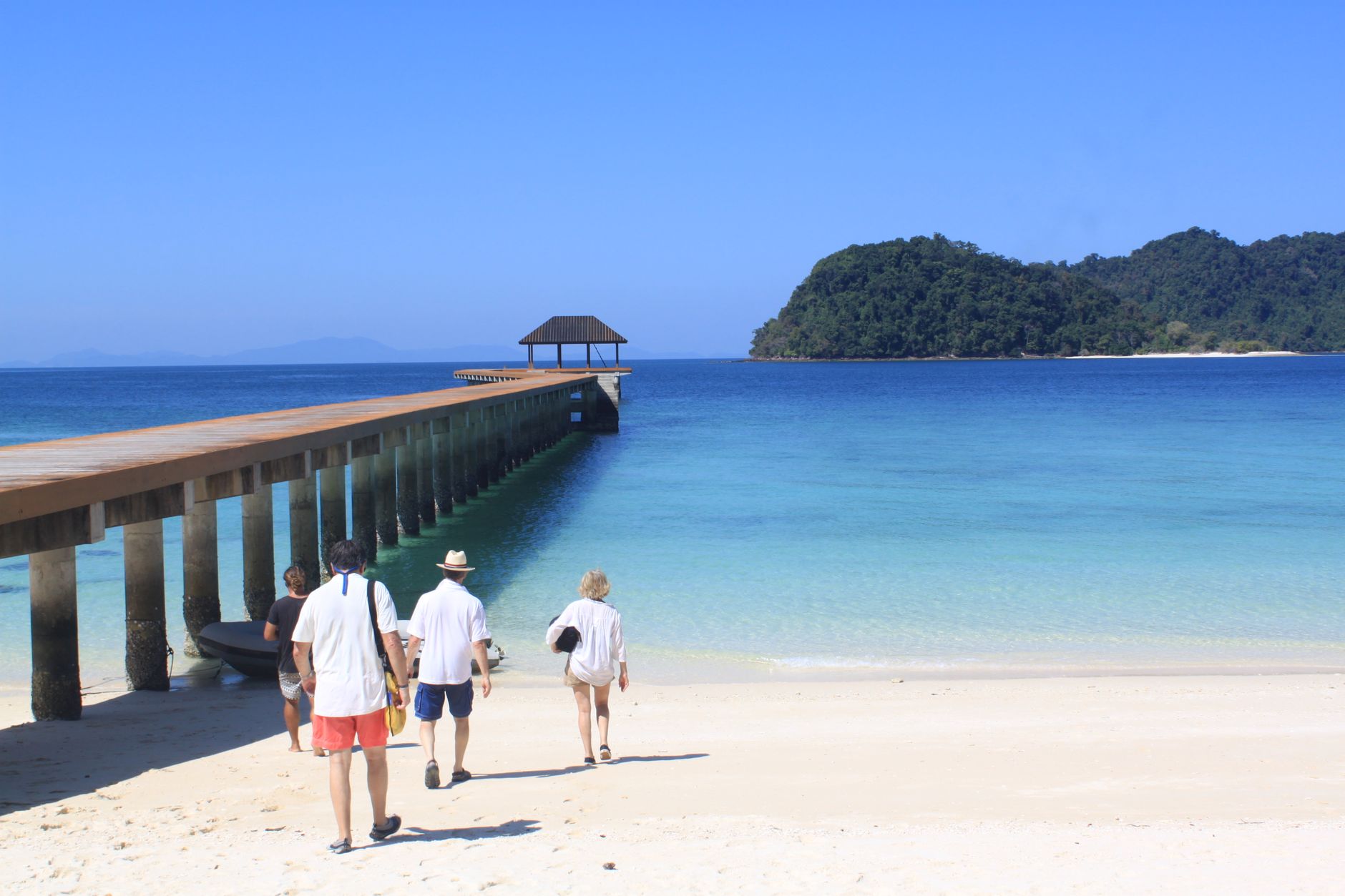
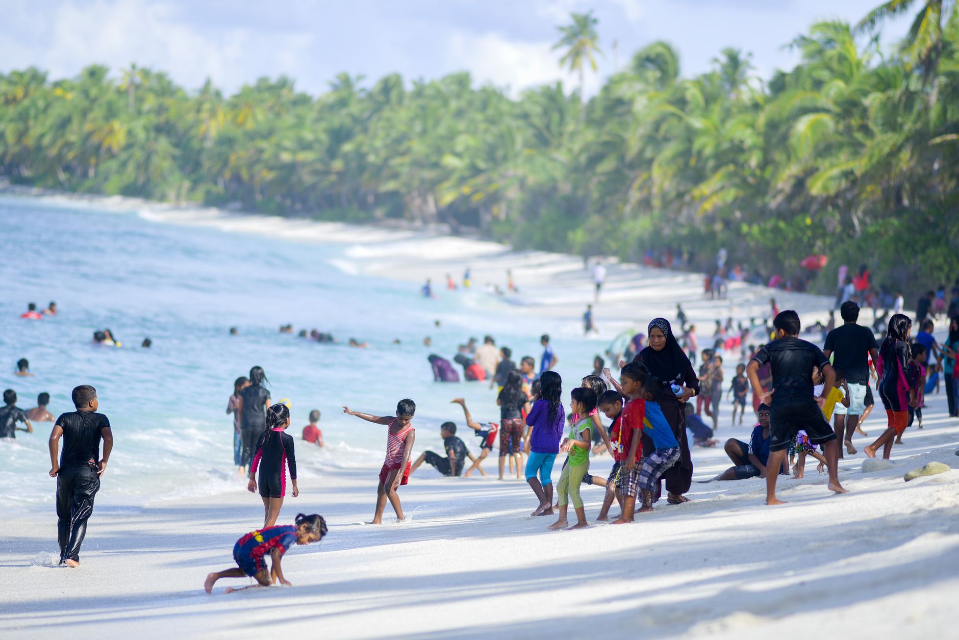
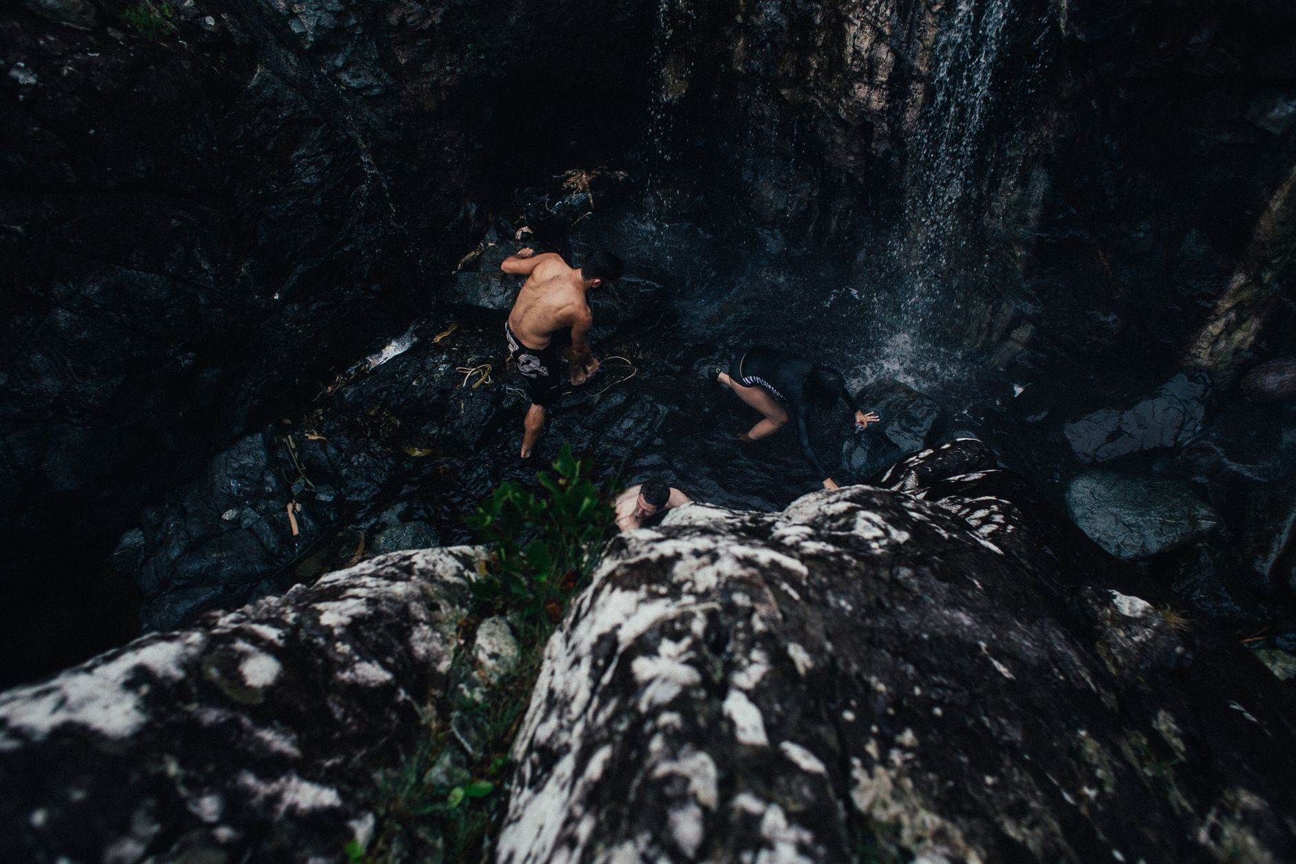
Taveuni sits in the northern Fijian archipelago as a long, narrow island built almost entirely on volcanic geology — and the land shows it. A crater lake at 800 metres holds one of the rarest flowers in the Pacific. Three waterfalls drop into natural rock pools inside a rainforest park that covers a third of the island. Near the village of Waiyevo, a sign marks the 180th meridian, the point where, in the 19th century, someone drew a line and called it the edge of one day and the beginning of another.
This is an island where the logistics stay simple — small planes, twice-daily ferries, taxis you negotiate with before you get in — and the landscape does most of the talking.
💛 What travellers fall for
People who come back tend to mention the Waitavala rock slide before anything else — a natural streambed that drops fifty metres down a hillside, about twenty minutes' walk from Waiyevo. They also say to budget an extra half-day for Lake Tagimaucia: the track condition varies, and the hike earns the view.
Deals in Taveuni
Book directly at the provider

How Taveuni came to be
People have lived on Taveuni since roughly 950–750 BC, but the island's volcanic history shaped settlement patterns for centuries. At least 58 eruptions have been recorded, and a series between 300 and 500 AD was severe enough to empty the southern two-thirds of the island entirely — those areas weren't resettled until around 1100 AD. The last eruption left a lava flow at the southern tip around 1550.
In the late 18th century, the i-Sokula people crossed from Vanua Levu and established themselves at Somosomo, building the chiefdom of Cakaudrove under the paramount chief Tui Cakau. The Wairiki Catholic Mission, completed in 1895 on a small hill above the coast, remains the most substantial architectural remnant of the colonial period. In 1990, landowning clans — alarmed by the threat of logging — moved to protect the island's rainforest, establishing what became Bouma National Heritage Park, now covering more than 16,000 hectares.
Who and what shaped it
People who shaped it
Landmark buildings
See Taveuni in motion
Plan your visit
On the map
When to go
July and August are the driest, clearest months — hot days, cooler evenings, and the best conditions for hiking. The wet season runs December to April, bringing heavy rainfall (the eastern side of the island can receive up to ten metres annually) and the possibility of tropical cyclones.
Right now
Background & history adapted from Wikipedia (CC BY-SA) · specs from Wikidata (CC0) · weather from Open-Meteo · map data © OpenStreetMap contributors · photos from Wikimedia Commons / Unsplash with per-image credit. No third-party reviews or social posts reproduced.