
Tamanrasset
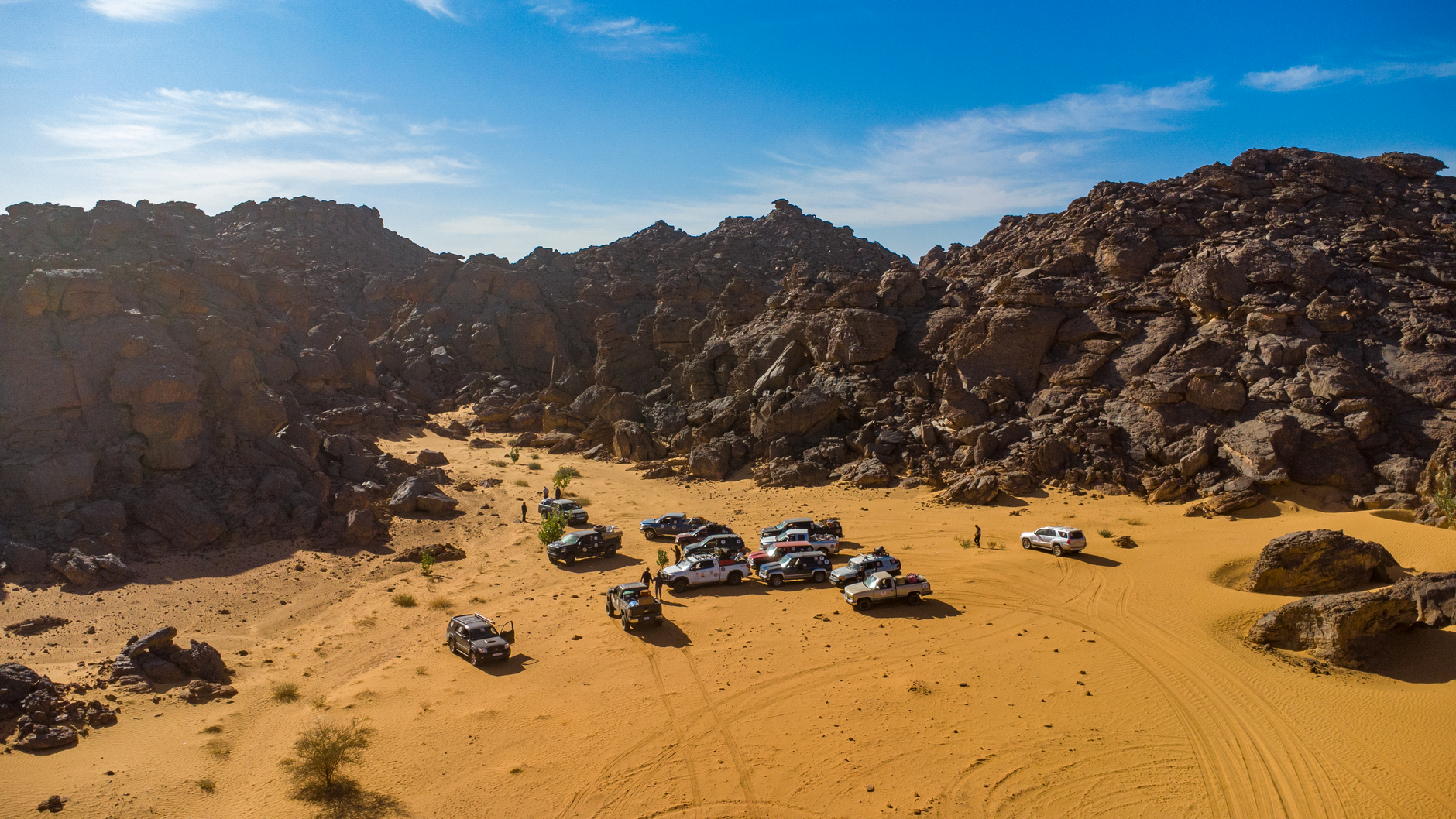
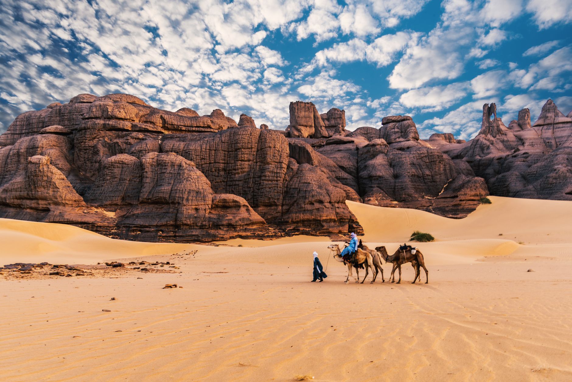
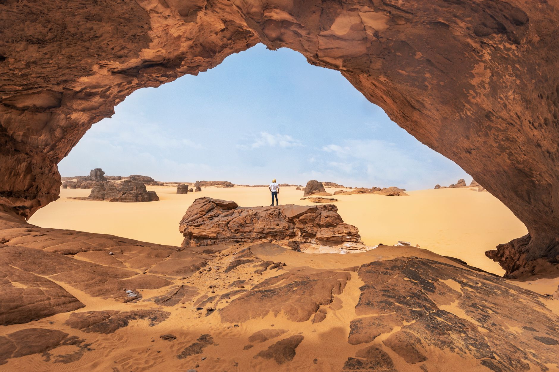

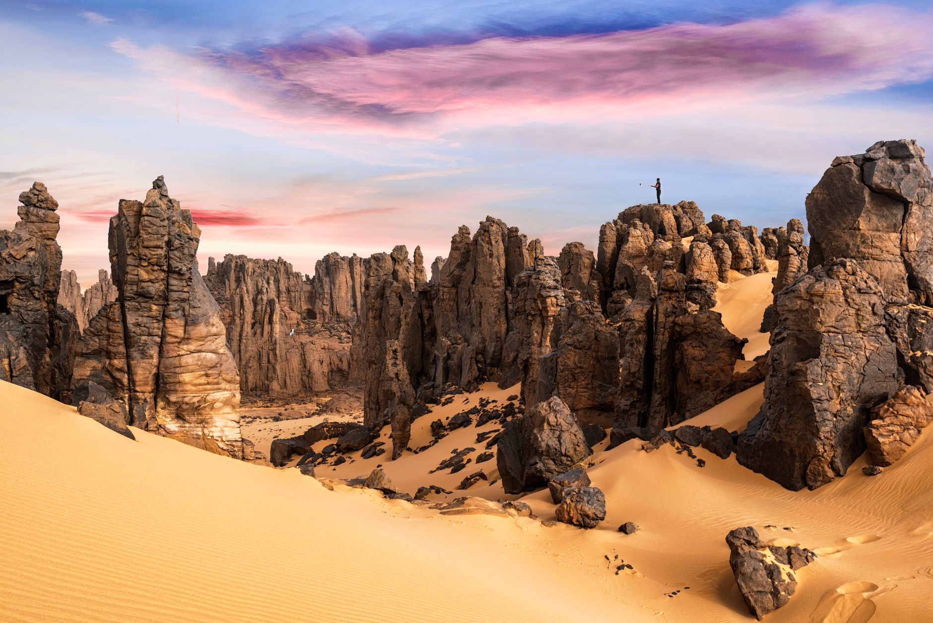
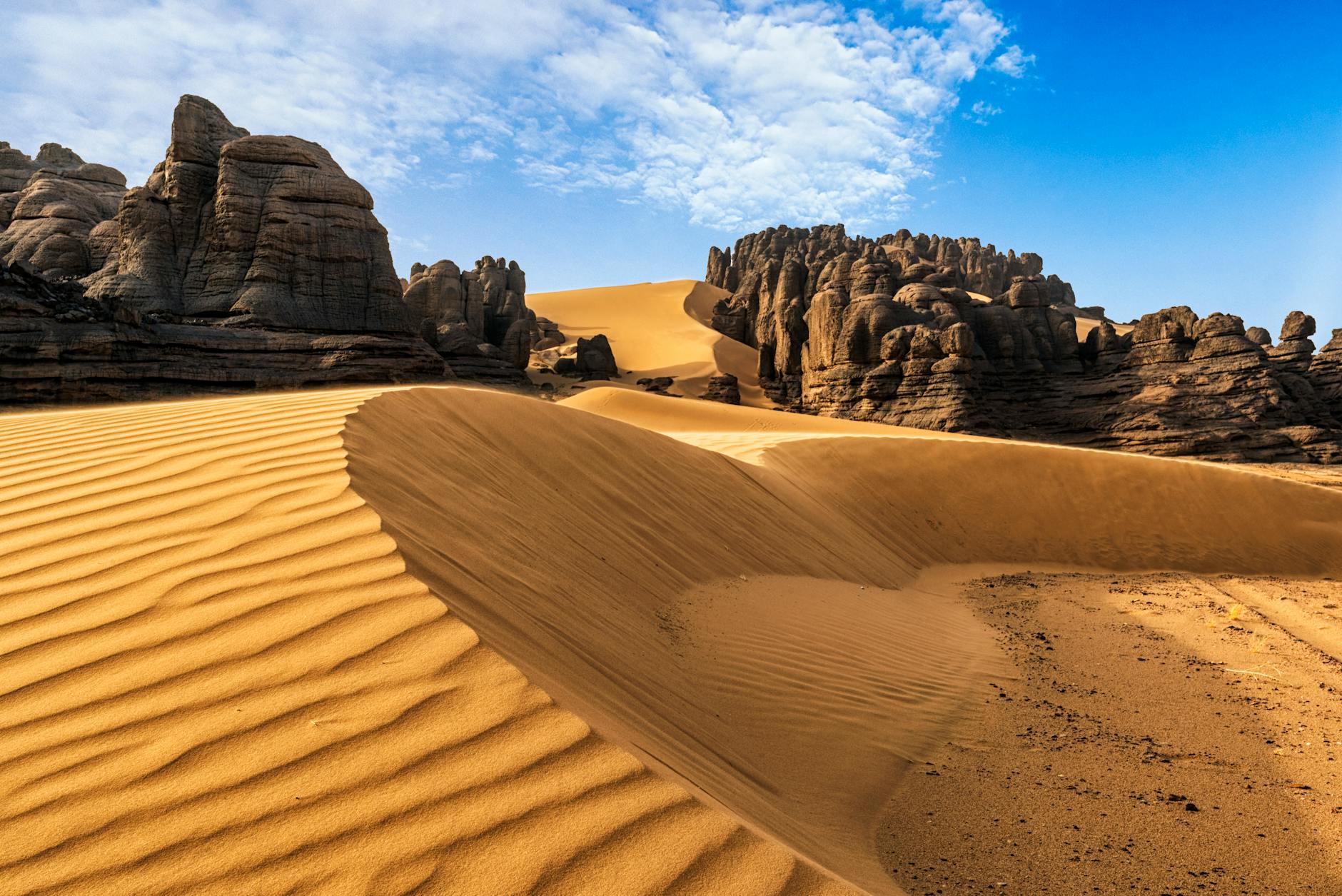
Tamanrasset sits at around 1,400 metres above sea level in the Ahaggar massif, which means the Sahara here is not the flat, featureless erg most people picture. The air is thinner and cooler, the horizon interrupted by volcanic rock formations, and the light in the late afternoon turns the stone a colour somewhere between rust and plum.
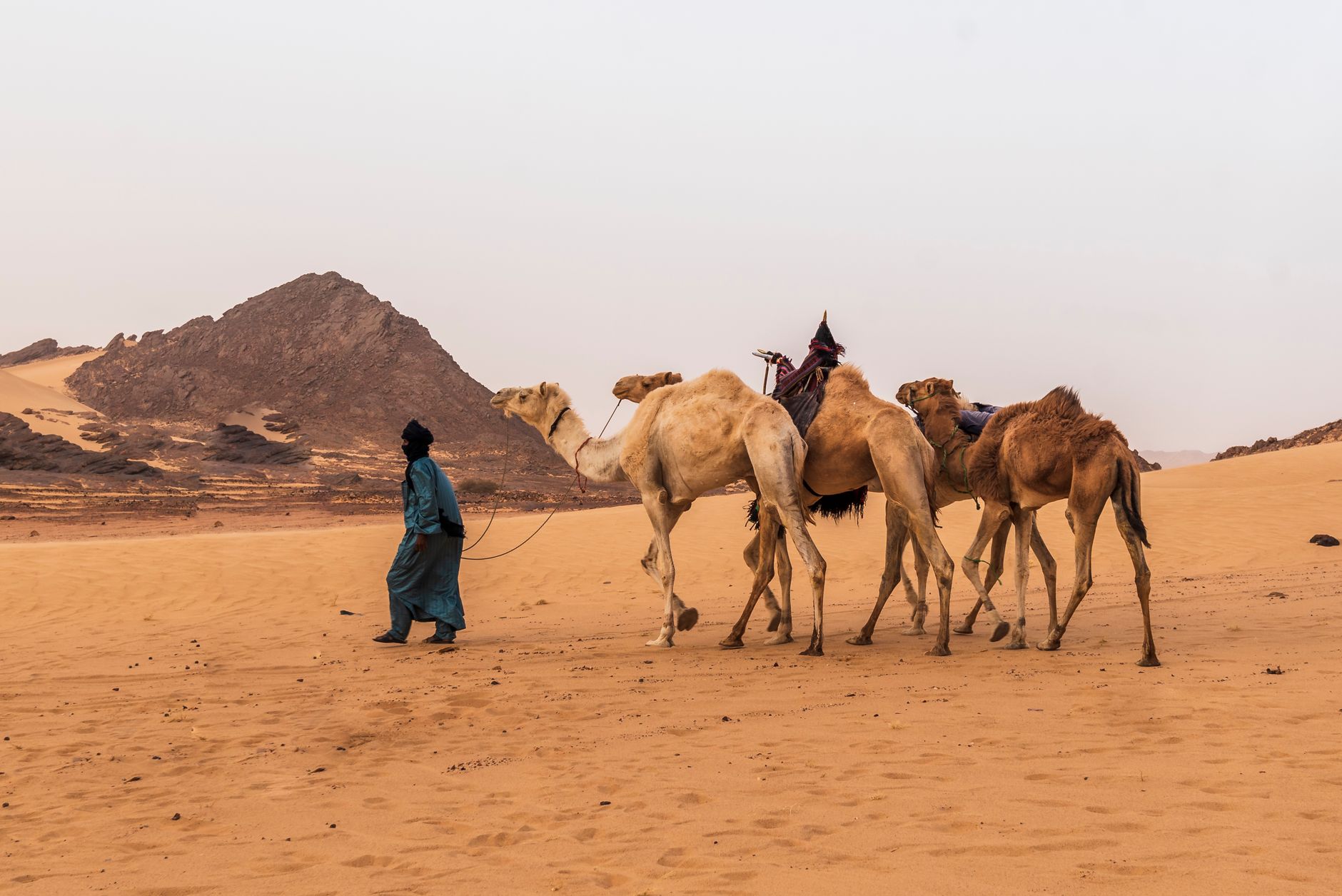
The city began as a node in a web of camel routes connecting Kano, Lake Chad, Gao, and Agadez — a place where routes converged and people stopped. That logic still holds. Tamanrasset is where you sort your permits, find your guide, stock your vehicle, and orient yourself before the Ahaggar swallows you whole.
💛 What travellers fall for
People who come back tend to say the same thing: go to the Tamanrasset market early, before the heat builds, and look past the tourist-facing stalls toward the silversmiths working at the back. The Museum of the Hoggar rewards a slow hour. And Hotel Tahat's internal courtyard, shielded from the wind, is the right place to sit at the end of a long day in the field.
Deals in Tamanrasset
Book directly at the provider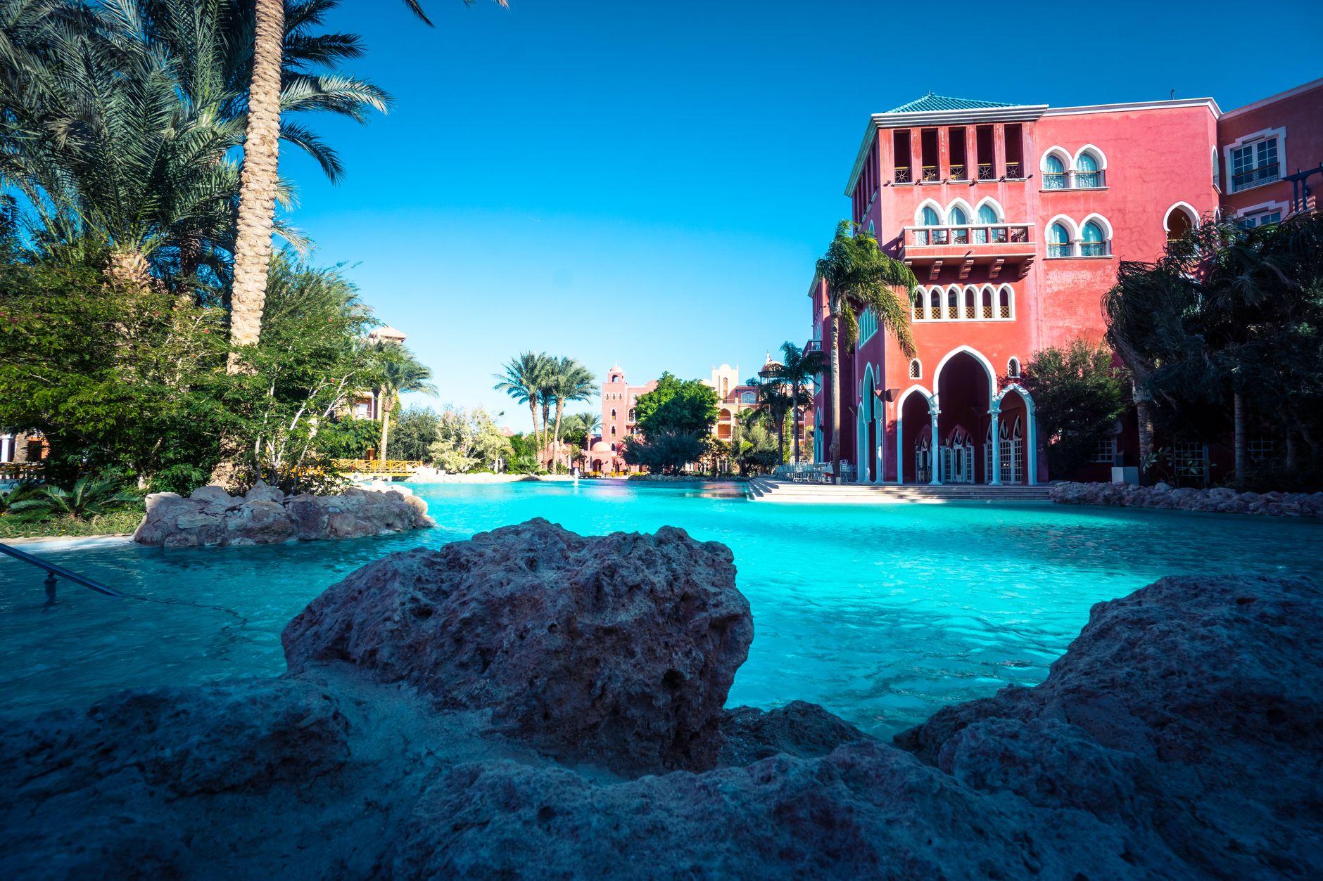

How Tamanrasset came to be
Long before any permanent settlement, Tamanrasset was a crossing point — caravans from Kano, Agadez, Zinder, and Gao passed through the Ahaggar on routes that predated any European map of the region. The French arrived in force in the early 20th century, and it was here that the Catholic hermit Charles de Foucauld built his borj in 1905, spending his remaining years compiling a dictionary of the Tuareg language and transcribing local poetry. He was shot outside his compound on 1 December 1916. The settlement was later named Fort Laperrine after General François-Henry Laperrine, who died in the surrounding desert in 1922.
Administrative status came in 1920, wilaya status in 1974, and a construction boom followed. The asphalting of the Trans-Sahara Highway link to the northern coast was completed in 1978, pulling Tamanrasset further into the national infrastructure. Ahaggar National Park was established in 1987 to protect the mountain landscapes and the ancient rock art scattered across them. A university centre opened in 2005, cementing the city's role as the south's main educational hub.
Who and what shaped it
People who shaped it
Landmark buildings
See Tamanrasset in motion
Plan your visit
On the map
When to go
Tamanrasset's elevation softens the Saharan extremes — summers can still push past 40°C but rarely feel as punishing as lower-altitude desert towns, while winter nights can drop to or just below freezing, so pack a layer you'd be embarrassed to need in the Sahara. The reliable visiting window runs October to March, with November through February offering the most comfortable days for time spent outdoors.
Right now
Background & history adapted from Wikipedia (CC BY-SA) · specs from Wikidata (CC0) · weather from Open-Meteo · map data © OpenStreetMap contributors · photos from Wikimedia Commons / Unsplash with per-image credit. No third-party reviews or social posts reproduced.