
Takapuna

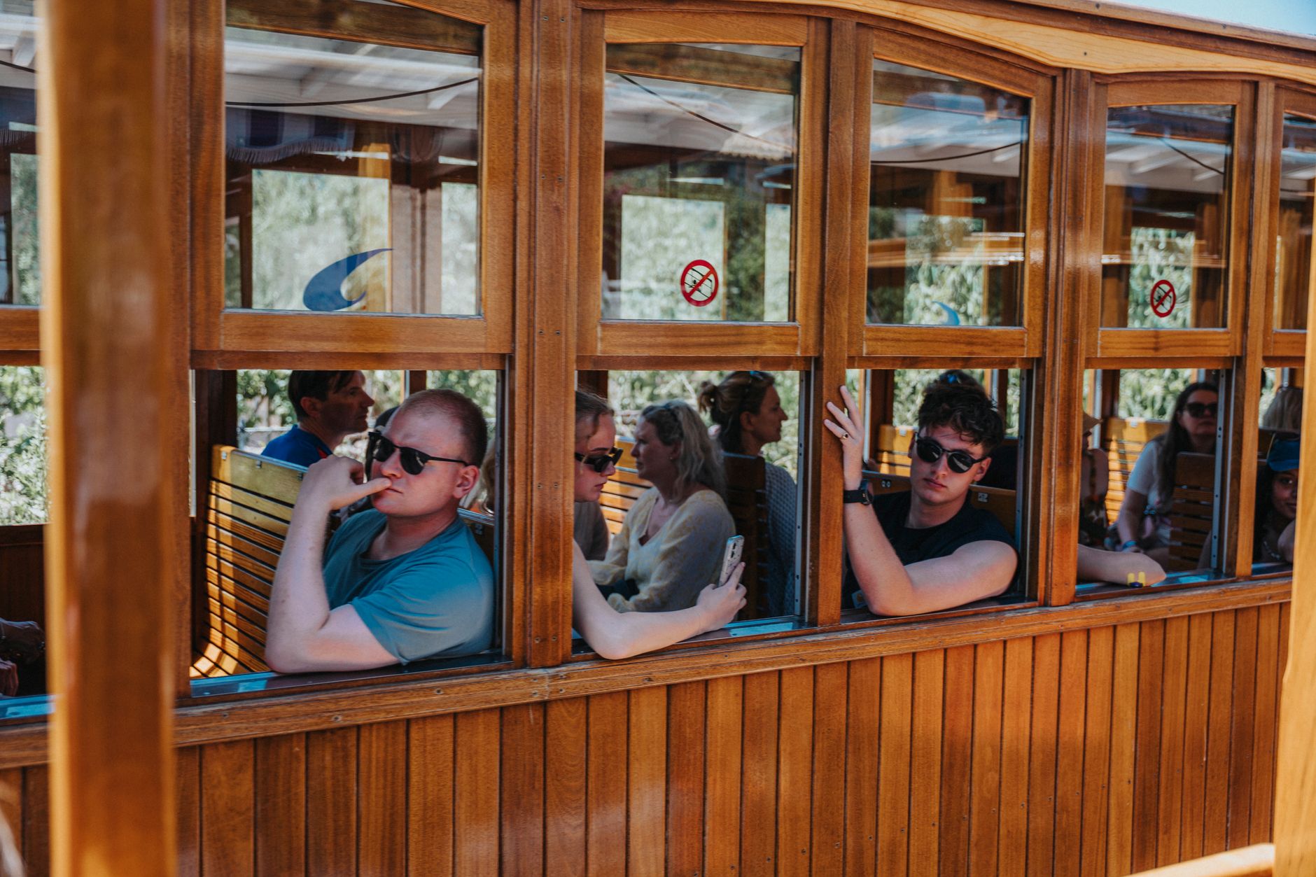
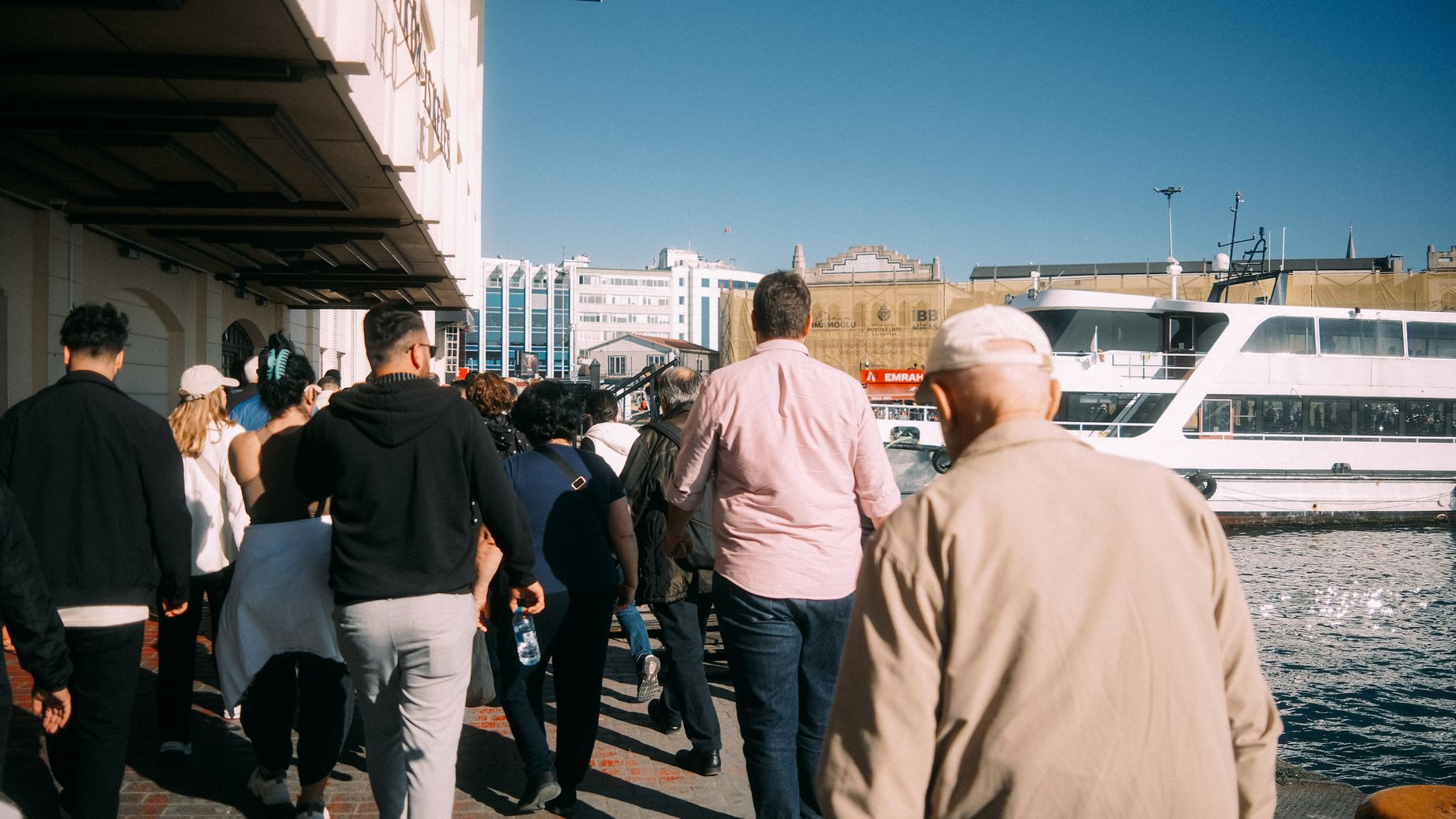
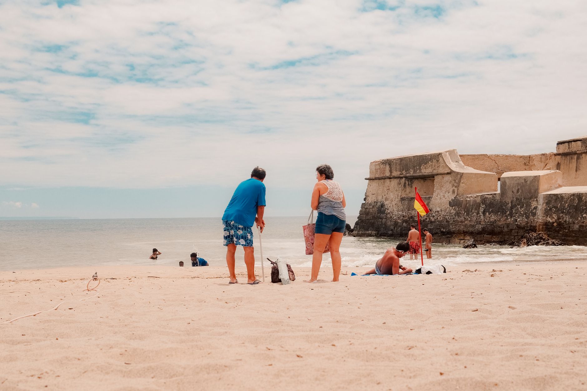
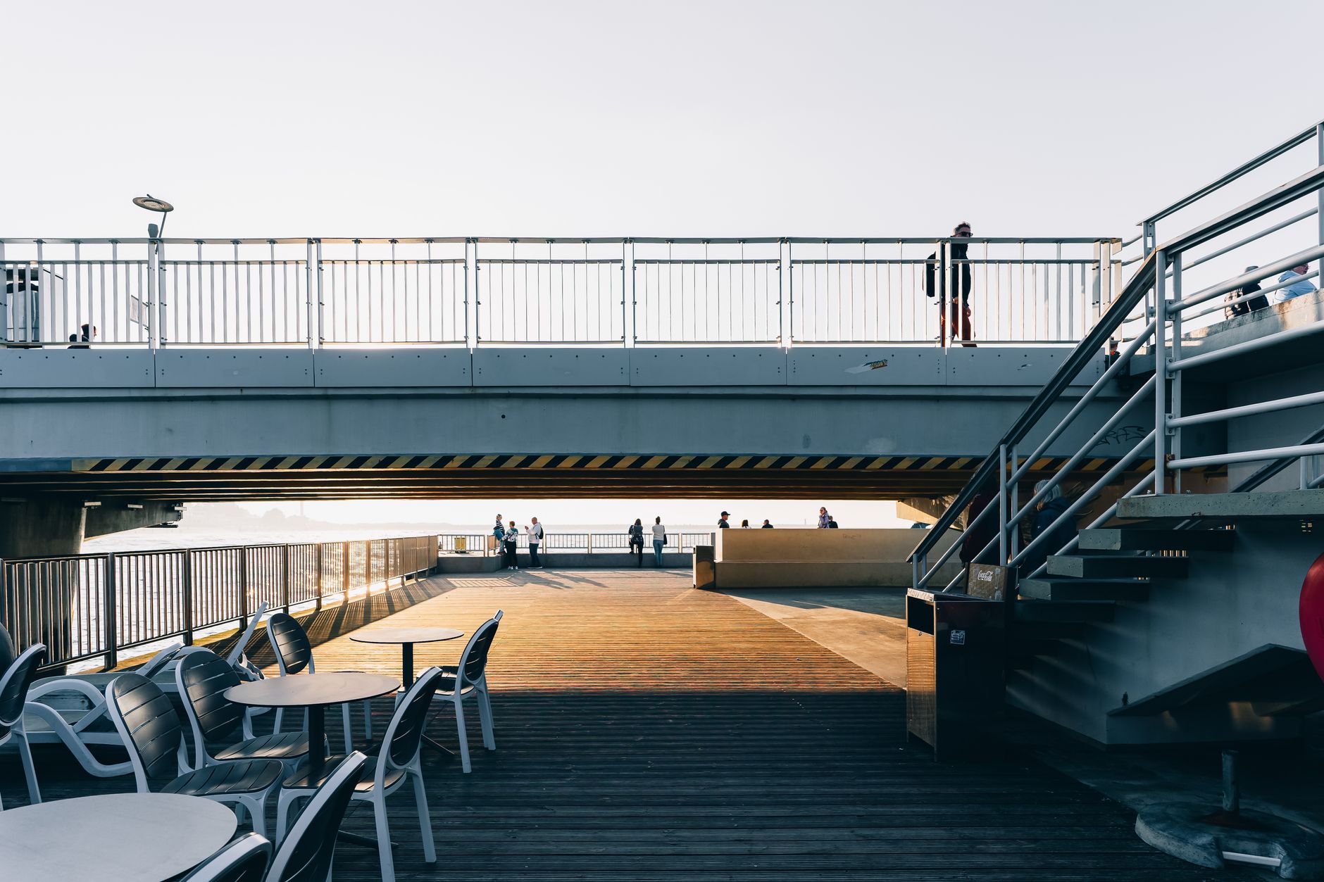
Takapuna sits on Auckland's North Shore with its back to Lake Pupuke and its face to the Hauraki Gulf, and the combination gives the suburb an unhurried double life — beach town and town centre at once. The main strip along Hurstmere Road fills with Saturday morning coffee-drinkers and farmers' market regulars, while a ten-minute walk puts you on a long stretch of sand looking back at Rangitoto.
It's the kind of place that became itself gradually: steam trams, then a harbour bridge, then a tower block that residents still argue about. The layers are still legible if you know where to look.
💛 What travellers fall for
People who come back tend to arrive early on Saturday for the beach before the families do, then work their way up Hurstmere for coffee and the market. Lake Pupuke draws a quieter crowd — walkers, kayakers, the occasional open-water swimmer. Fort Takapuna is worth the detour for the gun emplacements alone, and it's almost always quiet.
Deals in Takapuna
Book directly at the provider


How Takapuna came to be
The name Takapuna comes from a freshwater spring at Maungauika — named by Hoturoa of the Tainui waka around 1350, in memory of a spring in his ancestral homeland of Hawaiki. The Devonport-Takapuna area was among the earliest settled in the region, tied to the Tāmaki Māori ancestor Peretū. European settlers arrived in 1847, and the Crown granted land here to Ngāpuhi chief Eruera Maihi Patuone as a strategic buffer for Auckland. Jean-Baptiste Pompallier established St Mary's College two years later.
For most of the 19th century the area was simply called the Lake District, with Lake Pupuke drawing summer visitors and prompting the first farmland subdivisions from 1886. Steam trams arrived in 1910, the Borough of Takapuna was gazetted in 1913, and the opening of the Auckland Harbour Bridge in 1959 turned a quiet lakeside town into the administrative heart of the North Shore.
Who and what shaped it
People who shaped it
Landmark buildings
See Takapuna in motion
Plan your visit
On the map
When to go
Auckland's North Shore runs warm and humid from December through March — beach weather, with occasional sharp summer downpours. Winter months are mild but grey and wet; spring and autumn tend to offer the most reliable clear days for the water views.
Right now
Background & history adapted from Wikipedia (CC BY-SA) · specs from Wikidata (CC0) · weather from Open-Meteo · map data © OpenStreetMap contributors · photos from Wikimedia Commons / Unsplash with per-image credit. No third-party reviews or social posts reproduced.