
Summertown
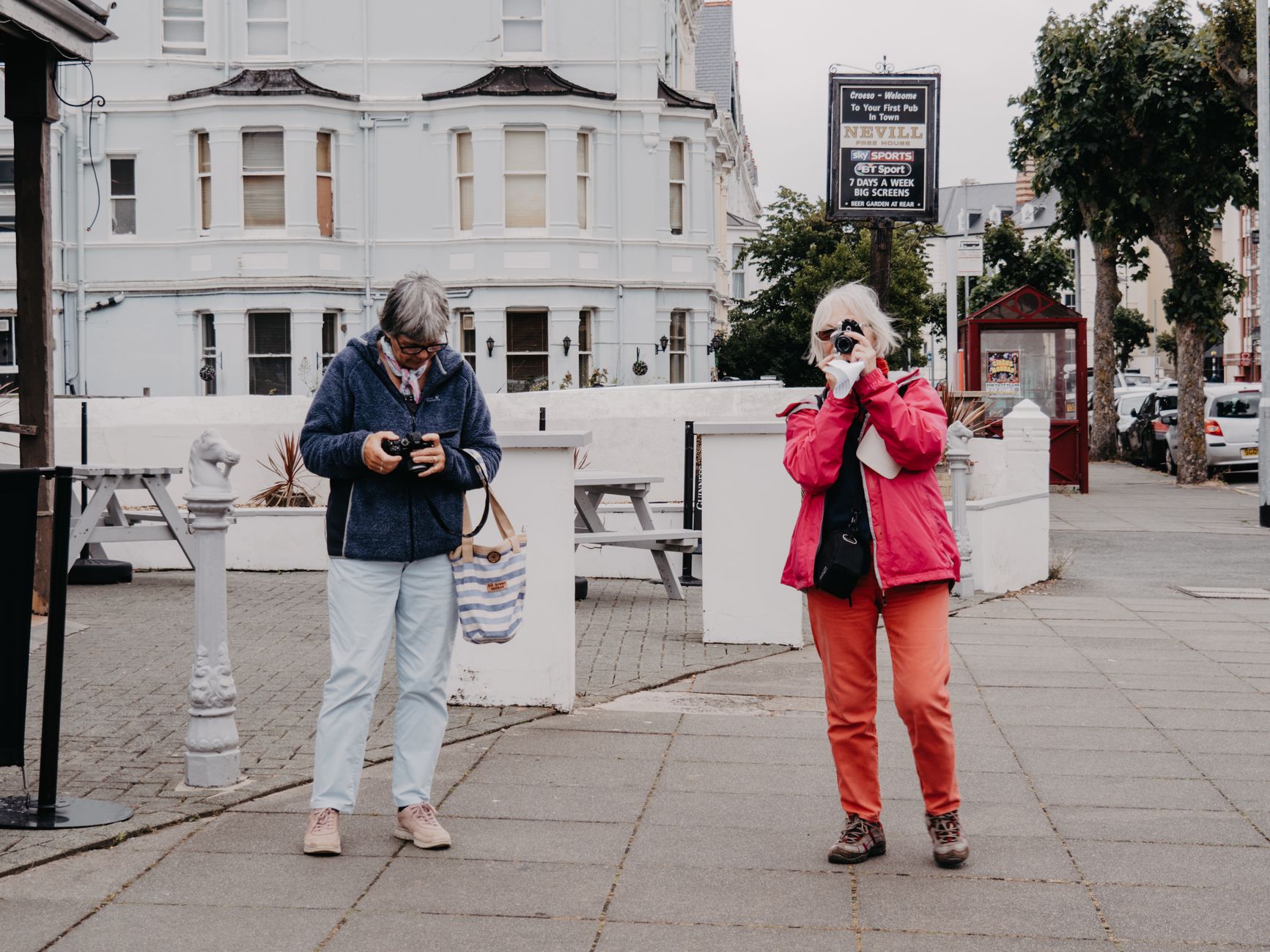
About a mile and a half north of the city centre, where Banbury Road and Woodstock Road run parallel toward the ring road, Summertown is the part of Oxford where academics bought houses after 1877, when the university finally allowed college fellows to marry. The streets behind the main roads still carry that history in their bones — wide Victorian semis set back behind hedges, most of them built on land that St John's College sold on long leases.
Today the neighbourhood runs on a different rhythm: the fortnightly North Parade Market, the Cherwell Boathouse where you can pick up a punt and head upstream to a pub, and a stretch of independent shops along South Parade connecting the two main roads.
💛 What travellers fall for
People who come back tend to time it around the North Parade Market — second and fourth Saturday — and combine it with a punt from the Cherwell Boathouse. The upstream route to The Victoria Arms is quieter and less trafficked than anything you'd find closer to the city. South Parade is worth a slow walk end to end.
Deals in Summertown
Book directly at the provider


How Summertown came to be
The name has an uncertain origin — early references spell it Somers Town or Summers Town, and the pleasant-sounding version may simply be a later rationalisation. A parish was carved out of northern St Giles' in 1833, but the neighbourhood's character was really set by a single rule change in 1877: Oxford University allowed college fellows to marry and live off-site. Within a generation, the farmland on either side of Banbury Road and Woodstock Road — much of it belonging to St John's College — was covered in substantial Victorian houses.
Summertown was absorbed into the city in 1889, and a second wave of building followed in the 1890s. The 1960s brought a rougher edit: several older houses came down for office blocks, including Mayfield House and Prama House, leaving a streetscape that still hasn't entirely recovered.
Who and what shaped it
People who shaped it
Landmark buildings
See Summertown in motion
Plan your visit
On the map
When to go
Oxford sits in a rain shadow relative to the west of England, so Summertown is drier than it might seem — spring and early autumn are the easiest seasons to visit, with mild temperatures and the Cherwell in good condition for punting. Winters are grey and damp rather than severe, and the indoor options along South Parade come into their own.
Right now
Background & history adapted from Wikipedia (CC BY-SA) · specs from Wikidata (CC0) · weather from Open-Meteo · map data © OpenStreetMap contributors · photos from Wikimedia Commons / Unsplash with per-image credit. No third-party reviews or social posts reproduced.