
Seminyak
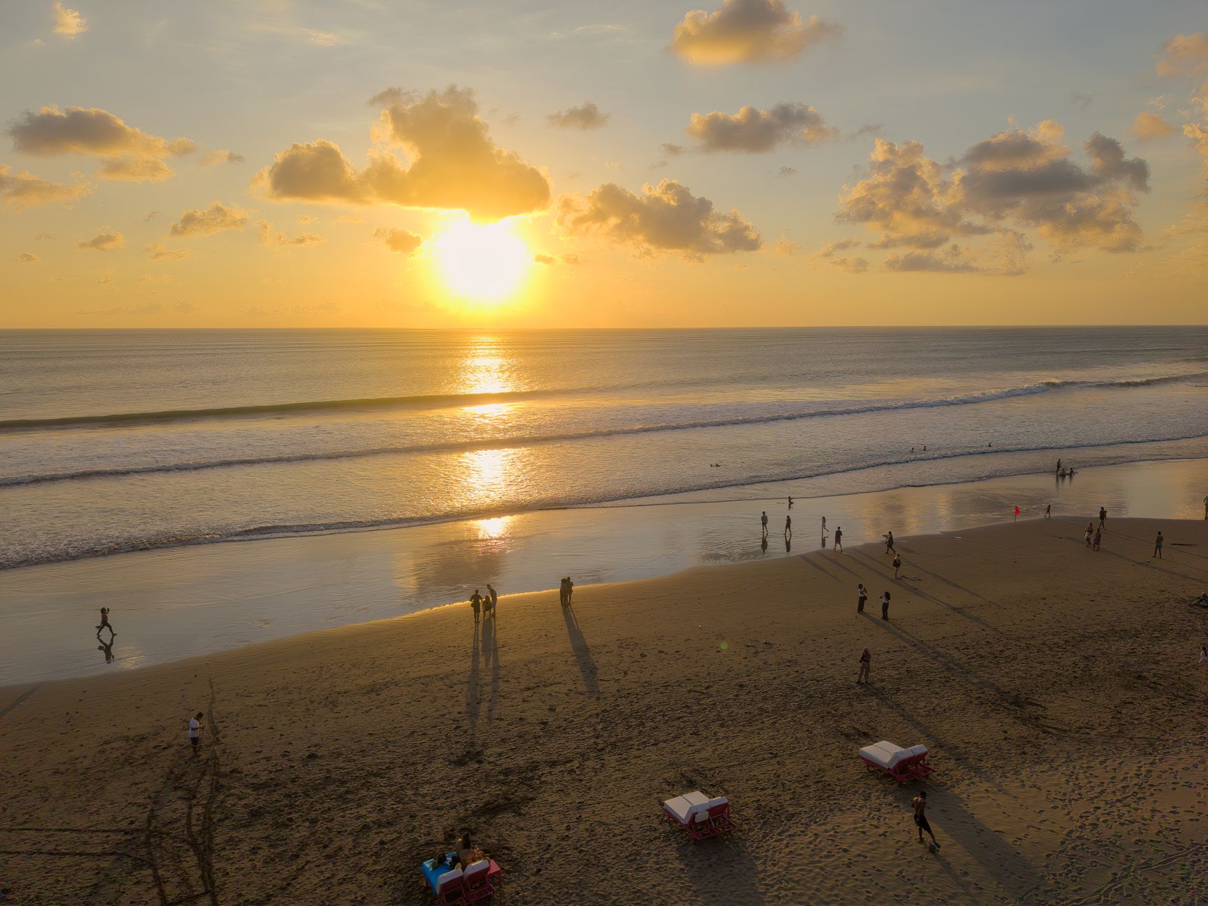
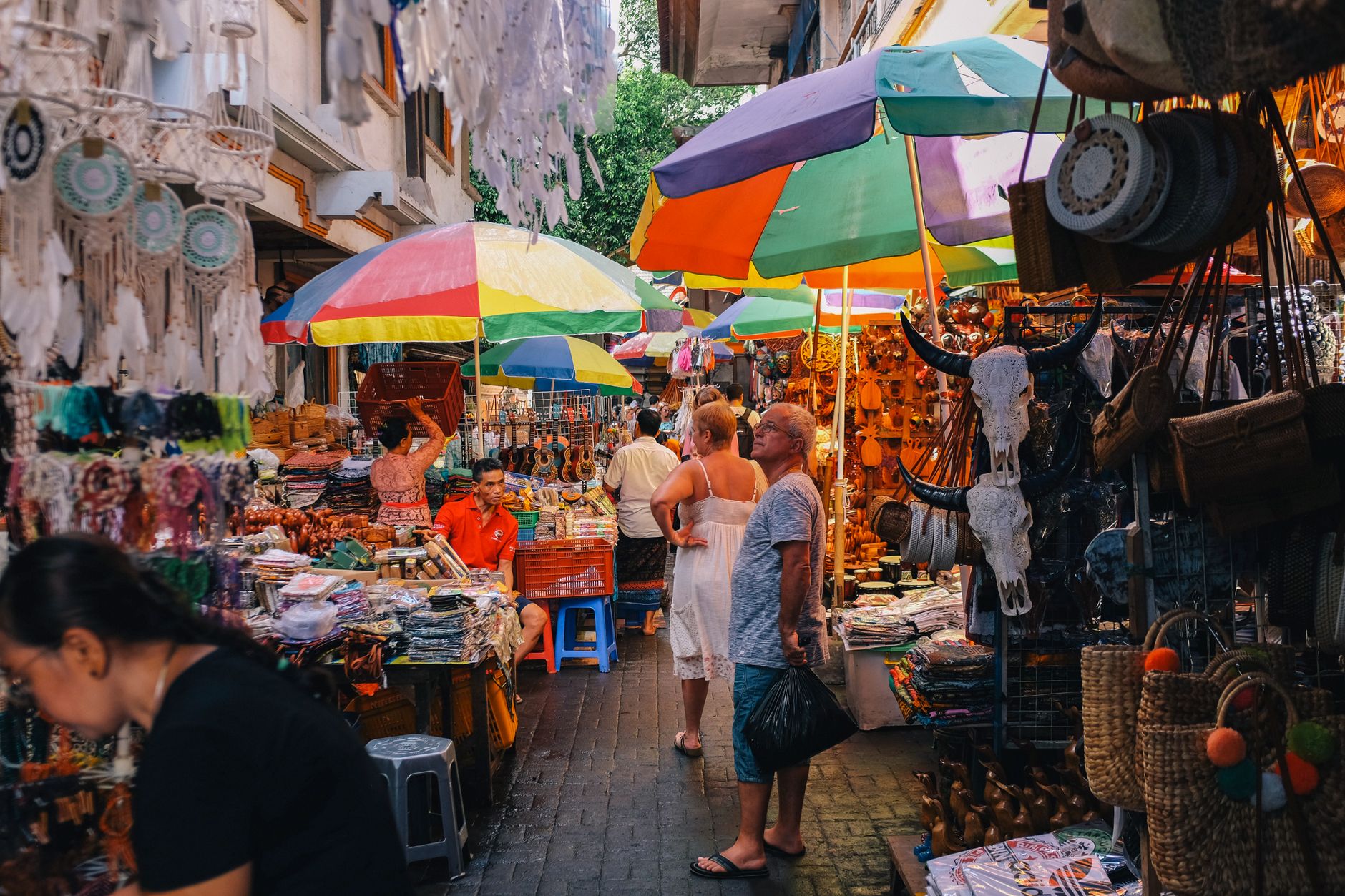
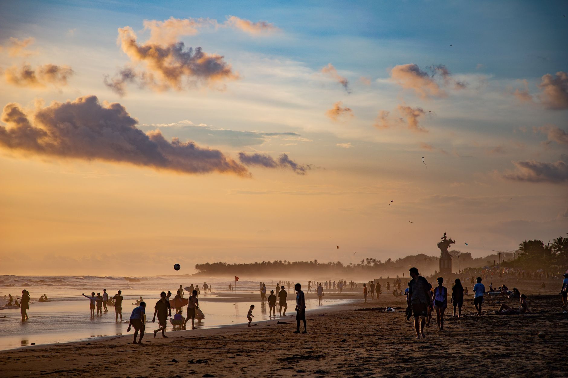
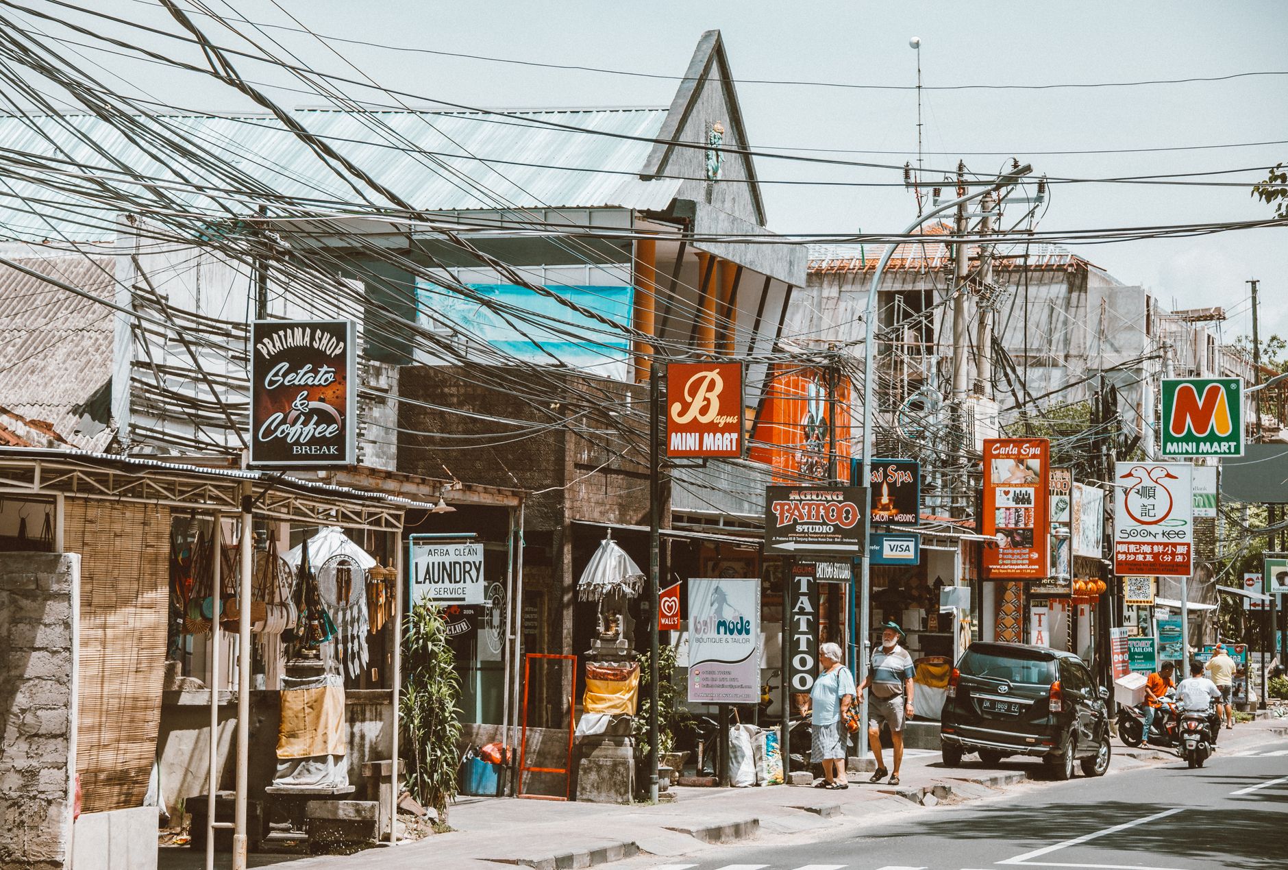
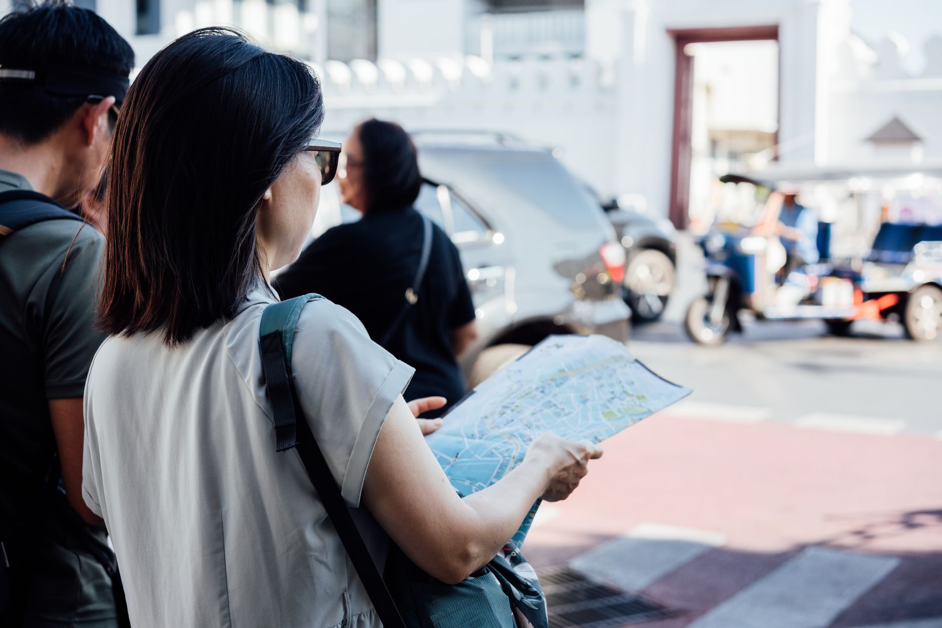
Seminyak announces itself through texture before anything else: the soft drag of volcanic sand underfoot, the particular rattle of teak shutters on a beach club wall, the smell of incense drifting from a temple gate a few steps from a cocktail bar. This is the stretch of Bali's southwest coast where a fishing village quietly reinvented itself into something more considered — not louder than its neighbours to the south, but more deliberate.
The streets around Jalan Kayu Aya, locally called Eat Street, concentrate restaurants, galleries, and boutiques in a way that rewards slow walking. The beach is wide and the sunsets are long, and the temples on the shoreline still hold ceremonies that have nothing to do with tourism.
💛 What travellers fall for
People who come back tend to anchor themselves near Jalan Petitenget early in the morning, when the road belongs mostly to offering-bearers heading to Pura Petitenget before the day's traffic thickens. They also learn quickly that Blue Bird taxis and a pre-agreed ride app beat flagging anything unmarked — especially after dark.
Deals in Seminyak
Book directly at the provider


How Seminyak came to be
Seminyak takes its name from a temple founded in the 18th century by a Javanese priest on what was then a quiet stretch of fishing coast. For most of its existence the area was exactly that — rice fields, fishing boats, and a handful of villages that had no particular reason to attract outside attention.
The shift began in the 1970s, when travellers looking for breathing room from Kuta started drifting north. The decisive moment came in 1978 with the opening of The Oberoi Beach Resort, which introduced a model of Balinese luxury that hadn't existed in the area before. Through the 1980s and 1990s, Australian and European investment followed, building the layer of high-end accommodation and boutique retail that still defines Seminyak's character. Beach clubs arrived in the early 2000s and completed the transformation.
Who and what shaped it
Landmark buildings
See Seminyak in motion
Plan your visit
On the map
When to go
Temperatures hold steady year-round between roughly 29°C and 32°C by day. The wet season runs November through March — December and January bring the heaviest rain, often in sharp afternoon downpours rather than all-day grey — while July and August are the driest months, with barely a drop falling across the whole month.
Right now
Background & history adapted from Wikipedia (CC BY-SA) · specs from Wikidata (CC0) · weather from Open-Meteo · map data © OpenStreetMap contributors · photos from Wikimedia Commons / Unsplash with per-image credit. No third-party reviews or social posts reproduced.