
São Sebastião
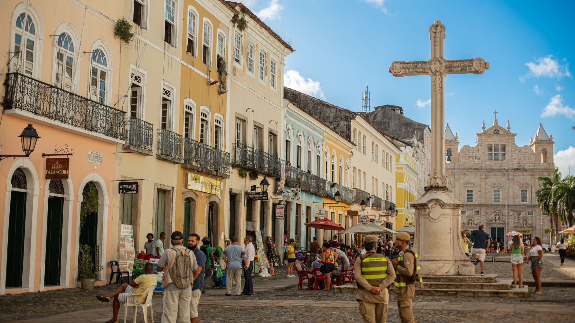
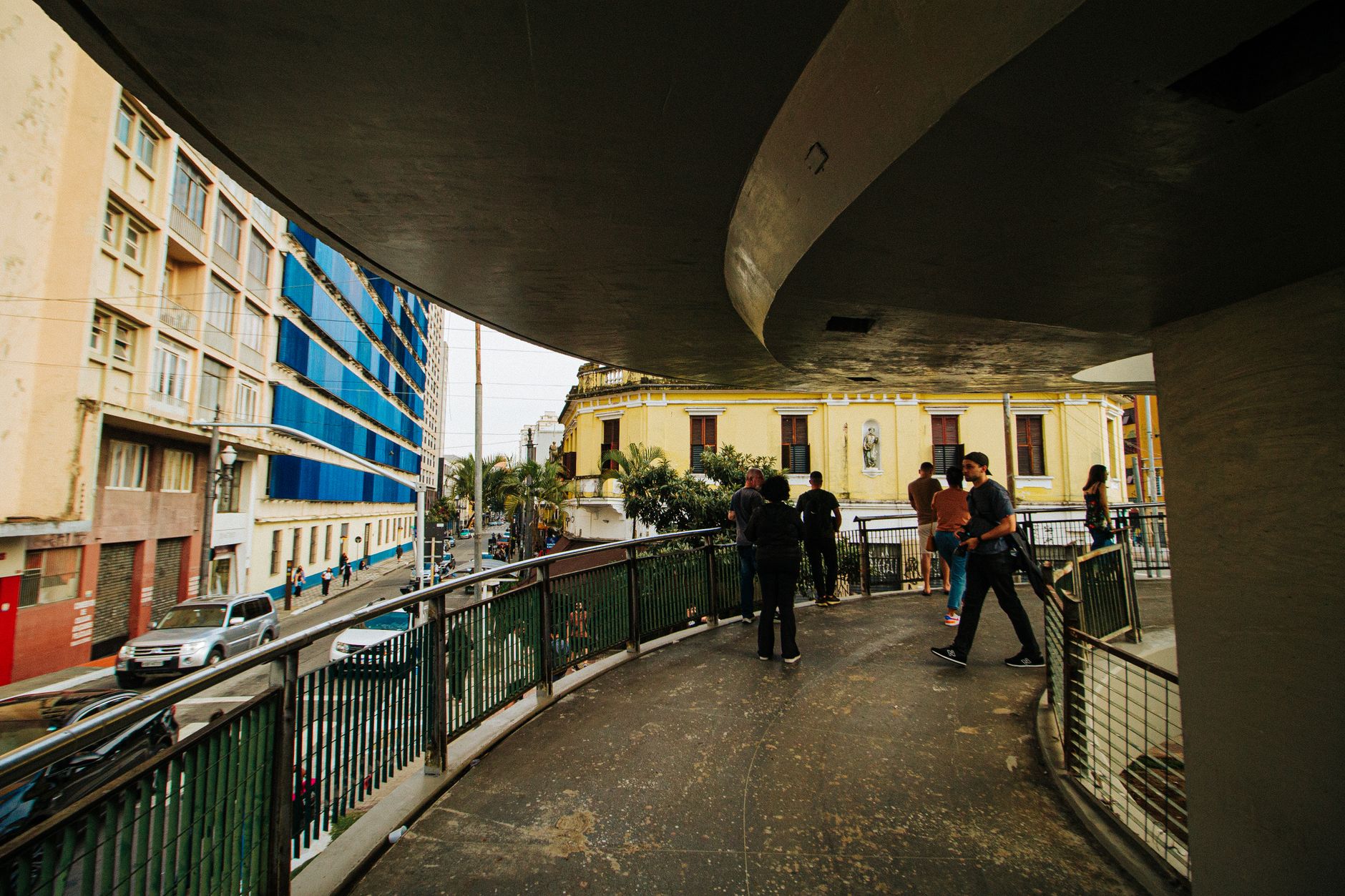
Stand at the edge of São Sebastião's historic center and you can read four centuries in a single glance: the Igreja Matriz rebuilt in restrained Jesuit Baroque, the old Casa de Câmara e Cadeia still standing across the square, and beyond the rooftops, tankers moving slowly through the channel that Américo Vespúcio's expedition passed on January 20, 1502 — the day that gave this city its name.
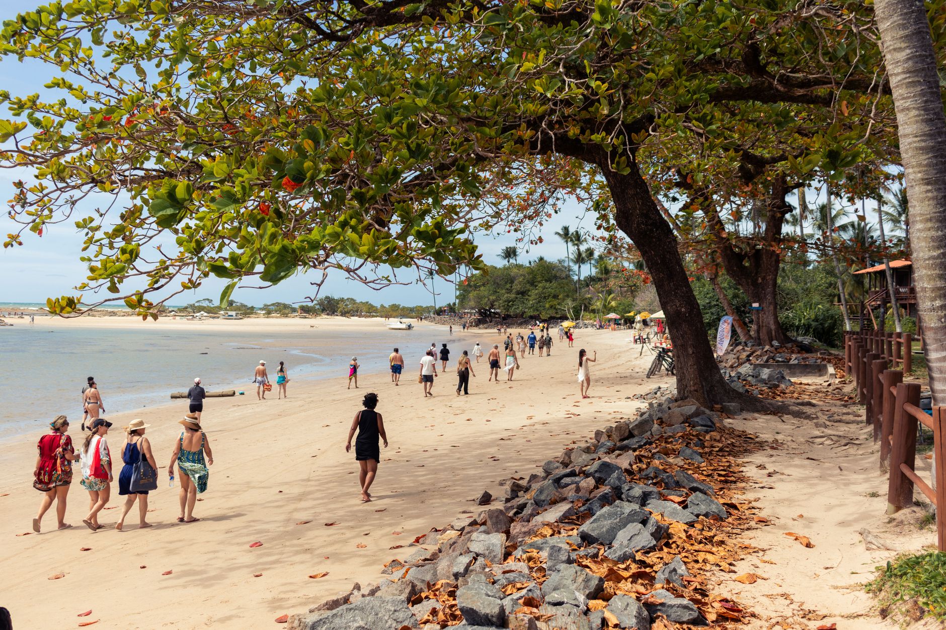
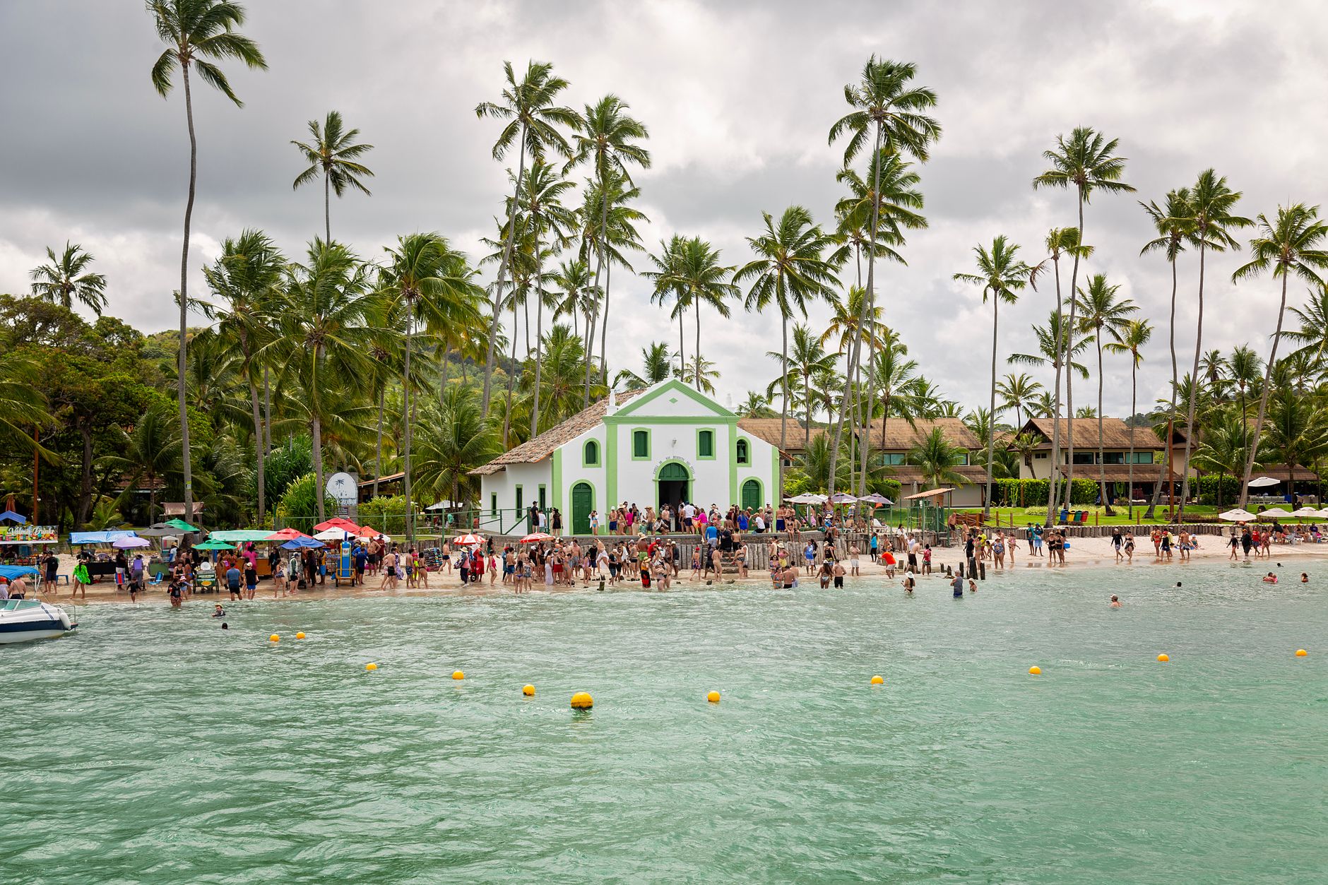
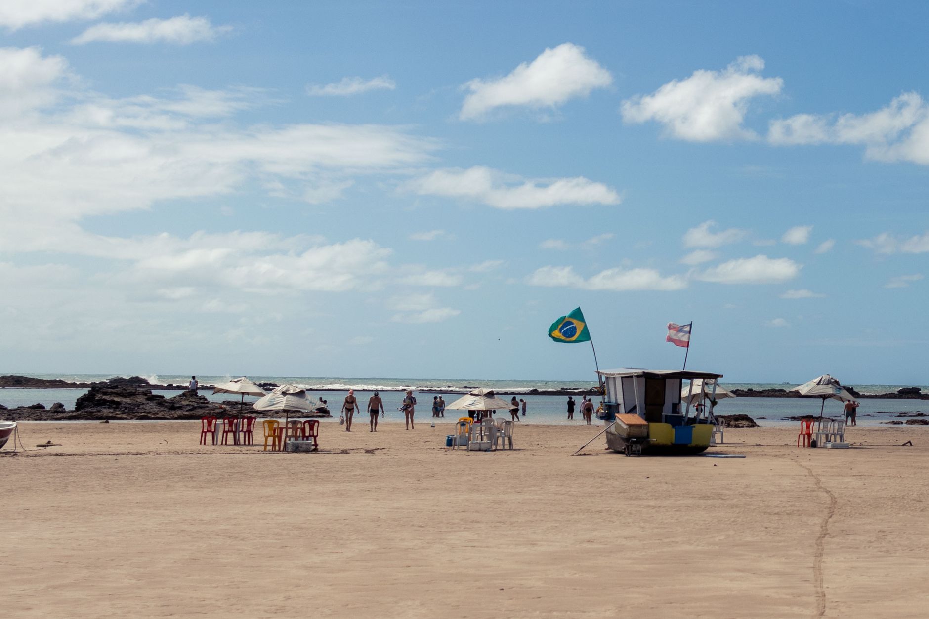
São Sebastião is a working coast town that also happens to have more than thirty beaches strung across nearly a hundred kilometres of shoreline. The Almirante Barroso oil terminal sits at one end of that picture; fishing boats bob in the bay at São Francisco neighbourhood at the other. That tension between industry, history and sea is what makes it different from the resort towns nearby.
💛 What travellers fall for
People who come back tend to time it around January 20, when the Festa de São Sebastião fills the streets around the Matriz church with processions, music and food stalls marking the patron saint's day. The São Francisco neighbourhood is where regulars eat — watch for the fishing boats coming in and follow accordingly.
Deals in São Sebastião
Book directly at the provider

How São Sebastião came to be
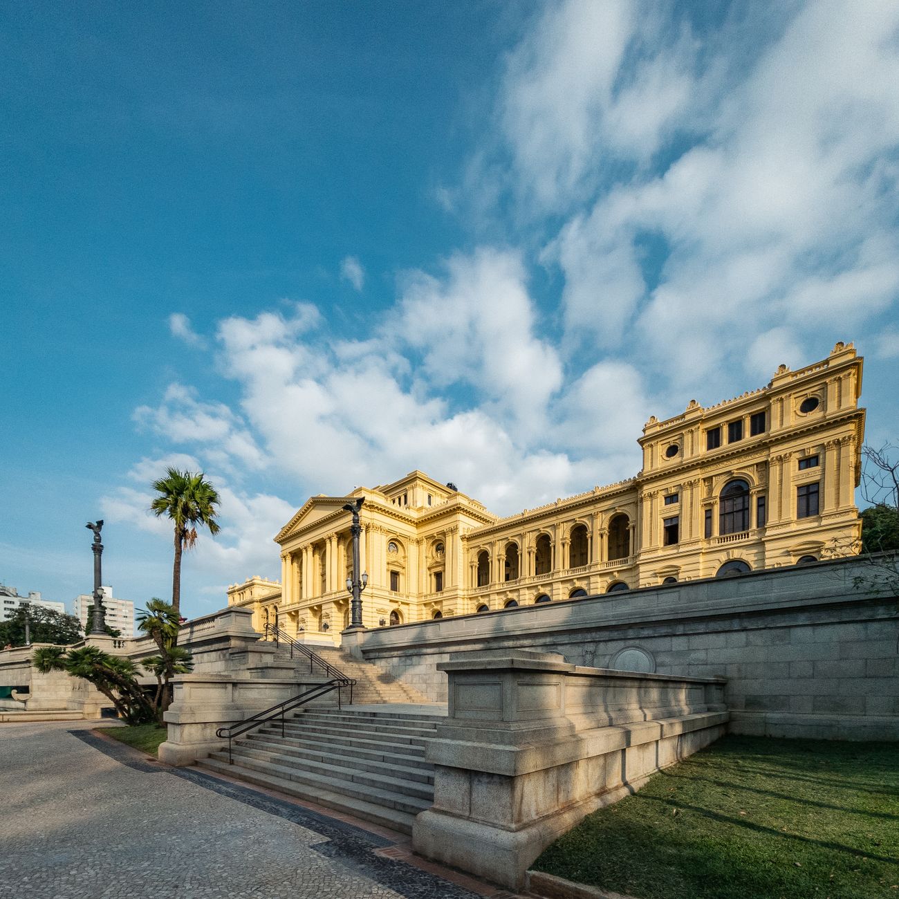
The settlement that became São Sebastião was formalised on March 16, 1636, when Pedro Motta Leite, sixth captain-major of the Captaincy of São Vicente, elevated it to the status of a villa. It took its name from the saint's day of Vespúcio's passage through the channel more than a century earlier. For most of its life it remained geographically cut off, its Caiçara culture — a coastal identity woven from Portuguese, indigenous and African threads — developing in relative isolation along the fishing shore.
Two events in the twentieth century broke that isolation decisively. The commercial port opened in 1936, and in 1969 the Almirante Barroso Oil Terminal began operations, linking São Sebastião to Brazil's industrial economy. Then the Rio-Santos highway arrived in the 1970s, and the beaches that locals had always known became accessible to the rest of the state.
Who and what shaped it
People who shaped it
Landmark buildings
See São Sebastião in motion
Plan your visit
On the map
When to go
January through March brings the most heat — daily means around 25–26 °C — and also the heaviest rain, with roughly twenty wet days per month. June to September is drier and cooler, with temperatures settling between 19 and 21 °C; those months are the more comfortable window for walking the historic centre and exploring the coast without the summer crowds.
Right now
Background & history adapted from Wikipedia (CC BY-SA) · specs from Wikidata (CC0) · weather from Open-Meteo · map data © OpenStreetMap contributors · photos from Wikimedia Commons / Unsplash with per-image credit. No third-party reviews or social posts reproduced.