
São José dos Campos
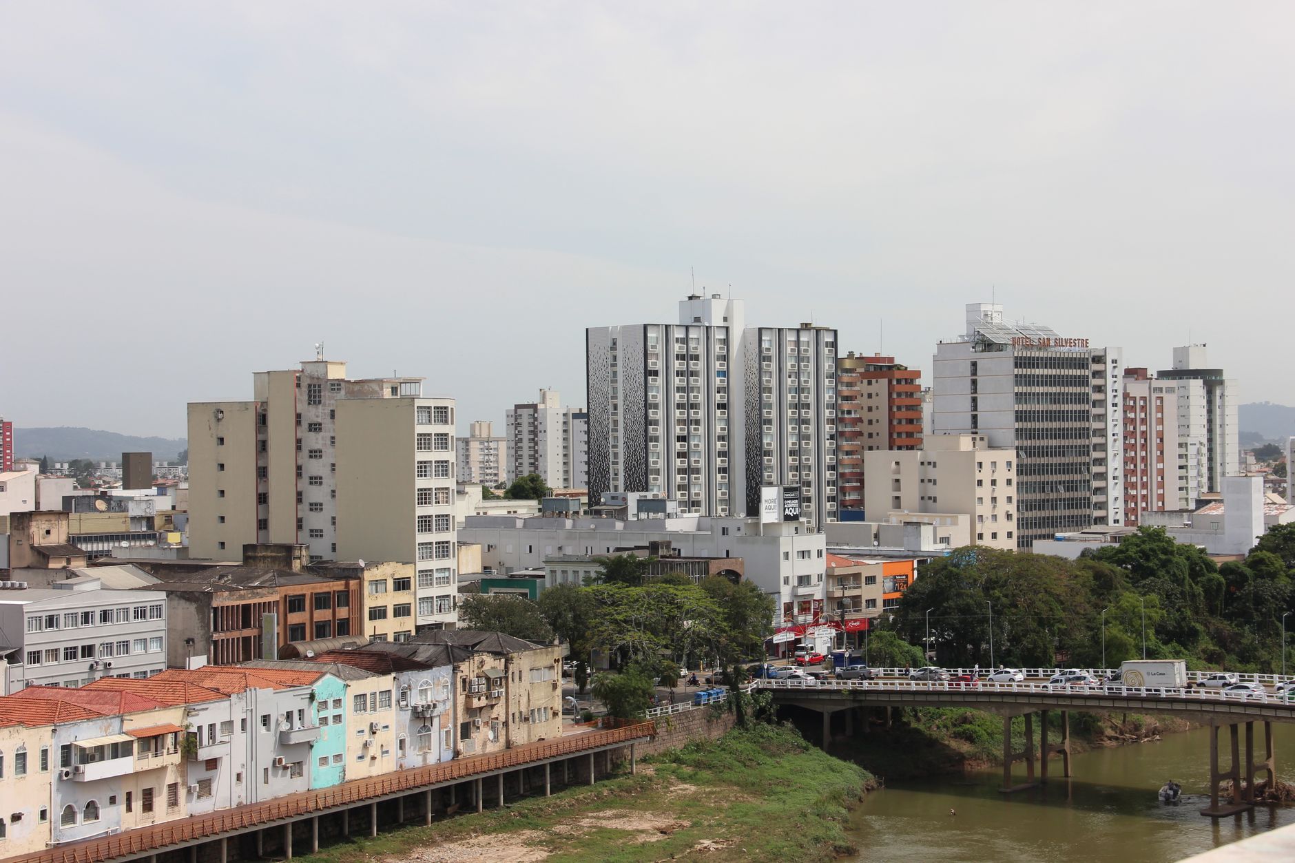
São José dos Campos sits in the Paraíba Valley at roughly 600 metres above sea level, 80 kilometres east of São Paulo, and it has spent the better part of a century being quietly serious about aerospace. The campus Oscar Niemeyer designed for the Technological Institute of Aeronautics in the late 1940s still anchors the city's identity — ITA graduates went on to found Embraer in 1969, and the National Institute for Space Research has been running here since 1961. This is a place that builds things that fly.
Between the research campuses and the old sanatorium grounds, there's a walkable historic centre, a viewpoint above the floodplain where vendors sell sugarcane juice in the late afternoon, and a district to the north where Atlantic rainforest spills down toward waterfalls. The city earns its own attention.
💛 What travellers fall for
People who come back tend to make time for the Mirante do Banhado at dusk — the 180-degree sweep over downtown and Vila Adyana is best with a caldo de cana from one of the cart vendors on Avenida Anchieta. The São Francisco Xavier district rewards a half-day if you want forest and waterfalls without the weekend crowds that gather closer to Campos do Jordão.
Deals in São José dos Campos
Book directly at the provider


How São José dos Campos came to be
The Jesuits established the first settlement here in the late sixteenth century, and the town found its permanent hilltop position between 1643 and 1660. It was known as São José do Paraíba until 1871, and the railway arrived six years later, threading the valley into São Paulo's coffee economy.
The city's character shifted again in 1924 when the Vicentina Aranha sanatorium opened and patients began arriving for the altitude and dry air — a sanatorium era that lasted until mid-century. Then the federal government chose the plateau for ITA, Niemeyer drew the campus, and São José dos Campos became something else entirely: a city whose economy runs on aeronautics, satellites, and the engineers who design them.
Who and what shaped it
People who shaped it
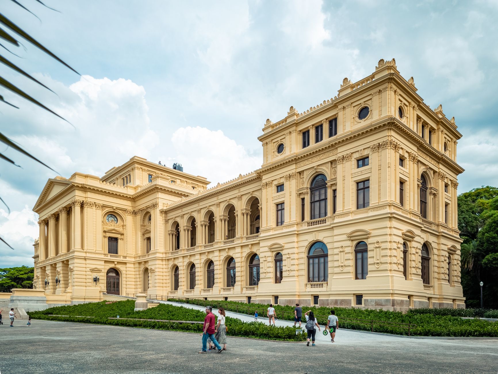
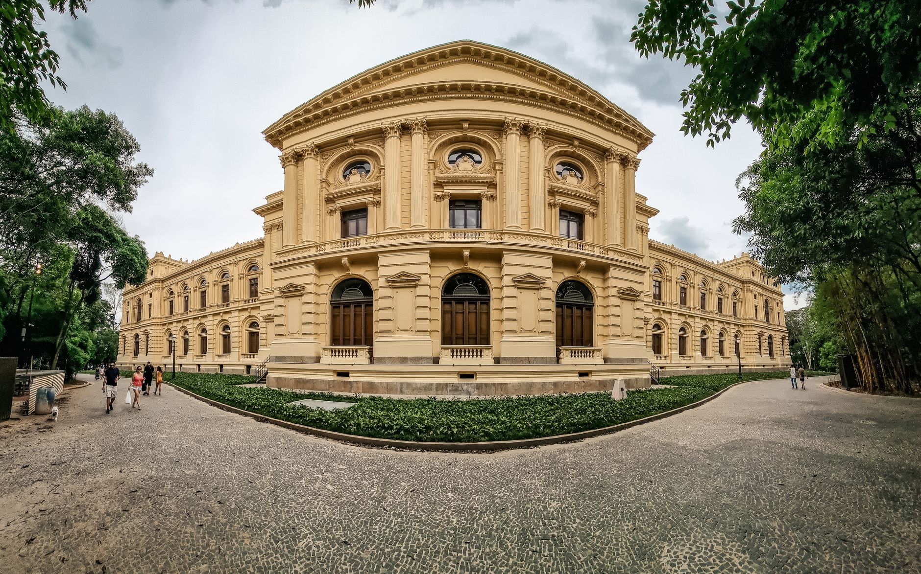
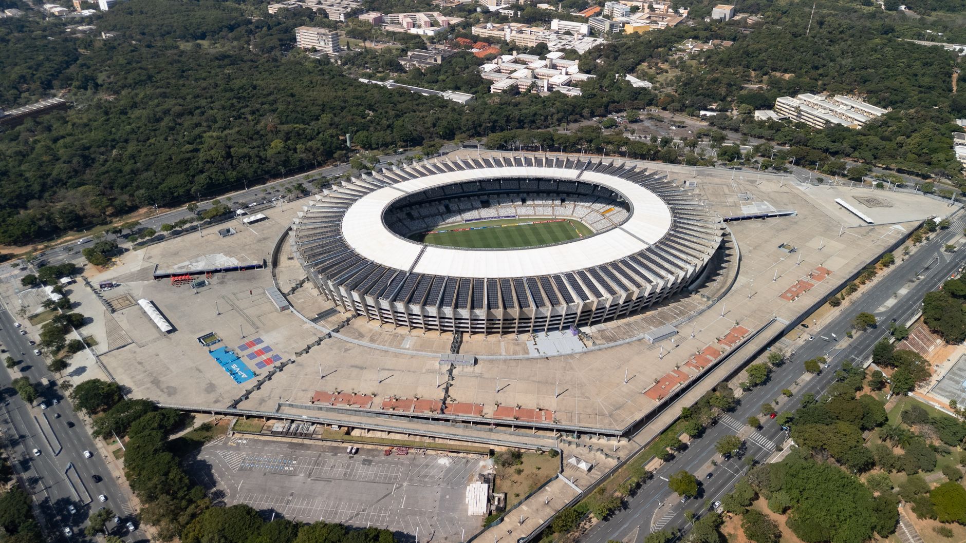
Landmark buildings
See São José dos Campos in motion
Plan your visit
On the map
When to go
The dry season, mid-May to mid-August, brings cool days and nights that can fall to 5°C — pack a layer. November through March is hot and reliably wet, with January averaging rain on more than twenty days.
Right now
Background & history adapted from Wikipedia (CC BY-SA) · specs from Wikidata (CC0) · weather from Open-Meteo · map data © OpenStreetMap contributors · photos from Wikimedia Commons / Unsplash with per-image credit. No third-party reviews or social posts reproduced.