
Santa Teresa Gallura
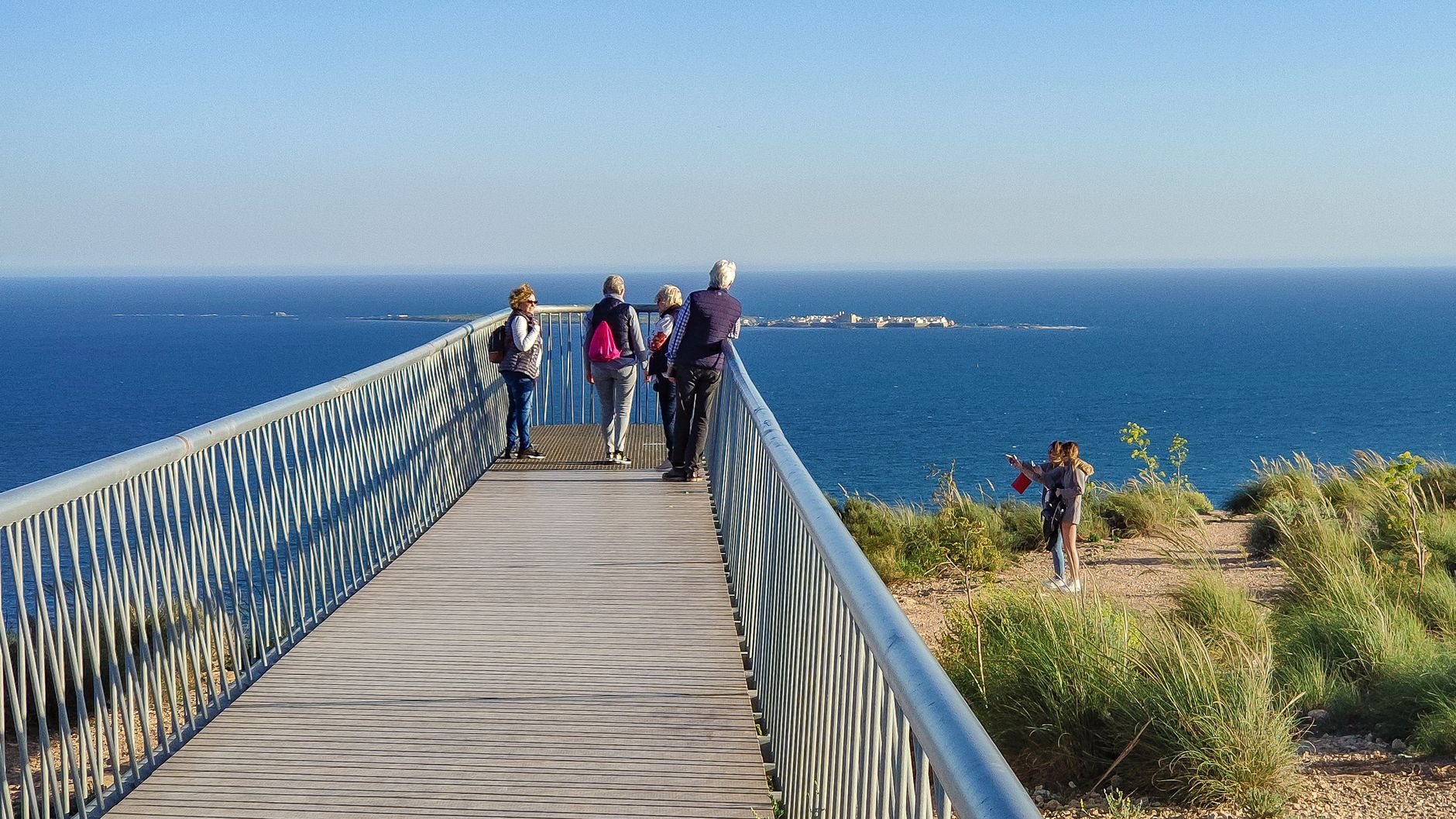
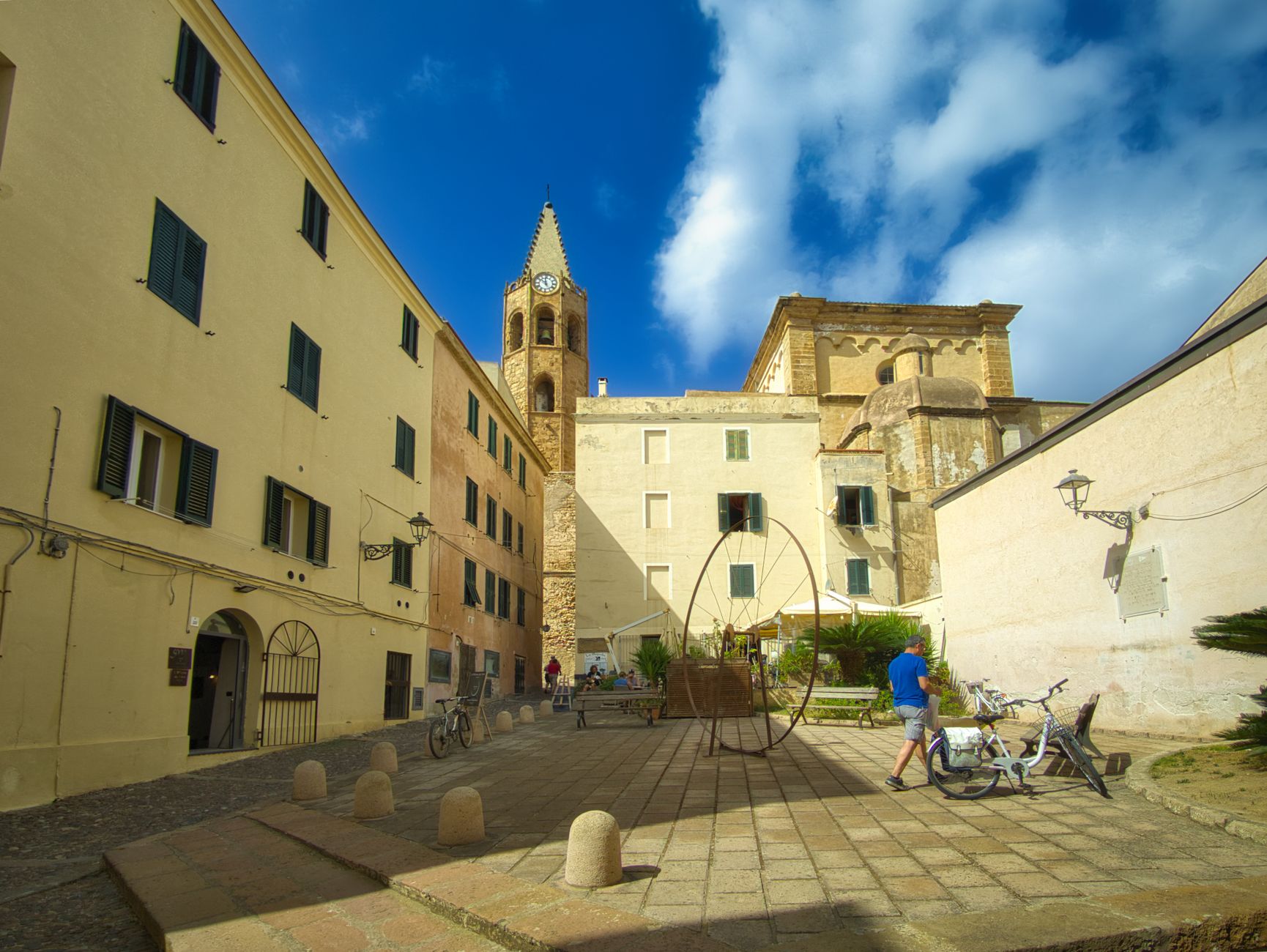
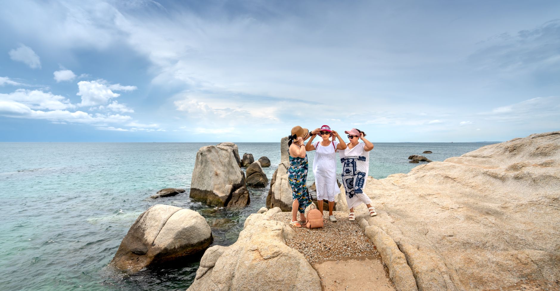

At the northern tip of Sardinia, Santa Teresa Gallura sits where the island almost touches France — the Strait of Bonifacio is barely eleven kilometres wide here, and on clear days Corsica looks close enough to swim to. The town itself is compact and grid-shaped, its straight streets a deliberate echo of Turin, laid out in 1808 by Savoyard planners who wanted order at the edge of the Mediterranean.
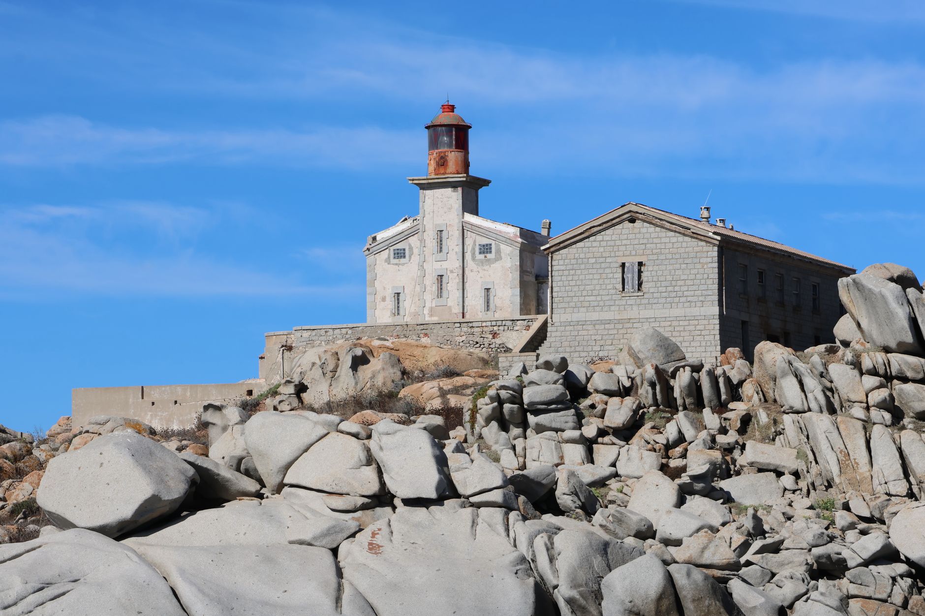
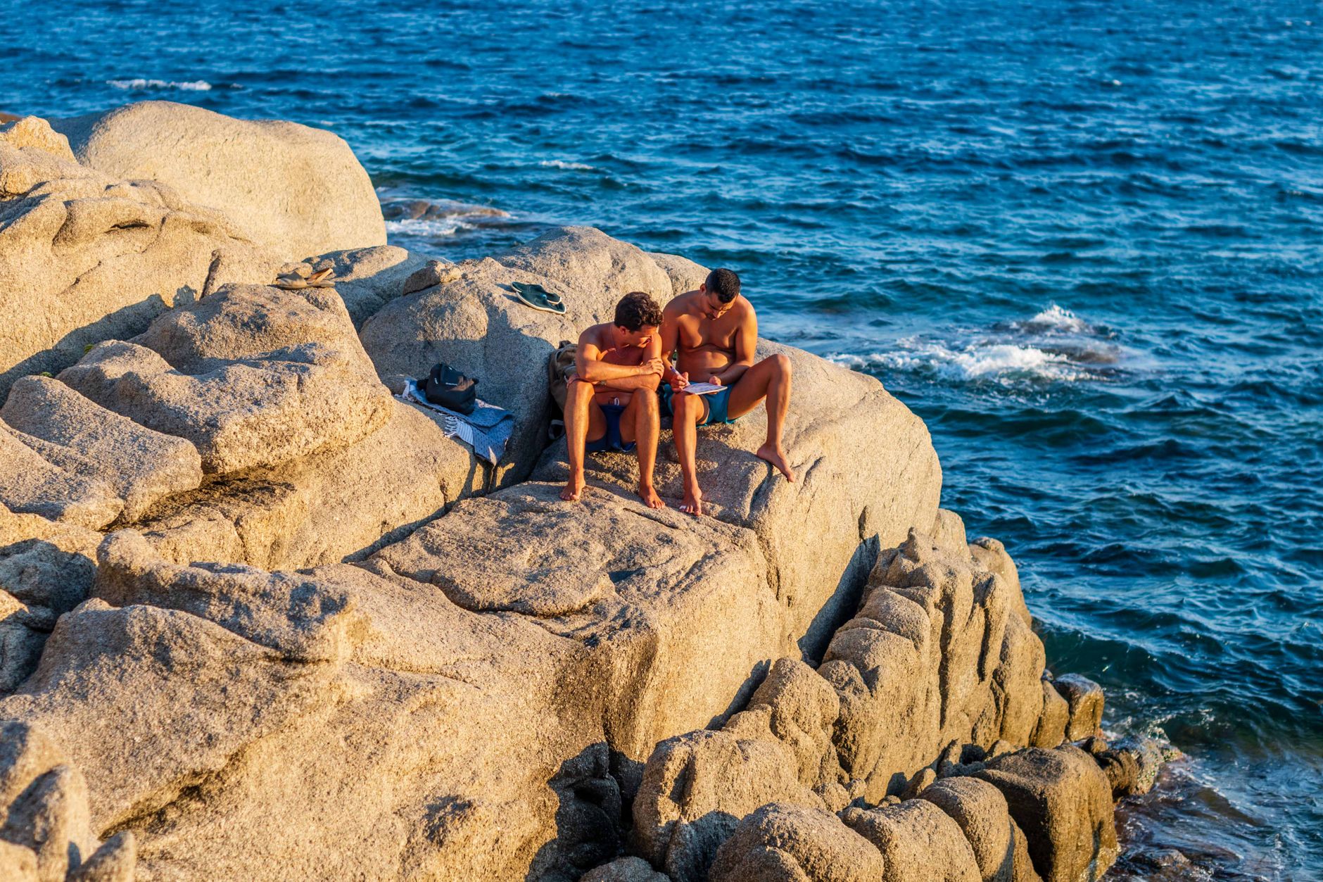
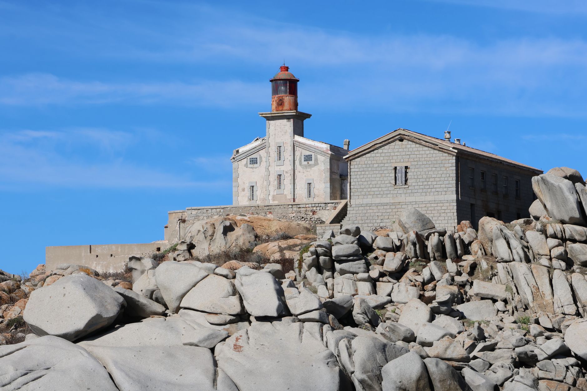
What stays with you is the granite. It surfaces everywhere: in the sixteenth-century tower above the port, in the great pale boulders of the Valle della Luna just outside town, in the coves where rock walls rise straight from the sea. The stone gives the place a particular weight and character that the summer crowds can't entirely obscure.
💛 What travellers fall for
People who come back tend to time an evening at the Torre di Longosardo for the light, walk the footpath to Valle della Luna in the early morning before anyone else arrives, and catch the short ferry crossing to Bonifacio for lunch — the fifty-minute ride across the strait is reason enough on its own.
Experiences you don't want to miss
Deals in Santa Teresa Gallura
Book directly at the providerHow Santa Teresa Gallura came to be
Before 1808, this headland was home to a small settlement called Longosardo, watched over by a Spanish coastal tower built by 1577 under Philip II — a granite cylinder on a rocky spur, 11 metres tall, designed to monitor maritime traffic through the strait and house a small garrison.
King Vittorio Emanuele I of Savoy founded the modern town on August 12, 1808, naming it after his wife, Maria Teresa of Austria-Este. The date is still marked locally every year. The new settlement was laid out on a rational grid, the Savoyard preference for order made visible in stone. A generation later, between 1835 and 1838, the Church of San Vittorio went up with donations from Annamaria of Savoy and her mother — its plain plastered facade a continuation of the same restrained aesthetic.
Who and what shaped it
People who shaped it
Landmark buildings
See Santa Teresa Gallura in motion
Plan your visit
On the map
When to go
Summers are hot and dry, with strong winds through the Strait of Bonifacio that keep the heat from becoming oppressive and make the water unusually clear. Spring and autumn are mild and far quieter; winters are cool and occasionally wet, and the tower requires advance reservation from November through March.
Right now
Background & history adapted from Wikipedia (CC BY-SA) · specs from Wikidata (CC0) · weather from Open-Meteo · map data © OpenStreetMap contributors · photos from Wikimedia Commons / Unsplash with per-image credit. No third-party reviews or social posts reproduced.