
Santa Eulària des Riu
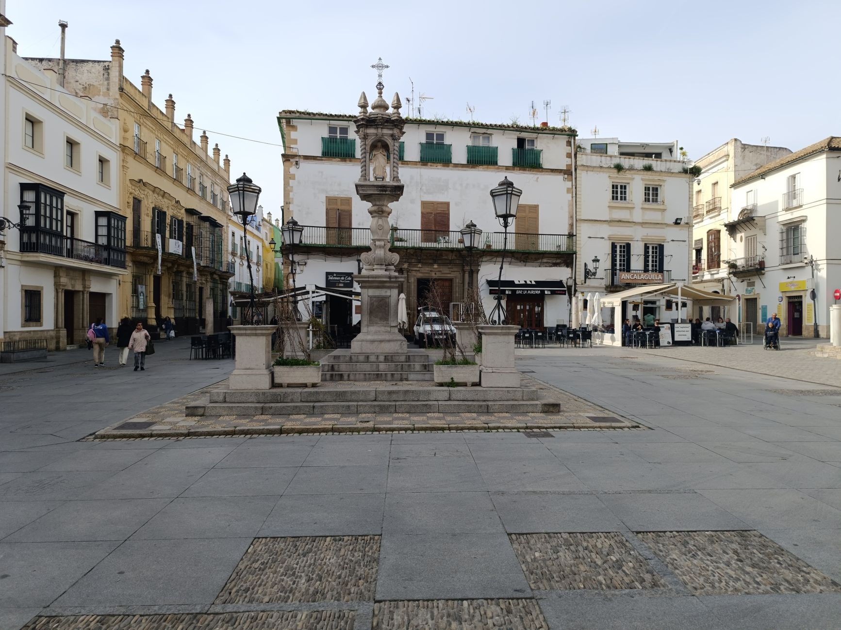
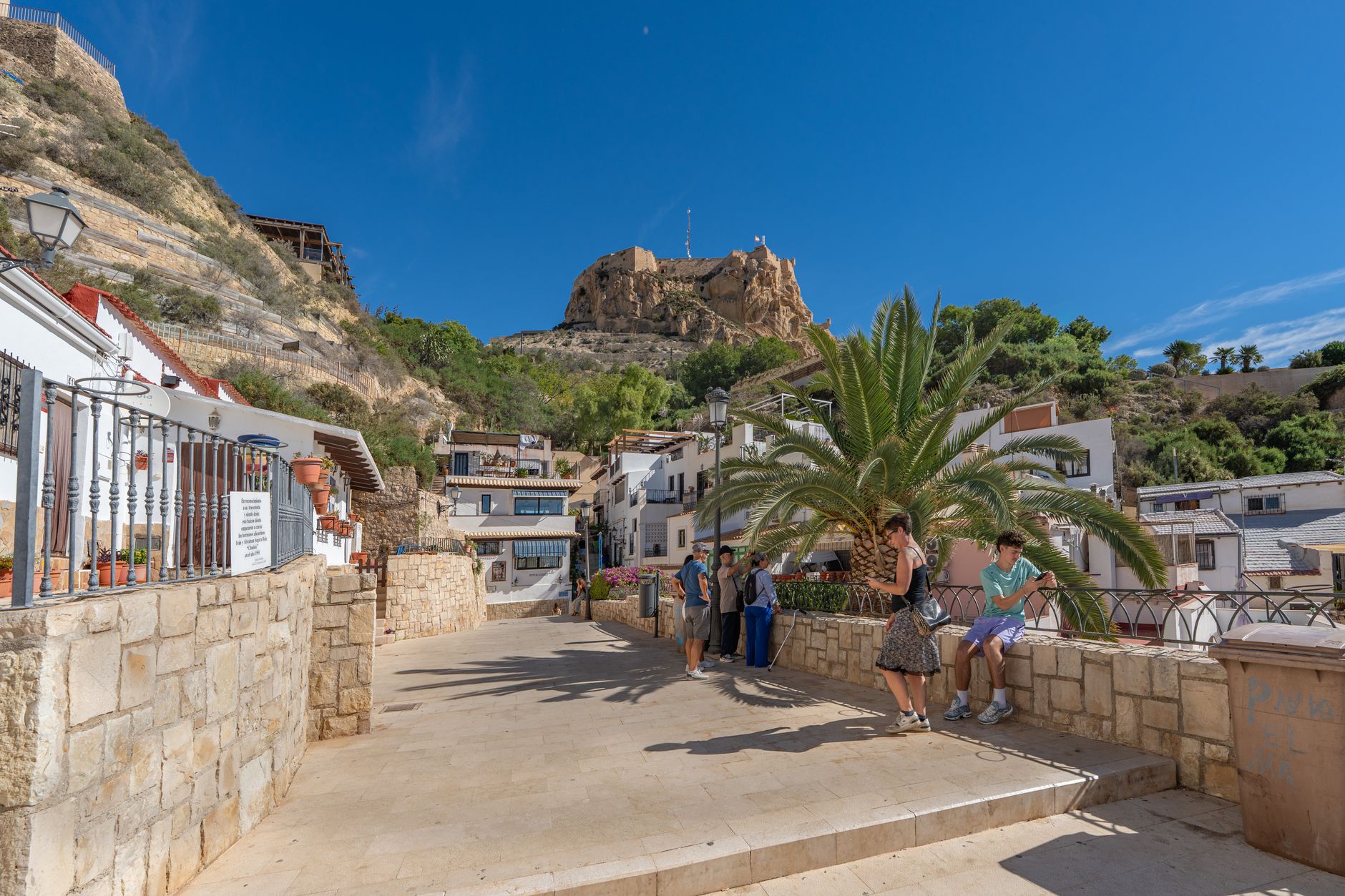
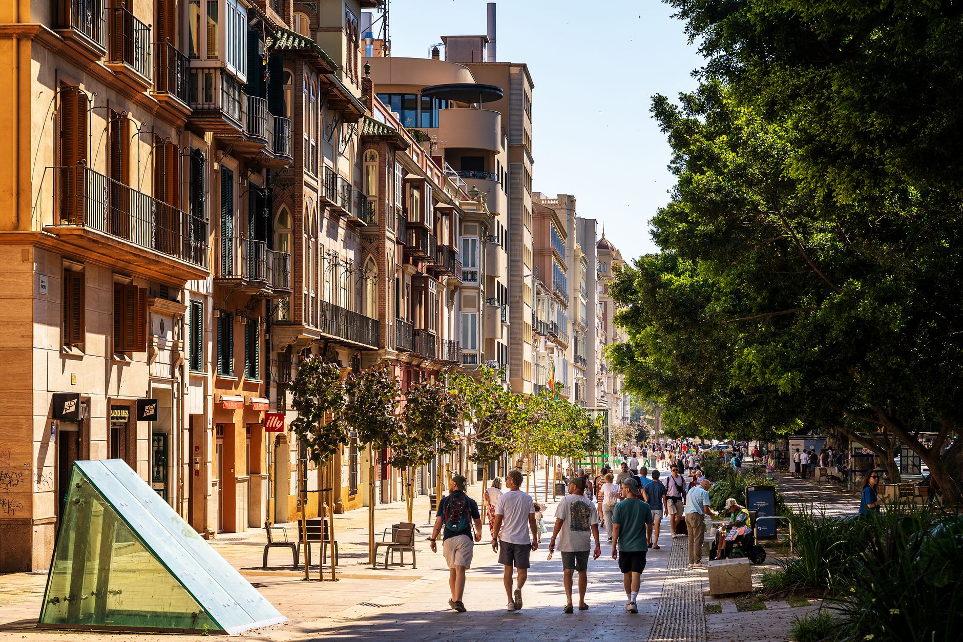
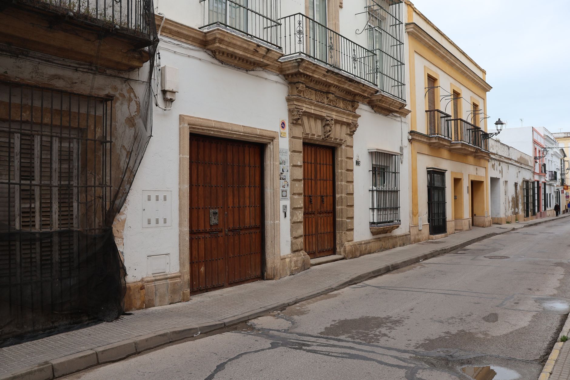
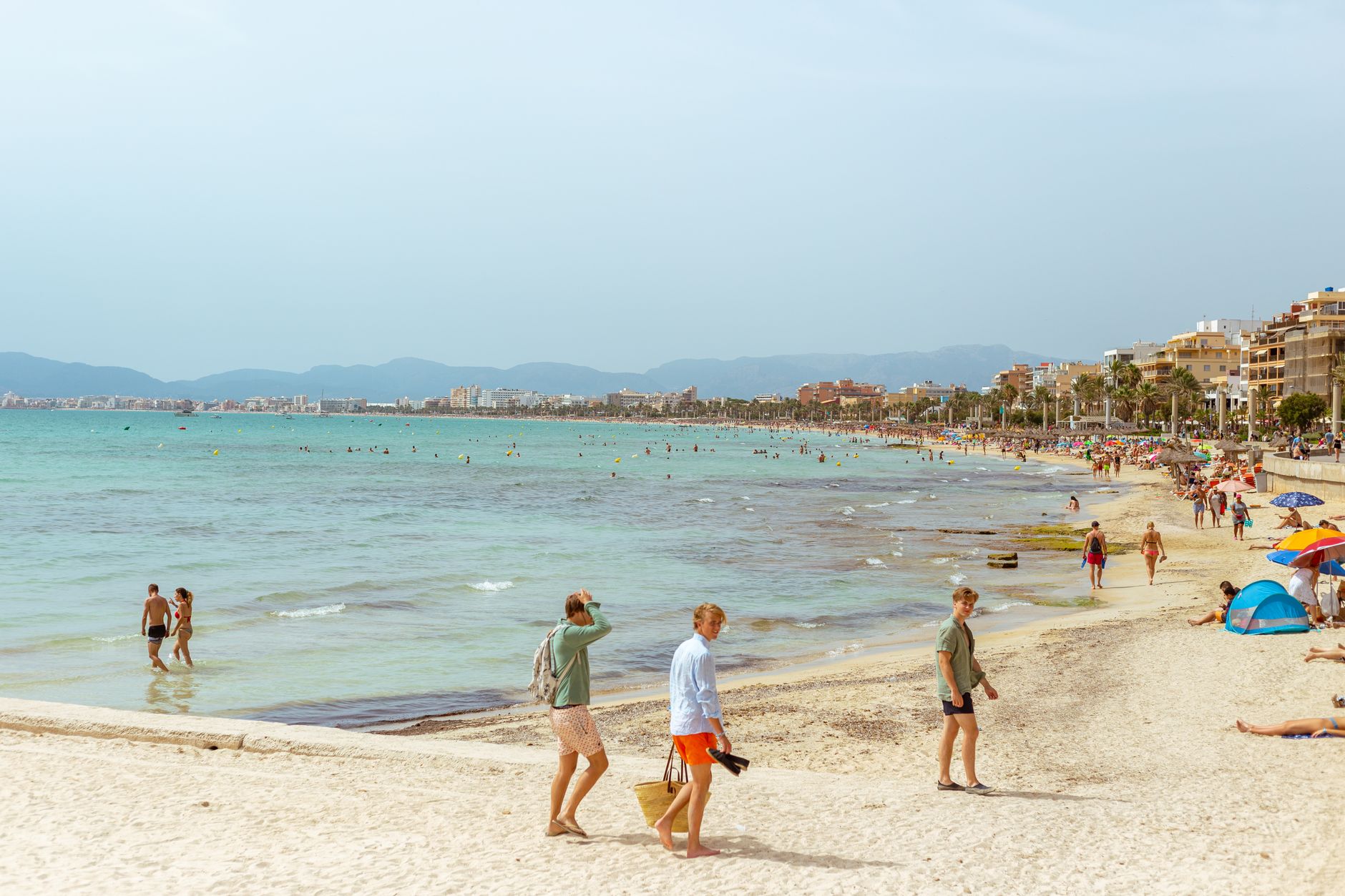
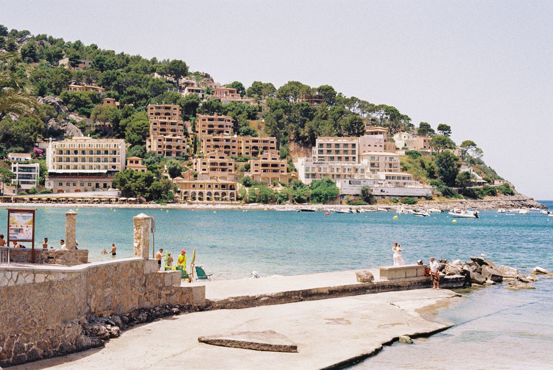
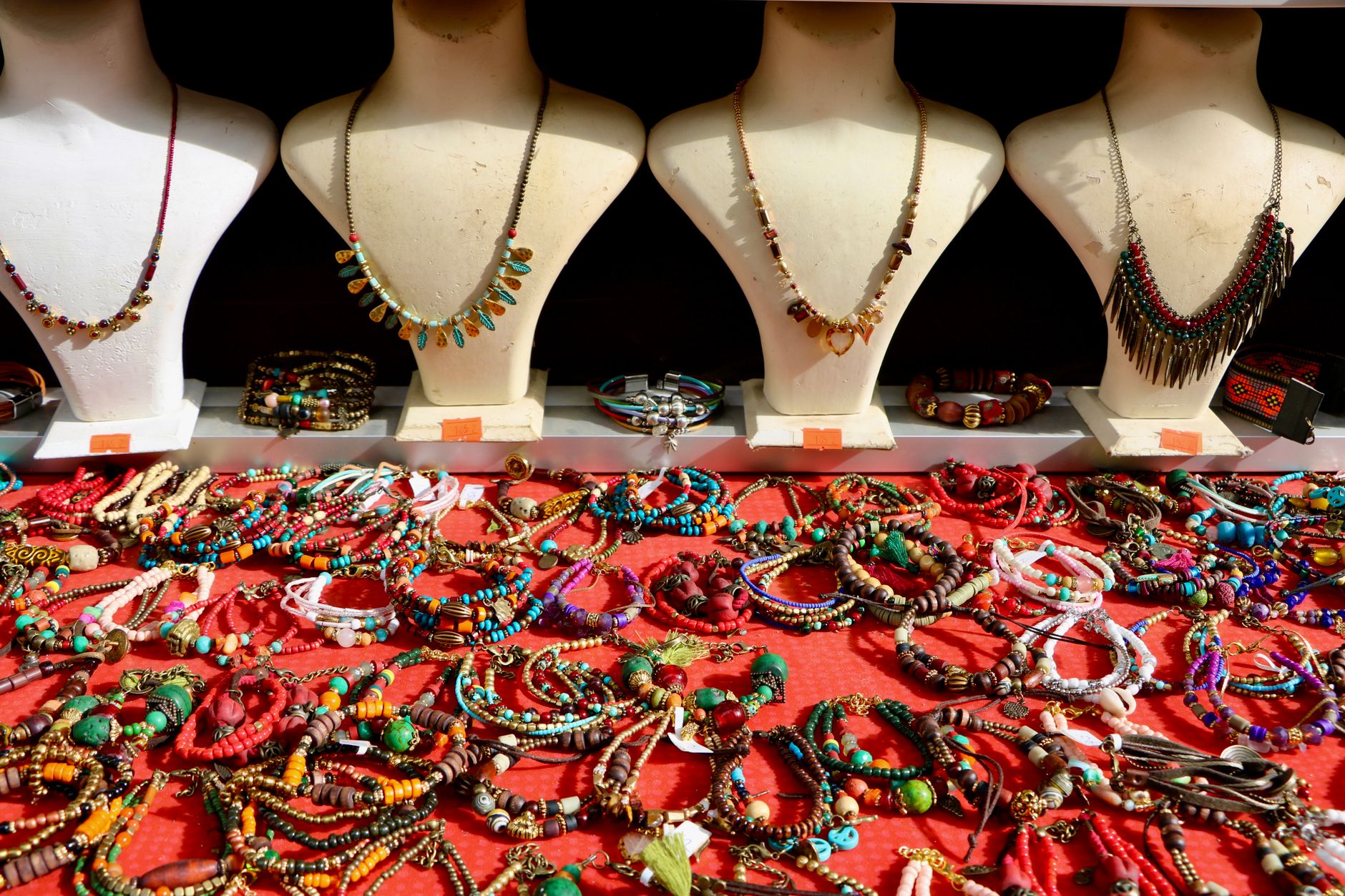
The only river in the Balearic Islands runs through Santa Eulària des Riu, and the town takes its name from it — a modest distinction that quietly sets this place apart from every other settlement on Ibiza. Walk the Paseo de S'Alamera on a summer evening and you'll pass market stalls selling tie-dye and hammered silver, then turn a corner and find yourself looking up at a whitewashed church on a hill that has been fortified against pirates since 1568.
This is the calmer, more residential side of Ibiza — a working marina with berths for 763 boats, a grid of streets that dates to the early 19th century, and a town hall built in 1795 that still does its job.
💛 What travellers fall for
People who come back tend to make the same pilgrimage: up Puig de Missa before the heat sets in, a slow look around the Ethnographic Museum at Can Ros next door, then down to the marina for lunch. The Paseo de S'Alamera in the evening, they'll tell you, is worth more than any beach club.
Experiences you don't want to miss


Deals in Santa Eulària des Riu
Book directly at the provider


How Santa Eulària des Riu came to be
The territory was called Xarc — Arabic for 'east' — under Moorish rule, a name the Catalans carried forward after conquering the island for the Crown of Aragon in the 13th century. It became the Quartó del Rei, the King's Quarter, before the name gradually gave way to Santa Eulària des Riu, borrowed from the first church built beside the river — a building later destroyed in one of the pirate raids that kept coastal communities on edge until the 17th century.
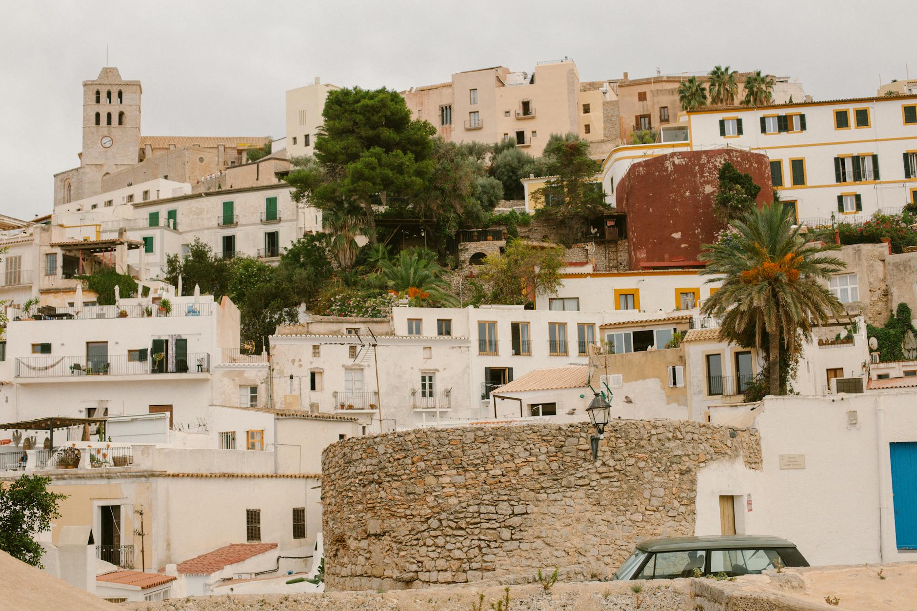
The present church on Puig de Missa dates to 1568. Military designer Giovanni Calvi fortified it with a solid rounded bastion modelled on the island's watchtowers, though unlike those towers it has no internal guardrooms. The town itself — the grid of streets, the town hall on Paseo de S'Alamera — wasn't laid out until the early 19th century. A century and a half later, artists, designers and what the records call 'disenchanted businessmen' began settling in the surrounding villages, quietly changing the character of the whole municipality.
Who and what shaped it
People who shaped it
Landmark buildings
See Santa Eulària des Riu in motion
Plan your visit
On the map
When to go
Summers are hot and dry, with long days that cool slowly after dark. Spring and autumn bring milder temperatures and softer light — genuinely good walking weather. Winters are mild by northern European standards but quiet, with some businesses closing between November and March.
Right now
Background & history adapted from Wikipedia (CC BY-SA) · specs from Wikidata (CC0) · weather from Open-Meteo · map data © OpenStreetMap contributors · photos from Wikimedia Commons / Unsplash with per-image credit. No third-party reviews or social posts reproduced.