
Sankt Andreasberg
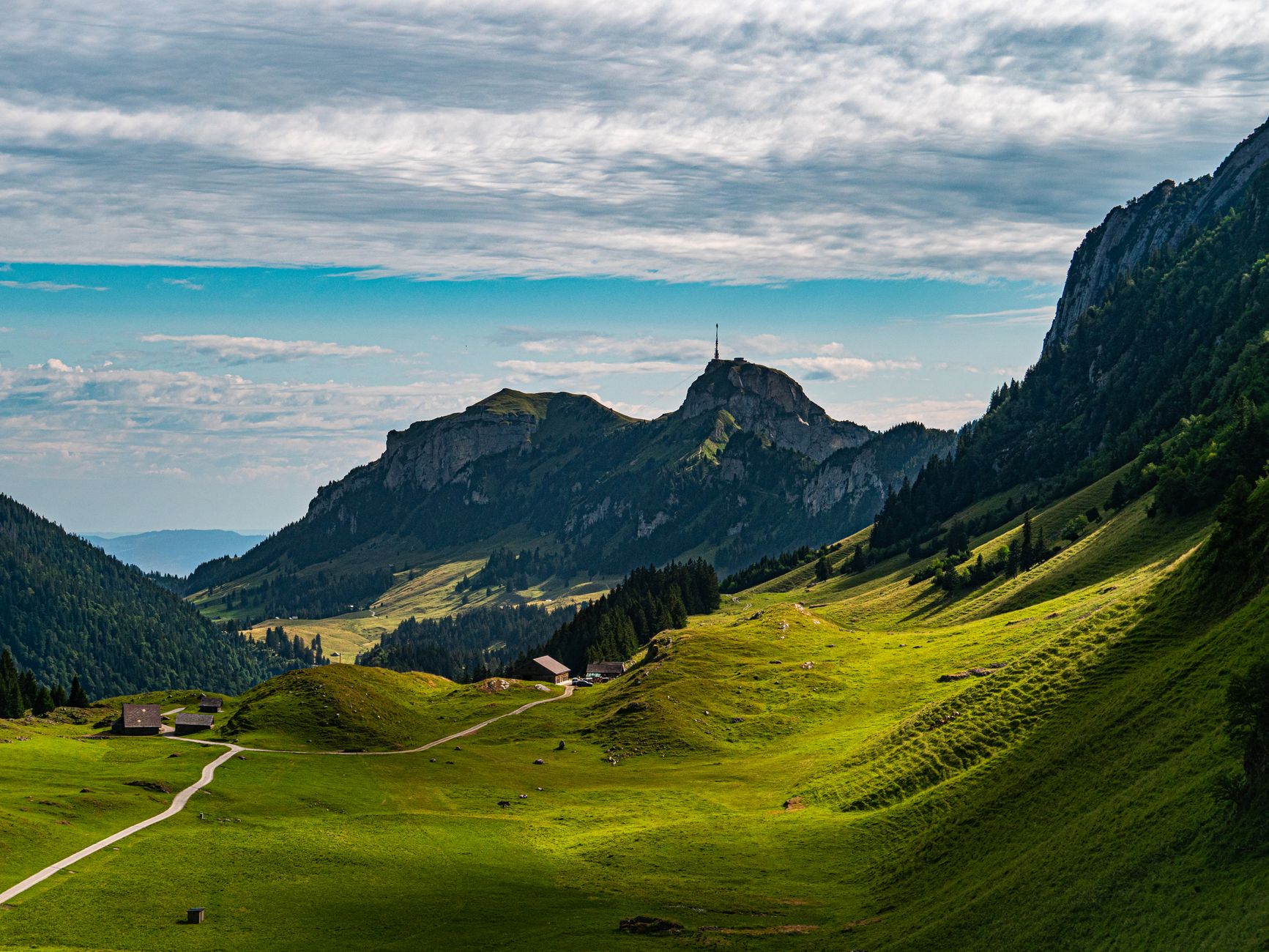
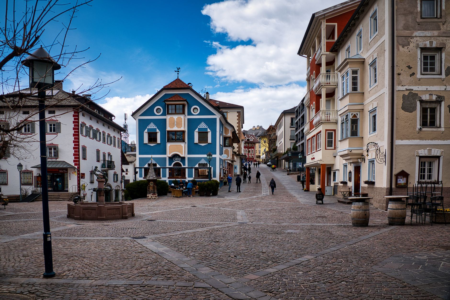
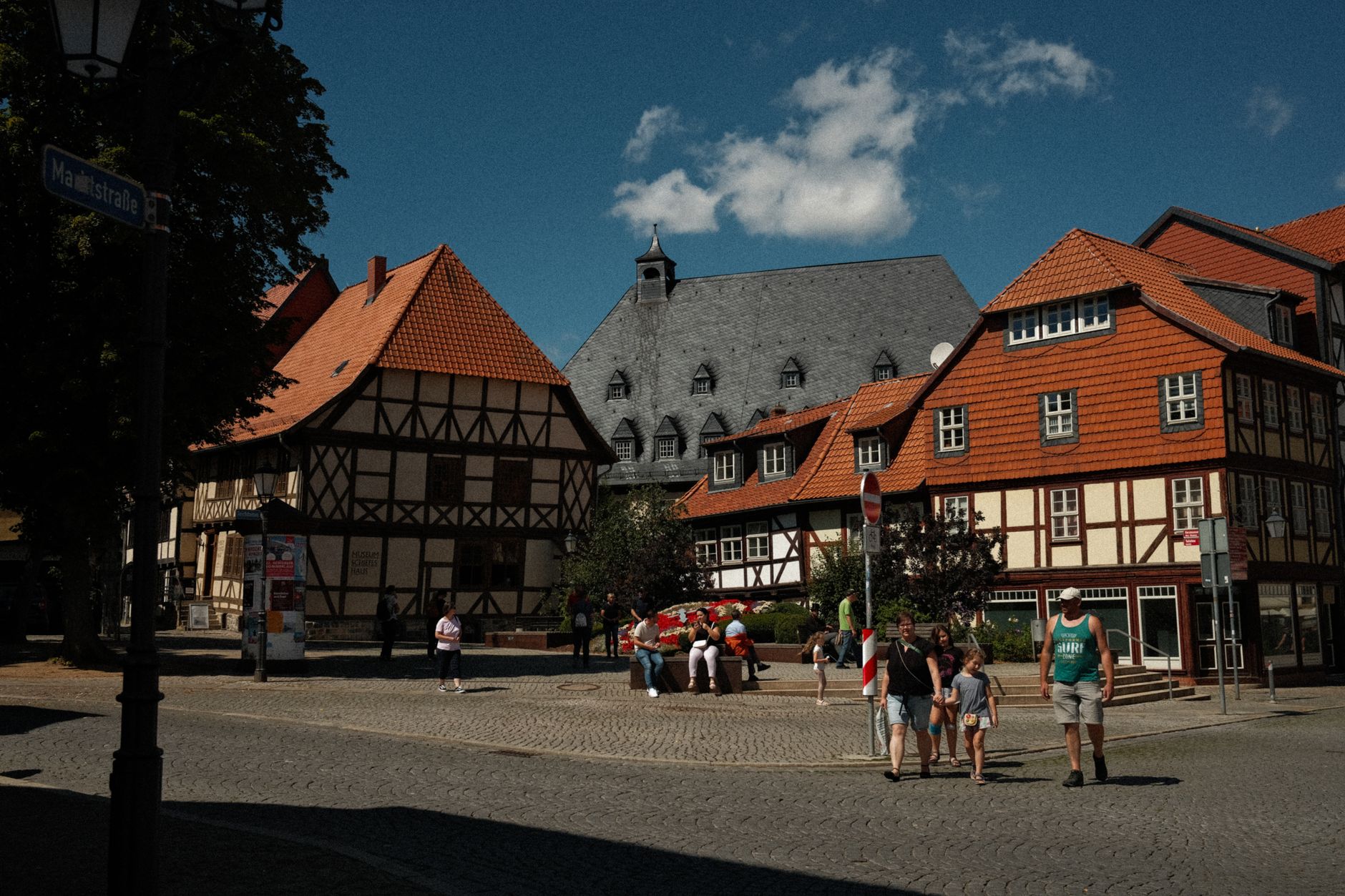
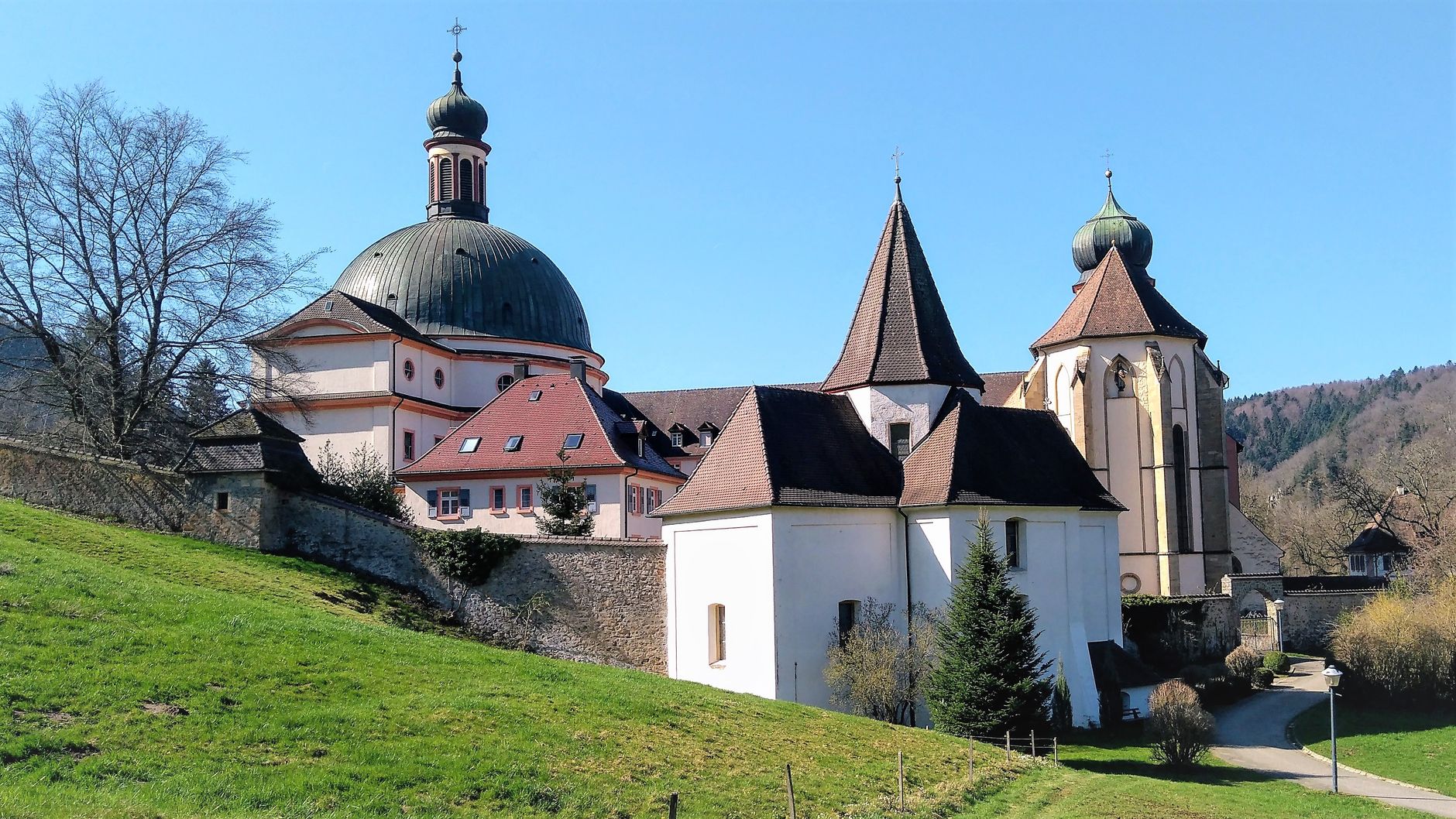
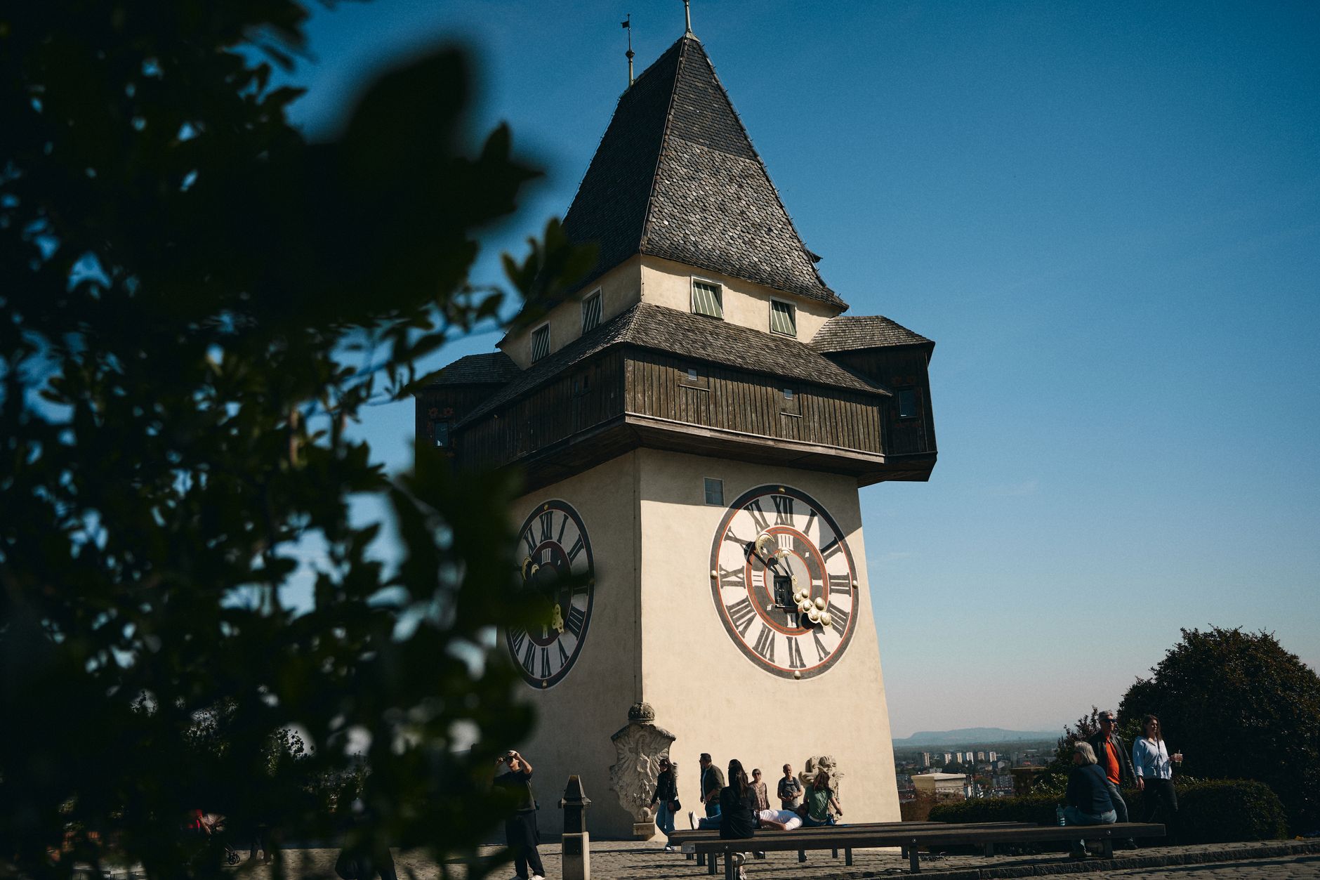

Sankt Andreasberg sits at around 580 metres in the Upper Harz, steep enough that its streets can stop you mid-stride. The colourful wooden houses climb the hillside in tight rows, and the yellow bell tower on Glockenberg has oriented people here since 1835. What shaped the town, though, is underground: silver ore, pulled from shafts for nearly four centuries, and the extraordinary water-management system the miners built to keep the pumps running.
The Samson Mine shaft drops 810 metres into the mountain. You can descend to 190, past a man engine installed in 1837 and two waterwheels — one nine metres across, one twelve — that still turn. Above ground, the same network of channels that once powered the mines now supplies around ninety percent of the town's electricity.
💛 What travellers fall for
People who come back tend to time a visit around the Samson Mine tour rather than treat it as an afterthought. The Harzer Roller Canary Museum inside is smaller than you'd expect and stranger than you'd imagine — miners bred these birds for centuries as a second income, and the singing tradition persisted long after the ore ran out.
Deals in Sankt Andreasberg
Book directly at the provider


How Sankt Andreasberg came to be
The town was first recorded on 3 November 1487, in a letter from Count Heinrich zu Stolberg to Dietrich von Witzleben. The founding mines — the St. Andreaskreuz at the foot of Beerberg and the St. Andreas by the market — established the template: a settlement organised entirely around ore extraction. In 1521, the Counts Heinrich and Ernst von Hohenstein formalised mining rights.
To keep water out of the shafts, engineers from the sixteenth century onward built the Upper Harz Water Regale — a system of reservoirs and channels that became a UNESCO World Heritage Site in 2010. The Oderteich reservoir, completed in 1722, was part of it. The Samson Mine closed in 1910. By then, Sankt Andreasberg had already been a designated spa town for forty-four years, and its miners had long been supplementing their income by breeding canaries.
Who and what shaped it
People who shaped it
Landmark buildings
See Sankt Andreasberg in motion
Plan your visit
On the map
When to go
Temperatures run four to five degrees cooler than the lowlands year-round, averaging just 7.6°C annually and dipping to around −1.1°C in January. Snow cover through winter is reliable at this elevation; summers are mild, with July averaging 16.4°C, though rainfall peaks in those months.
Right now
Background & history adapted from Wikipedia (CC BY-SA) · specs from Wikidata (CC0) · weather from Open-Meteo · map data © OpenStreetMap contributors · photos from Wikimedia Commons / Unsplash with per-image credit. No third-party reviews or social posts reproduced.