
Sai Kung
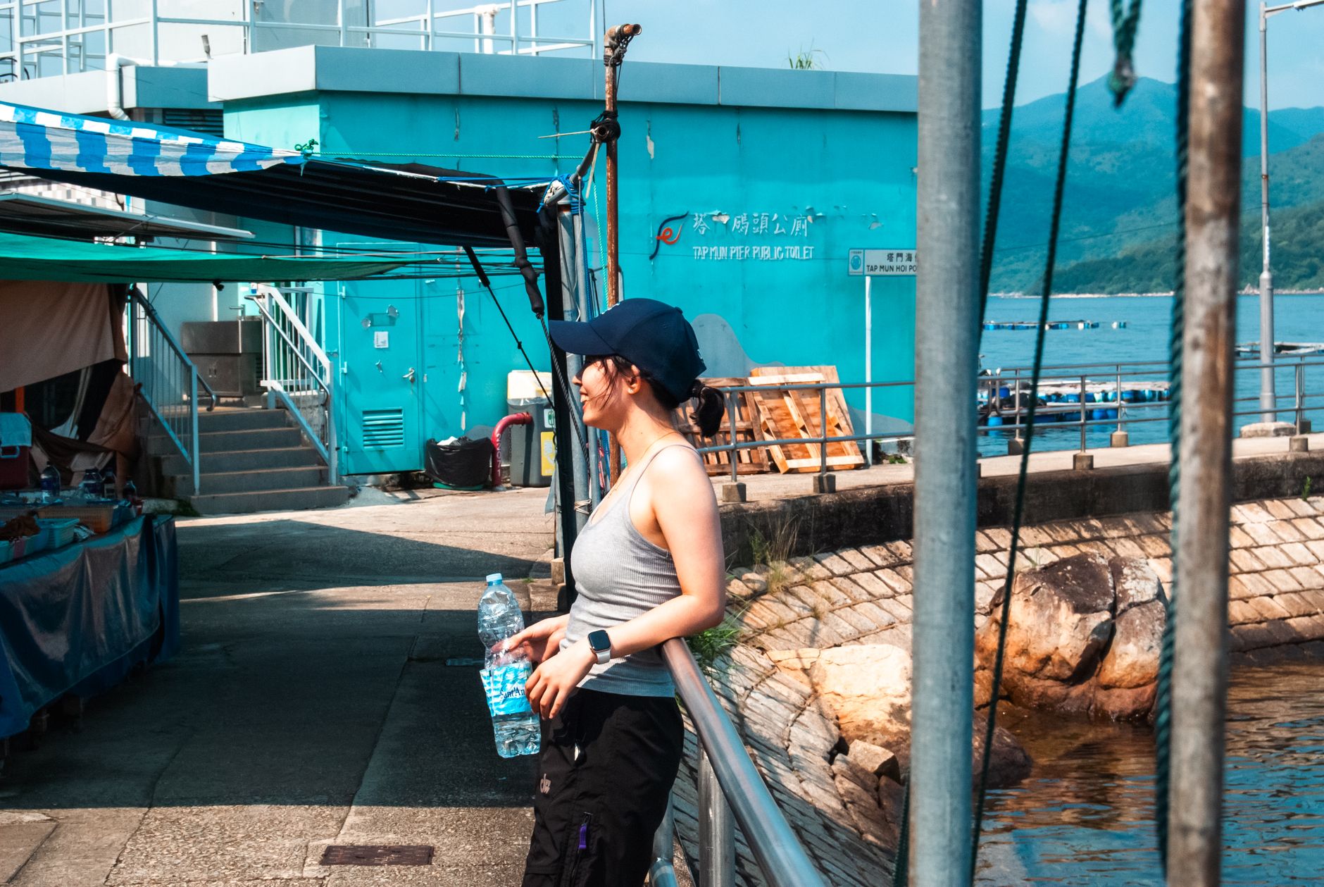
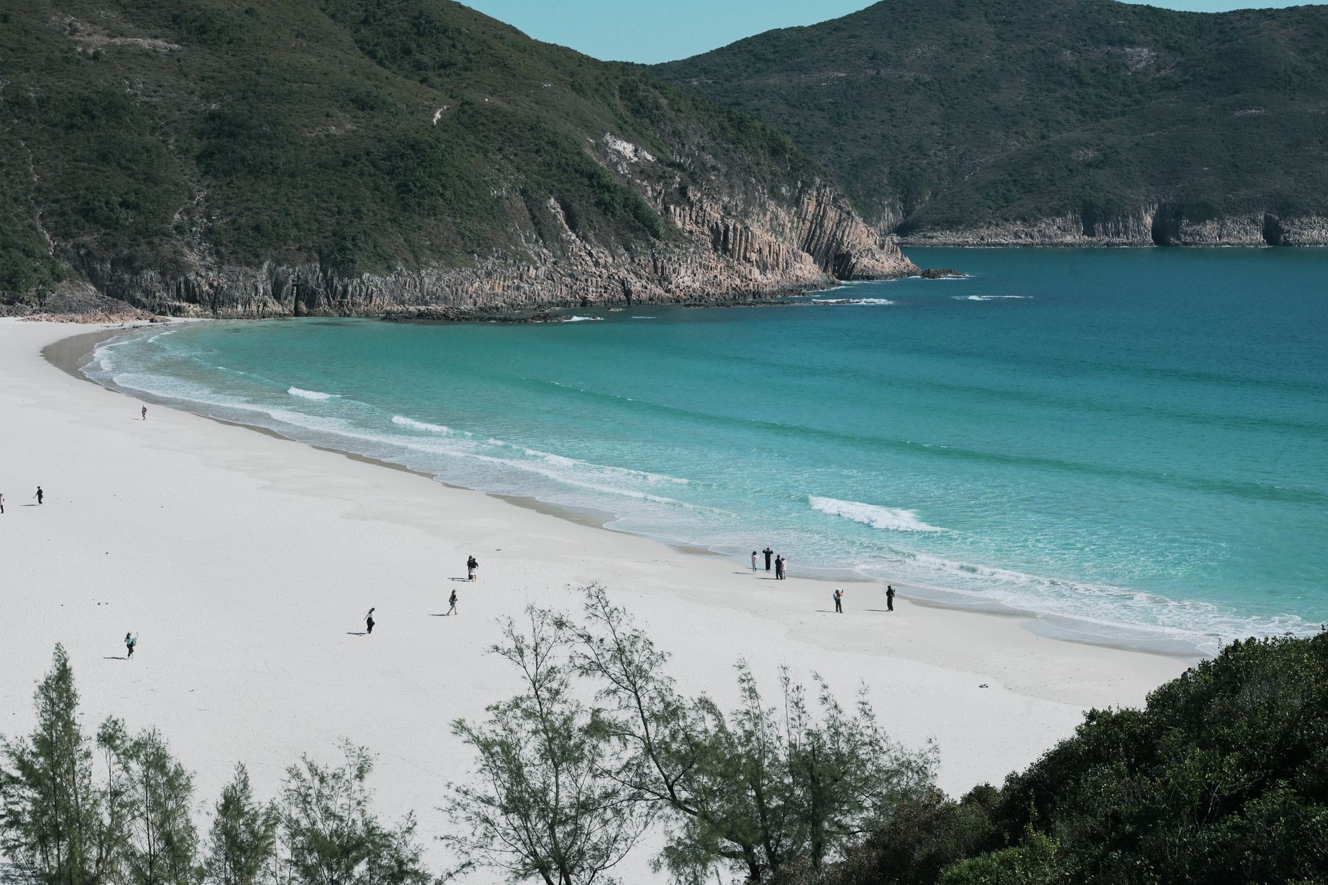
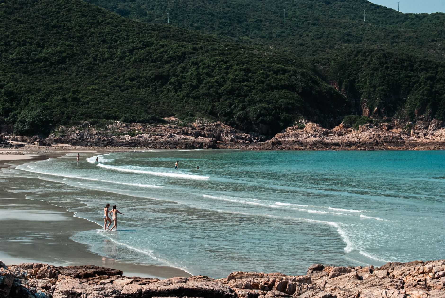
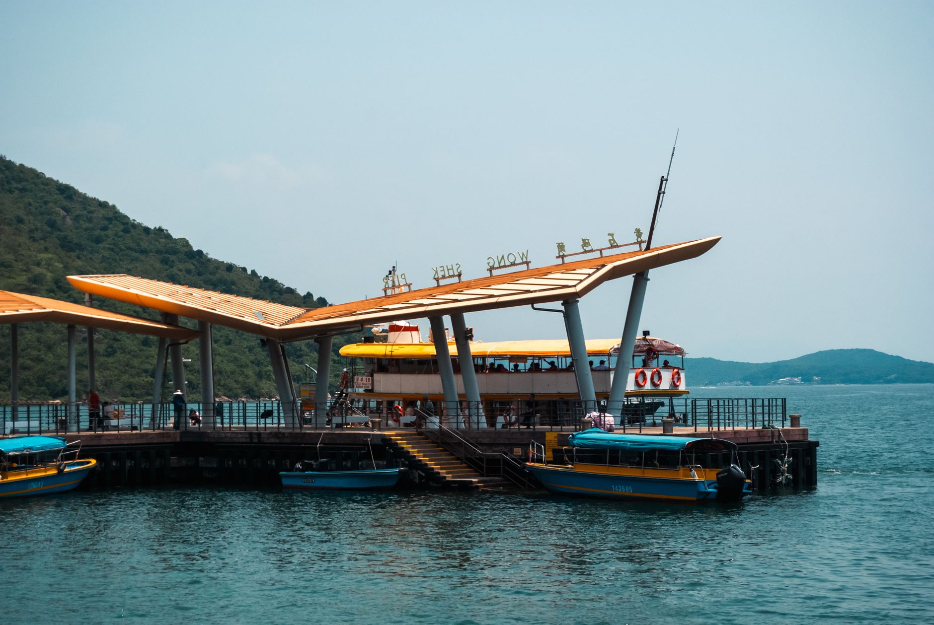
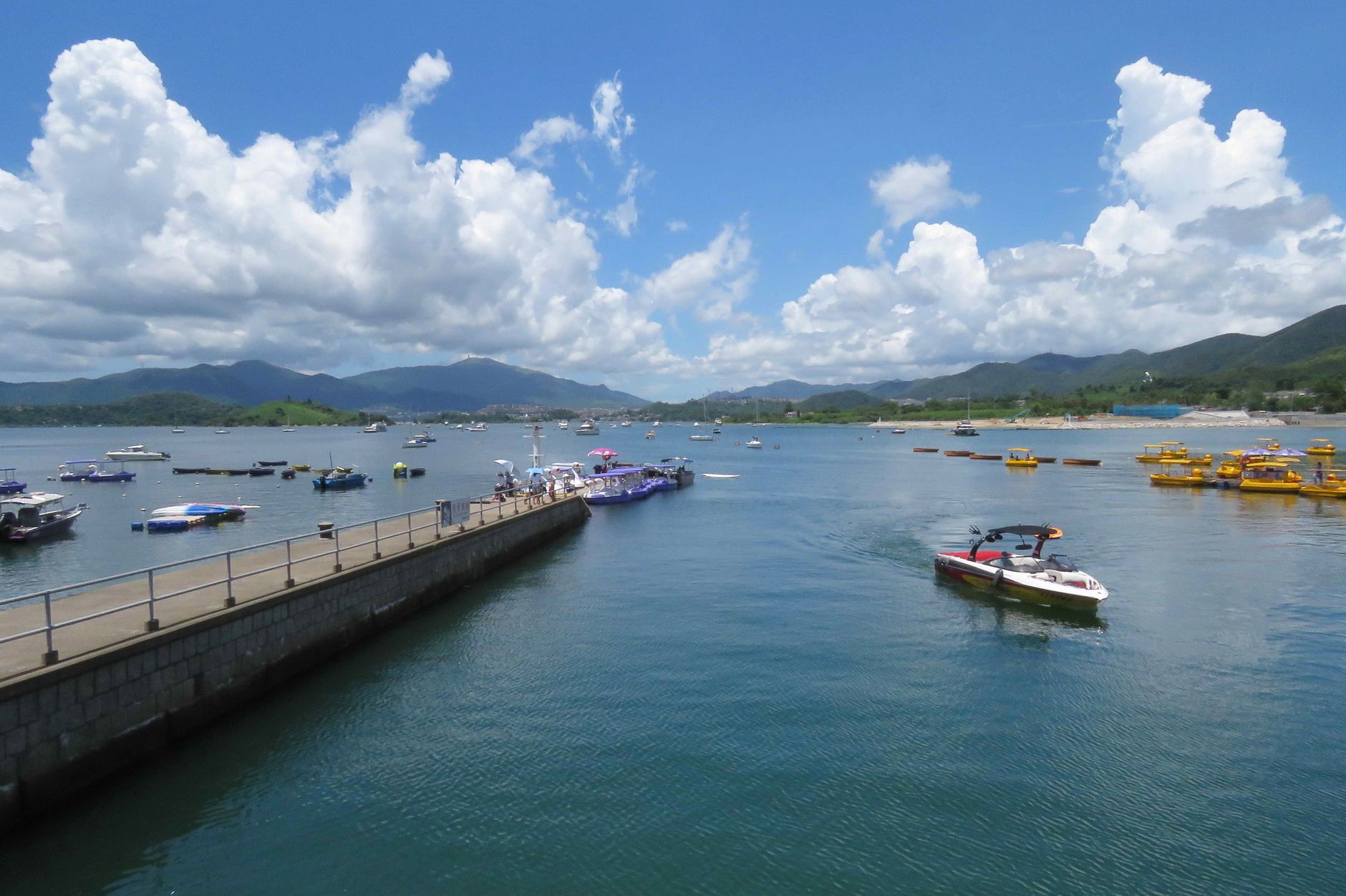
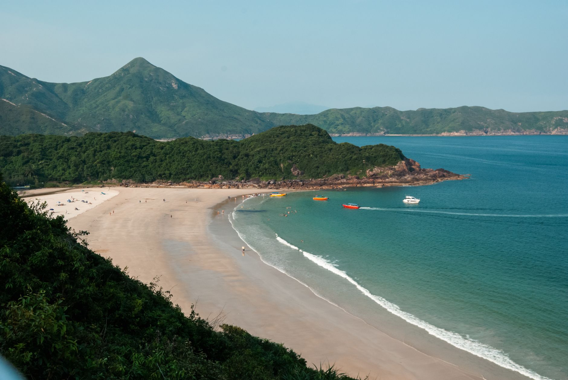
At the waterfront in Sai Kung Town, the morning catch gets laid out on ice while sampan drivers call across the water, offering to take you somewhere quieter. This is the eastern edge of Hong Kong's New Territories — no MTR, no skyscrapers, just a working pier, a row of seafood tanks, and behind it all, one of the largest networks of country parks on the territory.
Sai Kung is where Hongkongers come when they want to remember what the land looks like. The peninsula holds ancient hexagonal volcanic columns rising from the sea, a 100-kilometre trail, and temple-dotted islands reachable only by kaito ferry.
💛 What travellers fall for
Regulars will tell you to take minibus 1A from Choi Hung Exit C2 — it runs constantly and drops you at the pier. Get the seafood early, before the lunch crowds. And if you're heading to Yim Tin Tsai to see St Joseph's Chapel, check the last ferry time before you go, not after.
Deals in Sai Kung
Book directly at the provider

How Sai Kung came to be
The name Sai Kung — 西貢, Western Tribute — traces back to the Ming Dynasty, when merchant ships bearing gifts for the imperial court anchored in the harbour here. Fishing communities had been living on boats in the sheltered inlets since around the 14th century, eventually coming ashore to found coastal villages and build temples to Tin Hau and Hung Shing. By the early 1900s the market town had grown to fifty shops and four boat-builders' sheds.
The modern shape of Sai Kung town came largely from upheaval: the construction of High Island Reservoir between 1971 and 1979 displaced villagers and fishermen, triggering government-funded residential development and the expansion of Tui Min Hoi. The district was formally constituted in 1982. Stone tools excavated at Wong Tei Tung beside Three Fathoms Cove push the human story here back far further — into the Upper Paleolithic.
Who and what shaped it
People who shaped it
Landmark buildings
See Sai Kung in motion
Plan your visit
On the map
When to go
October through December brings clear skies and low humidity — the best conditions for the MacLehose Trail or a day on the islands. Summer (June–September) is hot, wet and typhoon-prone; coastal hiking in that heat demands early starts and plenty of water.
Right now
Background & history adapted from Wikipedia (CC BY-SA) · specs from Wikidata (CC0) · weather from Open-Meteo · map data © OpenStreetMap contributors · photos from Wikimedia Commons / Unsplash with per-image credit. No third-party reviews or social posts reproduced.