
Sagres
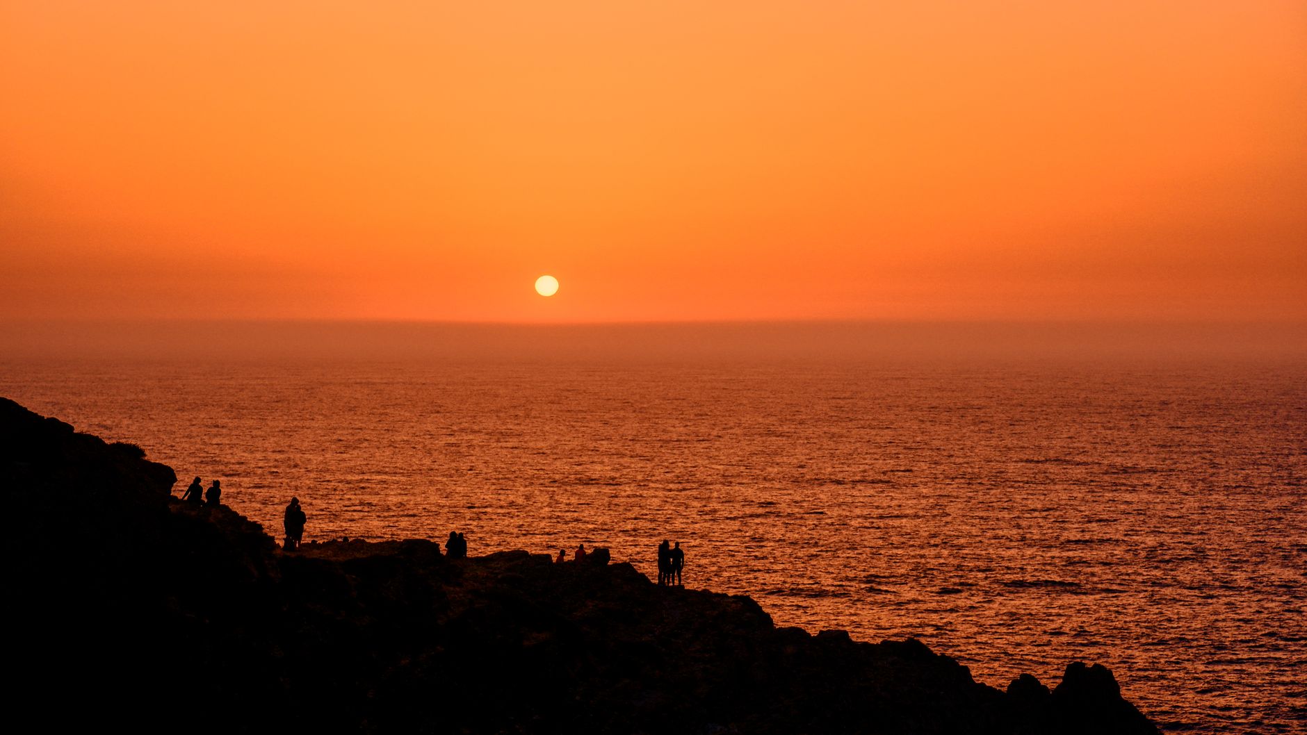
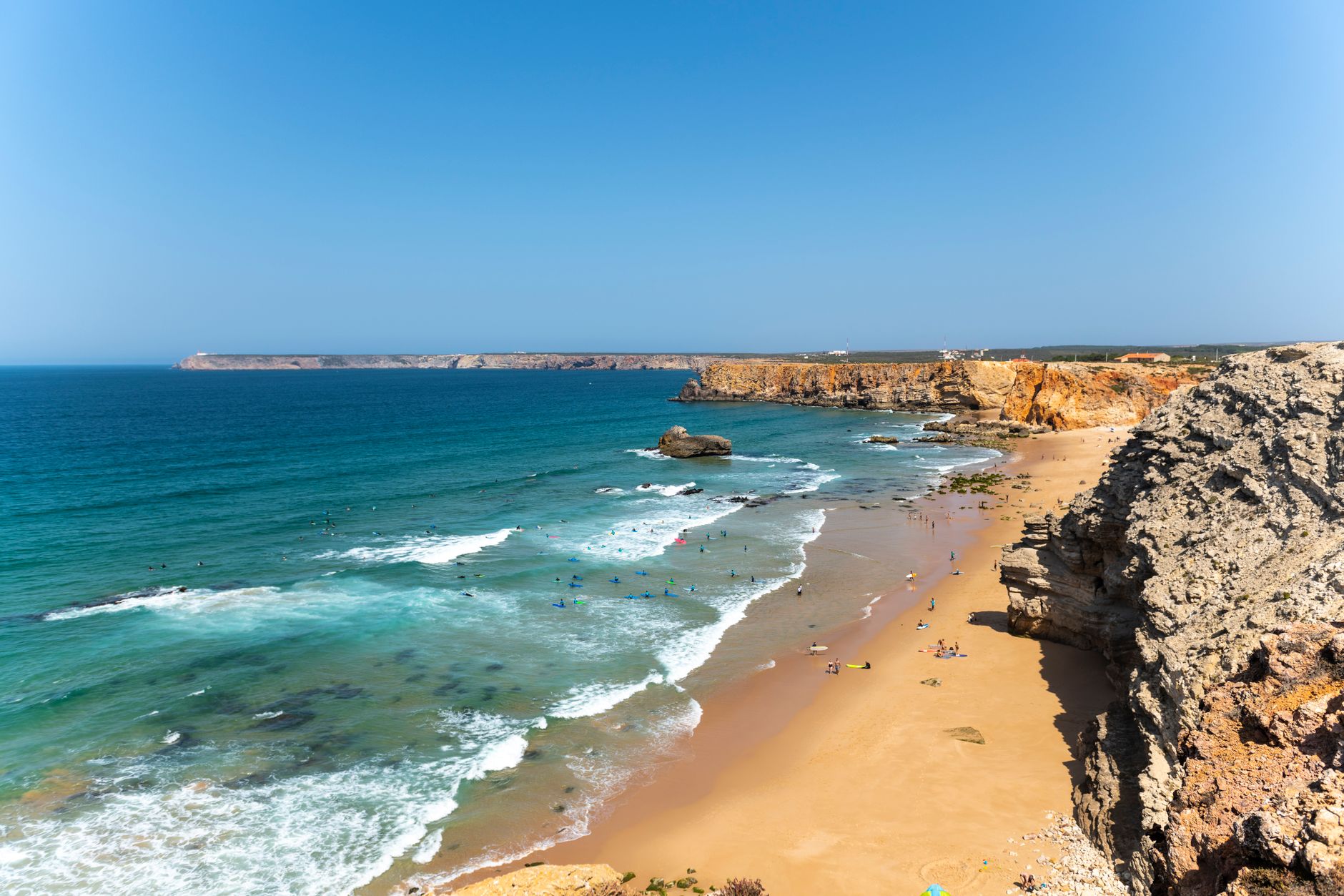
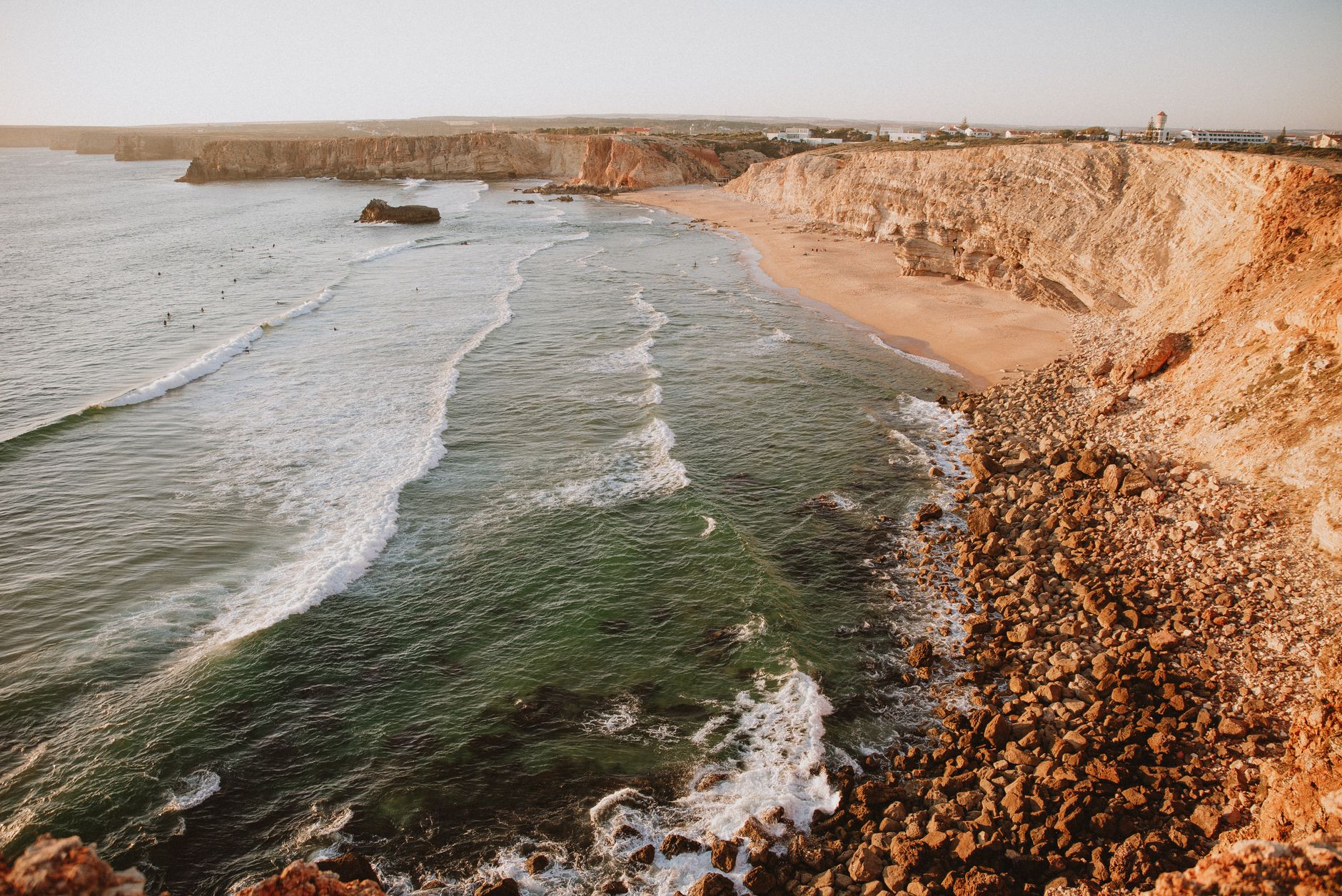
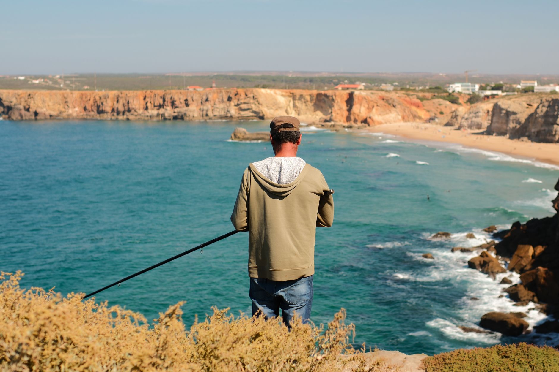
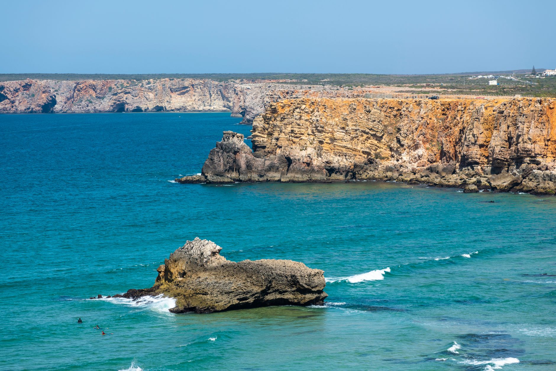
Sagres sits at the southwestern tip of Europe, where the Atlantic stops being a backdrop and becomes the whole point. The wind here is constant and salt-heavy, and the light at Cabo de São Vicente — where a lighthouse built in 1846 still throws a beam sixty kilometres out to sea — has a quality that makes everything feel unambiguous. This is land's end in the most literal sense, and the town organises itself around that fact quietly, without fuss.
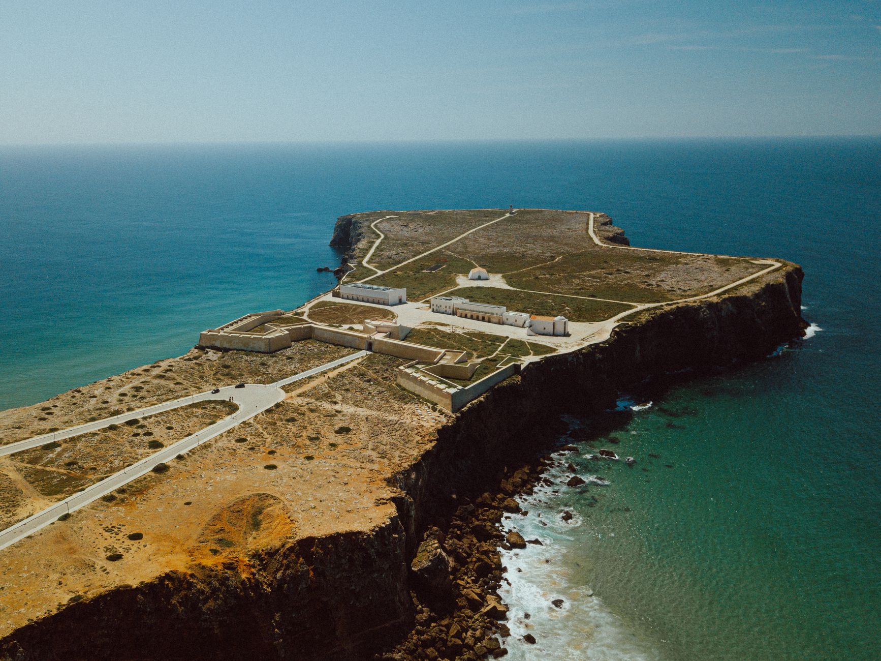
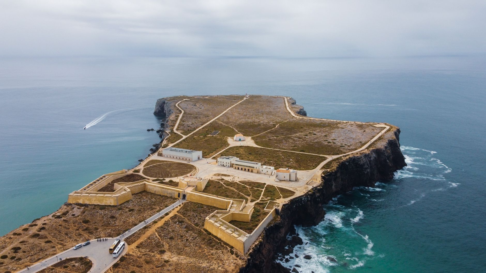
The fortress on Ponta de Sagres, first built in 1453, anchors the promontory above vertical cliffs. Inside its walls, a 43-metre stone circle — unearthed in 1921, possibly a wind rose, possibly a sundial — sits in the open air and draws you to crouch and count its thirty-two spokes. The town behind it is small and unpretentious, which is part of why people keep coming back.
💛 What travellers fall for
Regulars will tell you to park free anywhere in town and walk to the fortress early, before the day-trippers arrive from Lagos. They'll also mention the Chapel of Nossa Senhora de Guadalupe — ten minutes northeast, Gothic, largely intact after the 1755 earthquake — as the quieter, stranger counterpoint to the big-ticket sites.
Deals in Sagres
Book directly at the provider
How Sagres came to be
The land around Sagres was donated to Infante Henry — Prince Henry the Navigator, born 1394 — on 27 October 1443, and he ordered a fortress built here in 1453 to hold this strategically exposed coast. The name itself derives from 'sagrado', holy, reflecting pre-Christian ritual significance the site already carried. Sagres became a parish in 1519, the same year the Church of Nossa Senhora da Graça was consecrated under King Manuel I.
The fortress did not survive intact. In May 1587, Francis Drake landed 800 men and attacked it. Rebuilt across the 16th, 17th, and 18th centuries, the current form dates to 1793. King Sebastian, the ill-fated young monarch, reportedly spent time on these cliffs listening to music — a chronicle places him at the nearby Convent of São Vicente do Cabo — before his disastrous campaign in Morocco.
Who and what shaped it
People who shaped it
Landmark buildings
See Sagres in motion
Plan your visit
On the map
When to go
Temperatures average around 19°C year-round, which sounds idyllic until you factor in the wind — persistent and Atlantic-cold even in July. Layers are useful in any season; summer evenings at the cape can feel more like October than August.
Right now
Background & history adapted from Wikipedia (CC BY-SA) · specs from Wikidata (CC0) · weather from Open-Meteo · map data © OpenStreetMap contributors · photos from Wikimedia Commons / Unsplash with per-image credit. No third-party reviews or social posts reproduced.