
Rose Hill
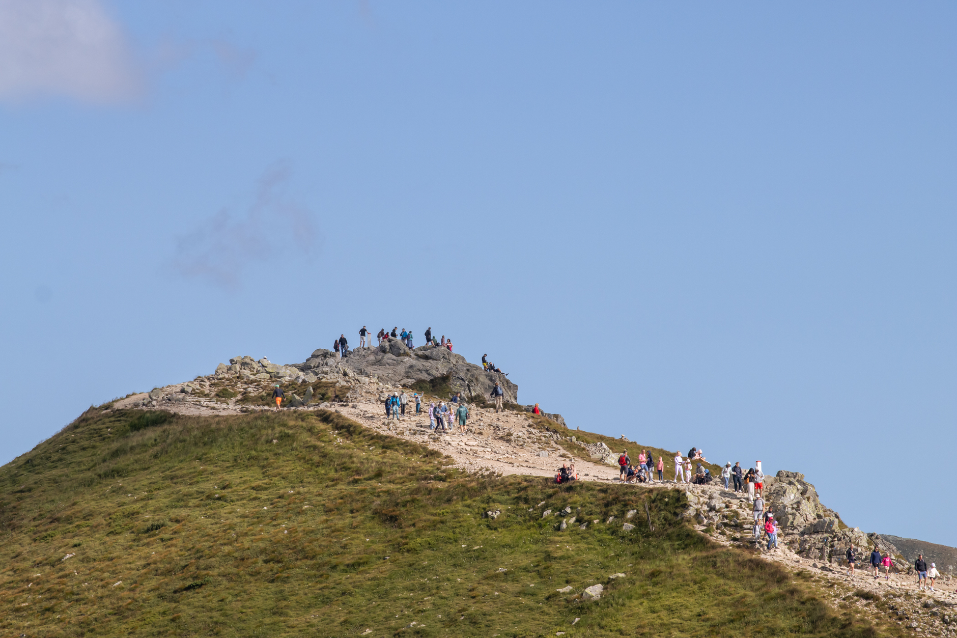

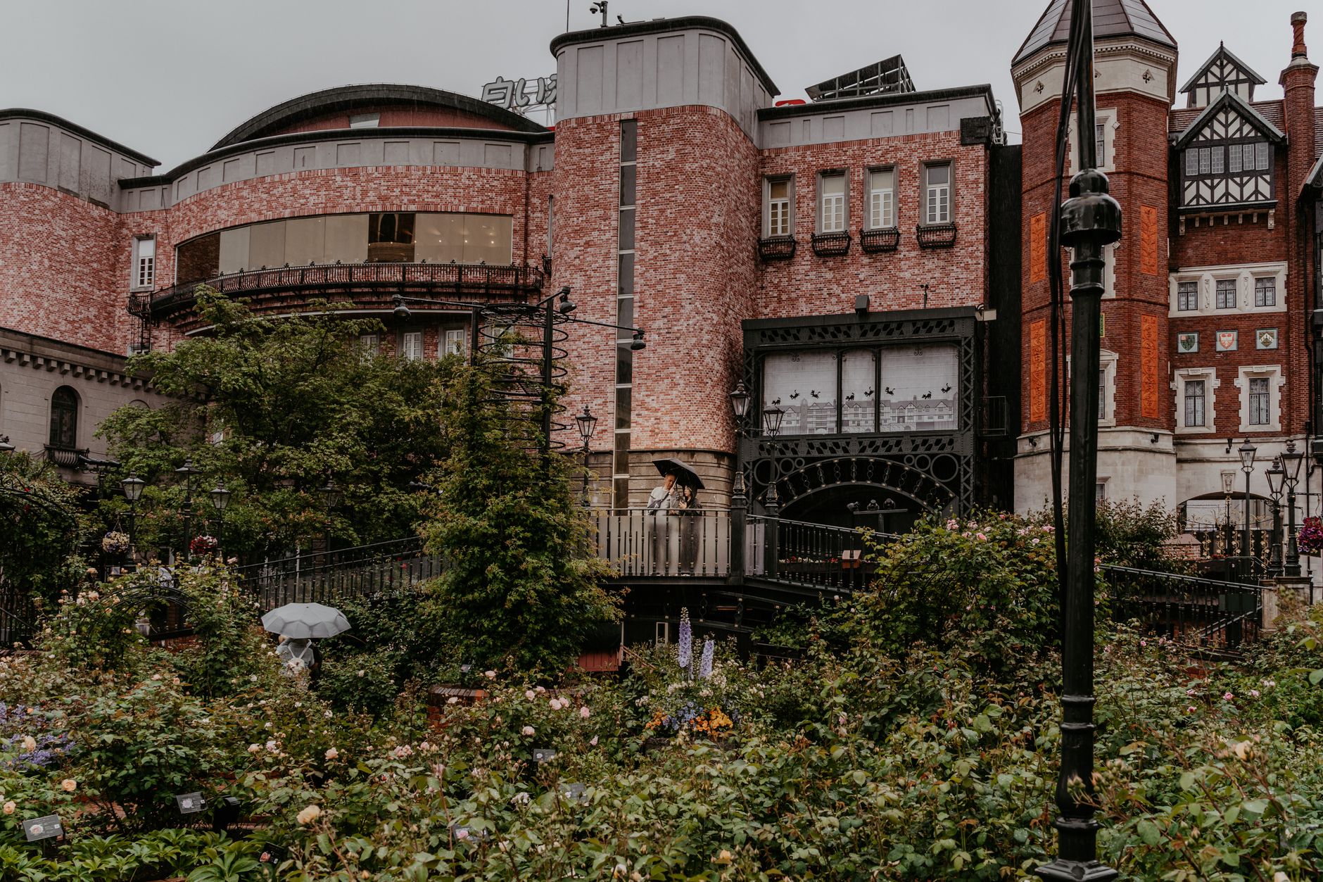
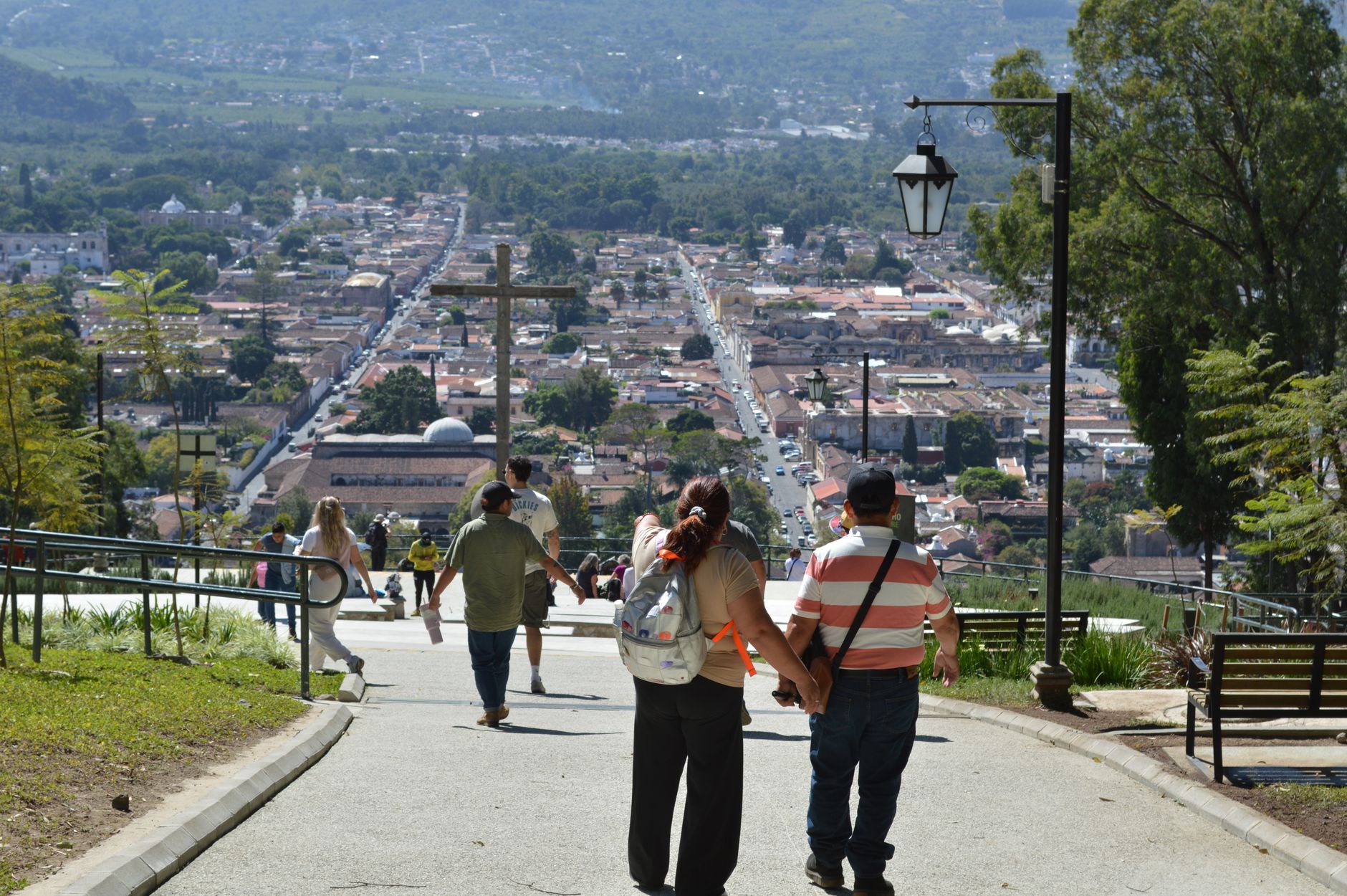


A stone at the foot of Rose Hill reads 'Ifily Hy Way 1635' — and that small carved fact anchors everything about this place. Rose Hill is a working residential neighbourhood on Oxford's southeastern edge, built in the late 1930s to rehouse families from the cleared slums of Jericho and St Ebbe's. Its streets have Georgian symmetry and half-timbered shop fronts from the 1940s, and at its centre sits the Oval, a wide circle of grass that gives the whole estate an unexpected openness.
Below the houses, Rivermead Nature Park slopes down through mixed woodland, fen and wet woodland to the Thames — leased from the University since 1990 and largely untroubled by visitors. The cemetery on the hill, opened in 1889, covers eleven acres and holds more than 20,000 burials beneath a Victorian chapel.
💛 What travellers fall for
People who come back tend to combine the same two things: a walk through Rivermead — particularly in autumn when the fen gets atmospheric — followed by a wander past the 1736 turnpike milestone outside number 37, one of the few physical traces of the old London–Henley–Oxford road still standing in situ.
Deals in Rose Hill
Book directly at the provider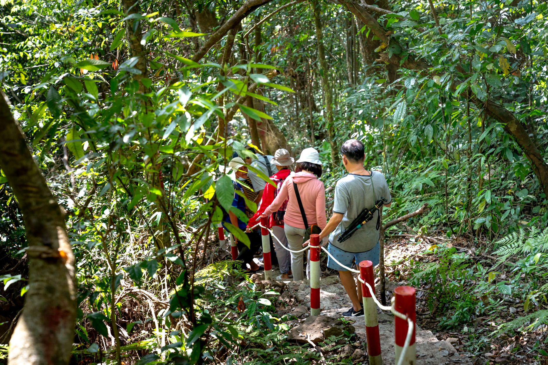


How Rose Hill came to be
The land around Rose Hill was first settled in the Early Iron Age, and Roman potters worked a site between here and Annesley Road; their finds are in the Ashmolean. For centuries the area was farmland, with a turnpike road to London passing through — the 1736 milestone outside number 37 marks that route still.
The neighbourhood as it stands today was largely the work of George C. Robb, Chief Housing Assistant to Oxford's City Engineer, who designed the estate between 1938 and 1941. The first homes went up in 1935–36 to house people displaced from inner-city slums; by 1937 a second estate was planned south of the first. The original community centre — a wooden structure costing £400, the first of its kind in the city — opened in July 1937. The current one, a £5 million brick building, was formally opened in 2016.
Who and what shaped it
People who shaped it
Landmark buildings
See Rose Hill in motion
Plan your visit
On the map
When to go
Oxford's climate applies here: mild and damp, with the best walking weather in April–May and September–October. The Rivermead woodland is worth visiting after rain, when the fen fills out, but the paths can be muddy; winters are grey and often wet.
Right now
Background & history adapted from Wikipedia (CC BY-SA) · specs from Wikidata (CC0) · weather from Open-Meteo · map data © OpenStreetMap contributors · photos from Wikimedia Commons / Unsplash with per-image credit. No third-party reviews or social posts reproduced.