
Ribadesella
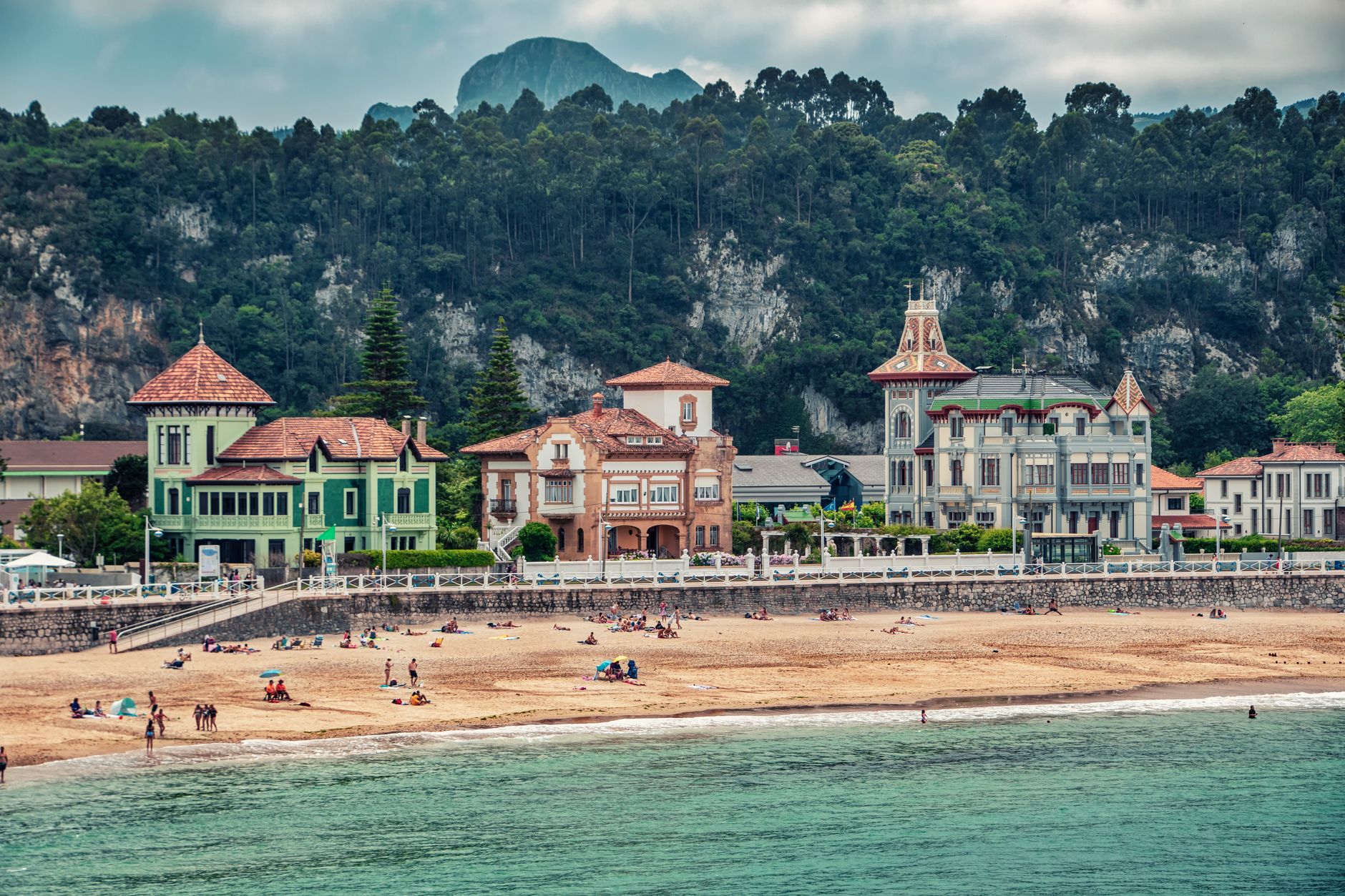
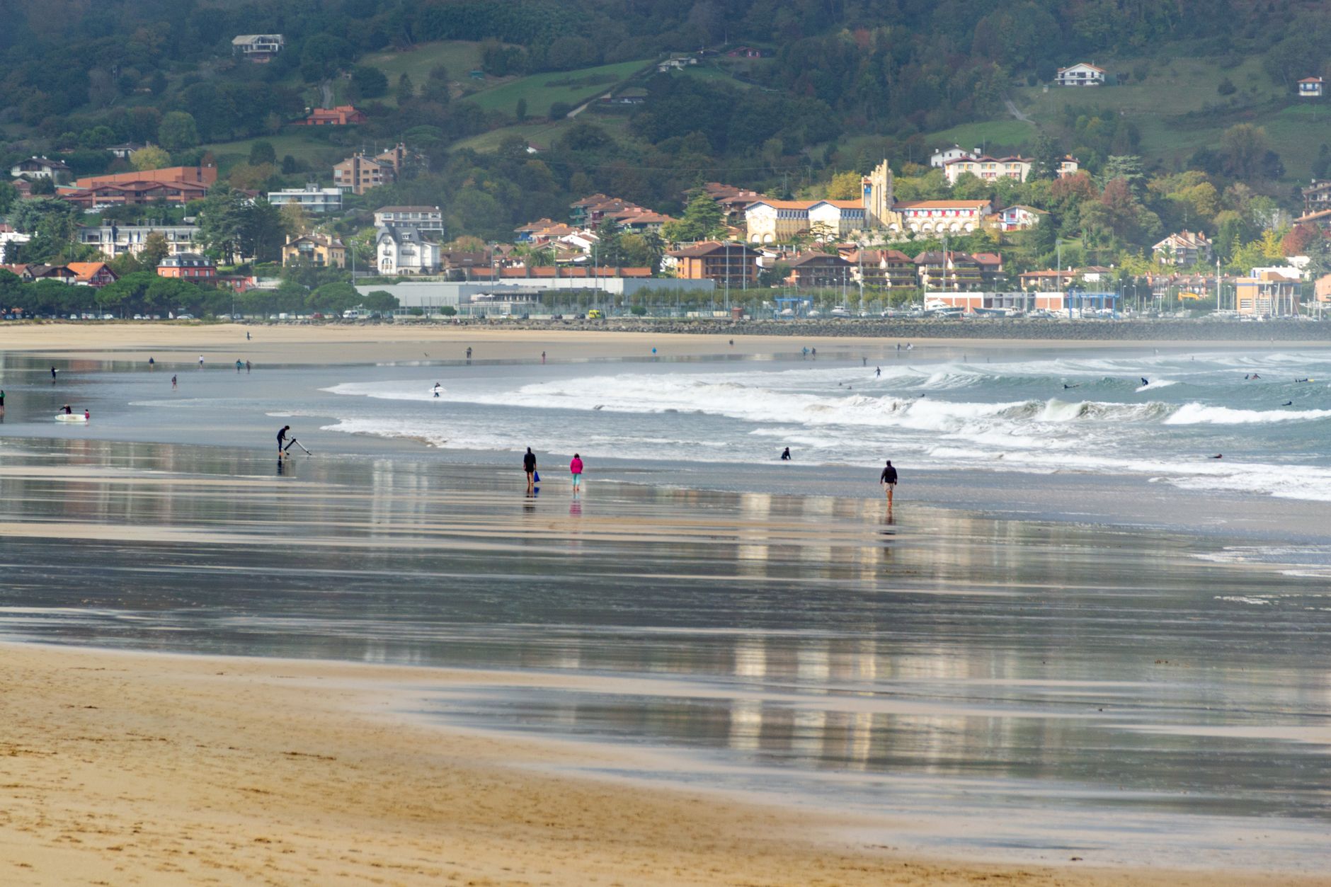
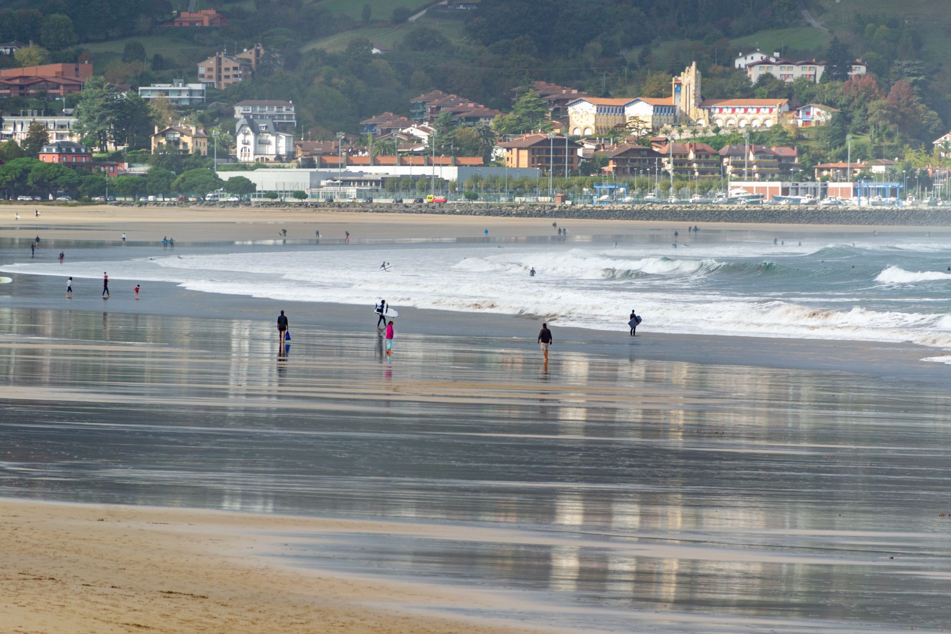
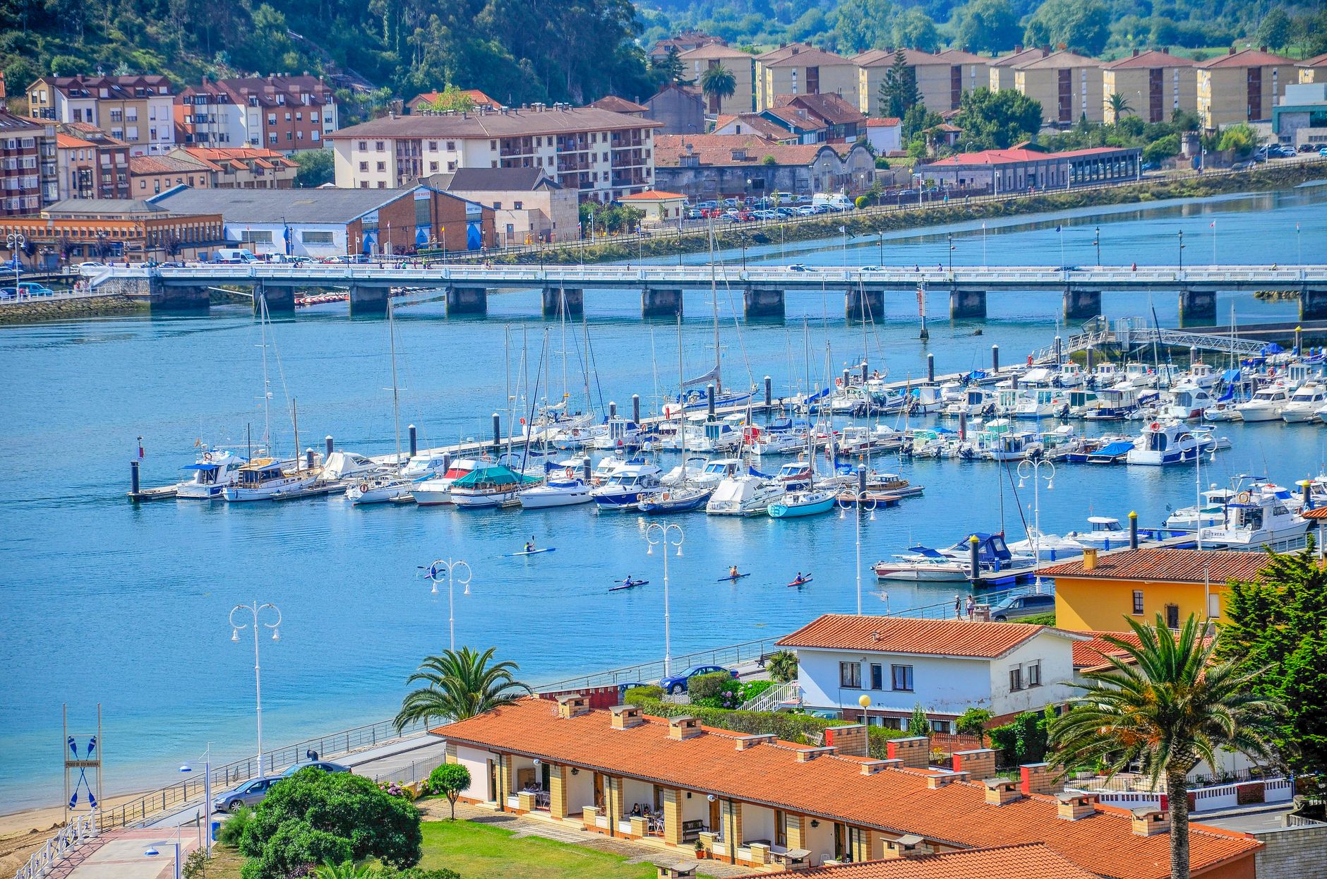
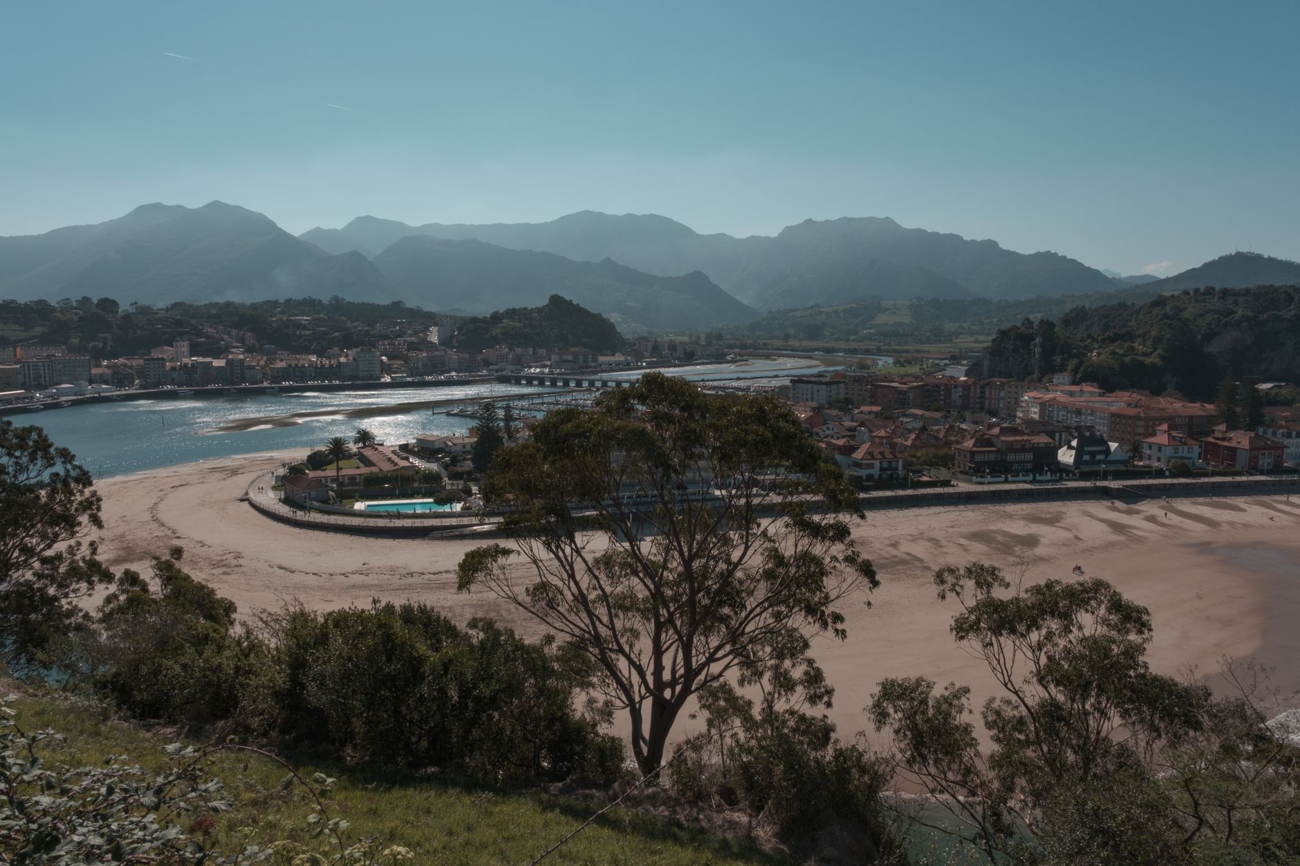
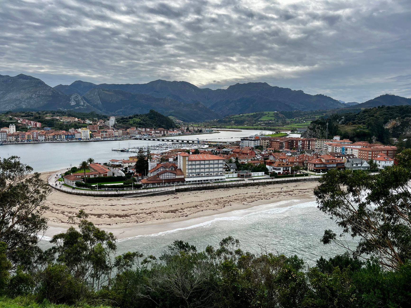
Ribadesella sits where the Sella River meets the Cantabrian Sea, the old town on one bank and a long sandy beach on the other. The iron bridge that once linked them — 300 metres of it, one of the longest in Spain when it opened in 1892 — was dynamited in 1937 and rebuilt in concrete three years later. That bridge is still how you cross, and the scar in its history is part of what makes Ribadesella worth understanding.
Below the cliffs on the west side of town, the Tito Bustillo Cave holds paintings of horses and deer made somewhere between 12,000 and 17,000 years ago — a UNESCO World Heritage site that most visitors to this coast still manage to miss.
💛 What travellers fall for
People who come back tend to time it around the cave. Arrive at Tito Bustillo early; morning slots go fast in summer. After, walk the Paseo de la Grúa along the port and find the six ceramic panels Antonio Mingote made — they tell the town's history in a few quiet images, and nobody crowds around them.
Experiences you don't want to miss



Deals in Ribadesella
Book directly at the providerHow Ribadesella came to be
Strabo mentioned the River Noega in the 1st century BC as the boundary between the Astures and the Cantabrians — the people living here then were called the Salaeni. The town as a formal entity dates to the 13th century, when Alfonso X granted it a charter. Through the Middle Ages it traded in wood and salt along the Sella and sent fishing boats after salmon and whales along the coast.
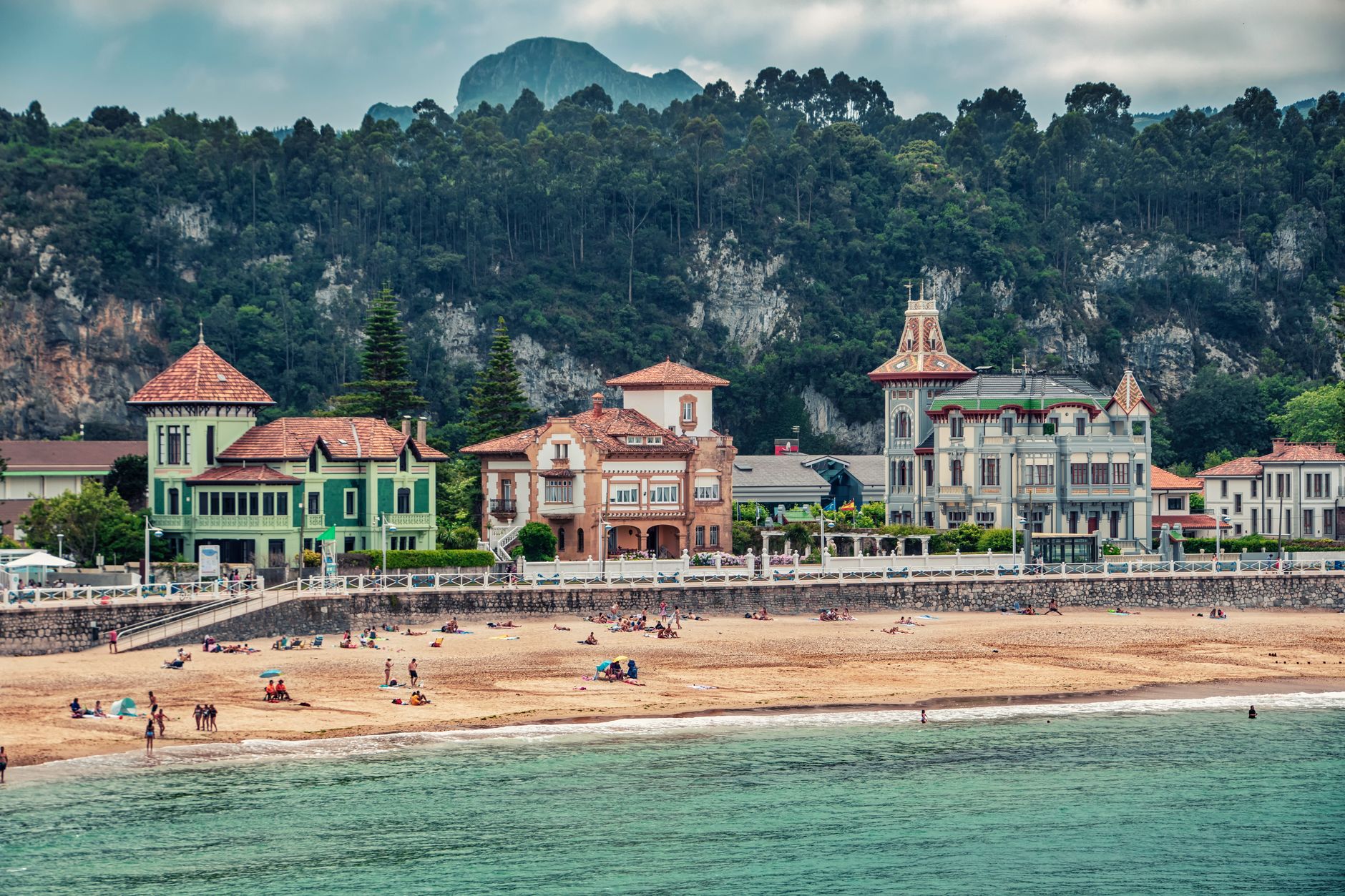
That maritime wealth funded the mansions that still line the casco antiguo — most of them built in the 16th and 17th centuries, the oldest being the Palacio de Prieto Cutre, a plateresque building from the 1500s that now houses the city council. The 13th-century Church of Santa María de Junco carries the longer timeline in stone, patched and rebuilt across the centuries, and partially destroyed in the Civil War before its restoration in 1980.
Who and what shaped it
People who shaped it
Landmark buildings
See Ribadesella in motion
Plan your visit
On the map
When to go
Ribadesella's Atlantic climate means mild summers — highs around 22°C in August — and cool, damp winters rarely dropping below 7°C. Rain is a constant companion year-round, but July and August are the driest months; November is when the weather really commits to grey.
Right now
Background & history adapted from Wikipedia (CC BY-SA) · specs from Wikidata (CC0) · weather from Open-Meteo · map data © OpenStreetMap contributors · photos from Wikimedia Commons / Unsplash with per-image credit. No third-party reviews or social posts reproduced.