
Rakiraki
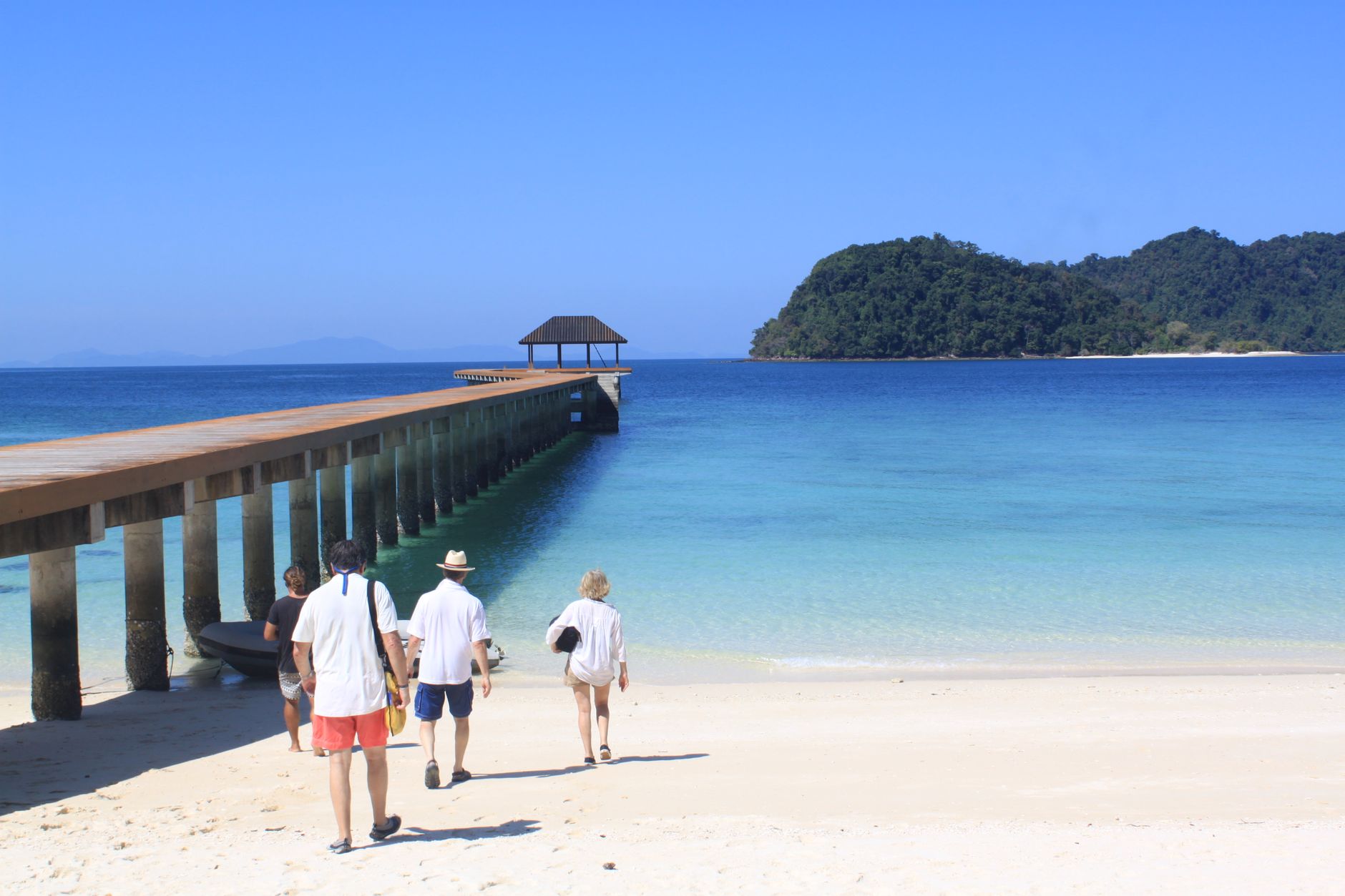
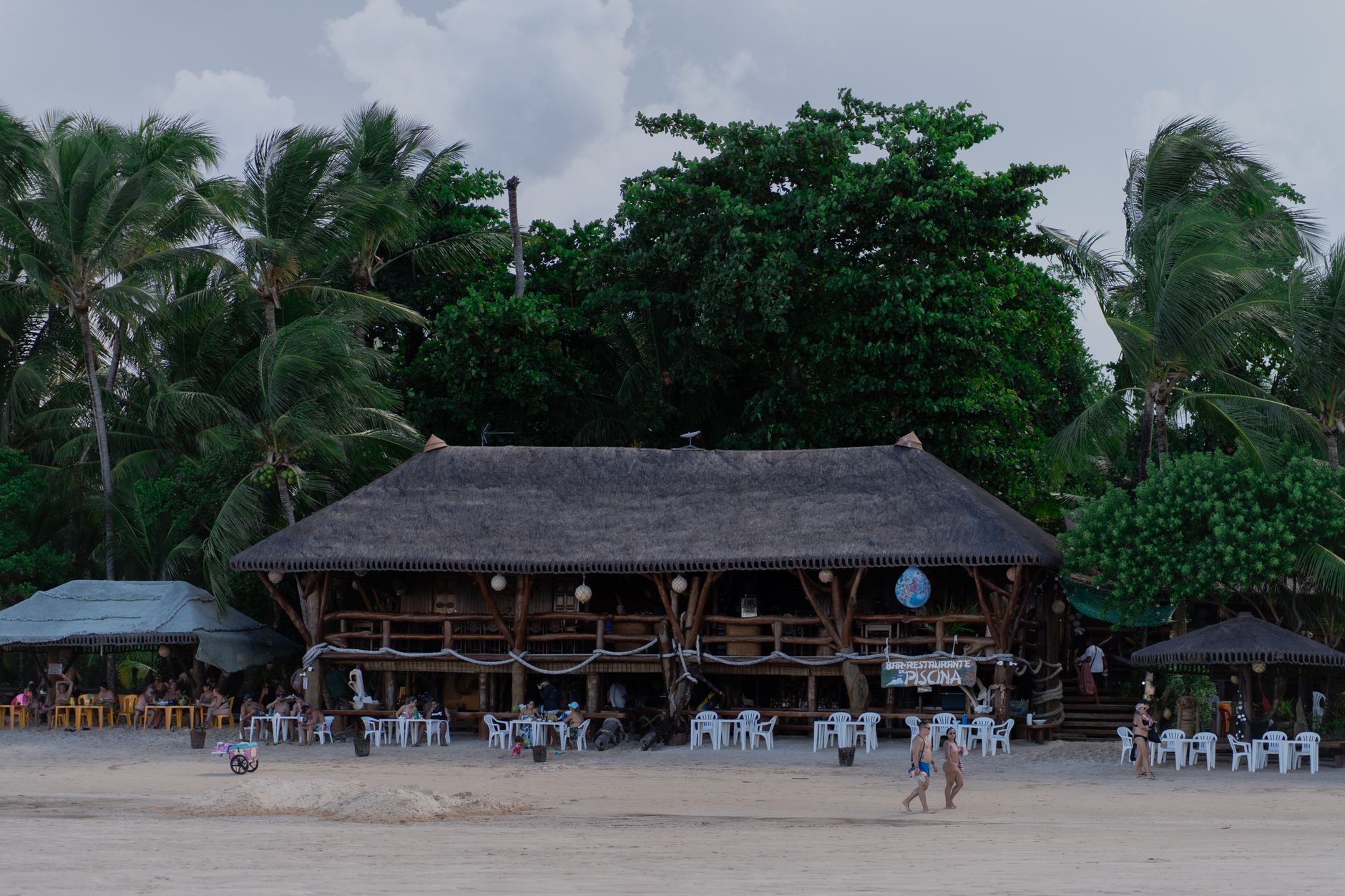
The Nakauvadra Range sits on the horizon from almost anywhere in Rakiraki, a wall of green that wrings rain from passing clouds before they reach the coast — which is why the cane fields here stay dry enough to burn at harvest, and why the water offshore runs unusually clear. This is the northern tip of Viti Levu, where sugar country meets open sea, and where the island of Nananu-i-Ra floats 1.5 kilometres out, carrying — in Fijian tradition — the souls of the dead toward the afterlife.
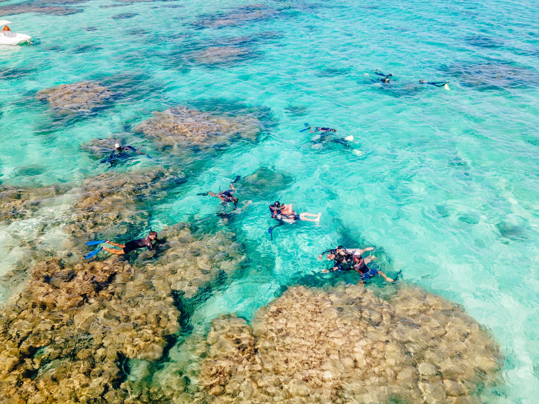
Rakiraki is a working town, declared as such only in 2010, though people have lived in this corner of Fiji for around 3,000 years. The Penang Sugar Mill still runs. Cattle graze the highlands. Kava grows in the valleys. And just offshore, beneath the Bligh Water, some of Fiji's most rewarding dive sites wait with soft coral and channels the locals call the Amazing Maze.
💛 What travellers fall for
People who come back tend to anchor themselves at Volivoli Beach Resort and spend mornings underwater before the afternoon wind picks up. The dive sites around Nananu-i-Ra reward repeat visits — conditions shift, and what looked like one reef turns out to be several. The market opposite the bus stand is worth an early stop for provisions before heading out.
Deals in Rakiraki
Book directly at the provider

How Rakiraki came to be
Pottery fragments at the base of Navatu Rock in Vitawa village place human settlement here at roughly 1000 BCE, part of the broader Lapita cultural movement that carried people across the Pacific from around 1500 BCE. The rock itself — and the long continuity of life around it — gives Rakiraki a depth that the town's recent official status doesn't suggest.
European influence arrived in the late 19th century through sugar. The Penang Sugar Mill opened in 1878, bringing Indo-Fijian laborers under indenture and reshaping the social fabric of the district. Rakiraki holds several firsts for Fiji's Western Division: the first sugar mill, the first Hindu temple, the first primary school. The football association followed in 1938, founded under Edward Raman — one of the quieter markers of a community settling into itself.
Who and what shaped it
People who shaped it
Landmark buildings
See Rakiraki in motion
Plan your visit
On the map
When to go
June through November is the driest stretch, with July averaging just 69mm of rain and temperatures sitting around 26–29°C year-round. The wet season runs roughly November to April, with January the heaviest month at 326mm; that period also overlaps with hurricane season, so it's worth watching forecasts if you're travelling then.
Right now
Background & history adapted from Wikipedia (CC BY-SA) · specs from Wikidata (CC0) · weather from Open-Meteo · map data © OpenStreetMap contributors · photos from Wikimedia Commons / Unsplash with per-image credit. No third-party reviews or social posts reproduced.