
Promenade des Anglais
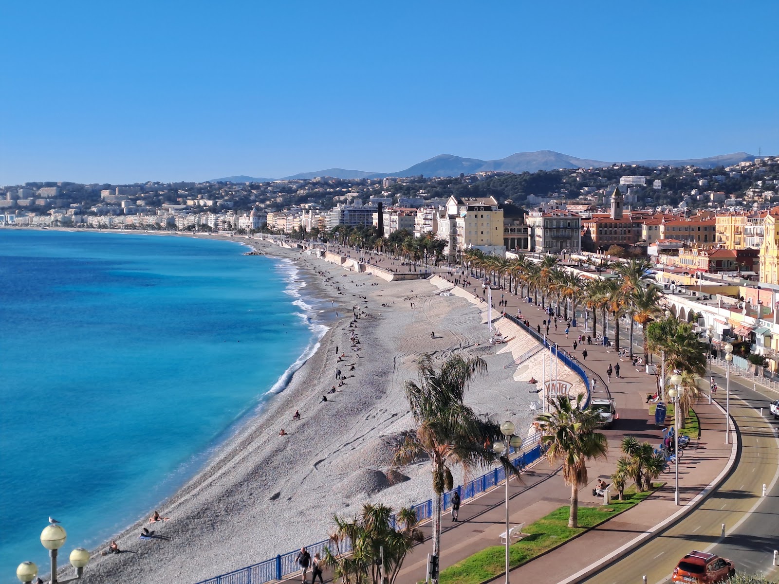
Seven kilometres of seafront, running from the airport all the way to the old port, and the thing you notice first is the light — flat, white, bouncing off the Mediterranean and the pale stone buildings in equal measure. The Promenade des Anglais is not a secret or a surprise; it is simply where Nice faces the sea, and where everyone, at some point in the day, ends up.
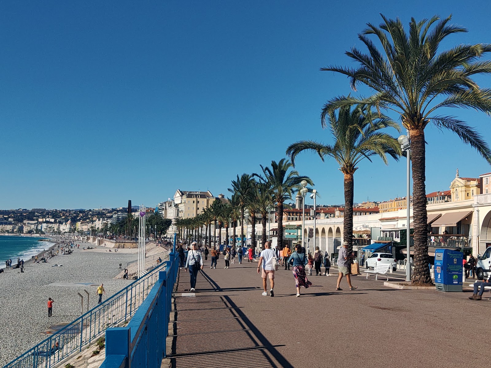
The blue chairs are the detail that stays with you. Placed along the walkway since 1948, they face south toward the water, arranged in pairs or loose clusters, and people actually use them — to read, to argue, to watch the pebble beach below with no particular agenda.
💛 What travellers fall for
People who come back to Nice tend to walk the Promenade early, before the sun is fully overhead. The stretch east of the Negresco, toward Quai des États-Unis, is quieter than the central section. The noon cannon fires from Mont Boron hill — you hear it before you see anything, and it still stops people mid-step.
The story behind Promenade des Anglais
In the winter of 1820, a harsh season left many of Nice's poor without work. English residents — led by Reverend Lewis Way of the Holy Trinity Anglican church — funded a simple coastal path to give labourers something to build. Locals called it Camin deis Anglés, the English Way. It was finished by 1824.
The municipality took it over in 1835, and the road grew steadily outward: 8 metres wide by 1856, reaching the Var River racecourse by 1903. After Nice's annexation to France in 1860, the path was formally renamed La Promenade des Anglais. Its current form — double lanes, wide pavements, palm trees — took shape around 1930. The Hotel Negresco, inaugurated in January 1913 and now a National Monument, and the Art Deco Palais de la Méditerranée, built in 1929, remain the two buildings that define its skyline.
Good to know
Tram Line 2 runs the length of the Promenade and connects directly to the airport. Vélo Bleu rental stands are dotted along the route; the dedicated bike lane makes cycling the full 7 km straightforward. Walk the whole thing in under 90 minutes, or take a bike and double back. No entry fee, ever.
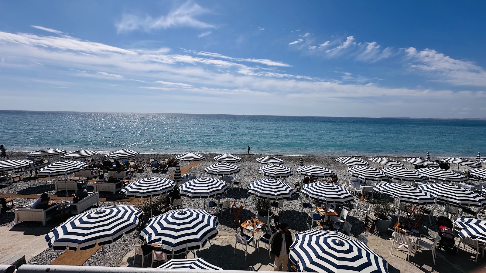
The Promenade faces due south and catches sun for most of the day. Winter afternoons are mild enough to sit in one of the blue chairs without a coat; summer midday is genuinely fierce. Morning or late-afternoon is the sensible time to walk it in July and August.
Where is Promenade des Anglais?
More tickets & tours for Promenade des Anglais
Book directly at the provider
What travellers say about Promenade des Anglais
This beautiful promenade is perfect for a leisurely walk while enjoying the sunshine and the sea. There are also several covered benches where you can sit, relax, and read a book in peace.
One of the best seaside walks I have ever experienced. Amazing views, a beautiful atmosphere, and a truly memorable place to visit.
This is the best promenade I have been to!With this 5km stretch,I was able to see most of Nice with its old town,hill,port etc.It was giving me Split,Croatia vibes.Overall the ⭐
I travelled to Nice for the carnival season. The Promenade des Anglais was wonderful. Beautiful architecture, a good selection of shops and eateries nearby and a beach where you can sit and watch the world go by.
Amazing place for morning walks and evening walks. Very relaxing and stunning views. The water is blue colour sometimes. Aviation enthusiasts can see plane landings and takeoffs. Too good.
More of Nice
Discover where to stay, what to do and the best deals for your trip.
Explore Nice →More attractions in Nice
All of Nice →
Background adapted from Wikipedia (CC BY-SA) · map data © OpenStreetMap contributors · ratings & place photos via Google · other photos with per-image credit. Ticket links may earn us a commission at no extra cost to you.