
Port Douglas
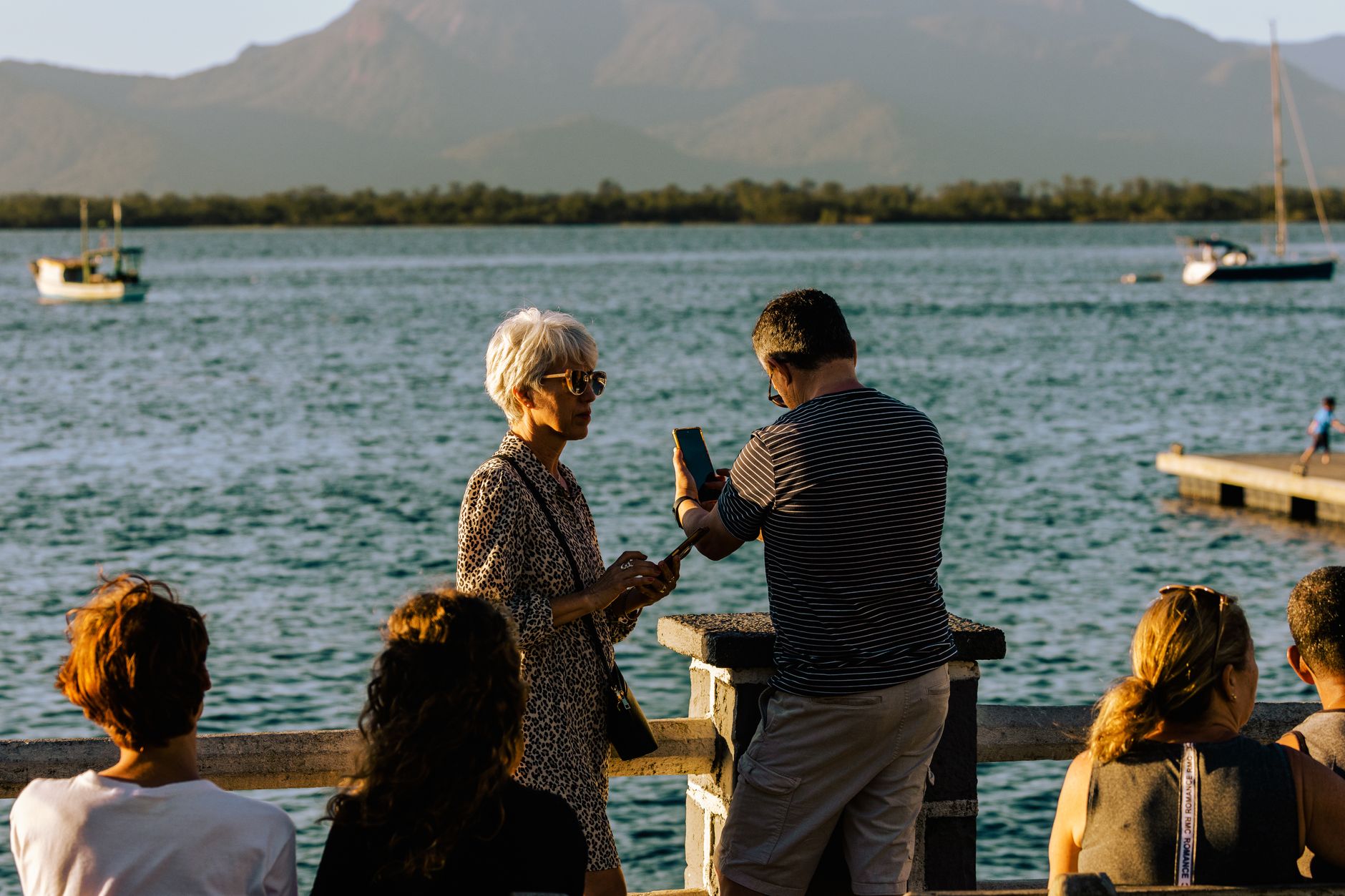
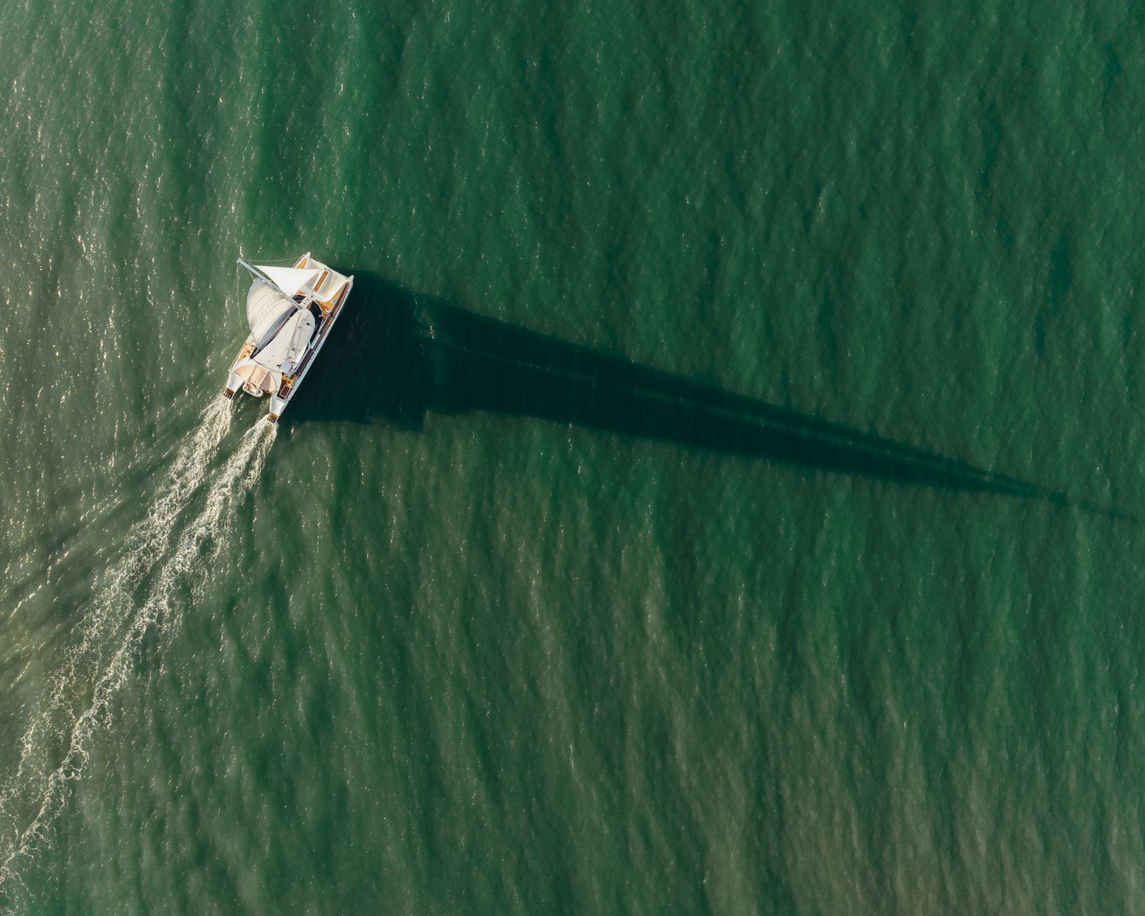
Port Douglas sits at the end of a narrow peninsula where the Coral Sea meets the edge of the oldest rainforest on earth, and the town has never quite shaken the feeling that it arrived here by accident. It started as a gold-rush port in 1877, was briefly the most important harbour in North Queensland, and then — when the railway chose Cairns instead — quietly slipped into something smaller and more itself.
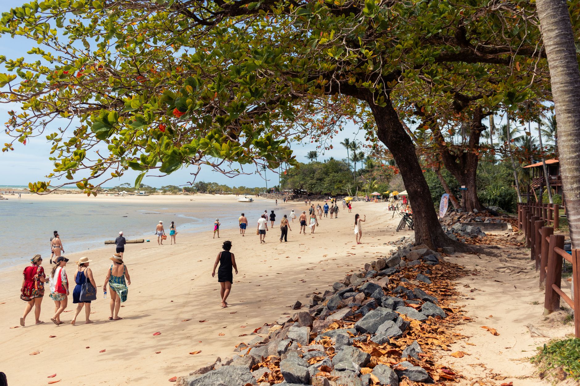
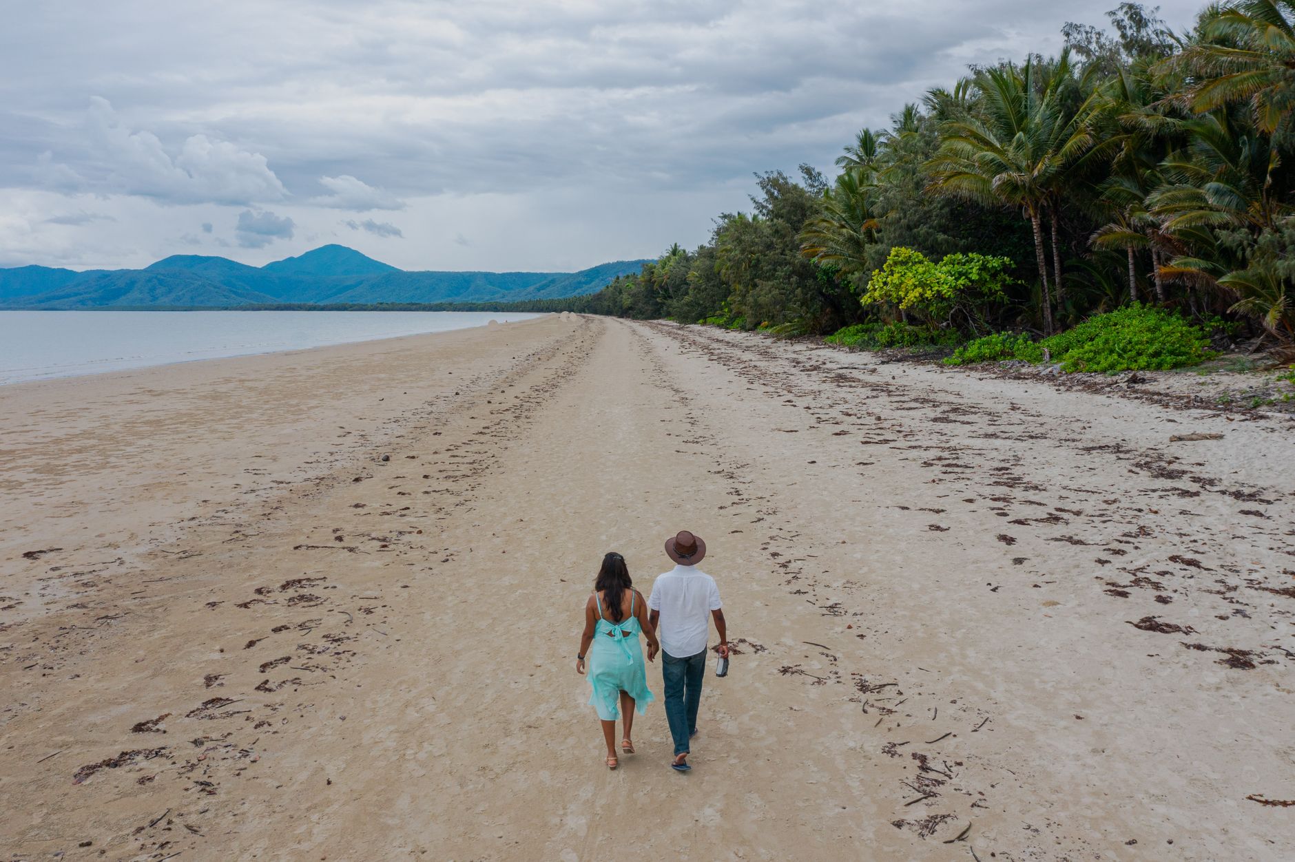
Today the main street is four blocks long, Four Mile Beach curves south in an almost implausible arc of pale sand, and the reef is an hour offshore by boat. The scale of the place is the point.
💛 What travellers fall for
People who come back tend to lock in a Sunday at the markets in Anzac Park — local honey, mango chutney, someone selling reef photographs — and then spend the rest of the week doing almost nothing on Four Mile Beach before one long reef day. St. Mary's by the Sea is worth the short walk up even if no wedding is scheduled; the altar window frames the Coral Sea like a painting.
Deals in Port Douglas
Book directly at the provider

How Port Douglas came to be
The site the Kuku-Yalandji people called Jabulkanji went through half a dozen names before November 1877, when it was formally named Port Douglas after Queensland Premier John Douglas. The town existed because of gold: Christie Palmerston had blazed the Bump Track from the coast to the Hodgkinson goldfields that same year, and the port quickly became the supply and export point for the rush inland.
The decline was almost as fast. A brutal wet season in 1882 destroyed the track, and when the railway opened through Cairns in 1891, Port Douglas lost its economic reason to exist. A tramway to Mossman and a sugar wharf kept a thread of commerce alive into the mid-20th century, but by 1960 the population was around 100. The 1980s brought tourism, and the 1987 opening of the Sheraton Mirage — a project connected to developer Christopher Skase — announced that Port Douglas had found a second life.
Who and what shaped it
People who shaped it
Landmark buildings
See Port Douglas in motion
Plan your visit
On the map
When to go
The dry season, May to October, delivers clear skies and warm days around 25–28°C with low humidity and breezy evenings — the obvious window for reef trips and beach time. The wet season, November to April, is hotter and dramatically wetter, with February averaging 378 mm of rain; the reef is still accessible but marine stingers are present in coastal waters.
Right now
Background & history adapted from Wikipedia (CC BY-SA) · specs from Wikidata (CC0) · weather from Open-Meteo · map data © OpenStreetMap contributors · photos from Wikimedia Commons / Unsplash with per-image credit. No third-party reviews or social posts reproduced.