
Pitigliano
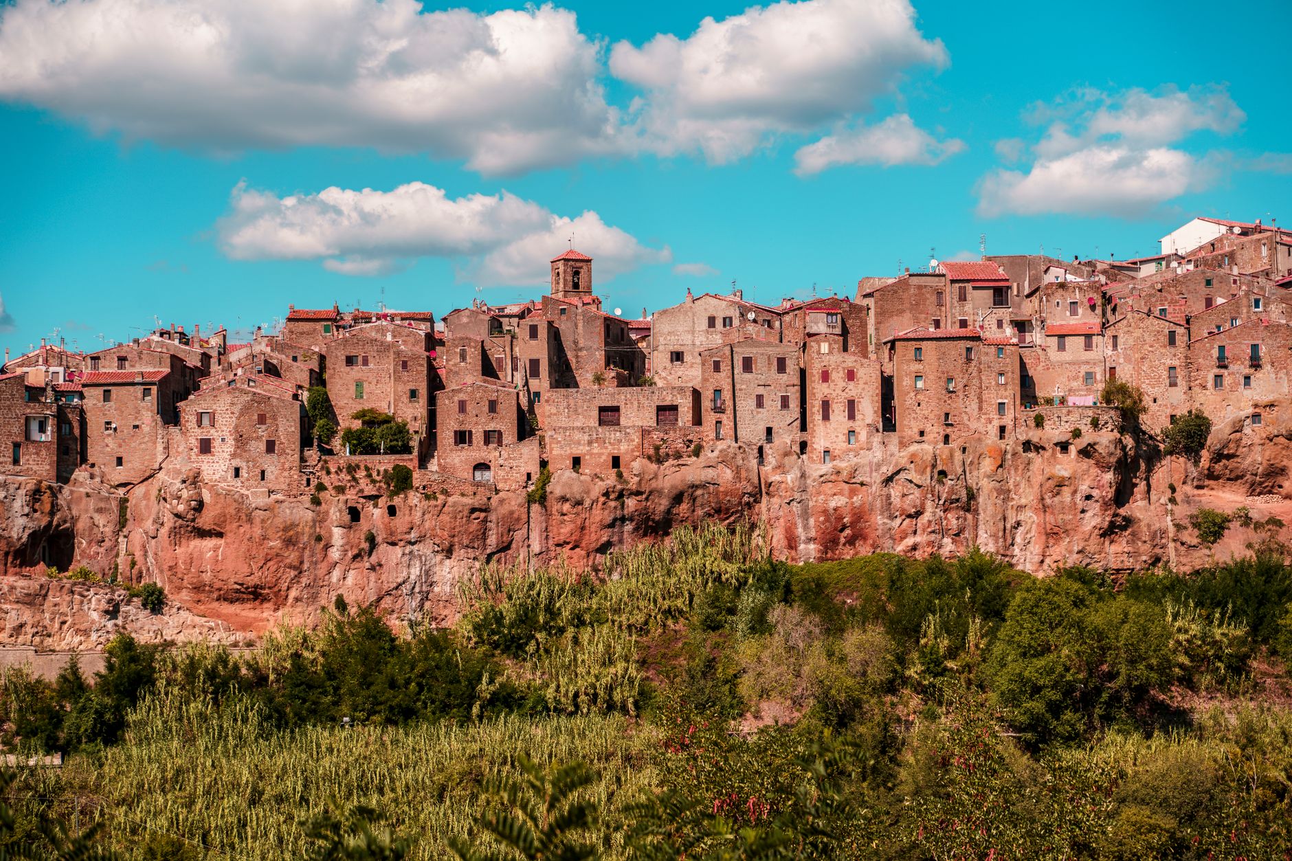
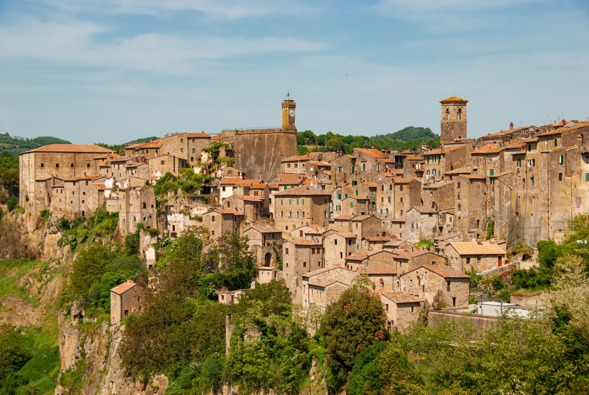
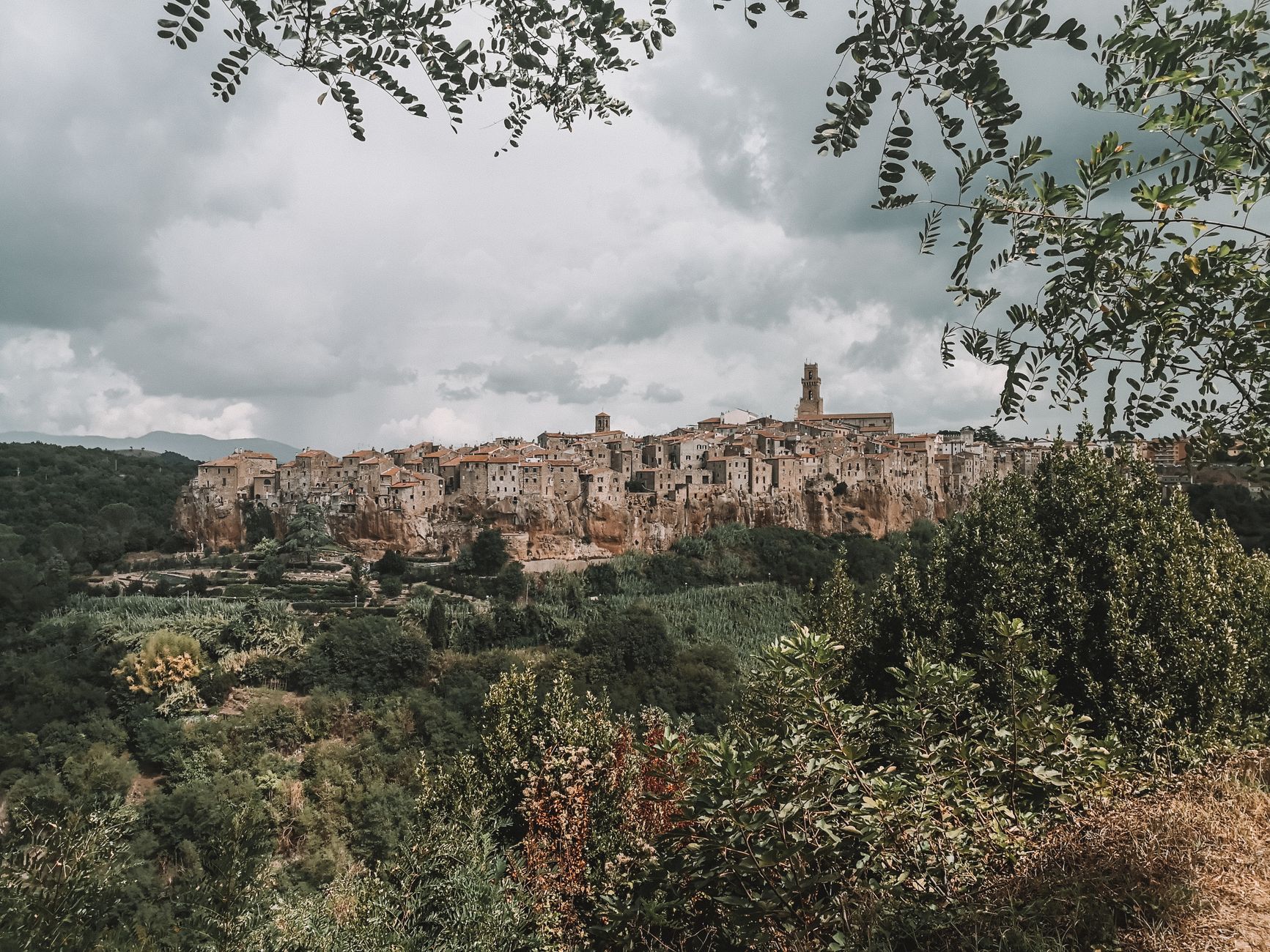
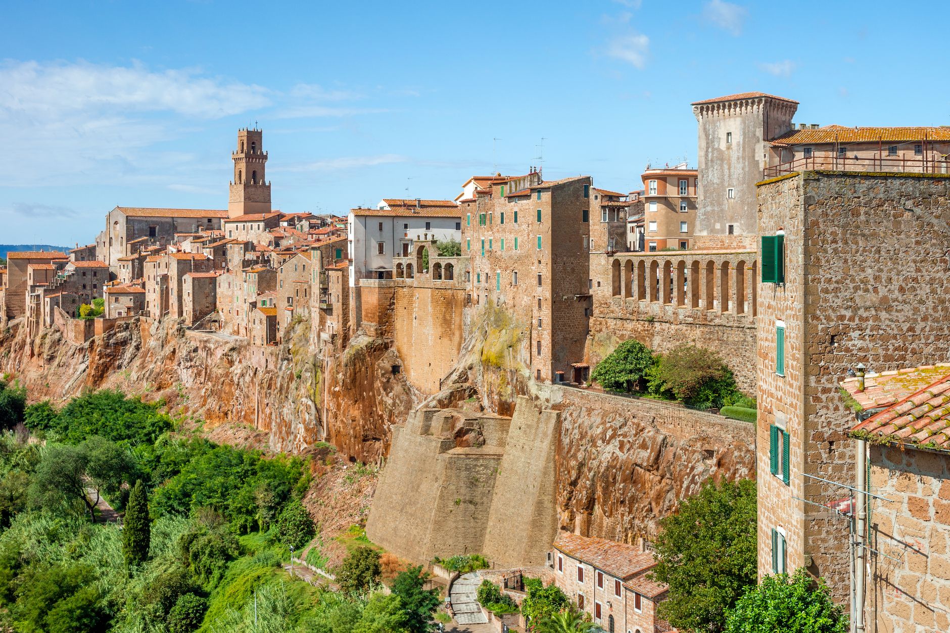
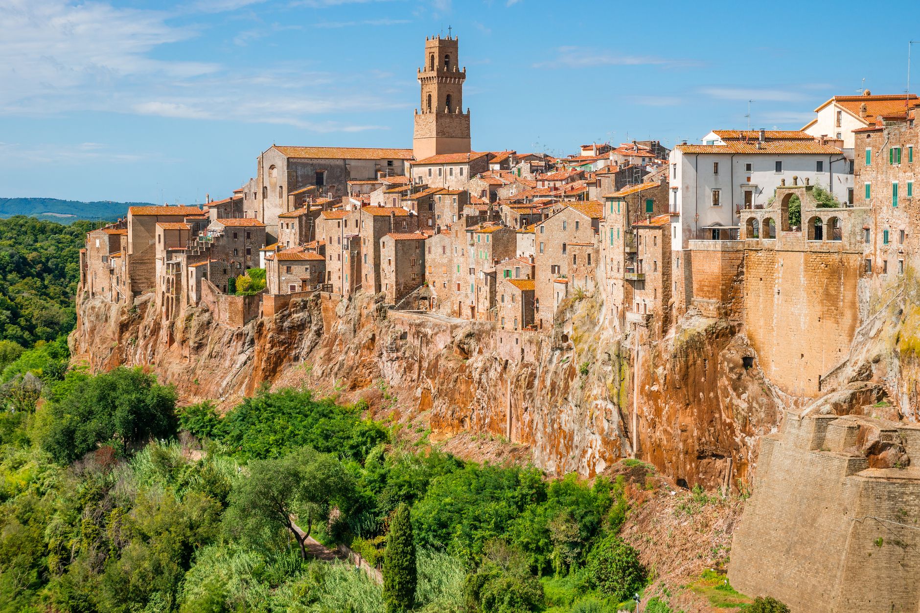
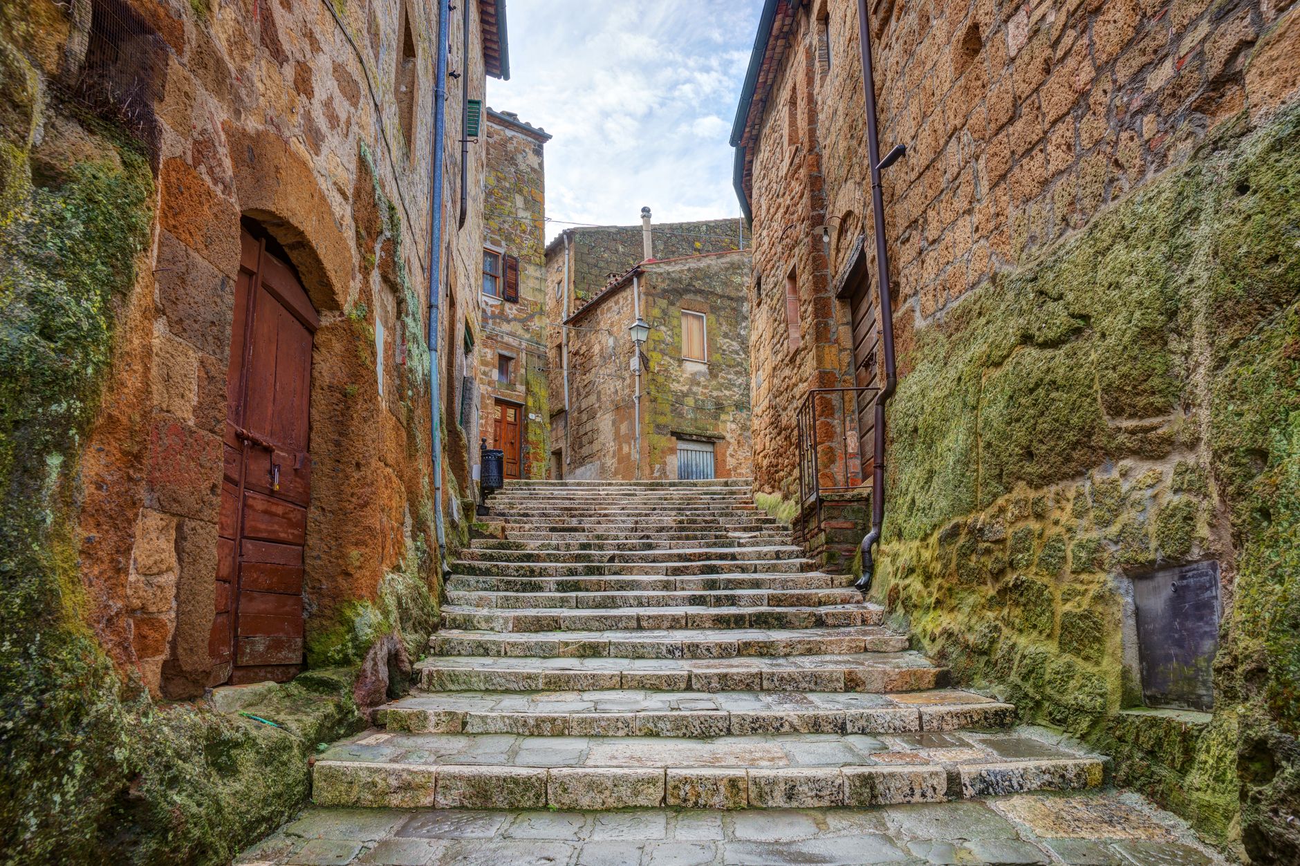
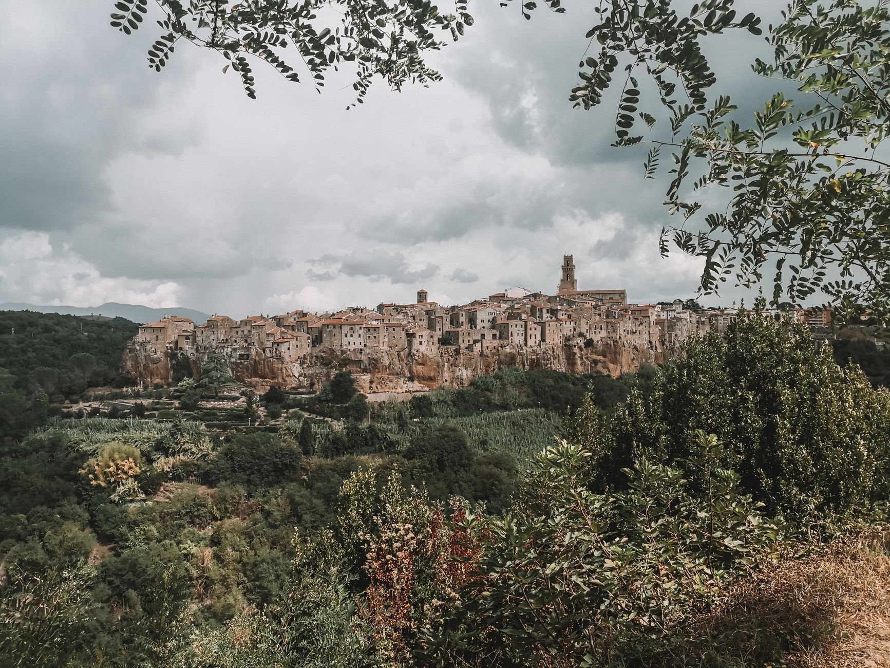
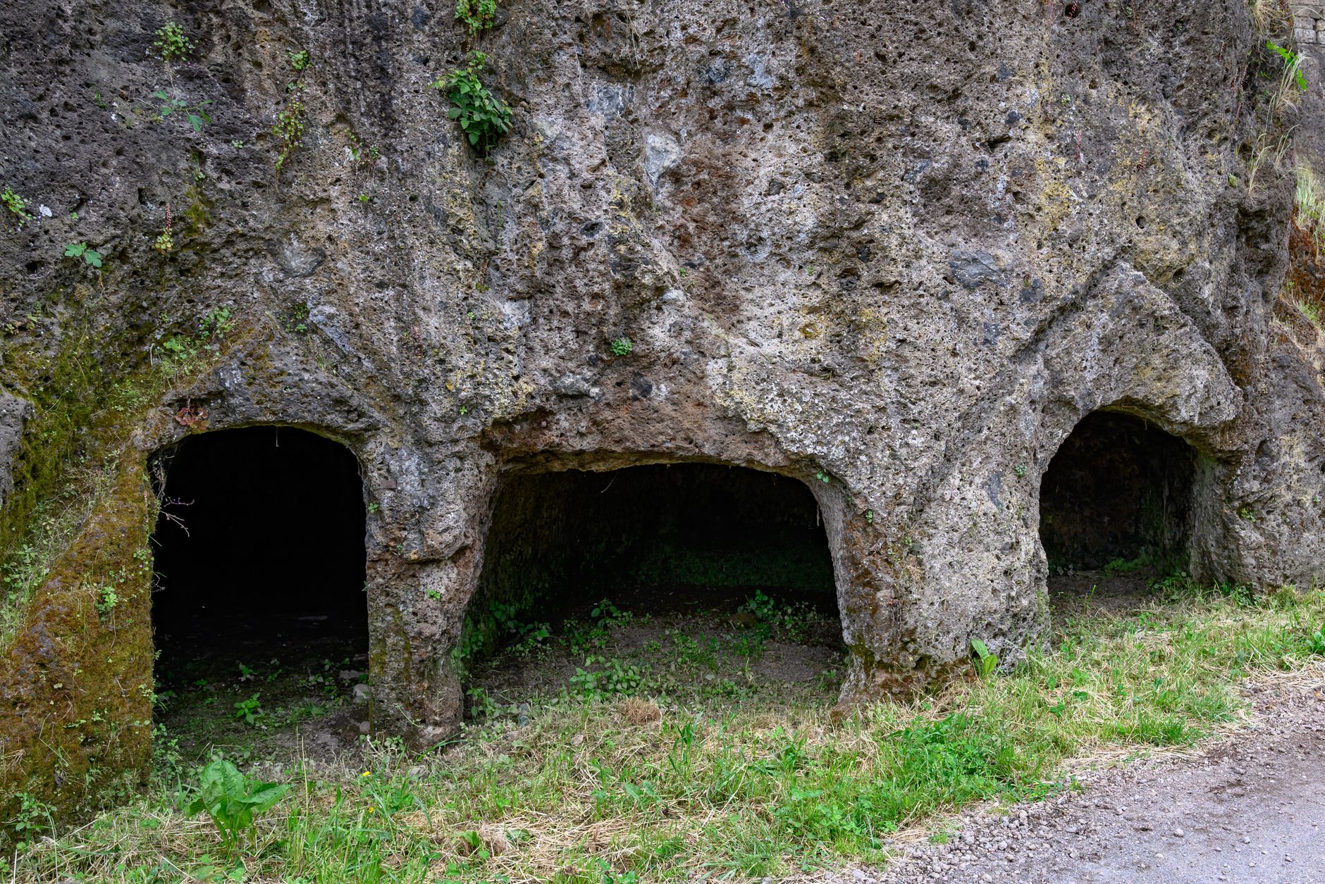
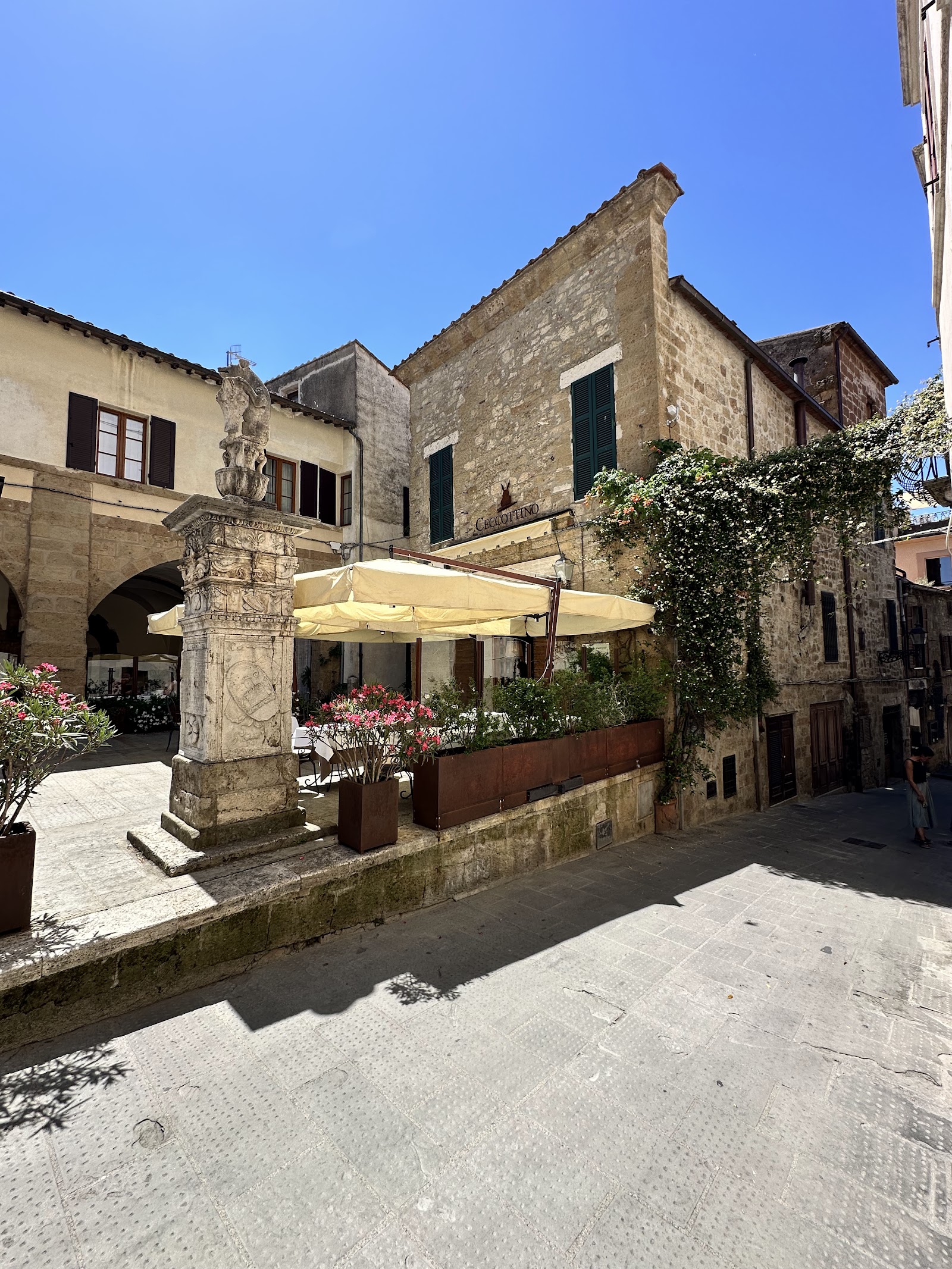
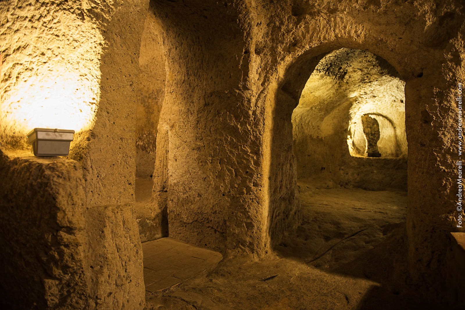
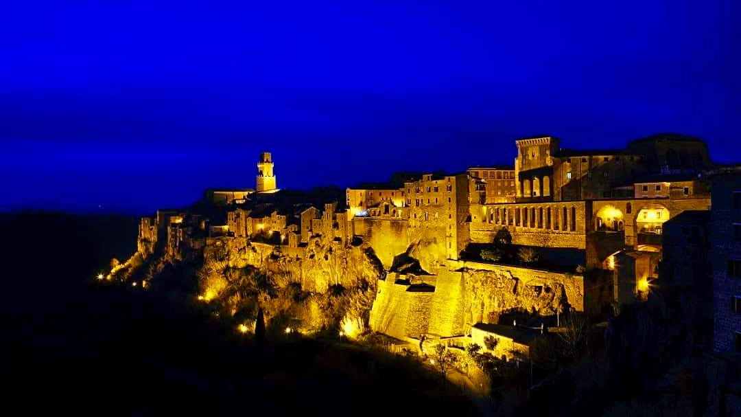
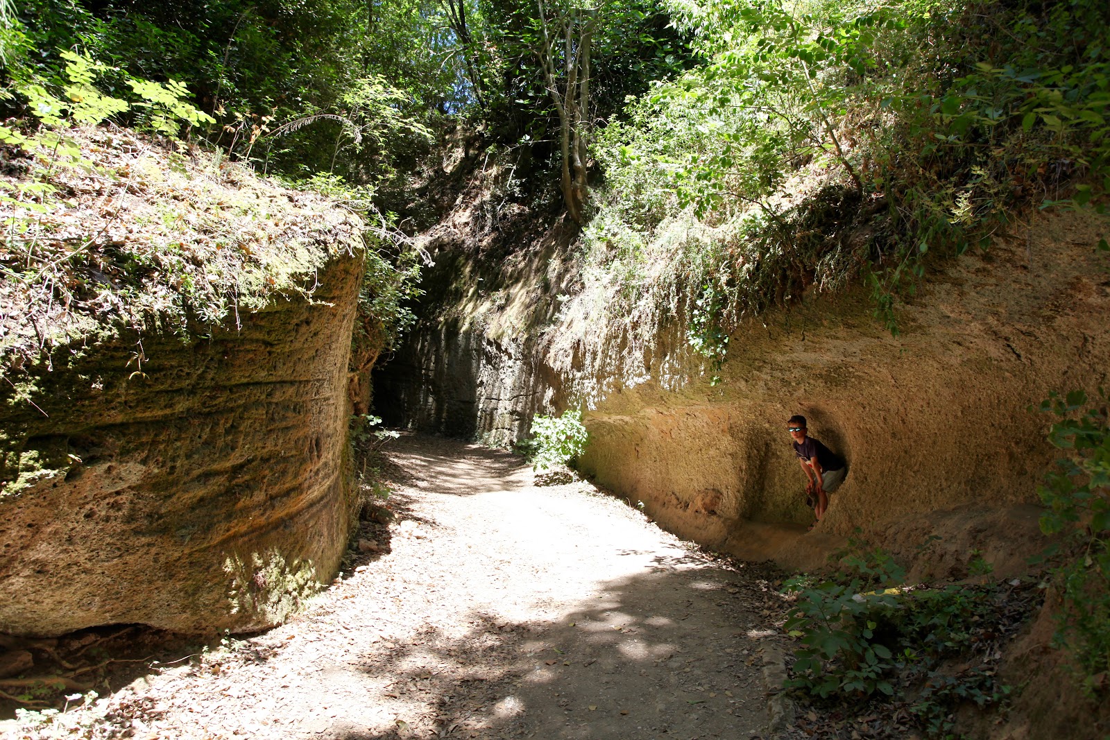
Pitigliano sits on a ridge of volcanic tufa above a ravine, and your first view of it — the town rising like a natural extension of the rock it was carved from — tends to stop you mid-sentence. The streets are stone, the staircases are stone, the walls are stone, and below the town the Etruscans cut roads called Vie Cave straight down into the tuff, sometimes more than ten metres deep, for reasons that still aren't entirely agreed upon.
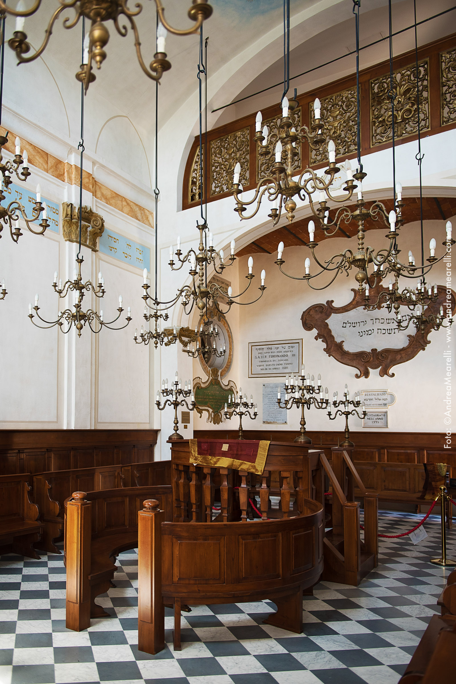
The town has three main parallel streets — Via Roma, Via Zuccarelli, Via Vignoli — and a Jewish quarter that earned Pitigliano the name La Piccola Gerusalemme, Little Jerusalem. The synagogue, the ritual baths, the Forno delle Azzime where unleavened bread was baked: they're all still here, restored and open to visitors.
💛 What travellers fall for
People who come back tend to mention the same two things: walking a Vie Cava in the early morning before anyone else arrives, and the Bianco di Pitigliano — a DOC white grown in volcanic soil that you can find poured in the small bars along Via Roma for less than you'd expect.
Experiences you don't want to miss



Deals in Pitigliano
Book directly at the provider
How Pitigliano came to be
The town appears in written records as early as 1061, in a papal bull from Nicholas II, though the territory had been inhabited since the Etruscan period — the Vie Cave and the necropolis cut into the tufa are their work. By the early 13th century, Pitigliano was in the hands of the Aldobrandeschi family and had become the capital of the surrounding county. In 1293 it passed to the Orsini, who spent the next century and a half in intermittent conflict with Siena before a compromise was reached in 1455.
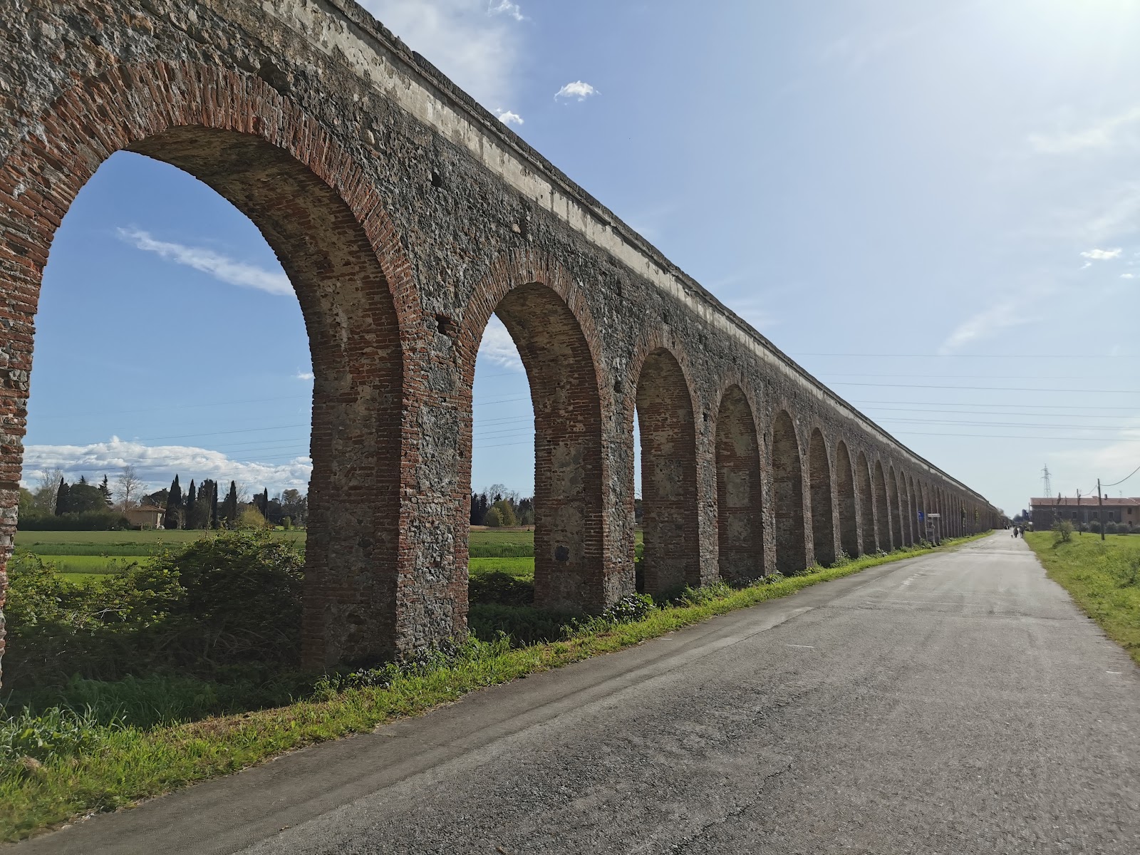
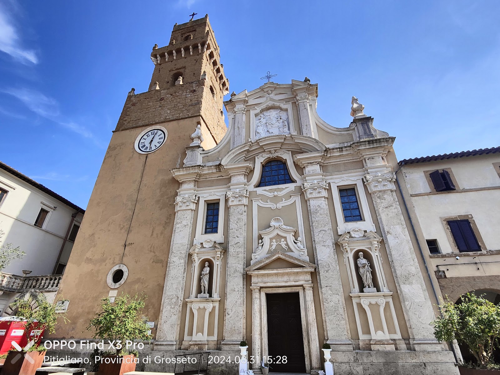
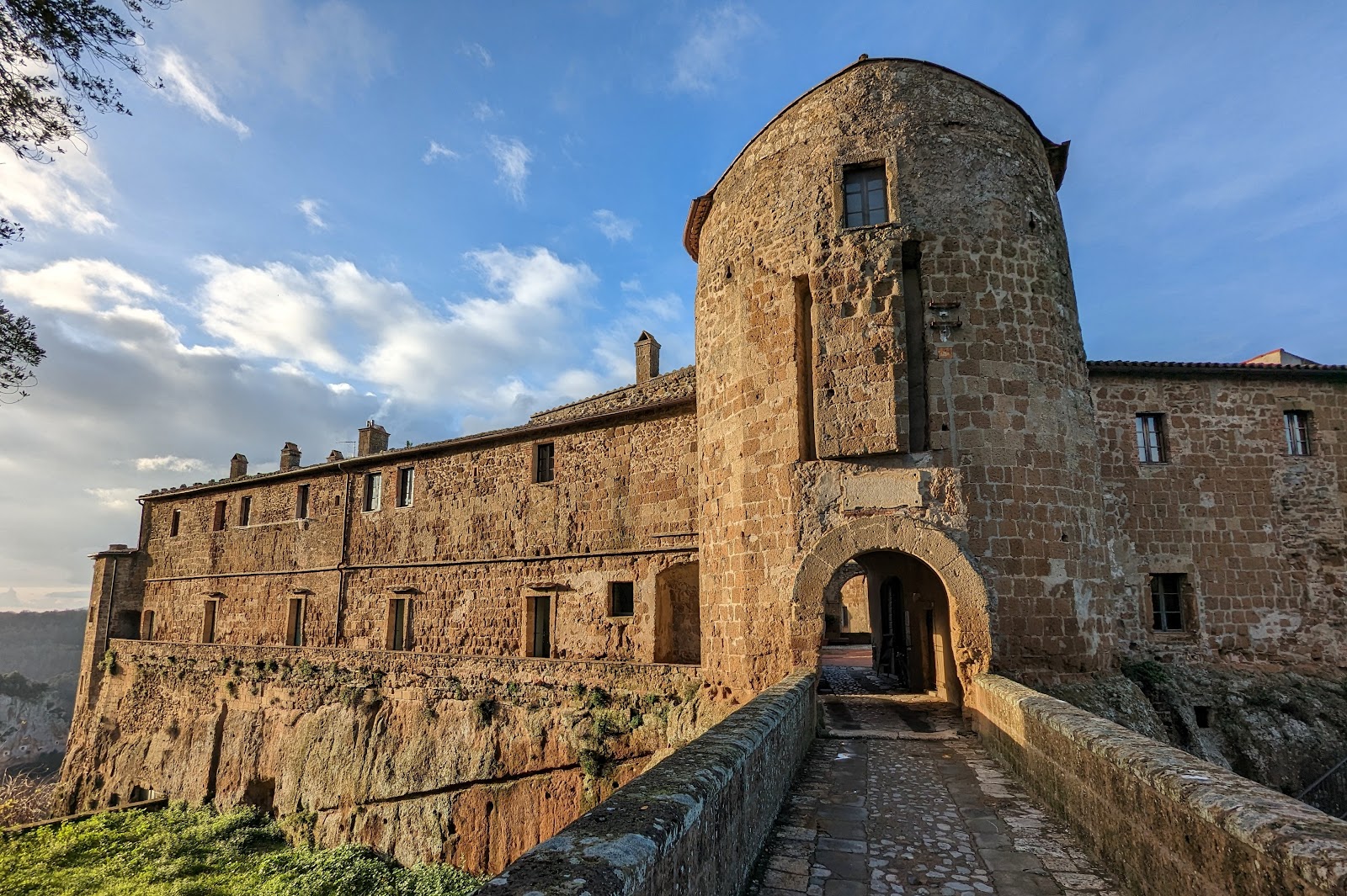
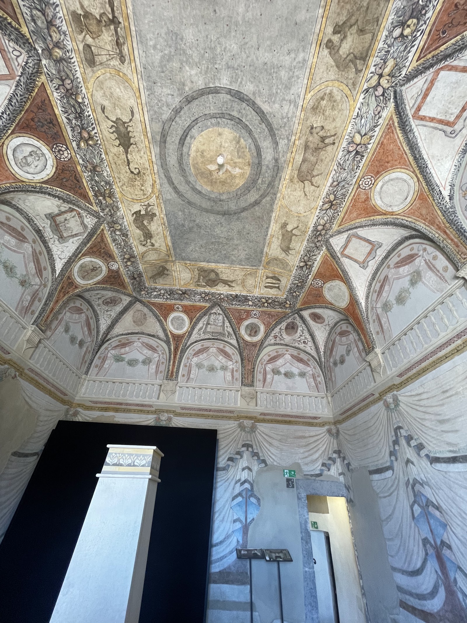
The Orsini left their mark in stone: the fortress reached its present form in 1545, the Palazzo Orsini still stands, and it was the Orsini who commissioned the aqueduct that the Medici — who took over in 1604 — eventually completed in 1639. The synagogue was built in 1598, and in 1556 the physician David de Pomis was granted land by Niccolò IV Orsini to establish a Jewish cemetery.
Who and what shaped it
People who shaped it
Landmark buildings
See Pitigliano in motion
Plan your visit
On the map
When to go
Summers are warm and mostly dry, with temperatures occasionally reaching the high 80s Fahrenheit; May, June, and September are the most comfortable months for walking the town and the surrounding ravines. Winters are long and cold, with some snowfall between January and March — atmospheric, but the shorter days and occasional closures make them a harder time to visit.
Right now
↡ Attractions


Background & history adapted from Wikipedia (CC BY-SA) · specs from Wikidata (CC0) · weather from Open-Meteo · map data © OpenStreetMap contributors · photos from Wikimedia Commons / Unsplash with per-image credit. No third-party reviews or social posts reproduced.