
Pisac
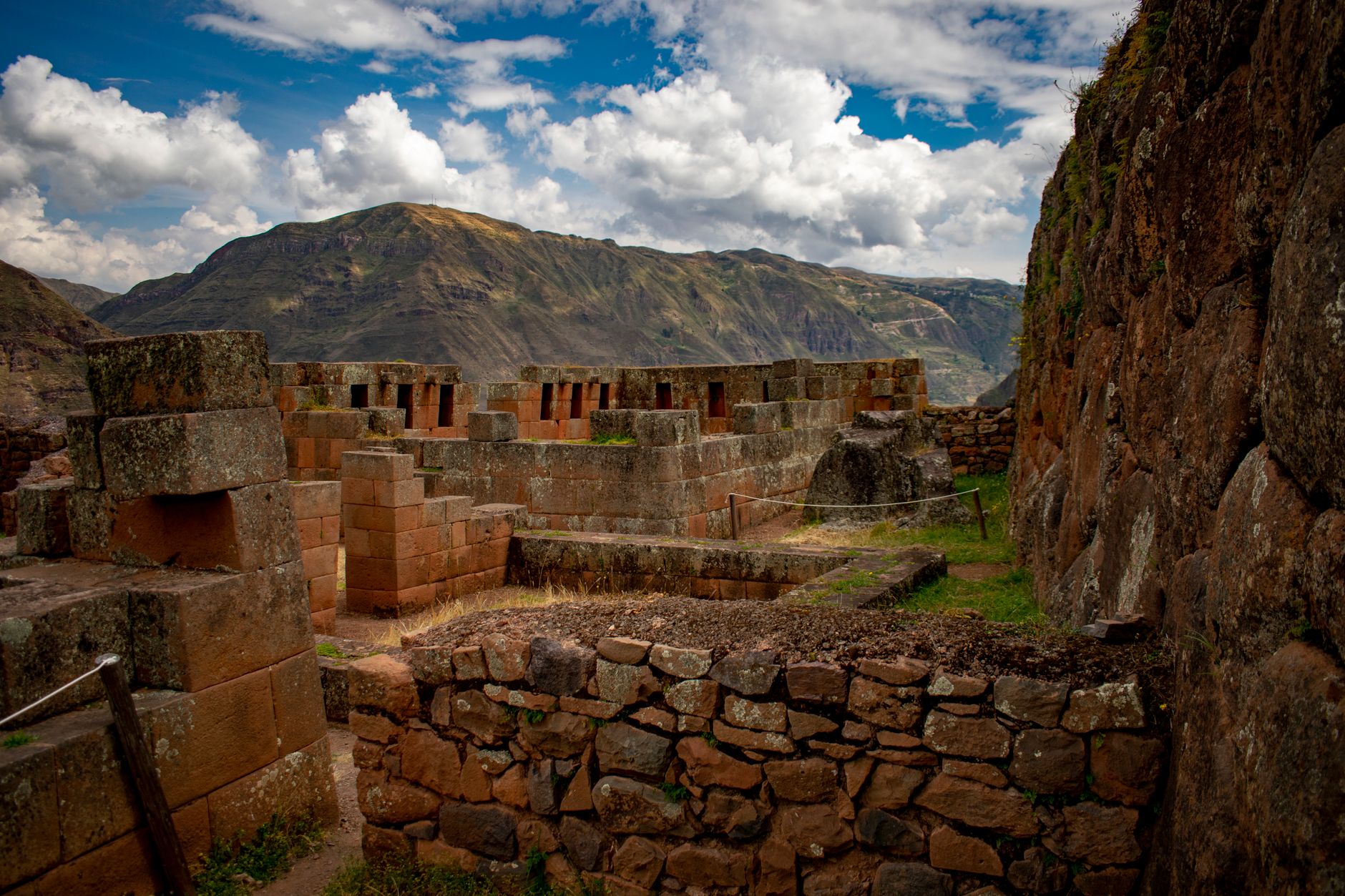
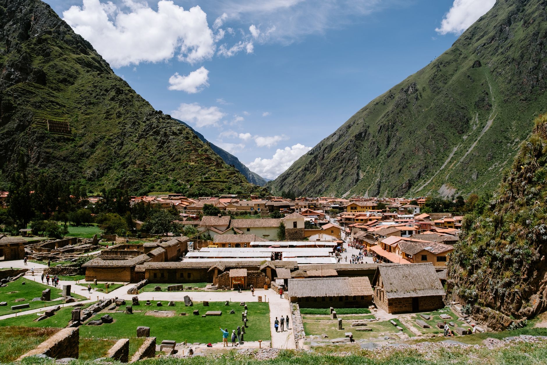
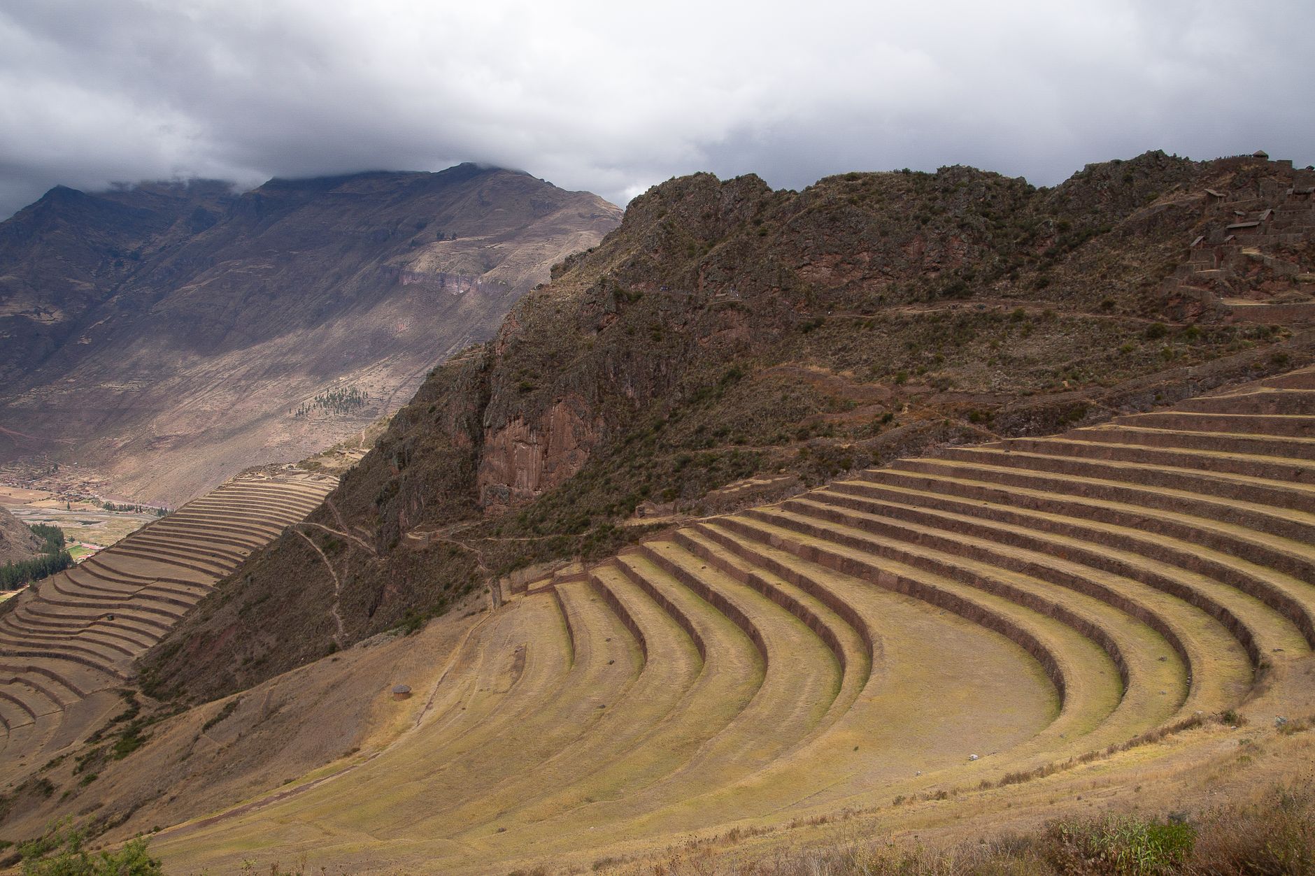
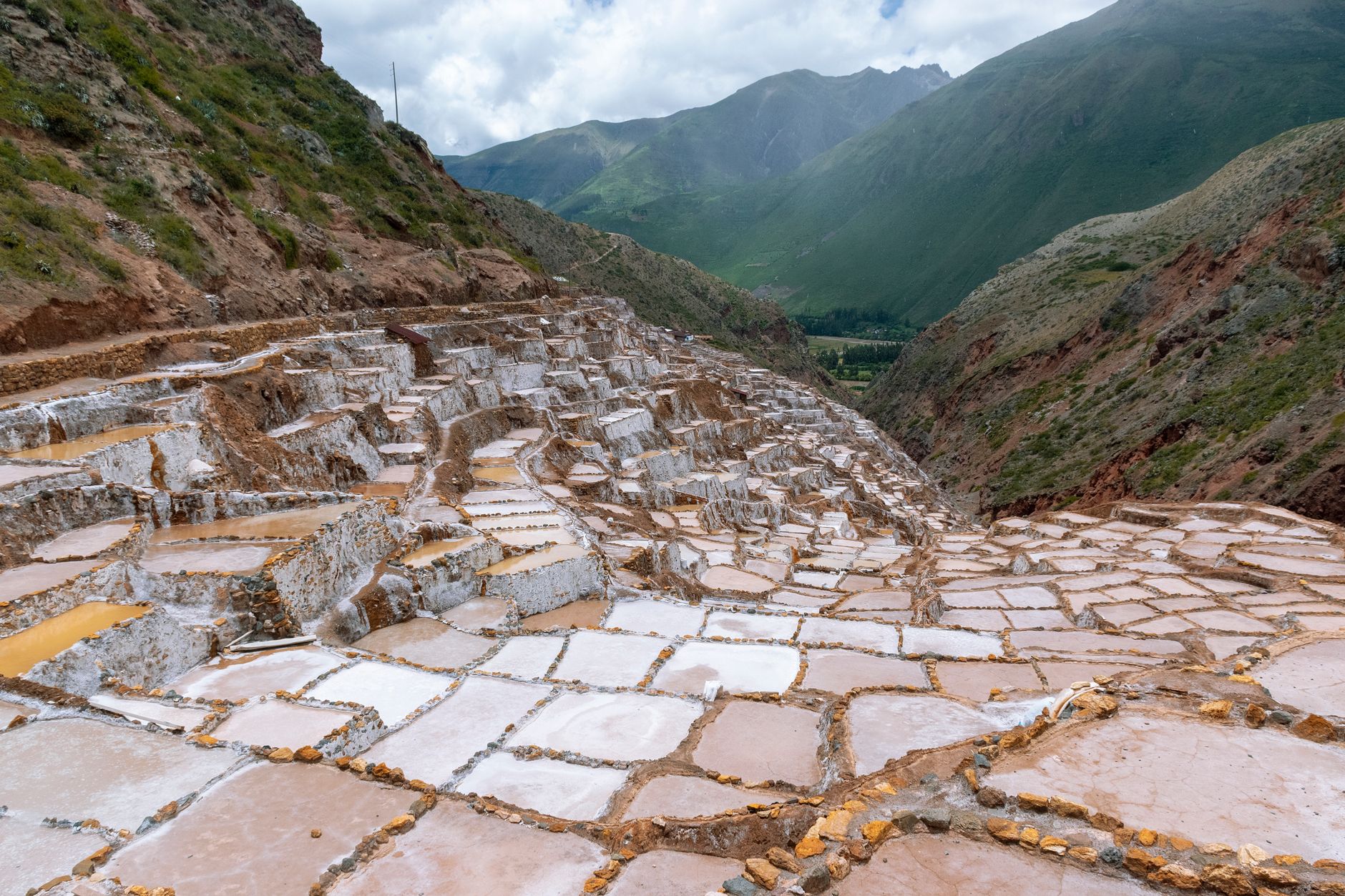
Písac sits at 2,972 metres at the southern end of the Sacred Valley, where the Vilcanota bends and the hillsides above town are terraced so precisely they still look engineered rather than eroded. The archaeological complex up on that ridge — Inca stonework spread across more than 65 hectares, rising from 3,446 to 3,514 metres — takes the better part of a day to walk properly, and most people who rush it wish they hadn't.
Down in the valley, the town itself is quieter and more lived-in than its reputation suggests. The Sunday market draws crowds, but on other mornings the Plaza Constitución belongs mostly to locals, and the church — rebuilt after a 1950 earthquake on its original Inca foundations — anchors the square without ceremony.
💛 What travellers fall for
People who come back tend to do the walk downhill from the upper entrance rather than up from town — the views open in the right order that way, and you end near the Felipe Marín Moreno Botanical Garden, which most visitors walk past entirely. The Pisac Community Museum on Federico Zamalloa Avenue is worth the small detour for its Quechua ceramics and textiles before you catch the collectivo back to Cusco.
Deals in Pisac
Book directly at the provider

How Pisac came to be
The hill above modern Písac was occupied before the Inca arrived — Lucre and Killke pottery fragments place earlier settlements on the ridge between the Quitamayo and Chongo tributaries of the Vilcanota. The monumental complex you see today was built under the Emperor Pachacútec in the 15th century: terraces, ceremonial enclosures, a solar clock, the Temple of the Sun, and Tantamarka, one of the largest cemeteries of its era, with tombs cut directly into the rock face.
When the Spanish reached Cusco in the 16th century, the population fled the hillside. The valley town was laid out in the 1570s under Viceroy Toledo as a reducción — a planned resettlement. The district of Písac was formally established on June 21, 1825, during Simón Bolívar's administration. US commissioner Ephraim George Squier documented the ruins in 1877; Austrian-French explorer Charles Wiener followed with his own account in 1880. The archaeological park was formally protected in 1983.
Who and what shaped it
People who shaped it
Landmark buildings
See Pisac in motion
Plan your visit
On the map
When to go
The dry season runs roughly May through October — clear days, cold nights, and the best visibility over the valley. The wet season from November through April brings afternoon rain and occasional cloud cover over the ruins, though mornings are often clear enough for a full visit.
Right now
Background & history adapted from Wikipedia (CC BY-SA) · specs from Wikidata (CC0) · weather from Open-Meteo · map data © OpenStreetMap contributors · photos from Wikimedia Commons / Unsplash with per-image credit. No third-party reviews or social posts reproduced.