
Pinggu District
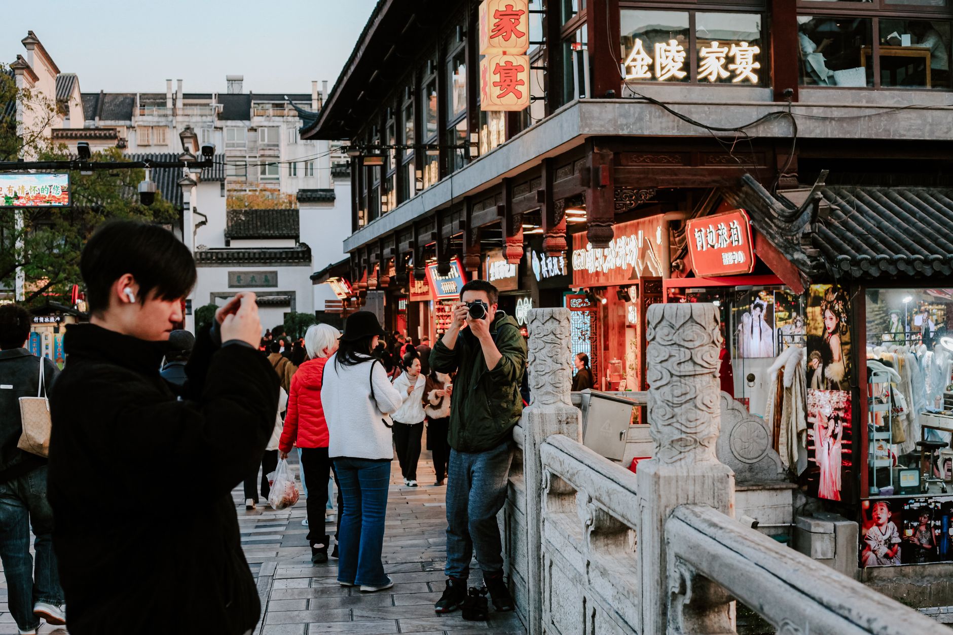
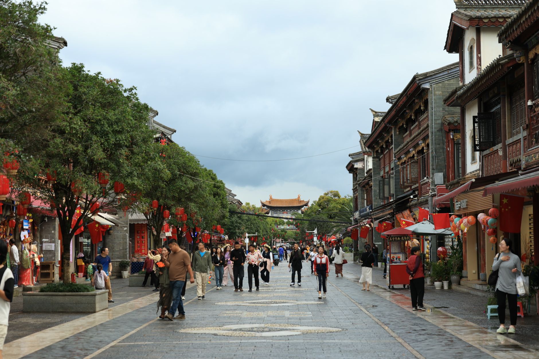
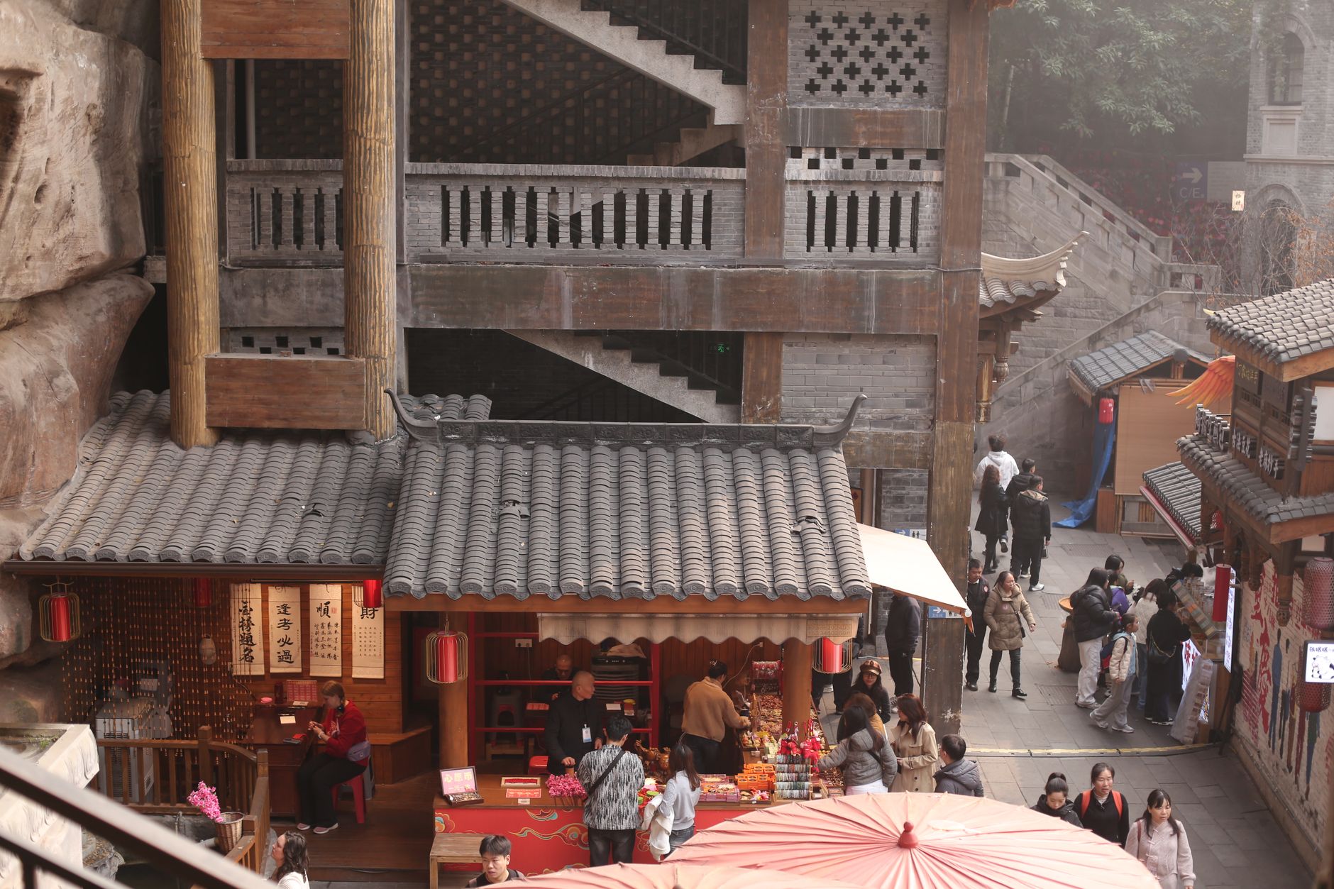
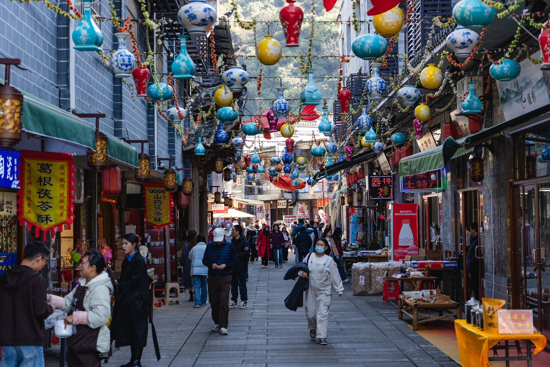
Sixty kilometers east of central Beijing, Pinggu is defined by two things you can smell before you see them: peach blossoms in April and ripe fruit in late summer. The district grows more than 200 varieties of peach across 6,000-plus hectares — enough to employ 150,000 people and earn it the informal title of China's peach capital. That agricultural identity shapes everything here, from the rhythm of the seasons to the homestays in Xiong'erzhai Village, where apricot and peach orchards bloom in sequence from late March onward.
Beneath the orchards, the geology runs deep. Jingdong Grand Karst Cave formed roughly 1.5 billion years ago and sits within a 20-square-kilometer scenic area that includes a 30-meter waterfall and a string of connected pools. Yaji Mountain carries a quieter weight — it's one of Beijing's significant Daoist sites. Pinggu rewards the kind of traveler who doesn't need a packed itinerary.
💛 What travellers fall for
People who come back tend to time a return around one of the seasonal peach events — the blossom festival in mid-April or the autumn picking season running August through October. Xiong'erzhai Village comes up often: the farmhouse stays are straightforward and the orchard walks are genuinely peaceful. Three days is the local consensus for a comfortable pace.
Deals in Pinggu District
Book directly at the provider

How Pinggu District came to be
People have lived in what is now Pinggu for at least 7,000 years — the Neolithic Shangzhai Culture left its traces here, making this one of the older continuously inhabited corners of the Beijing region. Formal administrative history begins around 2,200 years ago, when Pinggu was established as a county during the Western Han dynasty.
Its modern boundaries shifted more than once. In 1958, Pinggu County was transferred briefly to Hebei Province before being folded into Beijing Municipality that October. It remained a county for another four decades until April 2002, when it was upgraded to district status — a bureaucratic change that coincided with Beijing's broader push to develop its outer ring and position places like Pinggu as eco-tourism and agricultural destinations.
Who and what shaped it
Landmark buildings
See Pinggu District in motion
Plan your visit
On the map
When to go
Pinggu has a humid continental climate: January averages around −5°C, July around 26.5°C with the heaviest rainfall. Autumn — September through October, roughly 13–20°C — is the most comfortable window for walking orchards and karst trails; spring brings cold mornings but spectacular blossom color by mid-April.
Right now
Background & history adapted from Wikipedia (CC BY-SA) · specs from Wikidata (CC0) · weather from Open-Meteo · map data © OpenStreetMap contributors · photos from Wikimedia Commons / Unsplash with per-image credit. No third-party reviews or social posts reproduced.