
Pinamar
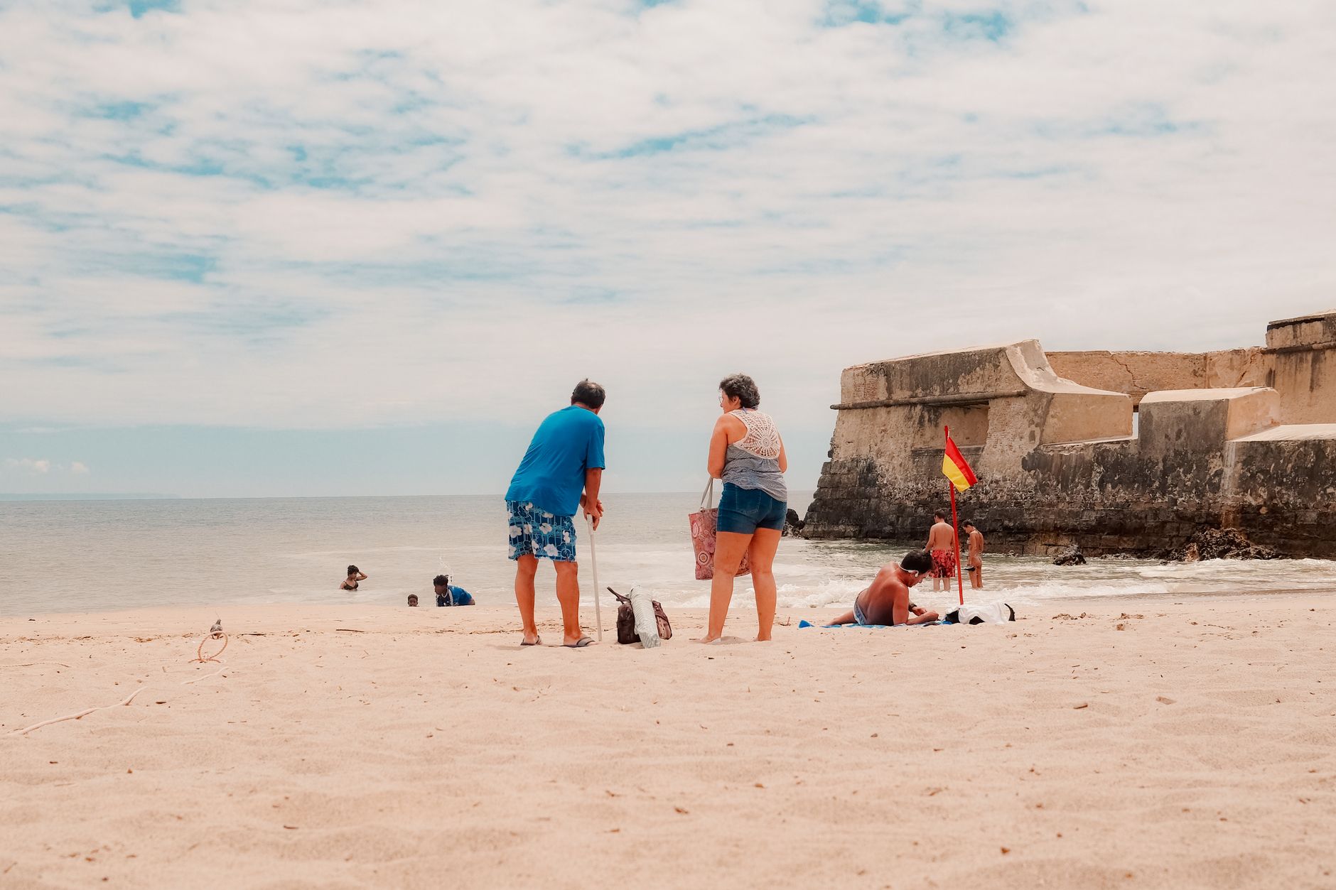
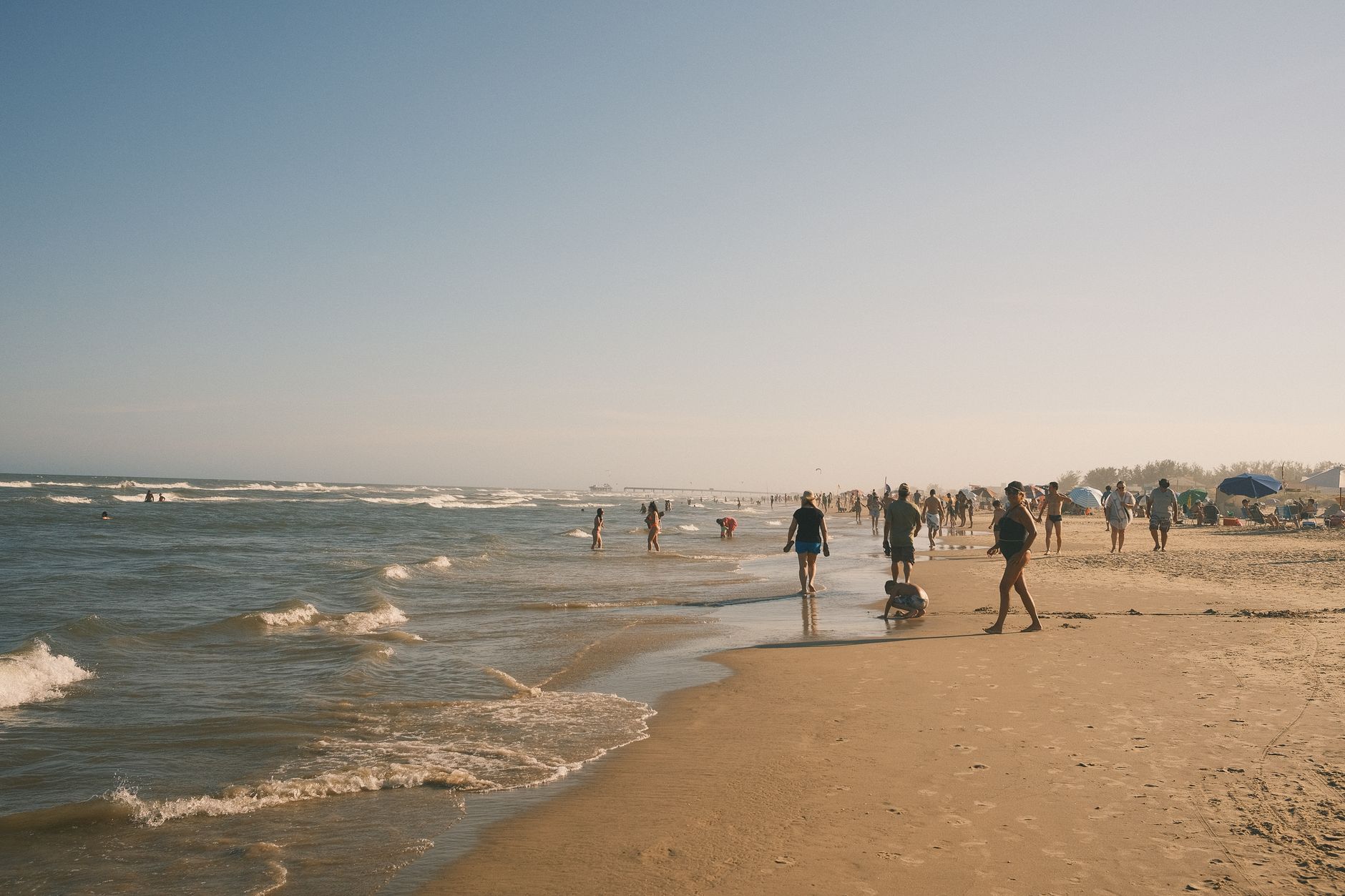
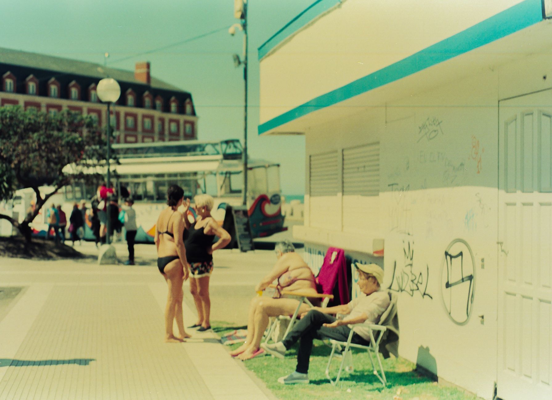
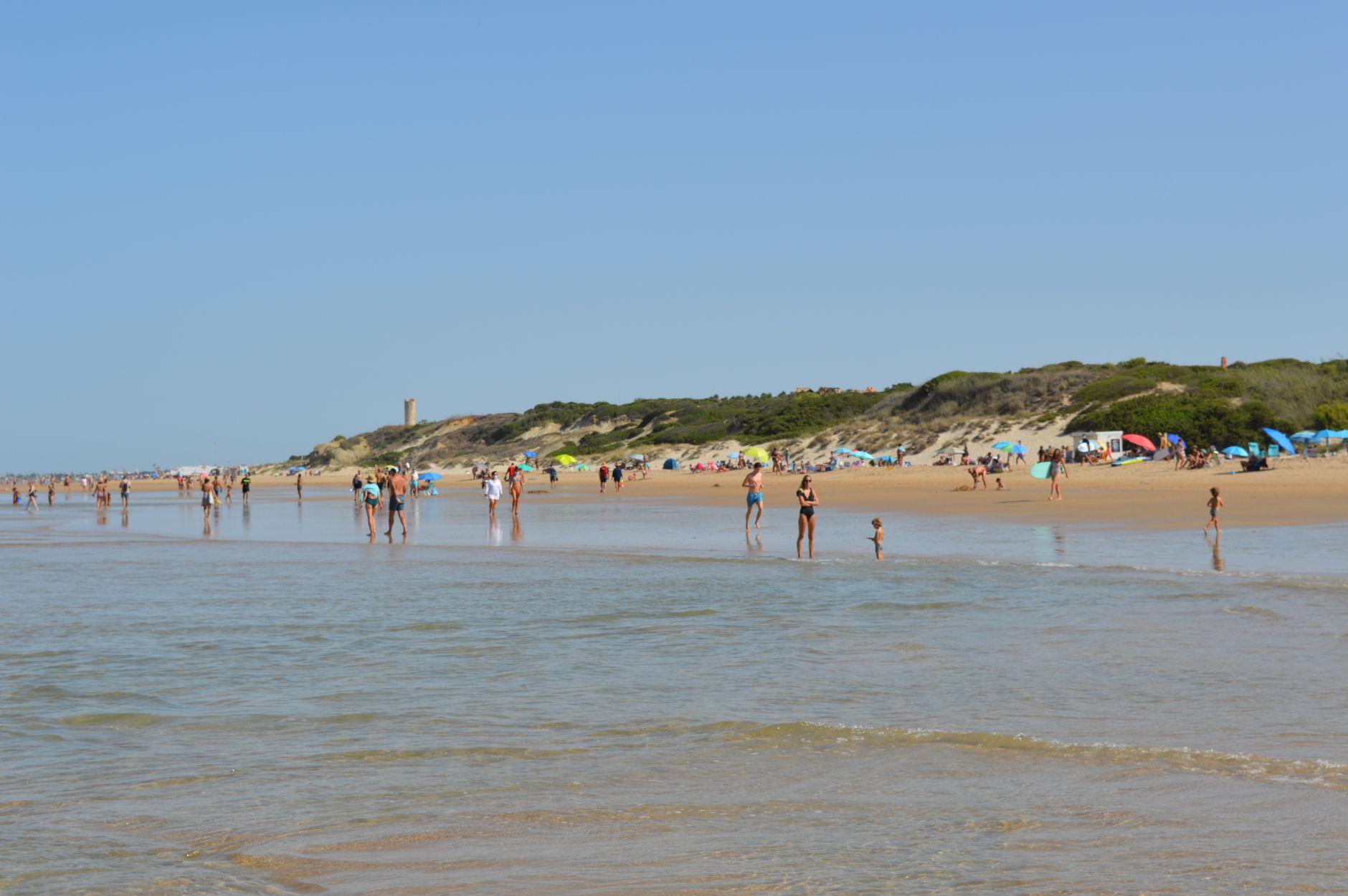

Pinamar is a city that shouldn't exist — or at least, it shouldn't look the way it does. Where there were once bare Atlantic dunes, Jorge Bunge and landowner Valeria Guerrero planted a forest, then drew streets that curve around the trees rather than cutting through them. The pines in the name are literal: they're everywhere, filtering the sea wind, keeping the low-slung villas in perpetual shade.
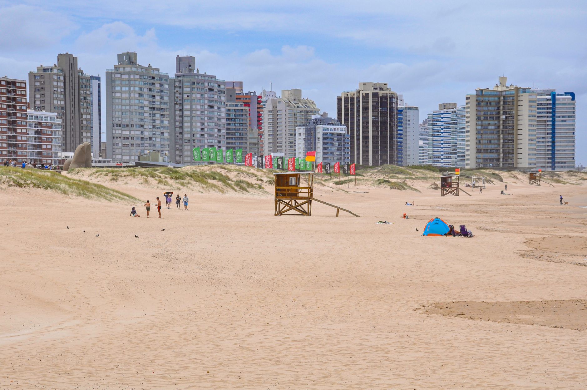
The building code here is strict enough to feel almost subversive by Argentine standards — no towers, no concrete blocks crowding the waterfront. Walk from the forest into the open beach and the contrast lands quietly: 25 kilometres of Atlantic coast, no high-rises on the horizon.
💛 What travellers fall for
People who come back tend to agree on a few things: rent a bike early in the season before the crowds arrive, find Casa Capotesta on foot and study it from the street — Clorindo Testa's Brutalist ship-on-a-dune is stranger and more beautiful in person than any photo suggests — and save the beach clubs for afternoons, when the light is right.
Deals in Pinamar
Book directly at the provider

How Pinamar came to be
The land was dunes when Jorge Bunge, an architect and urban planner, began his project in 1940. Large-scale afforestation started in 1941, and the city was officially founded in 1943 — less a discovery than a construction, built from the ground up on territory provided by Valeria Guerrero, the philanthropist landowner who made the whole enterprise possible. The Church of Our Lady of Peace and the first golf course both opened in 1945, in a city that was still more forest than town.
The train from Constitución reached Pinamar in August 1949, opening the coast to visitors who couldn't afford a car. By the 1990s, TV presenter Juan Alberto Badía had turned Pinamar into the social centre of the Argentine summer, broadcasting his radio show directly from the beach. The Partido of Pinamar became its own administrative district in 1978.
Who and what shaped it
People who shaped it
Landmark buildings
See Pinamar in motion
Plan your visit
On the map
When to go
Summer (December to March) brings averages around 20–22°C with highs nudging 26°C — warm enough for the beach without being punishing. Winter drops to 9–11°C, the forest goes quiet, and the sea temperature falls to around 10°C in August; it's a different kind of visit, but the architecture reads better without the crowds.
Right now
Background & history adapted from Wikipedia (CC BY-SA) · specs from Wikidata (CC0) · weather from Open-Meteo · map data © OpenStreetMap contributors · photos from Wikimedia Commons / Unsplash with per-image credit. No third-party reviews or social posts reproduced.