
Parklands
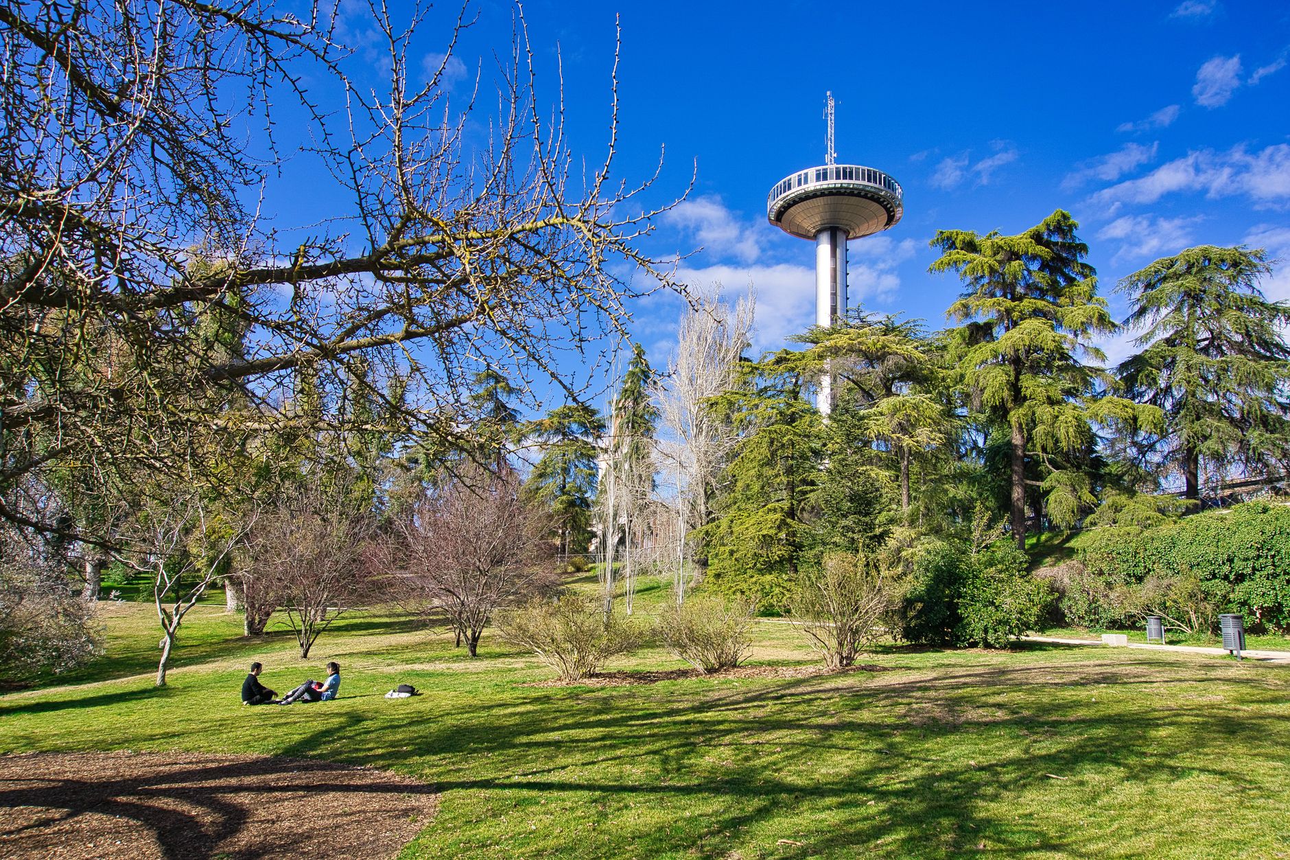
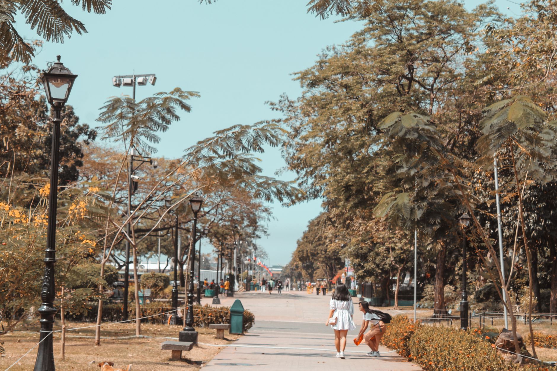
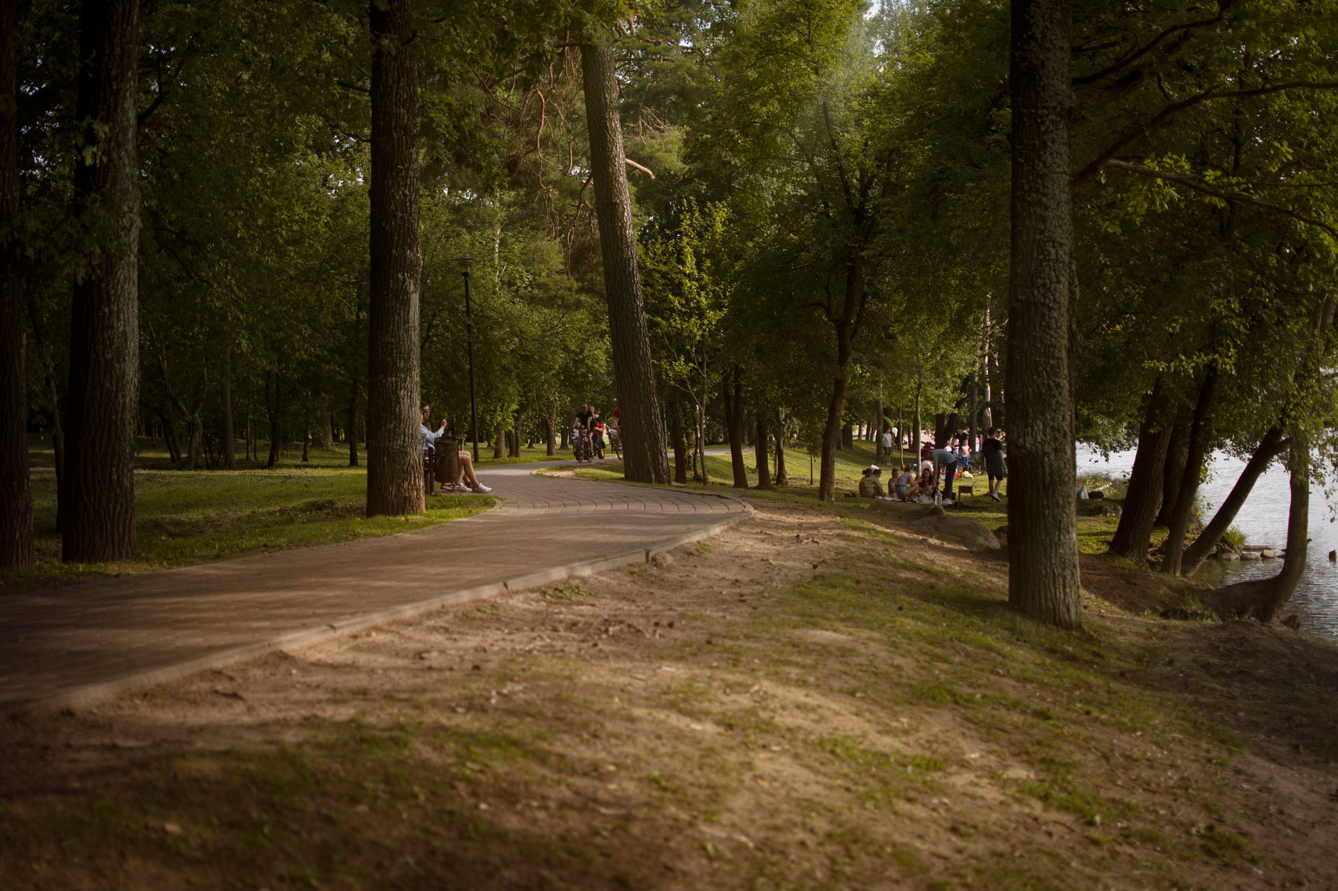
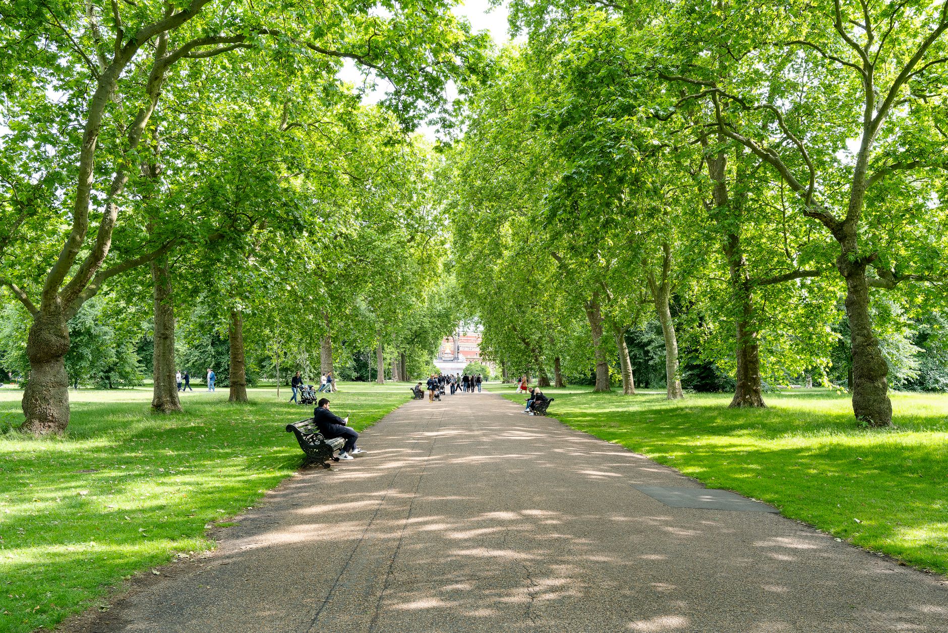
Parklands is organised around six numbered avenues, and once you know that, the neighbourhood starts to make sense — a compact grid about a kilometre across, sitting roughly five kilometres north-northwest of Nairobi's CBD. The name comes from City Park, which borders it, and the green carries into the streets: wide roads, old trees, and the kind of low-rise density that lets light in.
What you actually find here is a neighbourhood shaped by successive waves of community-building. Art Deco facades from the 1930s and 40s stand alongside Jain temples, mosques, hospitals founded mid-century, and markets selling export-grade vegetables to anyone who shows up early enough.
💛 What travellers fall for
People who come back tend to time it around the Ngara or City Park markets for produce, then walk the avenues looking at the Art Deco details — the geometric friezes, the blended motifs that don't quite match anything European or purely Indian. The Oshwal Centre is worth a slow visit even outside festival season; the Diwali crowds are another thing entirely.
Deals in Parklands
Book directly at the provider


How Parklands came to be
The British colonial government laid out Parklands in the early 1900s as a residential area for civil servants — orderly avenues cut from what had been swampy ground on the city's northern edge. A 1928 legal ruling shifted the character of the neighbourhood entirely, opening it to Asian residents at a time when such boundaries were rigidly enforced elsewhere. Indian families moved in, and through the 1930s and 40s built the Art Deco and Moderne buildings that still line the avenues today — more than fifty survive — adapting the style with motifs that reflect their own cultural inheritance.
Institutions followed. Dr. Riberio Goan School opened on its current site in 1931, later renamed Parklands School in 1965 when the Ministry of Education took it over. Aga Khan University Hospital was established in 1958. The Oshwal Centre, anchoring the Jain community, became a permanent fixture. By the second decade of the 2000s, Parklands had become a mixed commercial and residential neighbourhood — the grid intact, the community layered.
Who and what shaped it
Landmark buildings
See Parklands in motion
Plan your visit
On the map
When to go
Parklands sits at around 1,686 metres above sea level, which keeps the average temperature a mild 22°C year-round. July and August are the driest and coolest months — good for walking; April, May and November are the wettest, so carry a layer and expect afternoon downpours.
Right now
Background & history adapted from Wikipedia (CC BY-SA) · specs from Wikidata (CC0) · weather from Open-Meteo · map data © OpenStreetMap contributors · photos from Wikimedia Commons / Unsplash with per-image credit. No third-party reviews or social posts reproduced.