
Paraty
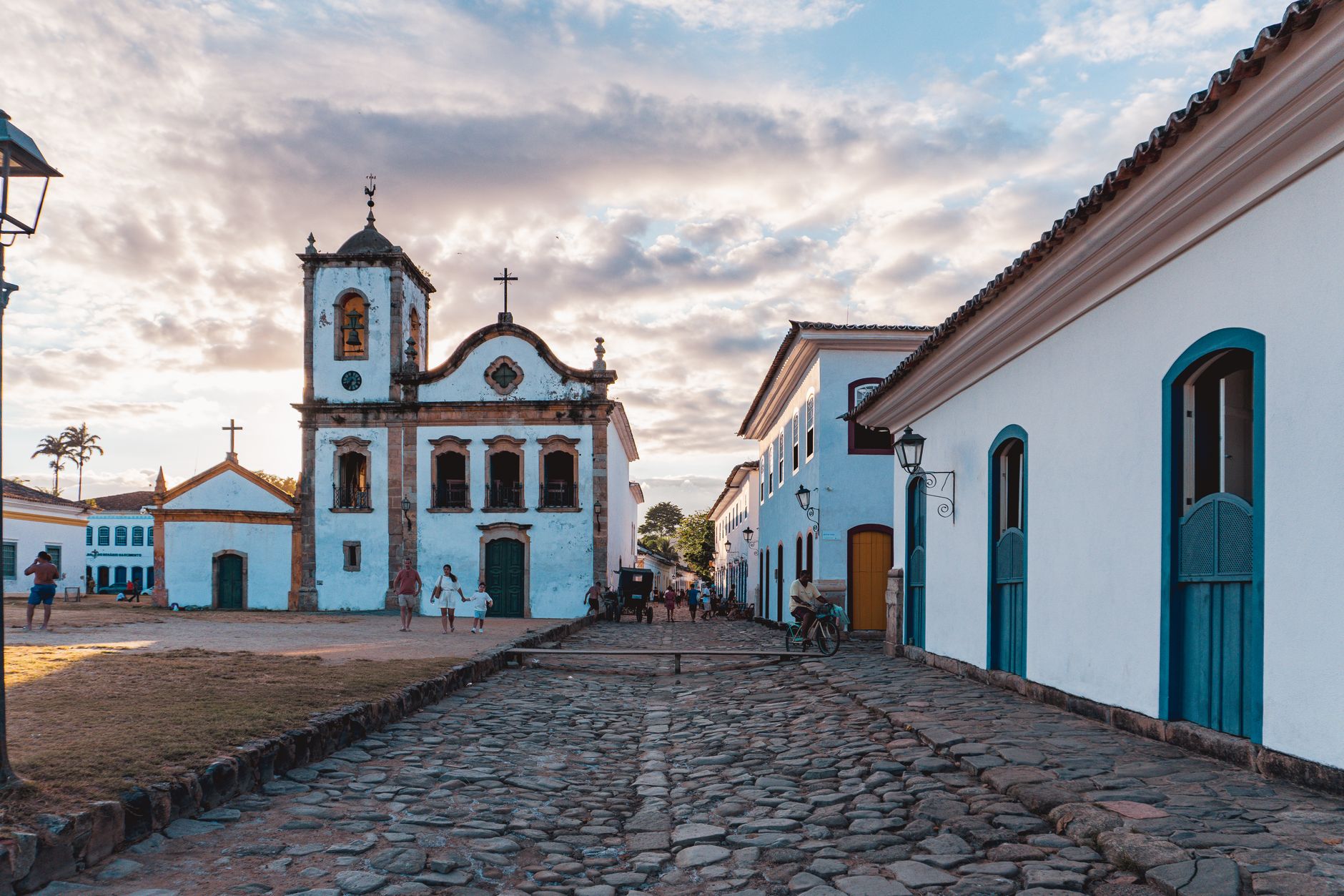
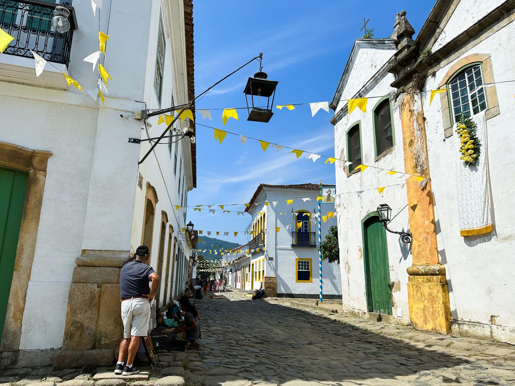
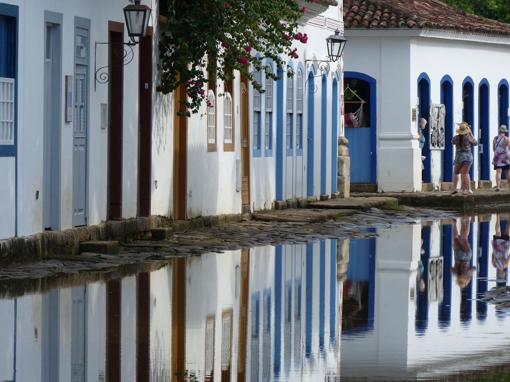
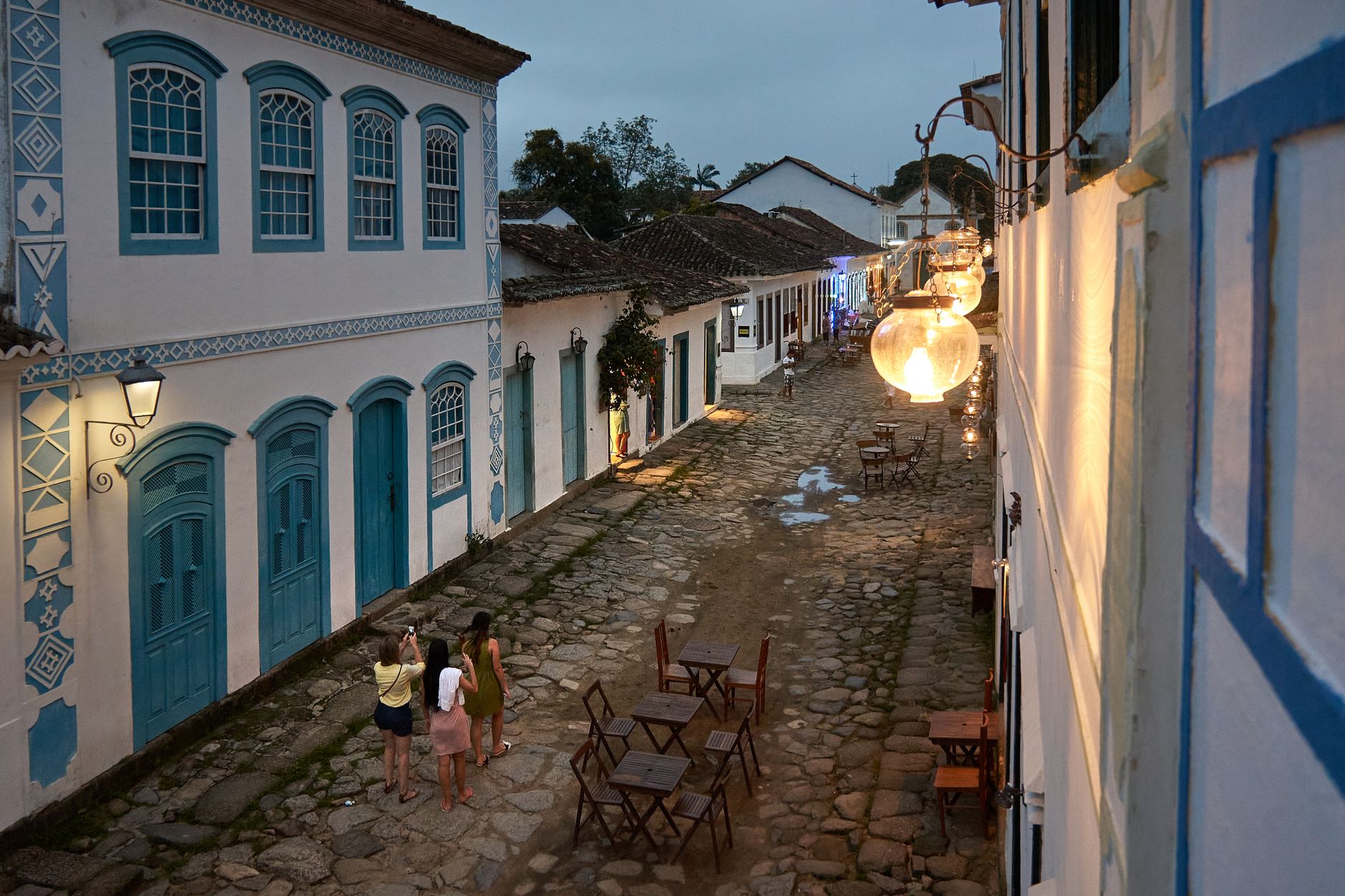
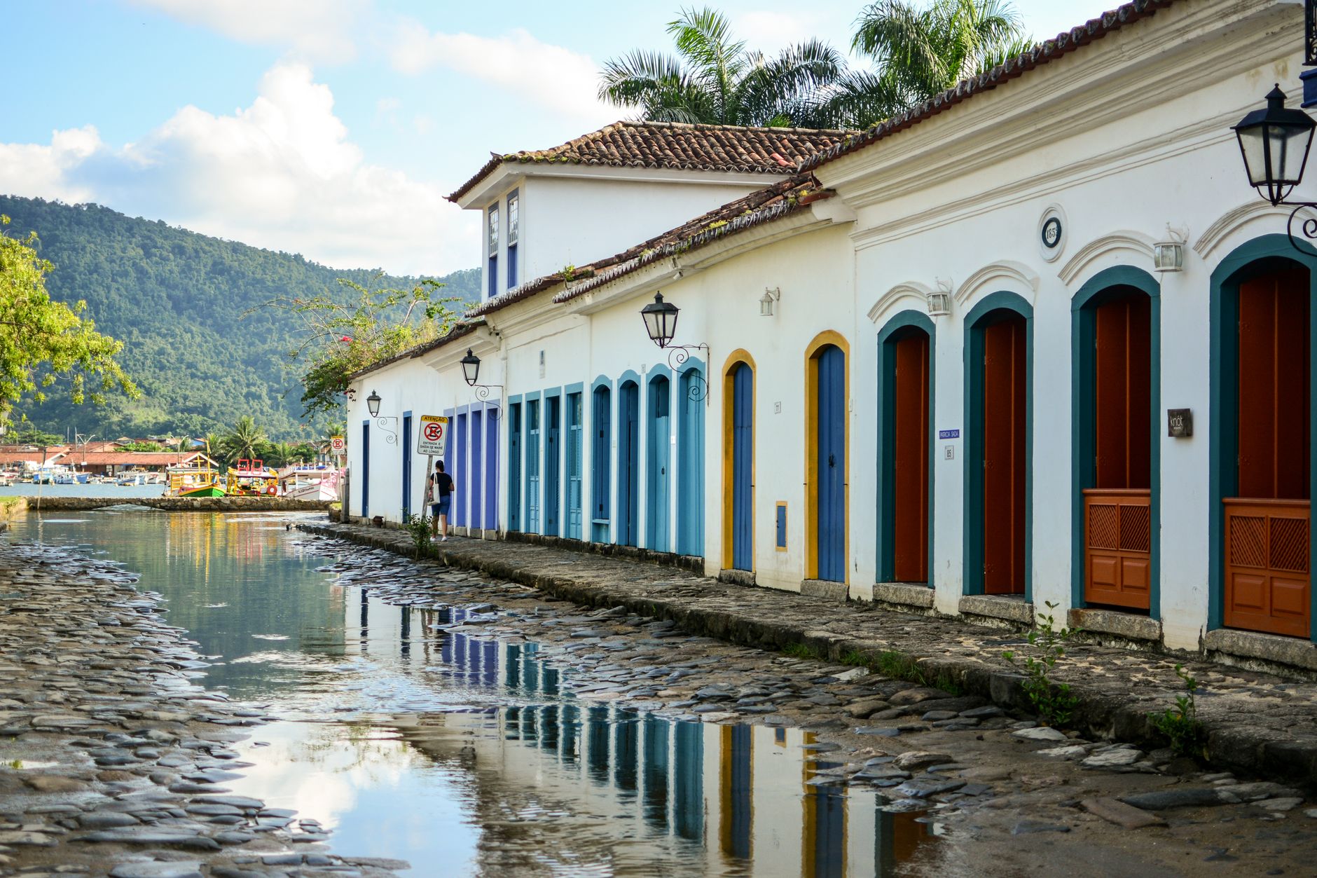
At full moon, seawater rises through openings cut into Paraty's colonial seawalls and floods the cobblestone streets to ankle depth. Residents and visitors wade through it without particular drama — it has been happening for three centuries, and the town was built to let it. That unhurried relationship with the sea runs through everything here.
Paraty sits at the base of the Serra da Bocaina on Brazil's Green Coast, its 17th-century Portuguese grid intact enough to be a UNESCO World Heritage Site. Cars are banned from the historic center. The four main colonial churches face different compass points, each built by a different social group. The cachaça made in the surrounding hills is taken seriously by the people who make it.
💛 What travellers fall for
People who come back tend to take the 40-minute bus from the Rodoviário out to Trindade — it runs every half hour and costs R$5 — rather than paying for a boat tour. They also mention the Church of Nossa Senhora do Rosário e São Benedito on quiet weekday mornings, and finding a bottle of local artisanal cachaça before leaving.
Deals in Paraty
Book directly at the provider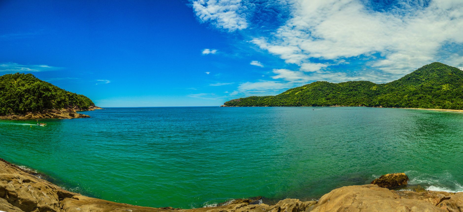


How Paraty came to be
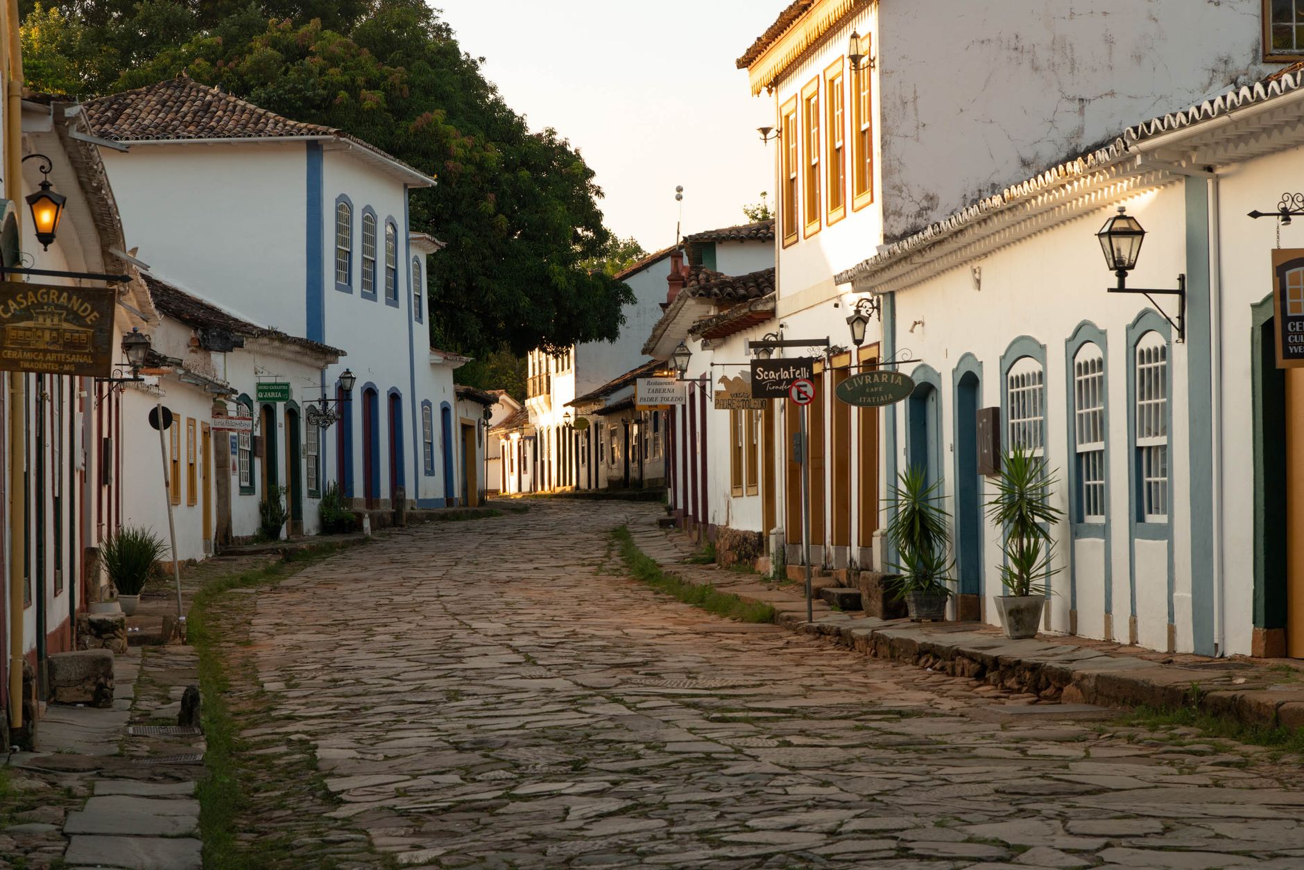
The Guaianás people named this place Paraty — 'river of fish' in Tupi — long before Portuguese colonists formally established the town in 1667. Its real transformation came after 1696, when the world's richest gold deposits were found in the Minas Gerais mountains inland. Paraty became the export gateway, and the Caminho do Ouro — a 1,200-kilometre Gold Trail connecting the port to Diamantina via Ouro Preto and Tiradentes — was cut through the mountains to move the ore.
When Portugal found a more direct route from the mines to Rio, the gold trade evaporated and Paraty turned to sugar and coffee. That wealth came at a documented cost: more than one million enslaved people passed through this port before abolition in 1888. The Church of Nossa Senhora do Rosário e São Benedito, built by enslaved Africans in 1725, and the Chapel of Saint Rita, built by free mulattos in 1722, still stand in the historic center as evidence of who actually built the town.
Who and what shaped it
People who shaped it
Landmark buildings
See Paraty in motion
Plan your visit
On the map
When to go
The dry season, roughly June through August, brings cooler nights (as low as 11°C/52°F) and manageable days — the most comfortable time to walk the cobblestones. Summer (December through February) is hot and genuinely wet, with January averaging 19 days of rain and over 220mm falling that month alone.
Right now
Background & history adapted from Wikipedia (CC BY-SA) · specs from Wikidata (CC0) · weather from Open-Meteo · map data © OpenStreetMap contributors · photos from Wikimedia Commons / Unsplash with per-image credit. No third-party reviews or social posts reproduced.