
Otranto
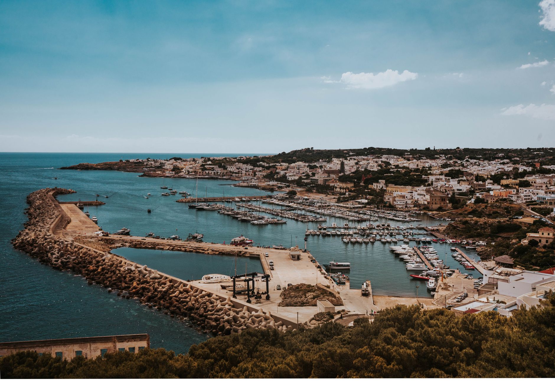
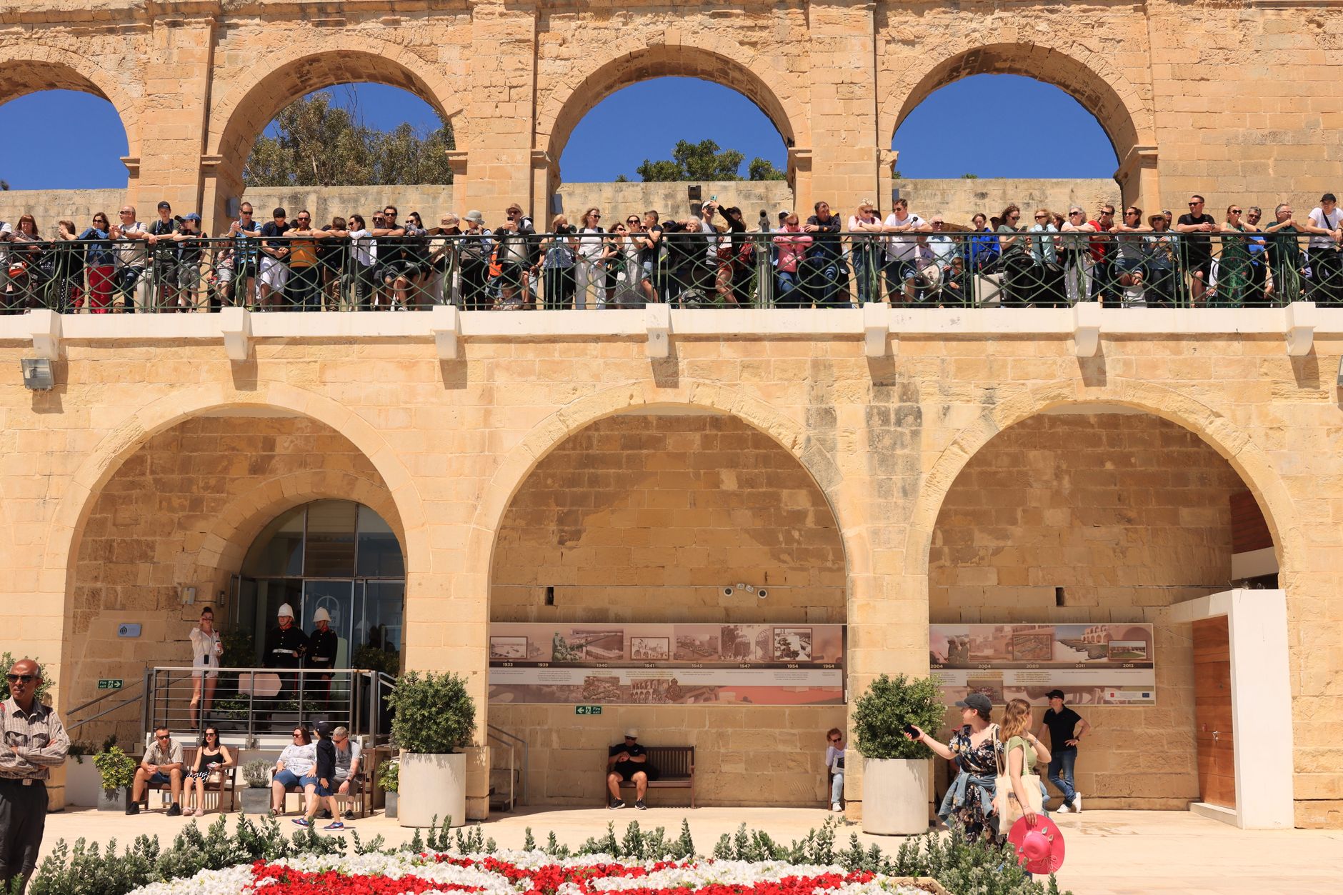
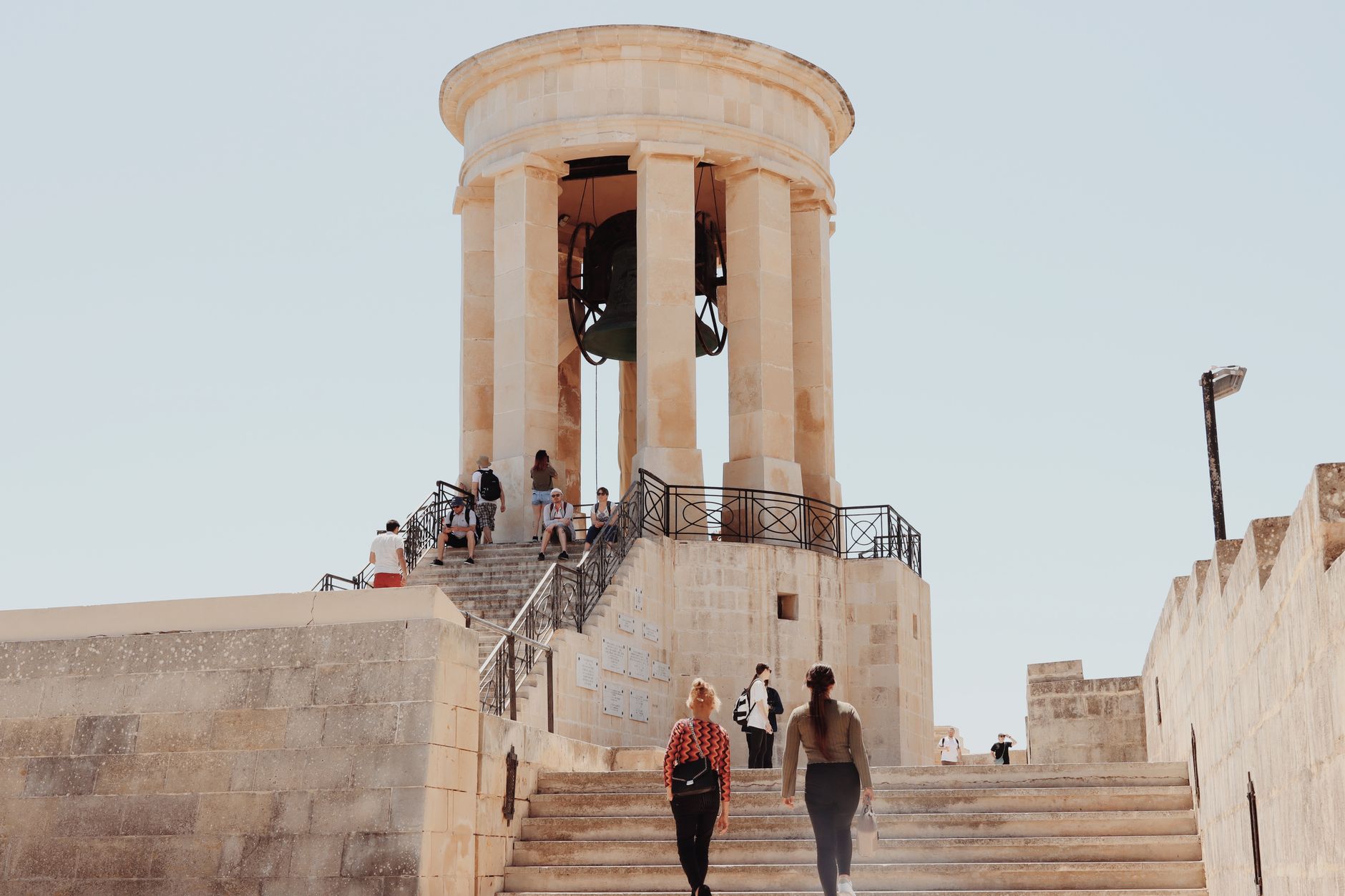
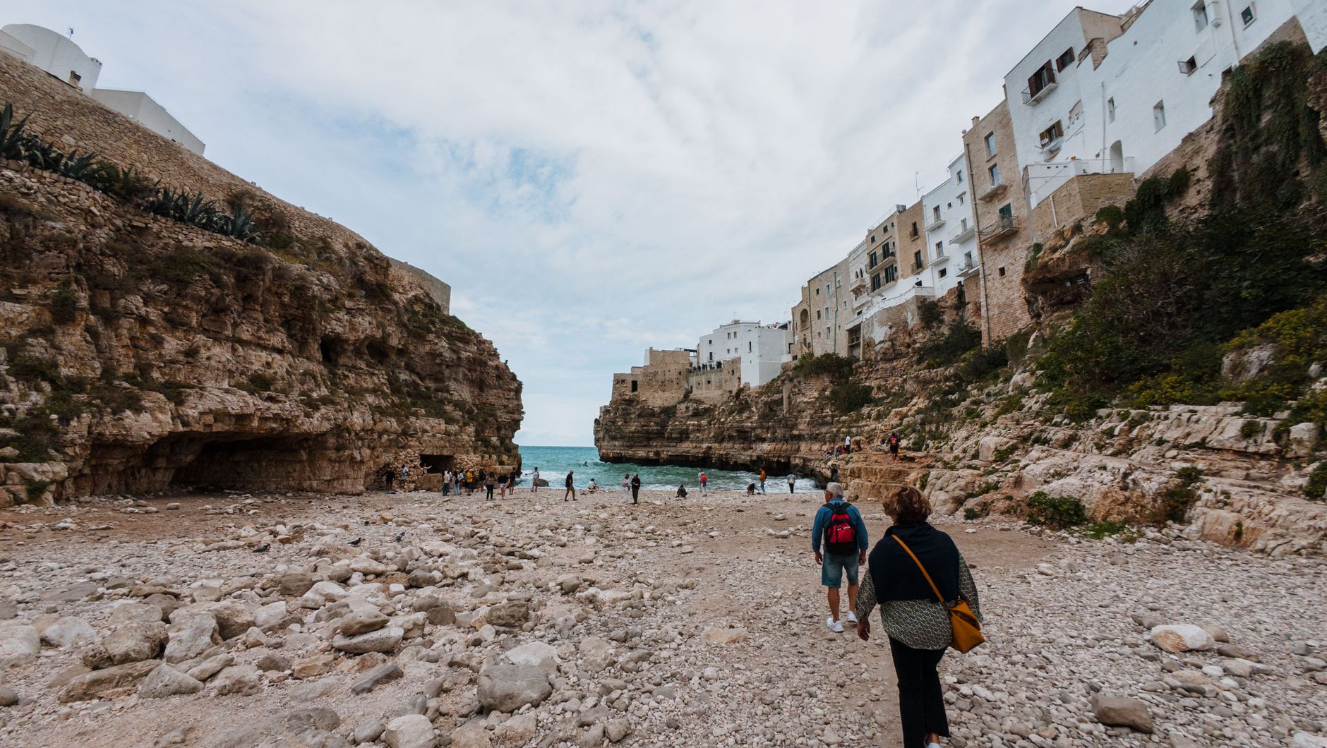
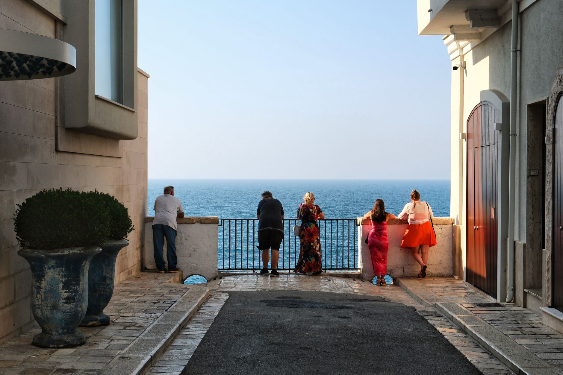
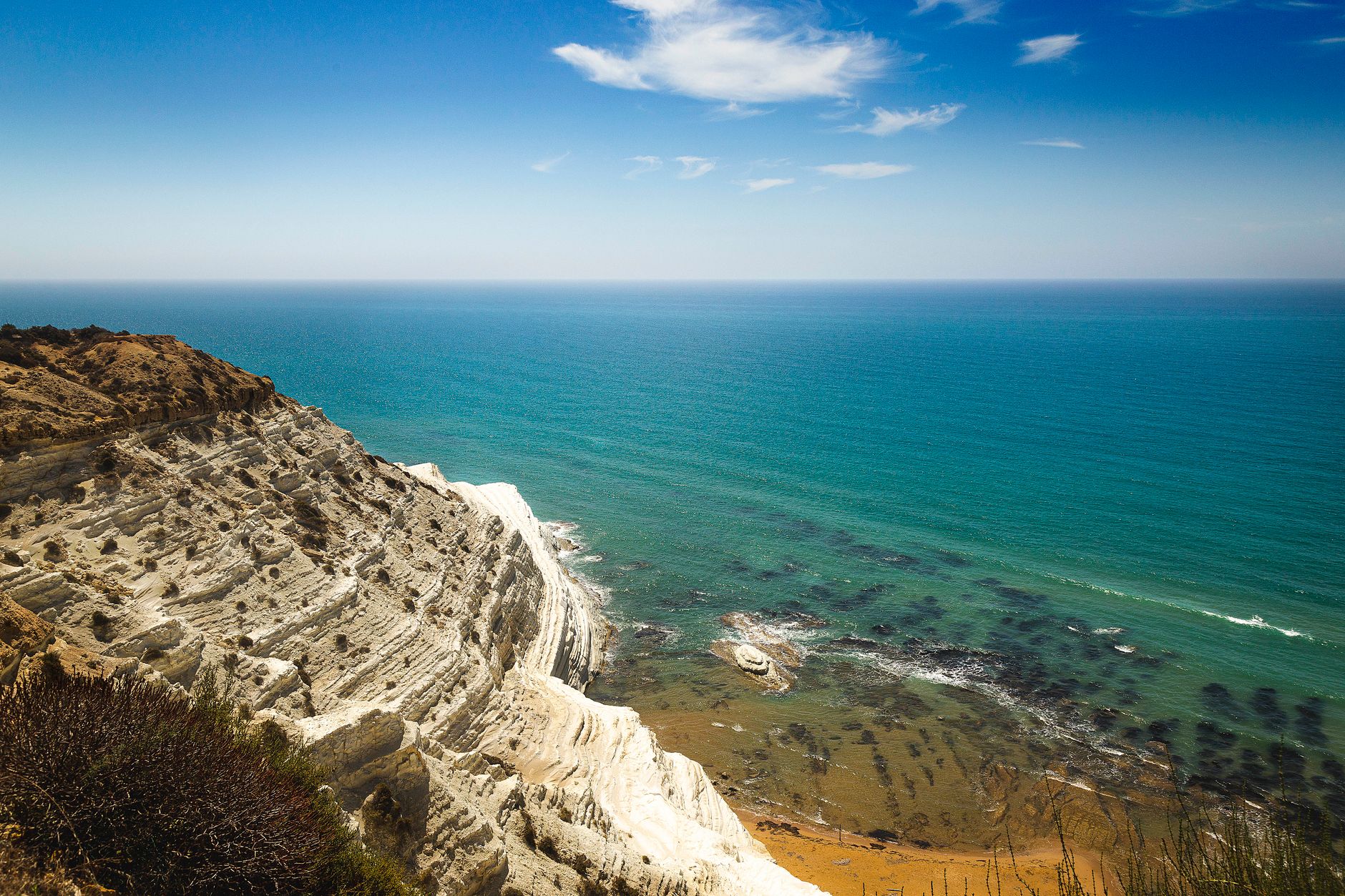
Stand at the eastern tip of the Italian heel and you are looking at Albania across 72 kilometres of open Adriatic — closer to Greece than to Rome in more ways than geography. Otranto is a small, walled port city where the streets are cut from pale limestone and the sea runs a particular shade of green that photographers keep trying, and mostly failing, to get right.
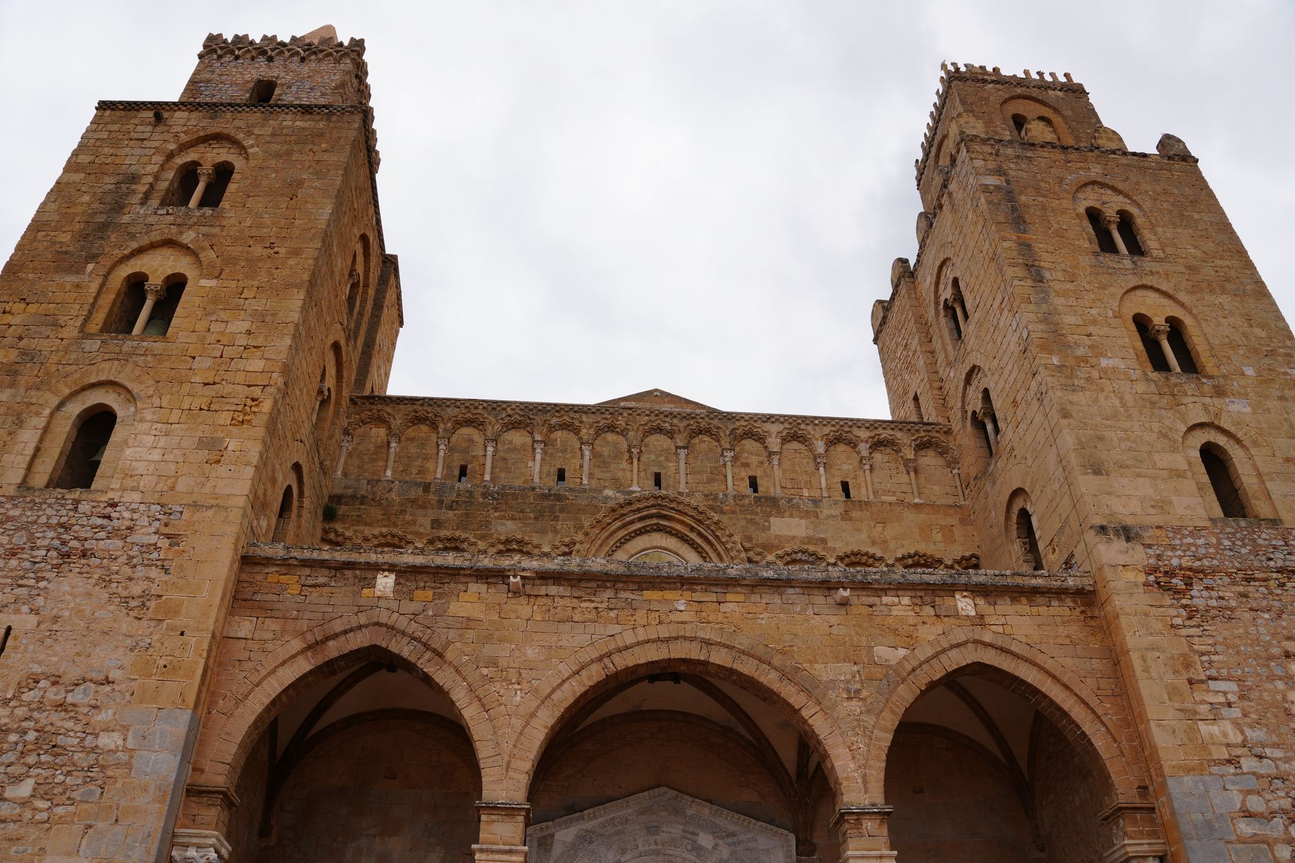
What stays with you is the weight of what happened here. The cathedral floor alone — a 12th-century mosaic stretching the full length of the nave — could occupy an afternoon. The bones of 813 townspeople, displayed in glass cases in a side chapel, make the Ottoman siege of 1480 something you cannot simply read past.
💛 What travellers fall for
People who come back tend to arrive before mid-June or after late August, when the ZTL parking restrictions ease and the alleys around the port breathe again. They walk out to the Castello Aragonese at dusk, when the tour groups have gone, and spend the next morning slowly with Pantaleone's mosaic before the cathedral fills up.
Experiences you don't want to miss




Deals in Otranto
Book directly at the providerHow Otranto came to be
The city began as the Greek Hydrus, then served Rome as a secondary port to Brindisi — the departure point for the Adriatic crossing. Norman Robert Guiscard took it in 1068, the same year Bishop William founded the cathedral that still stands. A century later, the monk Pantaleone spent two years laying the mosaic floor that remains one of Europe's largest and best-preserved medieval mosaics.
The defining rupture came on 28 July 1480, when a fleet of around 150 Ottoman ships carrying 18,000 soldiers, sent by Sultan Mehmed II, landed on the shore. After two weeks of fighting, 813 survivors refused to convert to Islam and were executed on the Hill of Minerva on 14 August. The Ottomans held the city for 13 months before withdrawing on 11 September 1481. Those killed were canonised by Pope Francis in 2013. Otranto never regained its former regional importance, though the town's slow revival began when Puglia joined the Italian Kingdom in 1860.
Who and what shaped it
People who shaped it
Landmark buildings
See Otranto in motion
Plan your visit
On the map
When to go
Summers are long, hot and dry — July and August bring temperatures above 30°C and the town fills considerably. Spring (April to early June) and September offer warm, clear days without the crowds; winters are mild but many businesses reduce hours or close entirely.
Right now
Background & history adapted from Wikipedia (CC BY-SA) · specs from Wikidata (CC0) · weather from Open-Meteo · map data © OpenStreetMap contributors · photos from Wikimedia Commons / Unsplash with per-image credit. No third-party reviews or social posts reproduced.