
Ollantaytambo
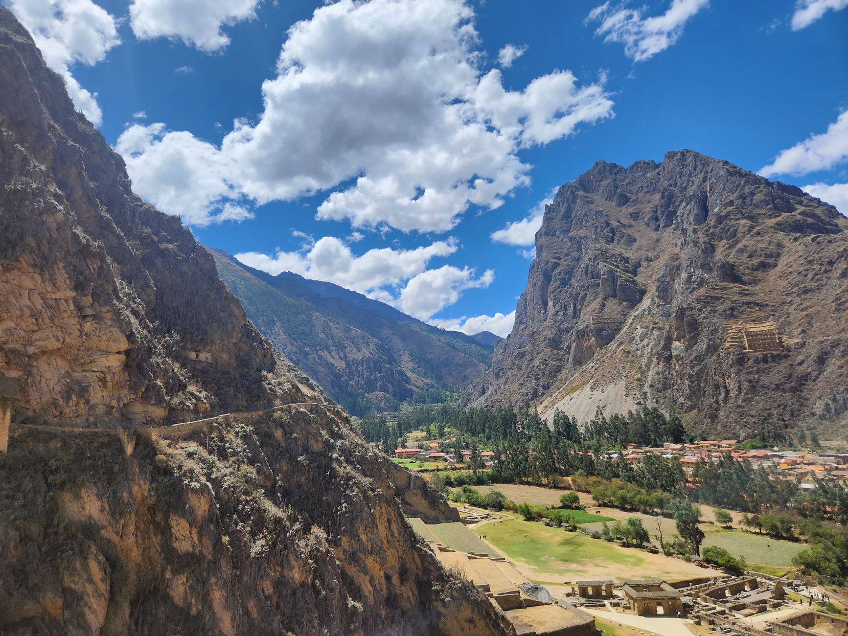
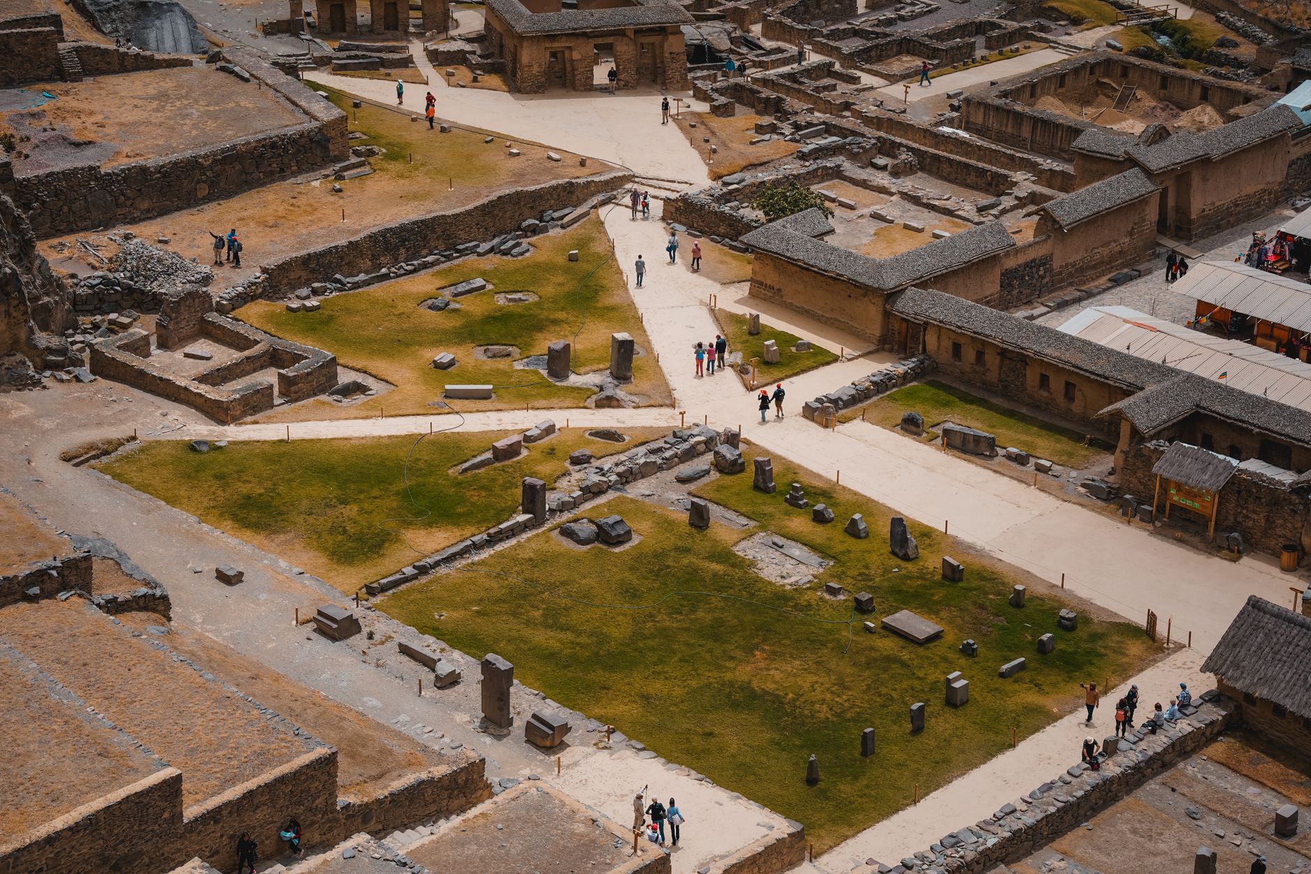
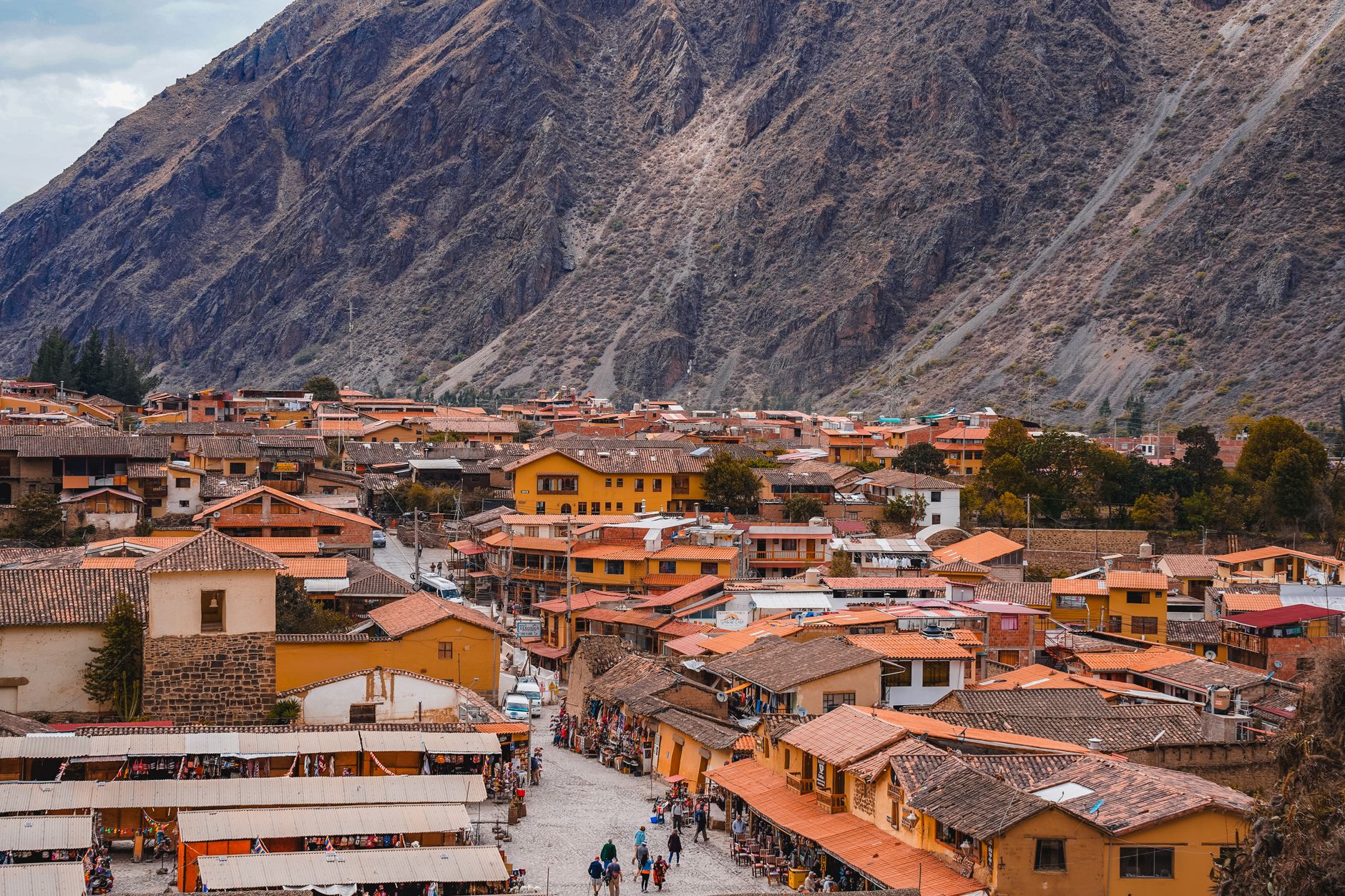
At 2,792 metres above the Sacred Valley floor, Ollantaytambo is the only place in Peru where you can walk streets that were laid out and lived in during Inca times — the same narrow stone channels still carry water along the same channels Pachacuti's engineers cut in the fifteenth century. The ruins above town are not a distant skyline but a vertical wall of terraces that rises directly from the plaza, close enough that you can watch the light shift across the pink rhyolite blocks from your breakfast table.
The town is also the last stop before the train to Machu Picchu, which means many people pass through without slowing down. That's worth knowing — and worth ignoring.
💛 What travellers fall for
People who come back tend to arrive early, before the tour groups, when the site opens at seven and the terraces are still in shadow. They also mention the Callejón — the long sunken corridor between the terraces — which most visitors walk past without realising it runs nearly 700 metres and sits up to 15 metres below the surrounding ground, warm and windless even in the dry-season cold.
Deals in Ollantaytambo
Book directly at the provider

How Ollantaytambo came to be
The site has human history stretching back to the Huari civilisation (600–1000 AD), but the town as it stands was a deliberate act of imperial will. Around the mid-fifteenth century, the Inca emperor Pachacuti conquered an existing settlement here, razed it, and built something grander in its place — a royal estate with fine stonework, an elaborate irrigation network, and agricultural terraces farmed by retainers of the crown. The town quartered Inca nobility; the valley below fed them.
A century later, Ollantaytambo became a site of a different kind of history. After the Spanish conquest, the resistance leader Manco Inca made it his temporary capital. In 1537, on the plain of Mascabamba nearby, he defeated a Spanish expedition by controlling the high terraces and flooding the plain below — one of the few clear Inca military victories of the conquest. He withdrew the following year to Vilcabamba, and by 1540 the town's population had been assigned in encomienda to Hernando Pizarro.
Who and what shaped it
People who shaped it
Landmark buildings
See Ollantaytambo in motion
Plan your visit
On the map
When to go
The dry season runs roughly May through October — cool nights, clear days, and the best visibility for the ruins. The wet season (November through April) brings afternoon rain and occasional cloud, but also greener terraces and far fewer visitors; mornings are usually clear enough to climb.
Right now
Background & history adapted from Wikipedia (CC BY-SA) · specs from Wikidata (CC0) · weather from Open-Meteo · map data © OpenStreetMap contributors · photos from Wikimedia Commons / Unsplash with per-image credit. No third-party reviews or social posts reproduced.