
O Grove
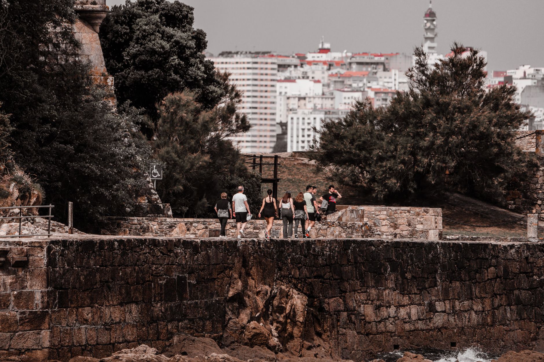
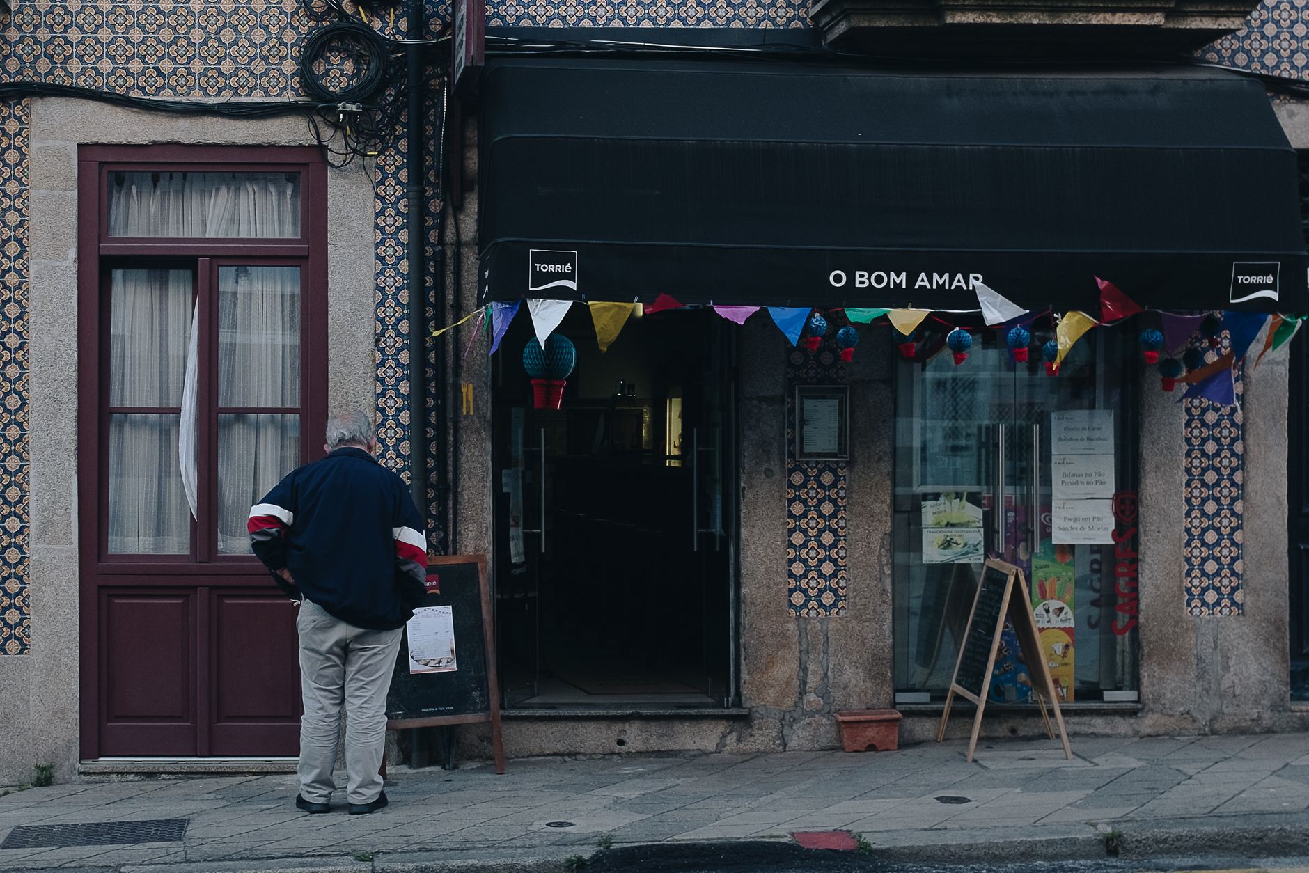
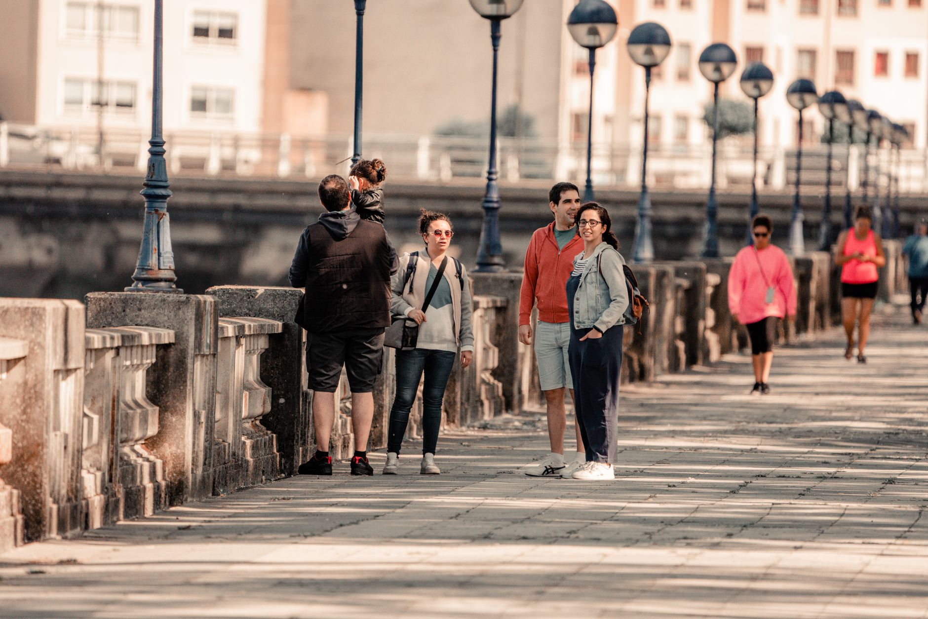
O Grove sits at the end of a peninsula in the Rías Baixas, connected to the mainland by a long sand isthmus that south-westerly winds have spent centuries building. It was, until that slow geology intervened, an island — and something of that separateness lingers. The port still fills with many-coloured fishing boats, and the economy runs on what comes out of the water: mussels and oysters grown on wooden platforms in the estuary, scallops, shellfish gathered by hand.
This is a working seafood town with around eleven thousand people and a market near the port where locals buy what the boats brought in. The Arousa estuary wraps around it on one side; the open Atlantic beach of A Lanzada stretches along the other, with the island of Ons visible on clear days from the viewpoint at A Siradella.
💛 What travellers fall for
People who come back tend to time it around the Festa do Marisco in early October — the seafood festival holds National Tourist Interest status, and the prices in town stay reasonable long after the crowds thin. The Mercado Municipal near the port is worth an early morning, and the wooden walkway at Pedras Negras in San Vicente do Mar is the kind of walk you end up doing twice.
Experiences you don't want to miss


Deals in O Grove
Book directly at the provider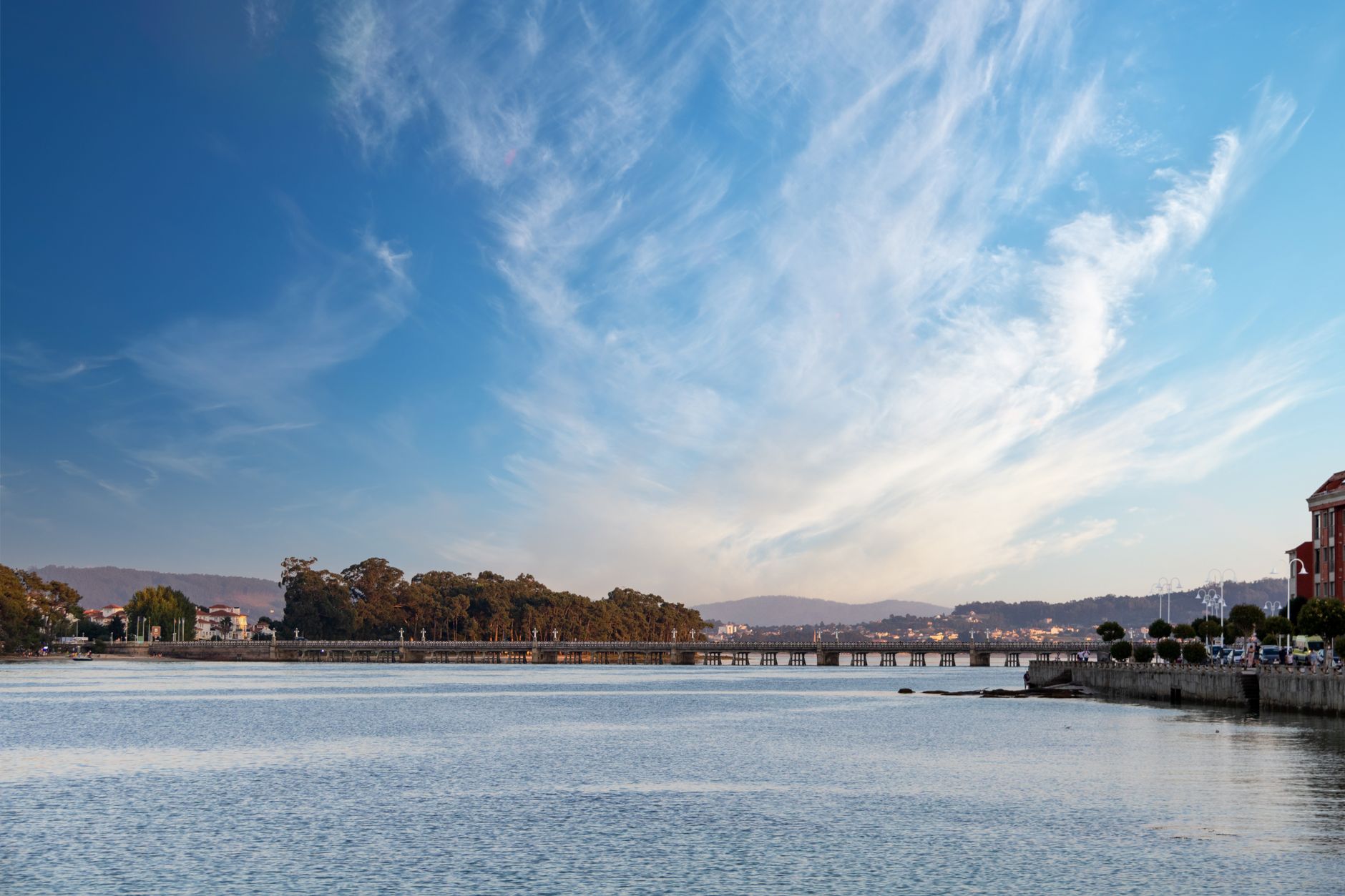
How O Grove came to be
The name appears in a Latin document from 899 — 'Ograbe,' in a reference to St. Vincent of O Grove — but people have lived here for more than three thousand years, since the Bronze Age. The medieval settlement was largely agrarian, but by the sixteenth century O Grove had developed a serious seafaring tradition, and the seventeenth and eighteenth centuries consolidated an economy built on fishing and salt production. The Museo da Salga preserves that chapter: the fish-salting process that kept the town's catch moving through trade routes.
The layers go deeper at Carreiro beach, where excavations have revealed a Roman villa from the fifth century, a Visigothic church, and a medieval fortification built after the twelfth century. The Fortaleza da Lanzada, raised in 960, still stands in part — one tower and a hermitage that was once its chapel.
Who and what shaped it
Landmark buildings
See O Grove in motion
Plan your visit
On the map
When to go
Summers are mild rather than hot, with August daytime highs around 24°C and long July days carrying over ten hours of sun; the sea reaches its warmest in September at around 18°C, which makes late summer the most comfortable window for combining beach and water. Winter is wet — November alone averages 212 mm of rain over nineteen days — and while the landscape turns dramatically green, you'll want to plan around the grey.
Right now
Background & history adapted from Wikipedia (CC BY-SA) · specs from Wikidata (CC0) · weather from Open-Meteo · map data © OpenStreetMap contributors · photos from Wikimedia Commons / Unsplash with per-image credit. No third-party reviews or social posts reproduced.