
Nördlingen
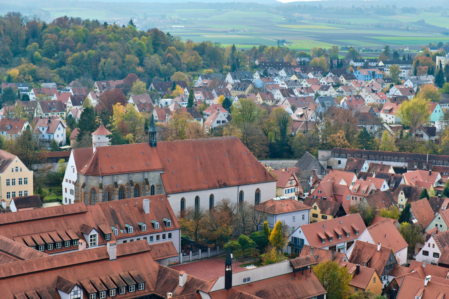
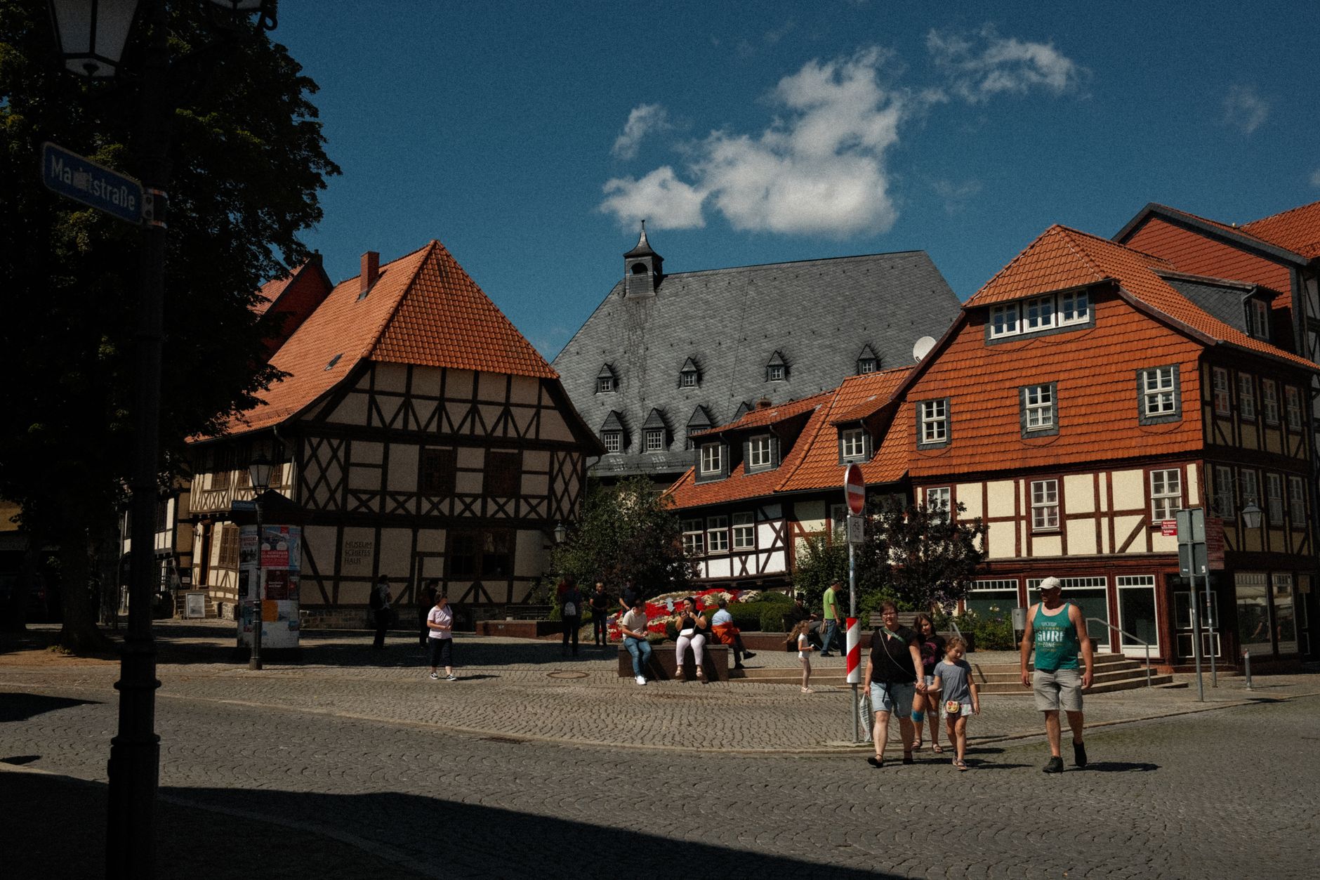
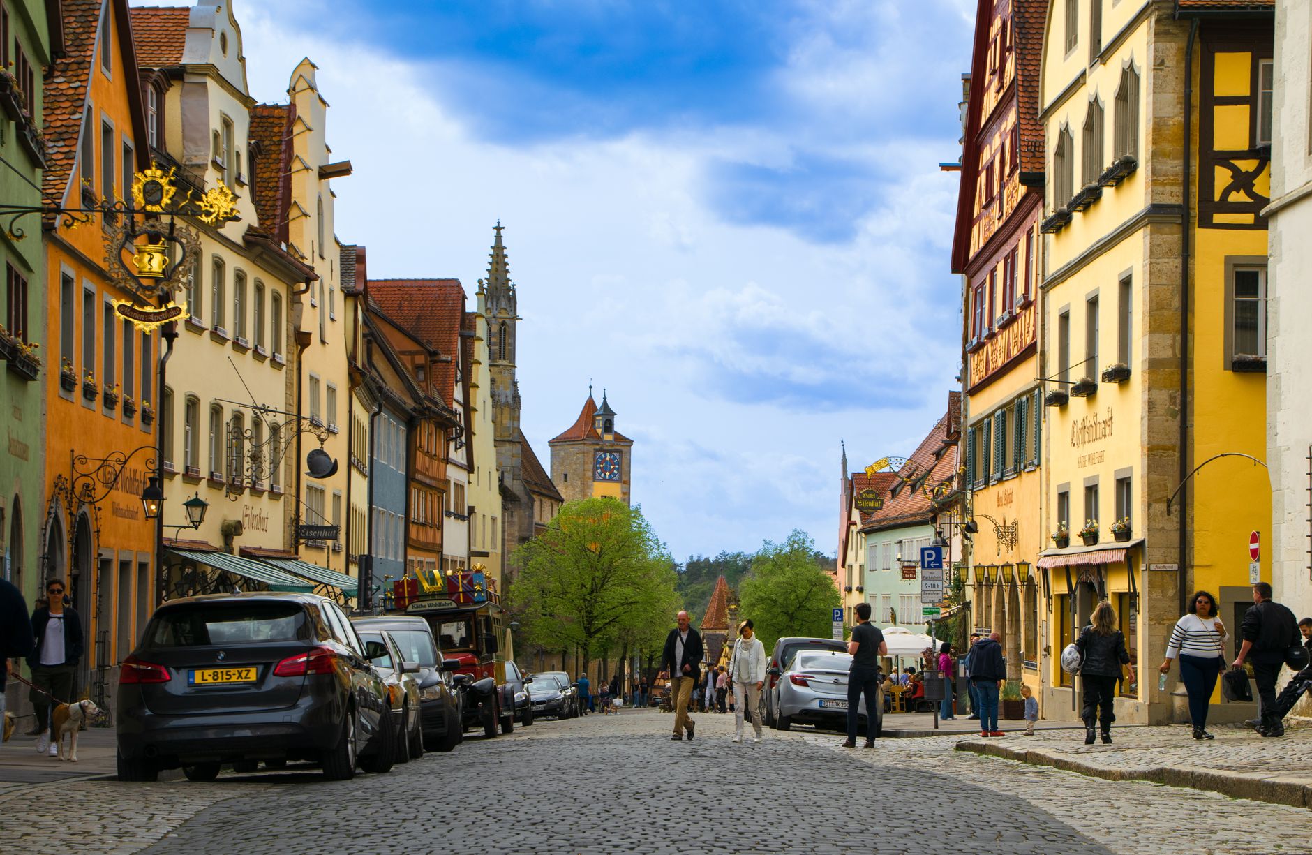
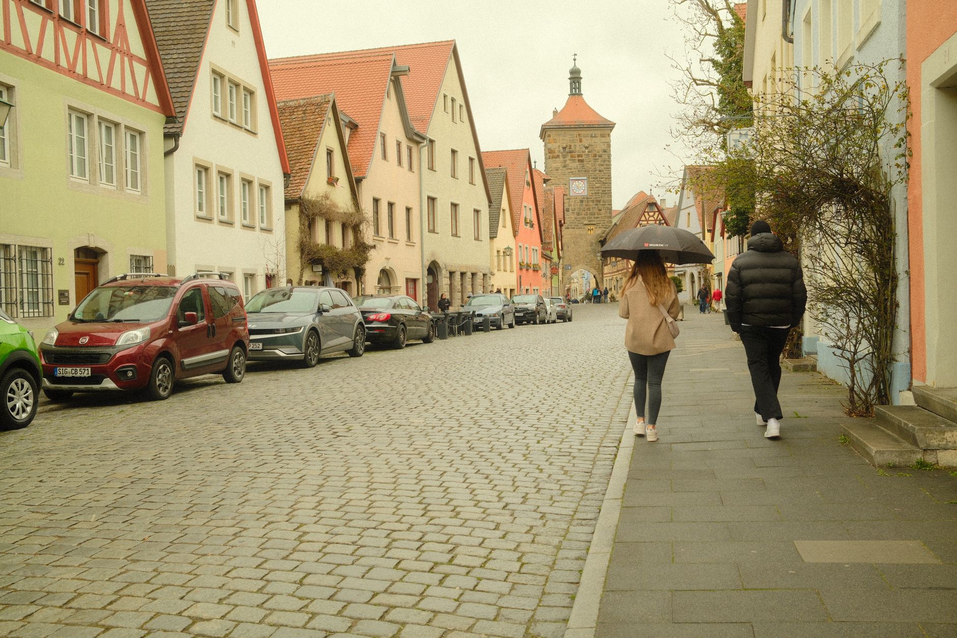
Nördlingen sits inside a near-perfect circle — not a metaphor, but geology. The town occupies the floor of a meteor crater formed some 14.5 million years ago, and the stone that makes up its greatest church, St. George's, was quarried from the crater itself: suevite, a compressed breccia of shocked quartz and glass fused by the impact. You can walk the full 2.6-kilometre circuit of the medieval walls without once leaving the ground level, passing five gates and twelve towers on the way.
From the top of the Daniel — the 90-metre tower of St. George's, 350 steps up — the circular shape of the town below you is unmistakable, ringed by walls that have stood essentially intact since 1327. A watchman still calls out from up here between ten and midnight, the same words that tradition traces back to 1440.
💛 What travellers fall for
People who come back tend to go straight up the Daniel on arrival — €4, worth every step — and then walk the full wall circuit before doing anything else. The tanners' quarter along the Eger, with its wooden drying galleries still in place, gets mentioned often as the part of town that doesn't feel staged.
Deals in Nördlingen
Book directly at the provider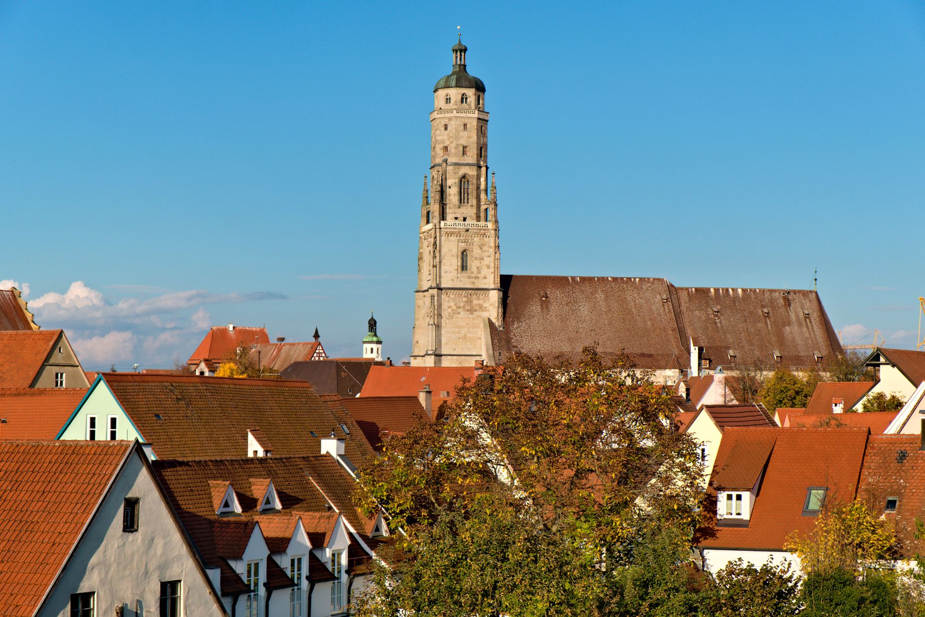
How Nördlingen came to be
The town appears in Carolingian records as early as 898, when it was a seat of the Bishop of Regensburg. Emperor Frederick II granted city rights in 1215, and the current circular wall — expanding the walled area fourfold — was completed in 1327. The Pentecost Fair dates to at least 1219, making it one of the longer-running folk festivals on the Romantic Road.
The Thirty Years' War hit hard: the first Battle of Nördlingen in 1634 brought siege, hunger and disease that killed more than half the population. The Second World War caused less structural damage — most of the historic district survived — though St. George's Church was badly hit in the spring 1945 air raids that also destroyed the train station. More than 4,500 people resettled here in the postwar years.
Who and what shaped it
People who shaped it
Landmark buildings
See Nördlingen in motion
Plan your visit
On the map
When to go
Southern Bavaria brings cold winters and warm, occasionally thundery summers; the walls and open crater plain mean wind is a factor year-round. Spring and early autumn give you the clearest light for the views from the Daniel without high-summer crowds.
Right now
Background & history adapted from Wikipedia (CC BY-SA) · specs from Wikidata (CC0) · weather from Open-Meteo · map data © OpenStreetMap contributors · photos from Wikimedia Commons / Unsplash with per-image credit. No third-party reviews or social posts reproduced.