
Navia
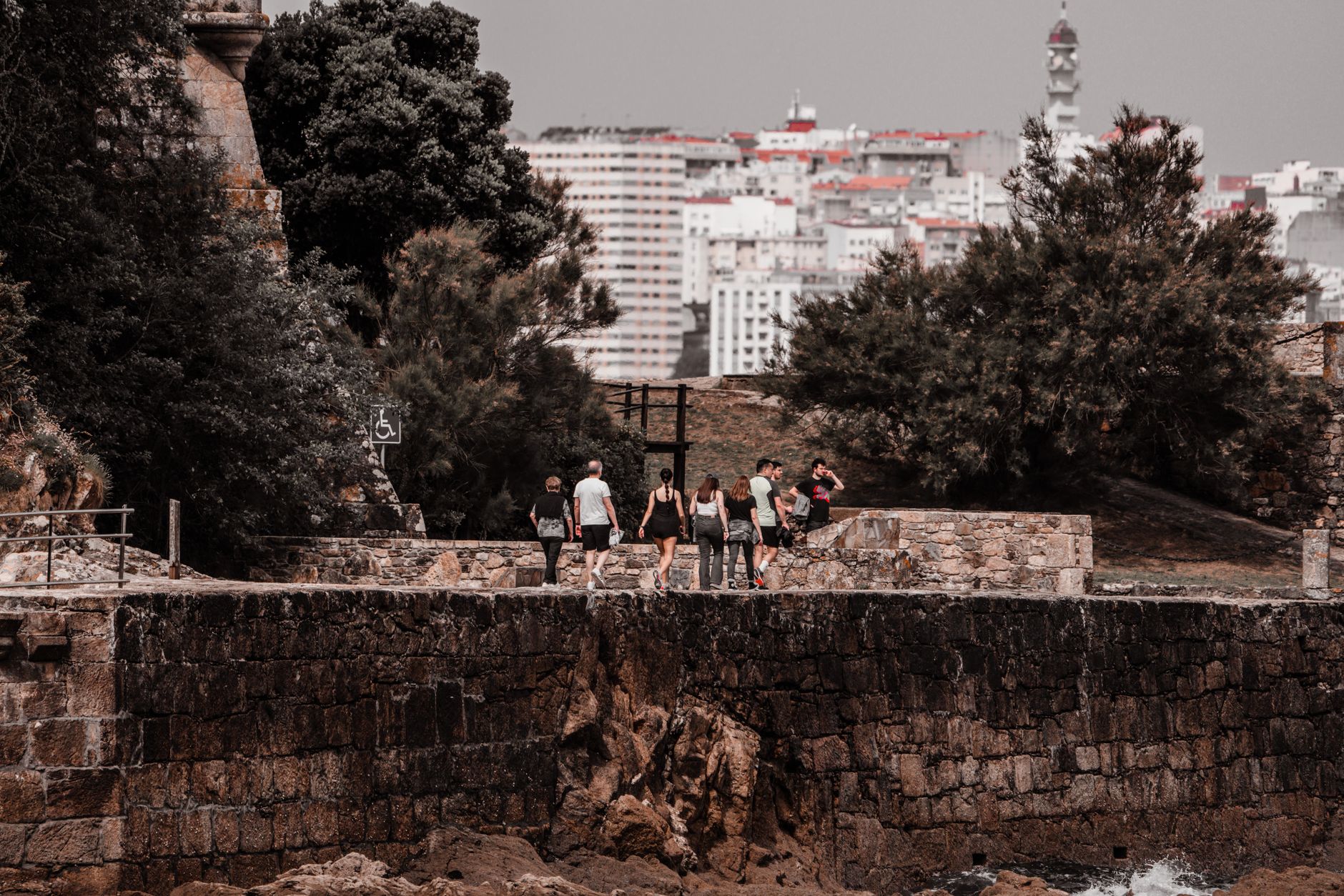

The river that gave Navia its name carries a pre-Roman, Celtic weight — it was sacred water, a boundary, and eventually a lure for Roman gold-seekers. That layering is still visible if you know where to look: a scrap of 16th-century wall on Mariano Luiña street, a neo-Gothic church rising where a medieval one stood, Indiano mansions with wide balconies along Ramón Álvarez Valdés Avenue, built by men who crossed the Atlantic and came home with money and ambition.
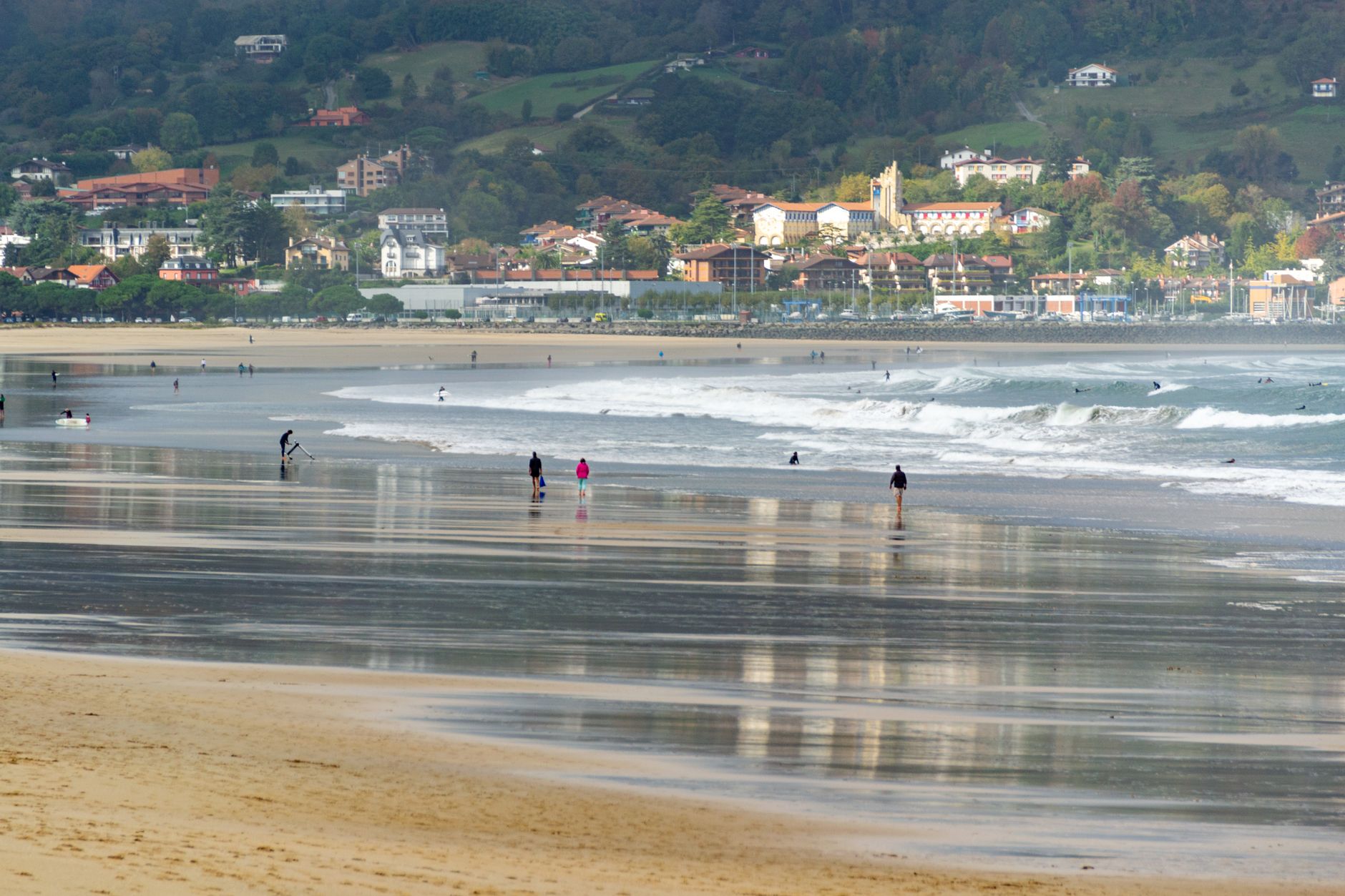
The estuary runs navigable for four kilometres, and the port mixes fishing boats with sailboats and the occasional tugboat in the way of working harbours that haven't been tidied up for tourists. The beach is 360 metres of sand a short walk from the old streets, backed by a pine forest and a lake.
💛 What travellers fall for
People who return tend to anchor themselves to the port early in the morning, when the fishing boats are back and the day is still quiet. The oldest streets — Las Armas, Real, San Francisco — reward a slow circuit. If you get a clear afternoon, the road out to Frexulfe beach in Piñera, declared a natural monument, is worth the detour.
Experiences you don't want to miss


Deals in Navia
Book directly at the provider
How Navia came to be
The name Navia traces to a Celtic water deity, and the river it describes once marked the frontier between two peoples — the Albiones to the west and the Asturians to the east. Settlements appear from around the 5th century BC. Romans came later, drawn by gold in the river sands. What followed was the slow accumulation of a fishing and trading town, protected in the 16th century by a walled enclosure built against corsair raids through the estuary.
That wall came down in the mid-19th century as the town modernised. The most visible chapter of that change was funded by returning emigrants — Indianos who had made their fortunes in the Americas. By the early 20th century their money had built schools, roads, the Casino (1922), and the elegant residential avenue that still defines the town centre.
Who and what shaped it
People who shaped it
Landmark buildings
See Navia in motion
Plan your visit
On the map
When to go
Navia is Atlantic coast: mild and damp in every season, with high humidity year-round and annual rainfall around 1,280 mm. July and August are the driest months and the most practical for the beach — sea temperatures reach 19–20°C — but even then, expect some grey days. Winter is cool rather than cold, averaging around 13°C, with short daylight hours and November the wettest month.
Background & history adapted from Wikipedia (CC BY-SA) · specs from Wikidata (CC0) · weather from Open-Meteo · map data © OpenStreetMap contributors · photos from Wikimedia Commons / Unsplash with per-image credit. No third-party reviews or social posts reproduced.