
Nakameguro
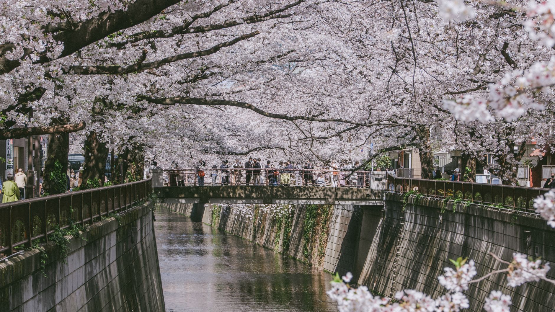
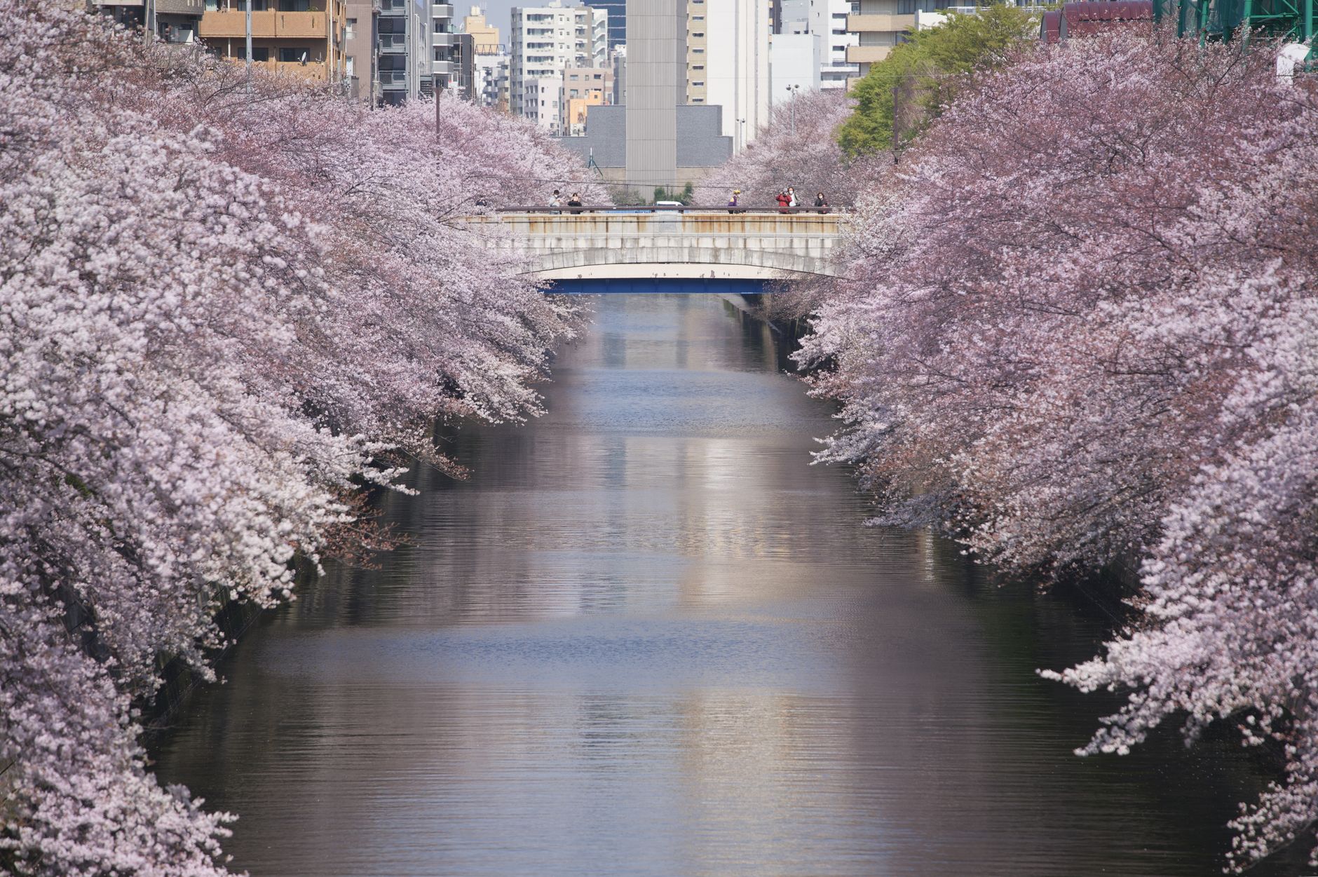
The Meguro River is technically a canal — narrow, concrete-banked, lined with 800 cherry trees that, for two weeks in late March and early April, turn the whole corridor pink. The rest of the year, the same stretch runs quieter: independent coffee shops and small-plate restaurants occupy the ground floors of low buildings, and the water reflects whatever light the season offers.
Nakameguro arrived at this version of itself slowly. Twenty years of incremental change — studios replacing factories, cafés opening in gaps between older shopfronts — produced something that feels settled rather than staged. It is one of the more walkable pockets of Tokyo, and one of the more genuinely local-feeling ones.
💛 What travellers fall for
People who keep coming back tend to arrive on a weekday morning, Tuesday through Thursday, when the river path has room to breathe. The Koukashita shops under the elevated Tokyu Toyoko tracks are worth a slow browse. For sakura season, book a Starbucks Reserve time slot in advance — the queue without one is not how you want to spend an afternoon.
Deals in Nakameguro
Book directly at the provider

How Nakameguro came to be
The name Meguro traces back to the 1630s, when monk Tenkai placed a Fudo-myoo statue said to have black eyes — me-guro, literally 'black eyes' — in the area during the Edo period. The Tokyu Toyoko Line connected the neighbourhood to Shibuya in 1927, the same year the first cherry trees went in along the river. The ward took its modern administrative form in 1947.
For most of the twentieth century, the Meguro River ran thick with industrial waste. By the late 1980s, the city had decided to clean it up, and the transformation that followed — factory district to destination — took roughly two decades, landing somewhere around the mid-2010s.
Who and what shaped it
People who shaped it
Landmark buildings
See Nakameguro in motion
Plan your visit
On the map
When to go
Late March through early April brings cherry blossom season, which is beautiful and extremely crowded; April through August and October offer mild to warm weather for walking the river. Typhoon season runs from early June through late November, so summer visits carry some weather risk.
Right now
Background & history adapted from Wikipedia (CC BY-SA) · specs from Wikidata (CC0) · weather from Open-Meteo · map data © OpenStreetMap contributors · photos from Wikimedia Commons / Unsplash with per-image credit. No third-party reviews or social posts reproduced.