
Moray
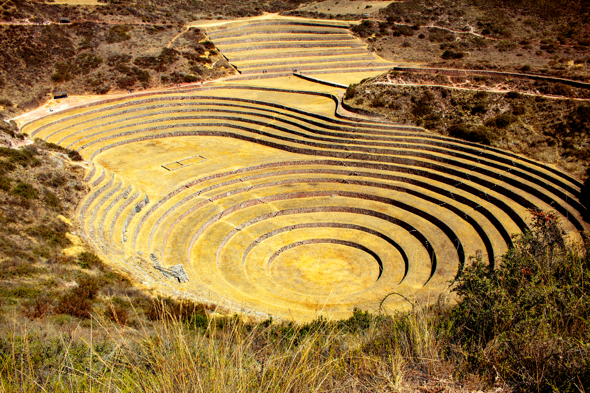
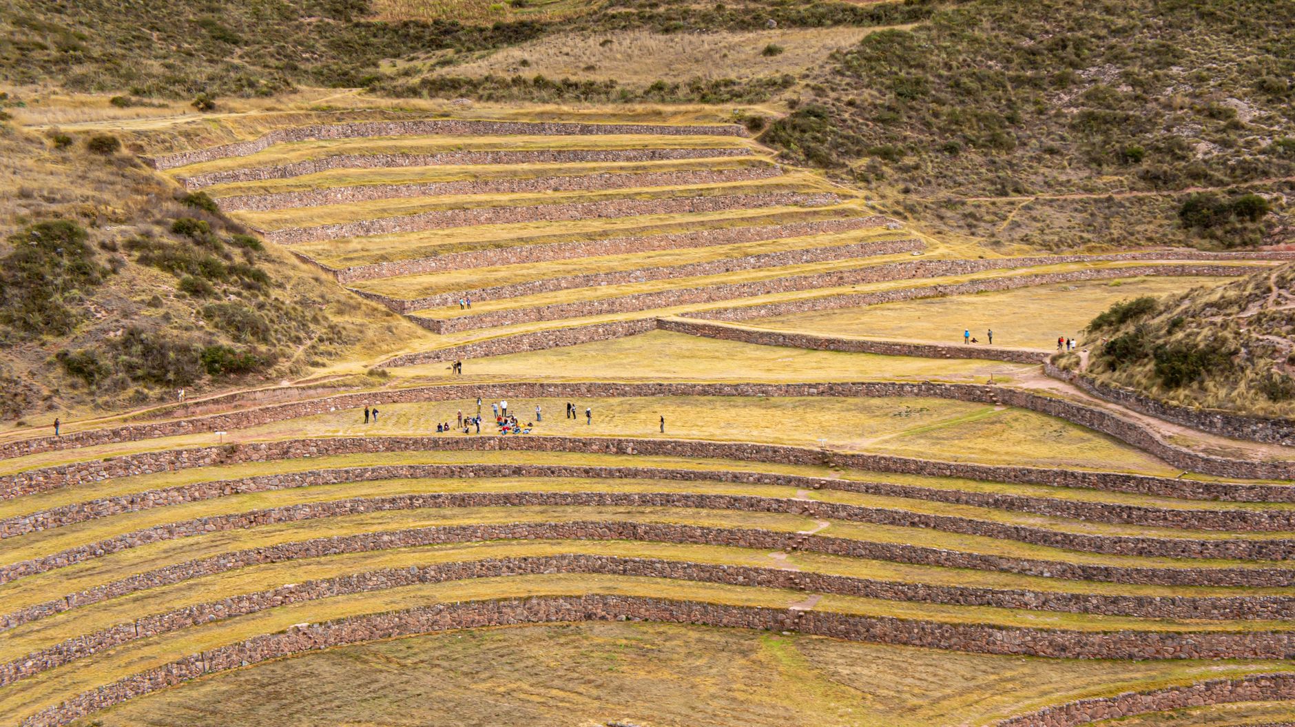
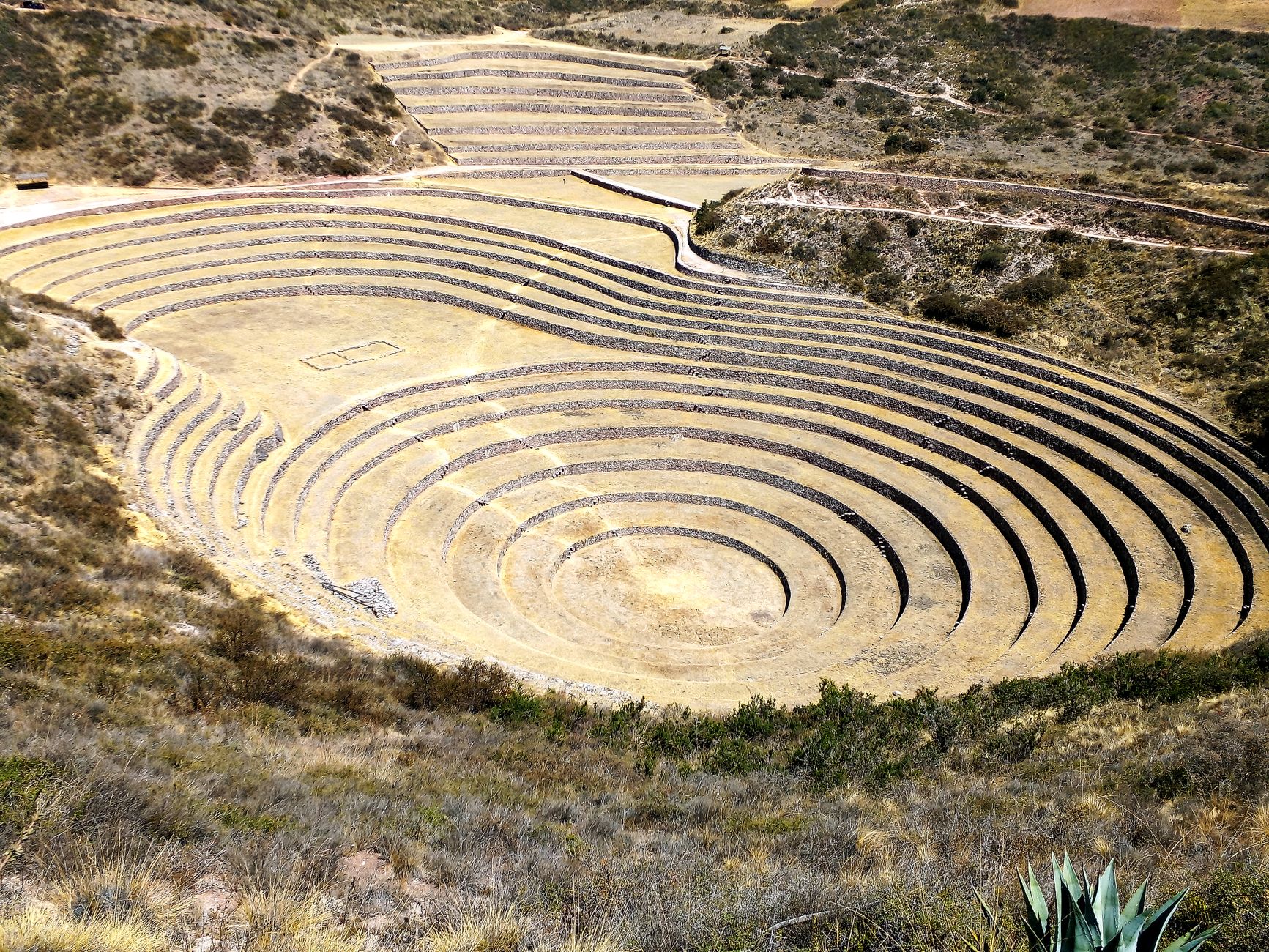
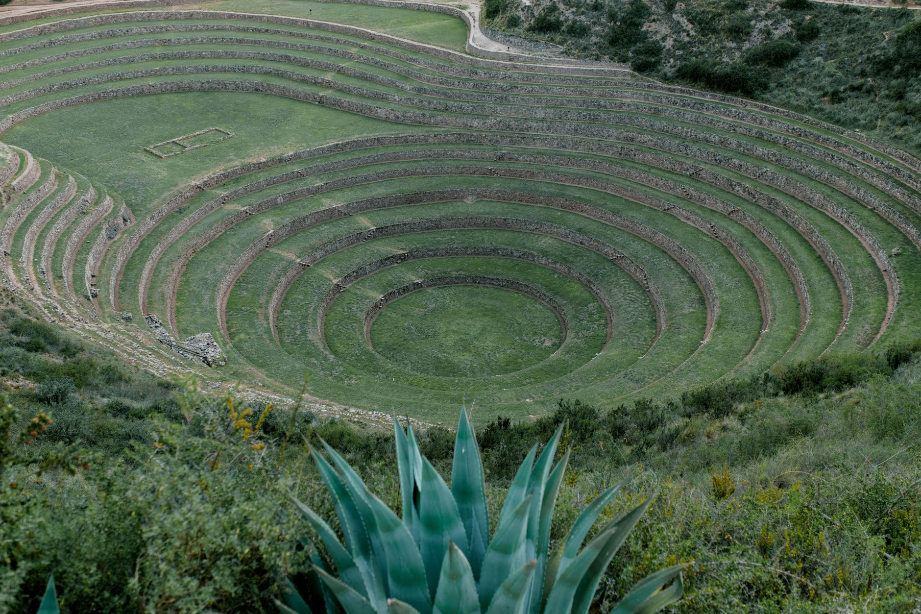
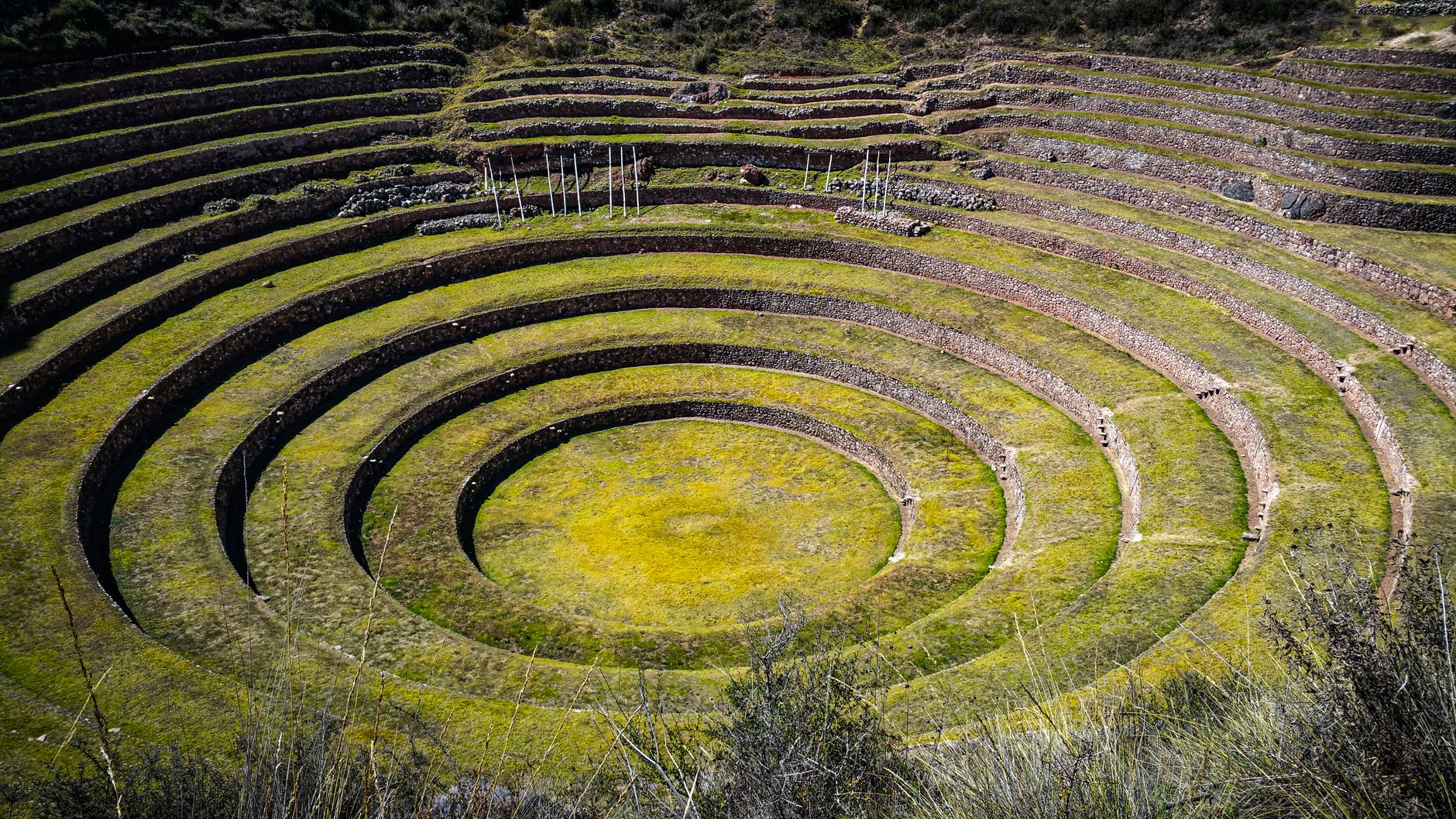
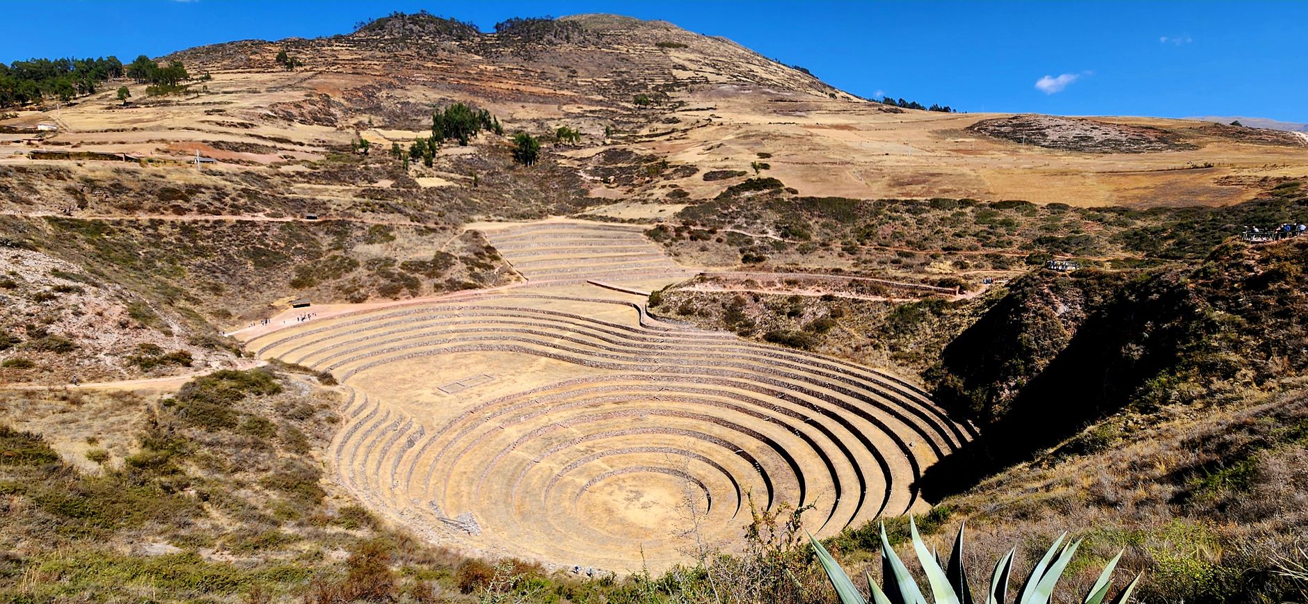
Three circular depressions open in the high plateau northwest of Cusco like something pressed into the earth by a giant thumb. Each one steps down in concentric rings — twelve terraces per bowl, the largest dropping thirty metres from rim to floor — and the air at the bottom is measurably warmer than where you're standing. That temperature differential, as much as 15°C across a single structure, was the point. The Inca engineered these muyus as a working laboratory, importing soils from across the empire, including guano hauled up from the Paracas coast, to test how crops from different altitudes and climates would perform.
Moray sits at roughly 3,500 metres on an open plateau near the town of Maras, about fifty kilometres from Cusco. Visitors stay on paths along the upper rims now — you can no longer descend to the terraces themselves — but the geometry reads clearly from above, and the scale keeps surprising you the longer you look.
💛 What travellers fall for
People who come back tend to mention the same thing: arrive early, before tour groups crest the ridge. The light is low and raking, the terraces cast hard shadows, and you can hear wind instead of commentary. Pair it with the Maras salt ponds on the same half-day — the two sites read almost as a single argument about Inca ingenuity with landscape.
Deals in Moray
Book directly at the provider

How Moray came to be
The lower terraces were built by the Wari culture sometime between the sixth and tenth centuries; the Inca expanded and completed the complex between the twelfth and fourteenth centuries, turning it into what excavations suggest was a systematic agricultural research station. Soils from multiple regions of Tahuantinsuyo were brought here, and the staggered microclimates — researchers have counted more than twenty across the site — let Inca agronomists study how altitude, temperature and sun exposure affected the same crop at different terrace levels.
After the Spanish arrived the site was abandoned and largely forgotten outside local memory. In 1931, American geologist Robert Shippee and U.S. Navy pilot Lt. George Johnson flew over the plateau on an aerial photographic expedition — the same team that documented the Nazca Lines — and the photographs brought Moray to wider archaeological attention. Formal research began in the 1930s and deepened in the 1980s when Prof. John Earls of the Pontificia Universidad Católica del Perú measured soil temperatures across the terraces and confirmed the deliberate microclimate design. In 2018, chef Virgilio Martinez opened MIL Restaurant at the edge of the site, continuing a version of those original crop experiments.
Who and what shaped it
People who shaped it
Landmark buildings
See Moray in motion
Plan your visit
On the map
When to go
From May to October the plateau gets clear, sunny days with temperatures around 18–21°C, though nights drop sharply toward freezing, so layers matter even on a day trip. November through March brings heavy rain and vivid green hillsides; the terraces are quieter but the paths can be slick and the light is unpredictable.
Right now
Background & history adapted from Wikipedia (CC BY-SA) · specs from Wikidata (CC0) · weather from Open-Meteo · map data © OpenStreetMap contributors · photos from Wikimedia Commons / Unsplash with per-image credit. No third-party reviews or social posts reproduced.