
Montagnana
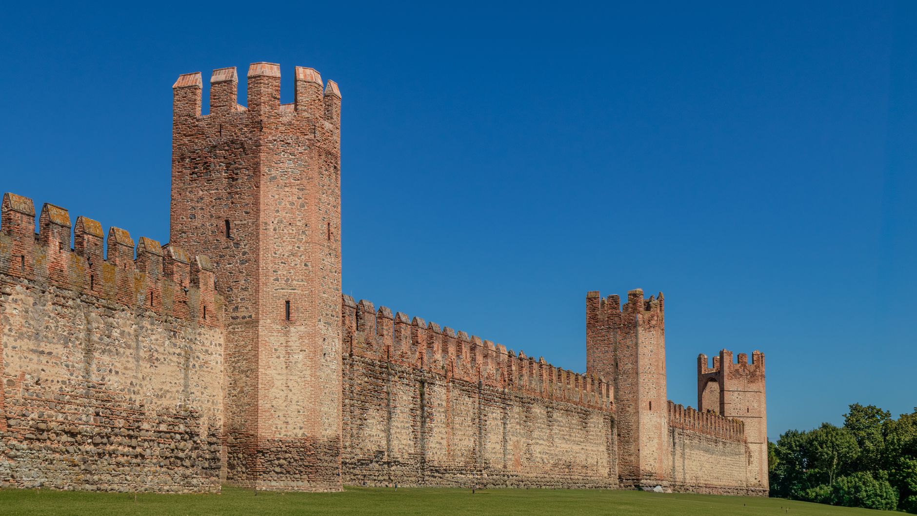
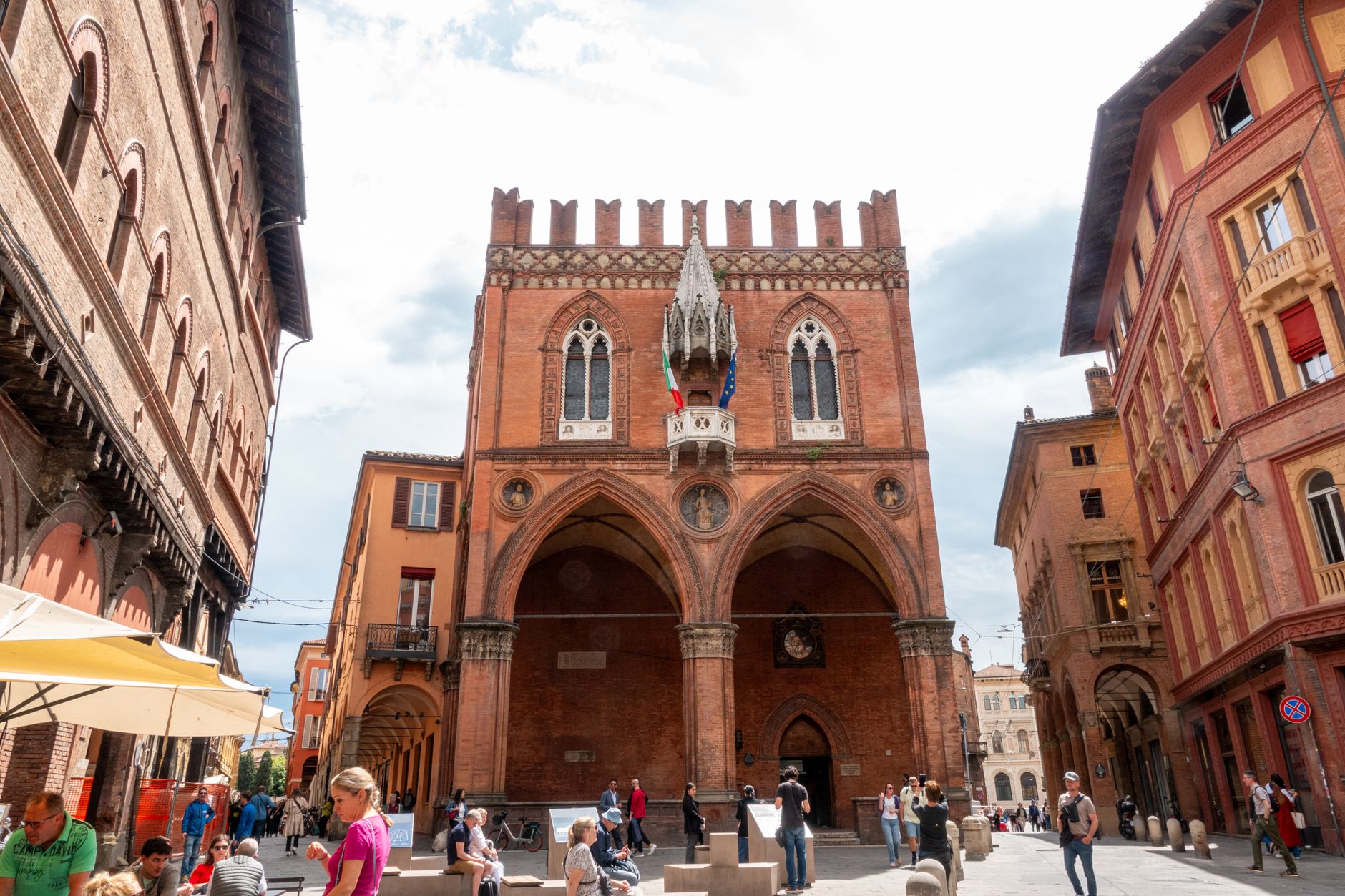
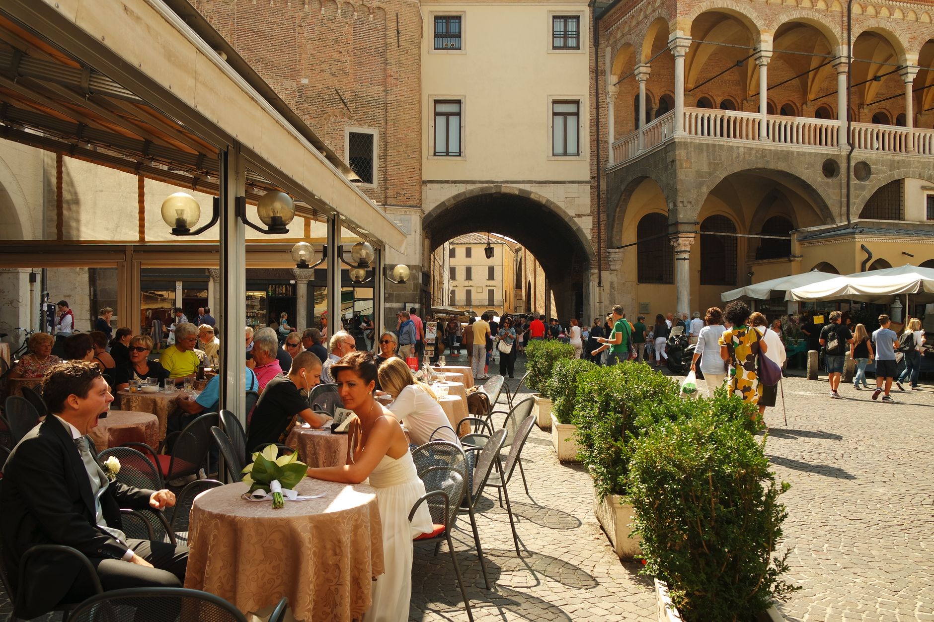
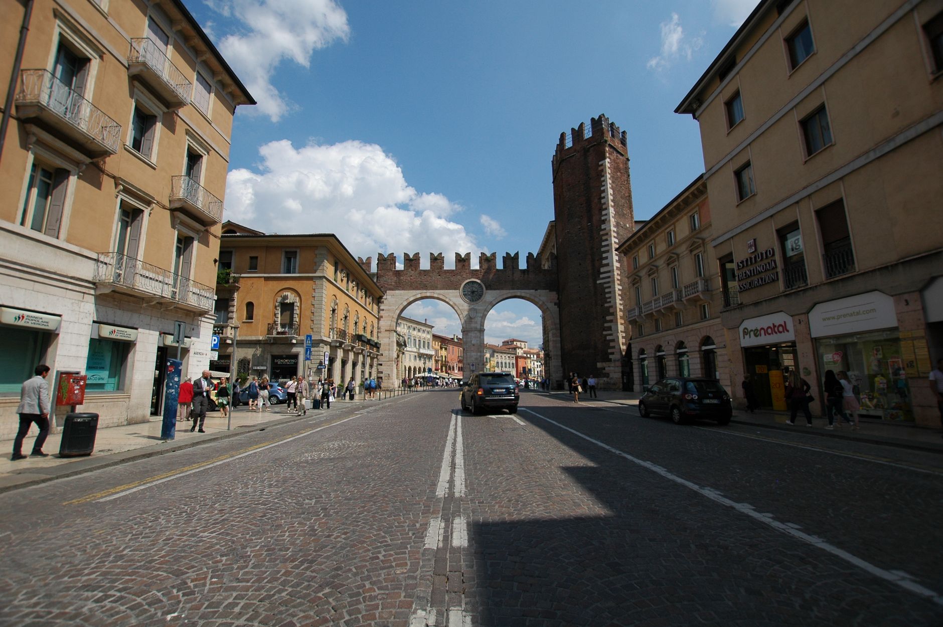

Montagnana stops you at its gate. The medieval walls here — 1,950 metres of them, lined with 24 towers reaching 19 metres — are not ruins kept alive by restoration grants. They are simply intact, enclosing a small Venetian plain town that has been going about its business inside them for six centuries.
Within the circuit, the scale stays human: a Renaissance Duomo, a Palladian villa just outside the walls, a piazza anchored by a social bank founded by friars in 1497. You can walk the full perimeter in fifty minutes and spend the rest of the day moving slowly through the interior.
💛 What travellers fall for
People who come back tend to time it around the walls at dusk, when the crenellations catch the last light and the town goes quiet. The €1.50 wall ticket is not a typo. The Rocca degli Alberi — the military fortress built by the Carraresi in 1360 — is worth checking open dates for; it runs April through October only.
Experiences you don't want to miss


Deals in Montagnana
Book directly at the providerHow Montagnana came to be
The name traces back to Motta Aeniana, a Roman road post on a low rise in the plain. By the 9th and 10th centuries a castle was forming here, and by the 12th century Montagnana had become a fortified municipality. Ezzelino da Romano seized it in the mid-13th century and burned the Castle of San Zeno in 1242; what stands now was rebuilt on a rectangular plan of 46 by 26 metres.
The defining walls came in the 14th century, completed around 1362 with the addition of the Rocca degli Alberi. Venice absorbed the town in the early 15th century and held it until Napoleon ended the Republic in 1797. French rule gave way to Austrian, which held until 1866 and unification with Italy. Through all of it, the walls stayed standing.
Who and what shaped it
People who shaped it
Landmark buildings
See Montagnana in motion
Plan your visit
On the map
When to go
Summers run hot — July averages around 32°C at midday — and winters are cold and occasionally snowy, with January highs barely reaching 7°C. April, May, and October sit in a comfortable 20–26°C range and are the most practical months for spending time outdoors.
Right now
Background & history adapted from Wikipedia (CC BY-SA) · specs from Wikidata (CC0) · weather from Open-Meteo · map data © OpenStreetMap contributors · photos from Wikimedia Commons / Unsplash with per-image credit. No third-party reviews or social posts reproduced.