
Mong Kok
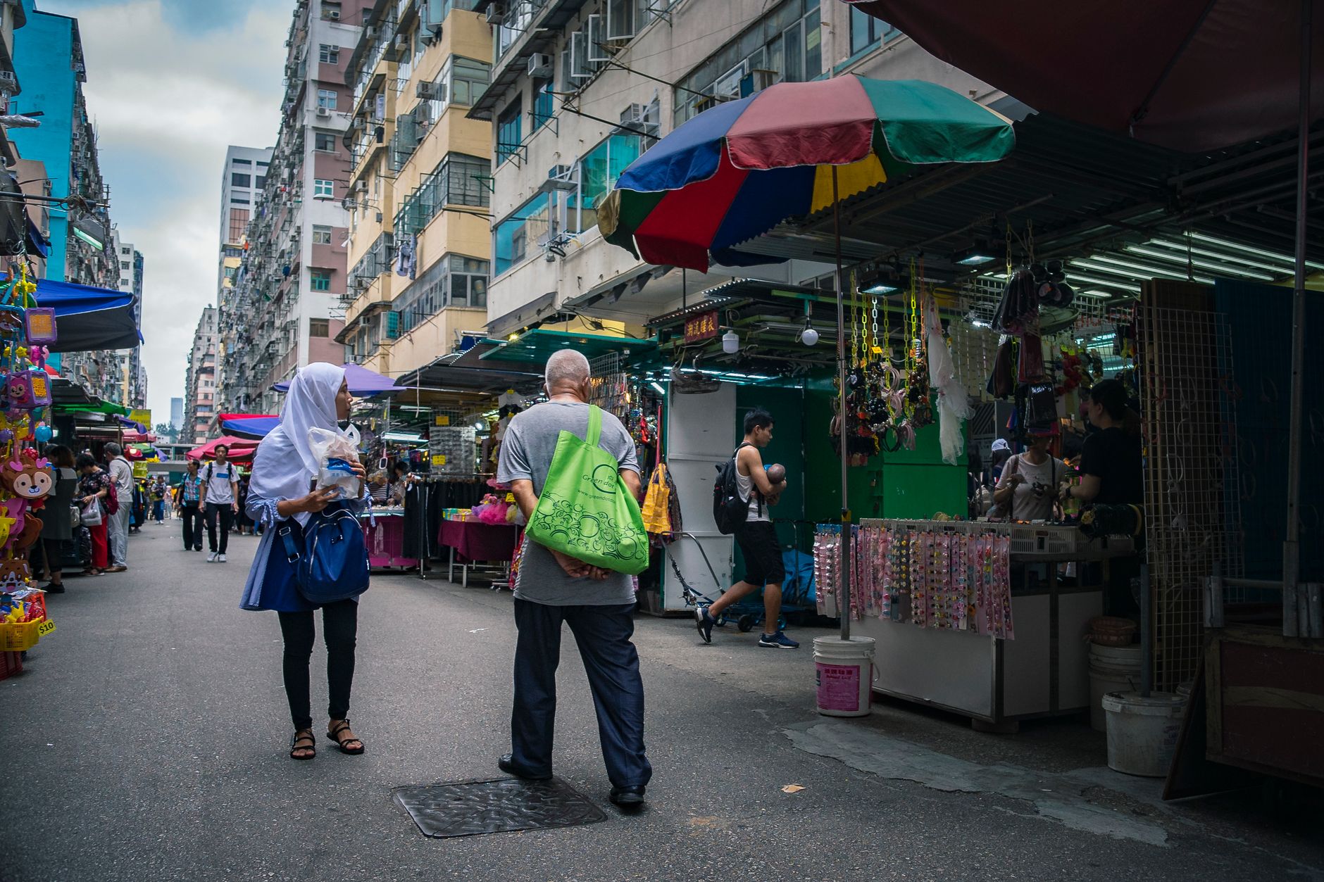
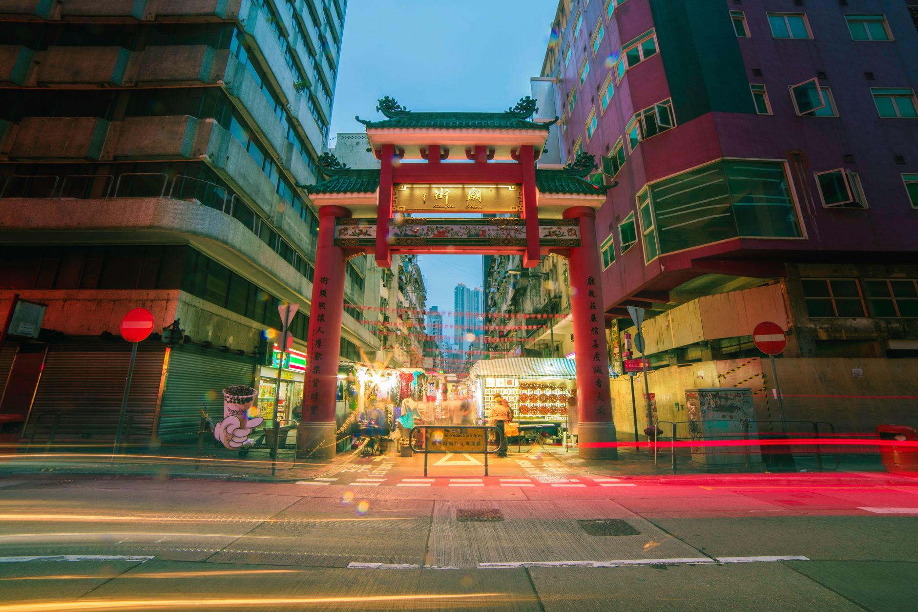
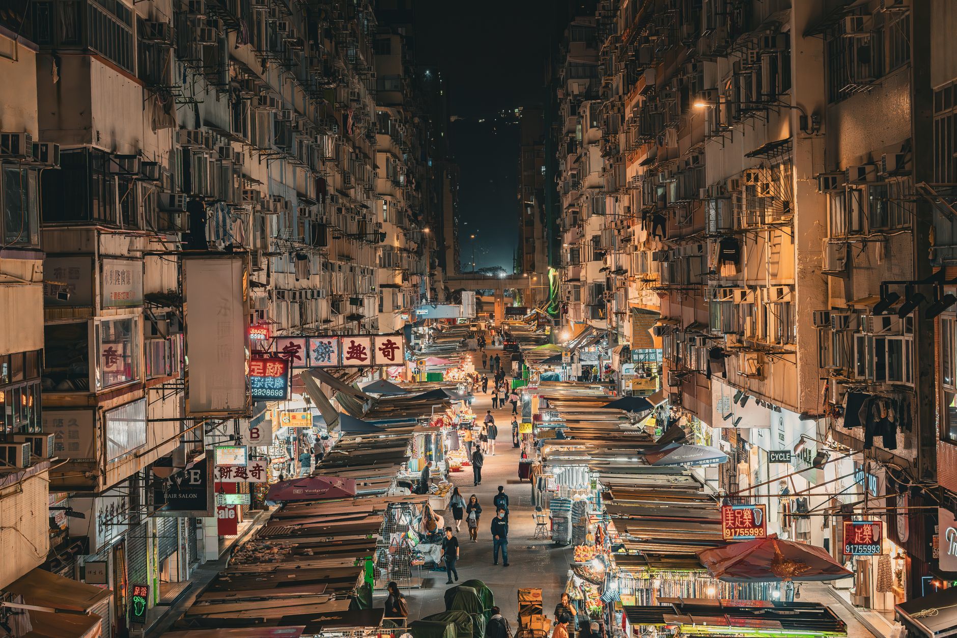
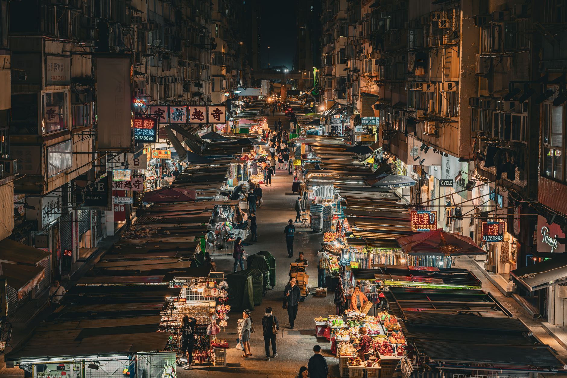
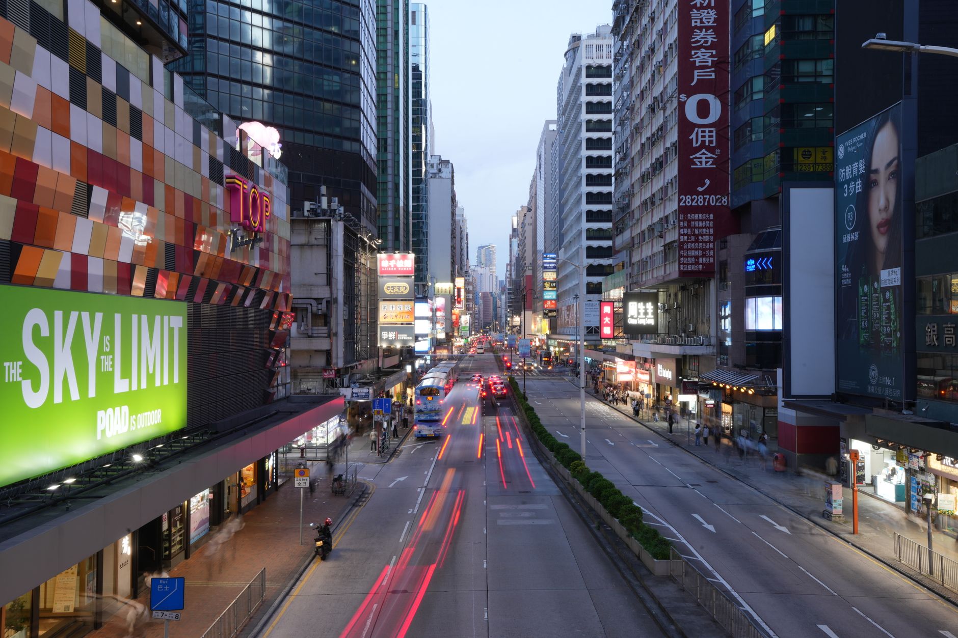
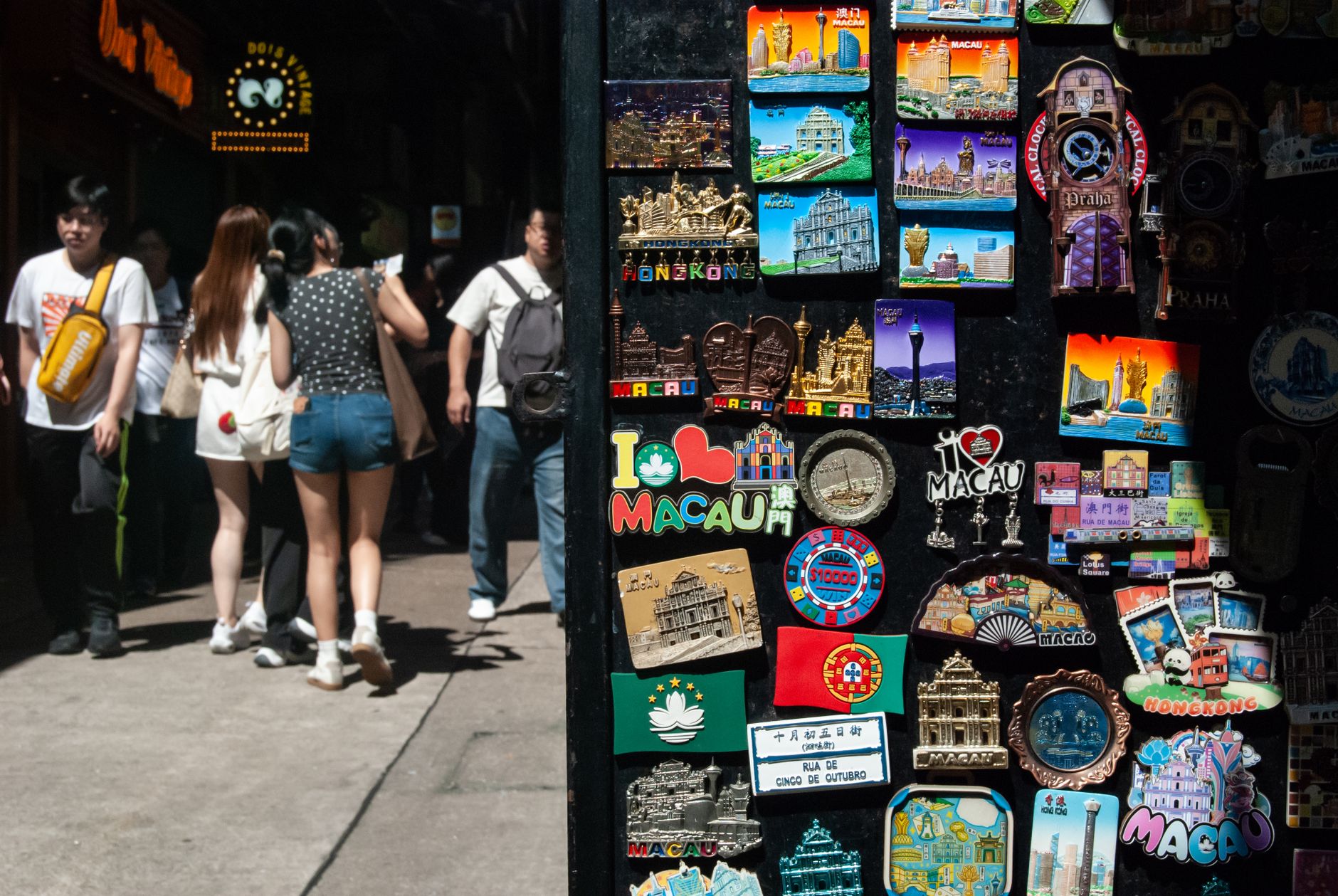
Mong Kok holds the Guinness record for the highest population density on earth — around 130,000 people per square kilometre — and you feel every one of them the moment you surface from the MTR. Stalls selling phone cases abut shops hung with caged songbirds; a Grade I heritage shophouse from the 1920s stands a block from a 255-metre office tower that once topped all of Kowloon. The layers are the point.
This is the part of Kowloon that runs on its own logic: markets open at noon and close at midnight, the two MTR stations serving the area sit only 400 metres apart, and the streets shift character every few blocks without warning.
💛 What travellers fall for
People who keep coming back tend to structure their time around the Yuen Po Street Bird Garden — early, before the crowds thicken, when the songbird calls are still audible — then work south along Shanghai Street to read the 1920s shophouse facades properly, saving Langham Place's Sky Escalator for the afternoon heat when you need the air conditioning anyway.
Deals in Mong Kok
Book directly at the provider
How Mong Kok came to be
Pottery fragments tie this patch of land to settlements as far back as the Western Han dynasty, and by 1819 Bao'an records counted a Hakka village of roughly 200 people here. Through the mid-1800s it was farmland — vegetable plots, not commerce. The turn came in 1910 when a ferry pier opened a regular crossing to Hong Kong Island; by the early 1920s light industry had taken hold and the district was reshaping fast.
Until 1930 the area answered to the name Mong Kok Tsui. In the 1930s its Chinese name was recast from 'Silvergrass Corner' to 'Prosperous Corner,' though the English name never changed — a small linguistic fossil that survived everything that followed.
Who and what shaped it
Landmark buildings
See Mong Kok in motion
Plan your visit
On the map
When to go
November through April is the window: temperatures sit between roughly 18°C and 23°C, humidity drops to something manageable, and rain is rare enough that you can spend full days outside without a plan B. June through September is hot and wet, with typhoon season adding the occasional abrupt shutdown to the calendar.
Right now
Background & history adapted from Wikipedia (CC BY-SA) · specs from Wikidata (CC0) · weather from Open-Meteo · map data © OpenStreetMap contributors · photos from Wikimedia Commons / Unsplash with per-image credit. No third-party reviews or social posts reproduced.