
Mondragón
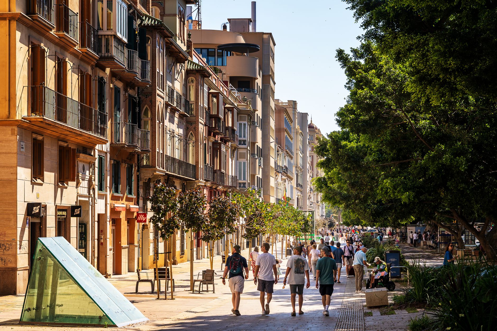
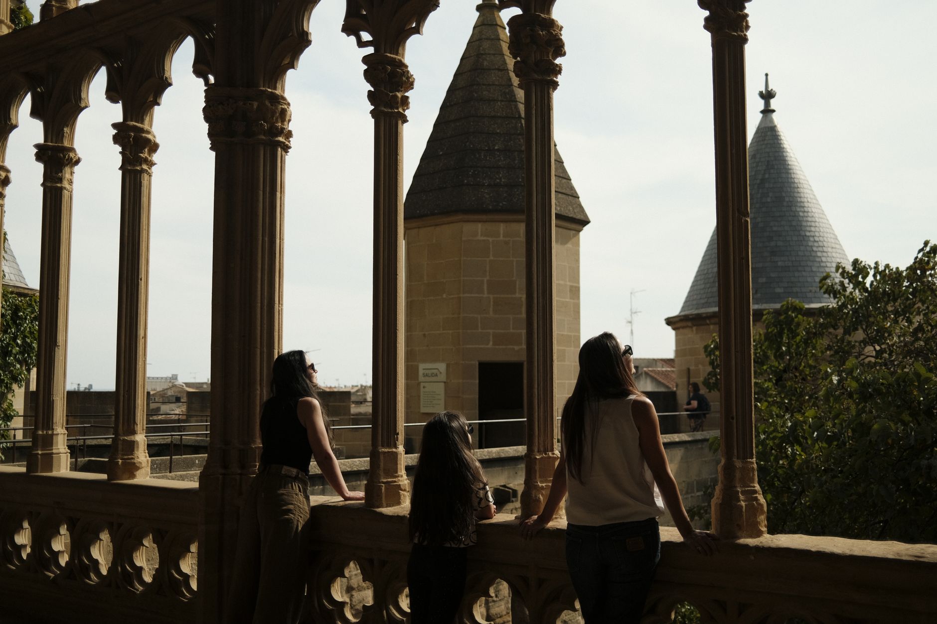
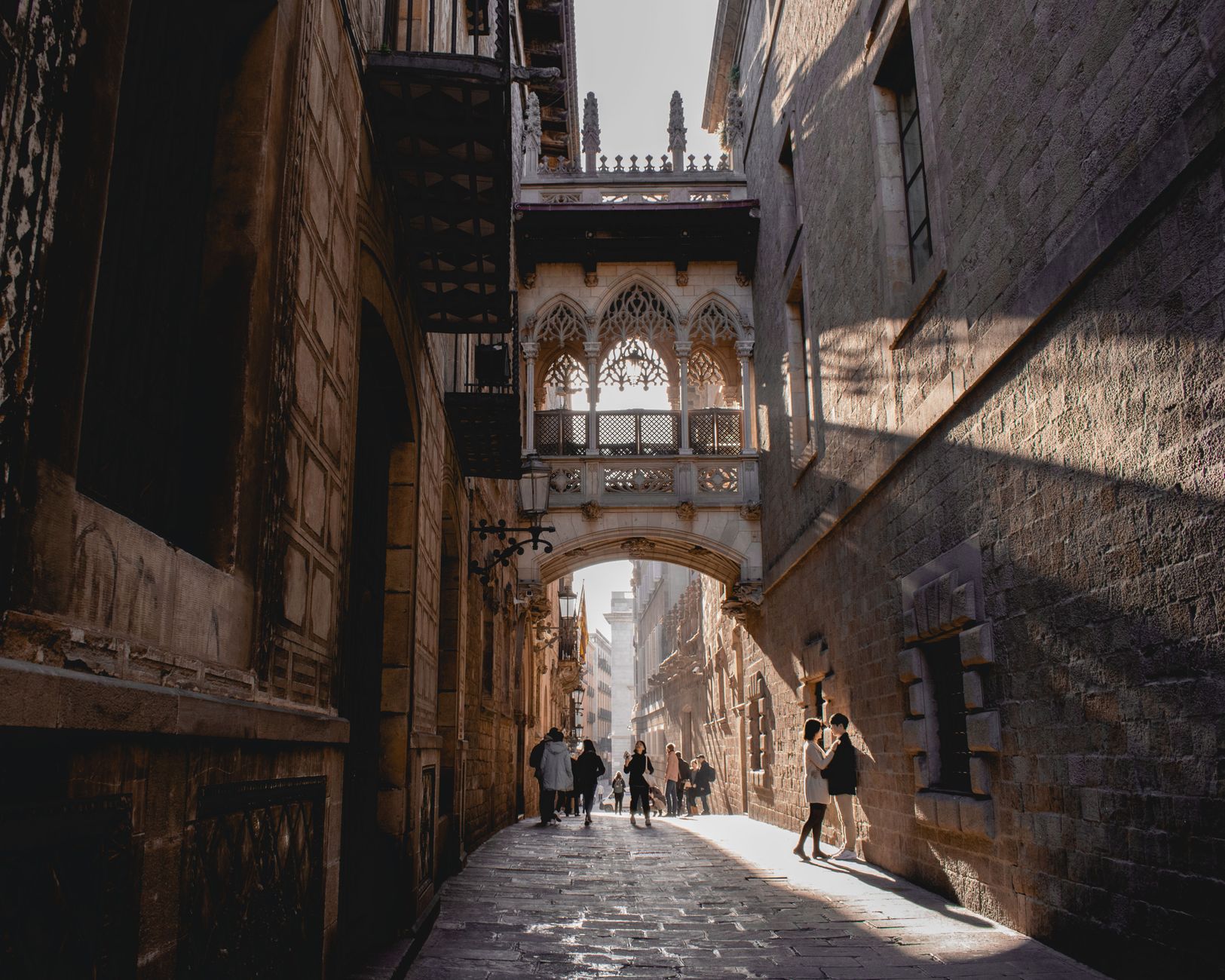
Mondragón sits in the valley of the High Deba, ringed by mountains close enough that you can read their tree lines from the old town's medieval streets. It is a place where cooperative economics became, for a few decades, the closest thing to a working utopia that industrial Europe produced — and where you can still walk the same cobbled cantons and portals that predate all of it by six centuries.
The town carries two names: the Castilian Mondragón and the Basque Arrasate, and both are in daily use, which tells you something about the layered identity you're stepping into. The Gothic church of San Juan Bautista anchors one end of the old quarter; a clock building from 1939 anchors the other.
💛 What travellers fall for
People who come back tend to spend time in Monterrón Park before anything else — the 17th-century palace there is almost incidental once you find the giant sequoias, which are officially classified as singular trees of the Basque Autonomous Region. From Santa Bárbara Park, the view over the old quarter in the late afternoon light is worth the climb.
Experiences you don't want to miss




Deals in Mondragón
Book directly at the provider


How Mondragón came to be
The town was founded in 1260 on land already known as Arrasate, and its medieval bones — the walled perimeter, the streets of Iturriotz and Ferrerías, the portals and cantons — are still legible in the layout today. For most of its history it was an unremarkable Gipuzkoan market town.
That changed in 1941, when a young priest named José María Arizmendiarrieta arrived. He founded a polytechnic school in 1943, and in 1956 five of his former students started a cooperative to manufacture paraffin heaters. That became the Mondragon Corporation. By 1959 the cooperative bank Caja Laboral and the welfare system Lagun Aro were in place; by the 1980s, when the rest of the Basque industrial belt was losing work to the steel crisis, the High Deba valley had near-full employment. The experiment was not perfect, but it was real.
Who and what shaped it
People who shaped it
Landmark buildings
See Mondragón in motion
Plan your visit
On the map
When to go
The mountains that frame the valley shelter Mondragón from the worst Atlantic weather, but the Basque interior is reliably damp — spring and autumn bring mild temperatures and frequent rain, summer is the driest window, and winters are cold without being severe. Layers are sensible at any time of year.
Right now
Background & history adapted from Wikipedia (CC BY-SA) · specs from Wikidata (CC0) · weather from Open-Meteo · map data © OpenStreetMap contributors · photos from Wikimedia Commons / Unsplash with per-image credit. No third-party reviews or social posts reproduced.