
Mombasa Old Town
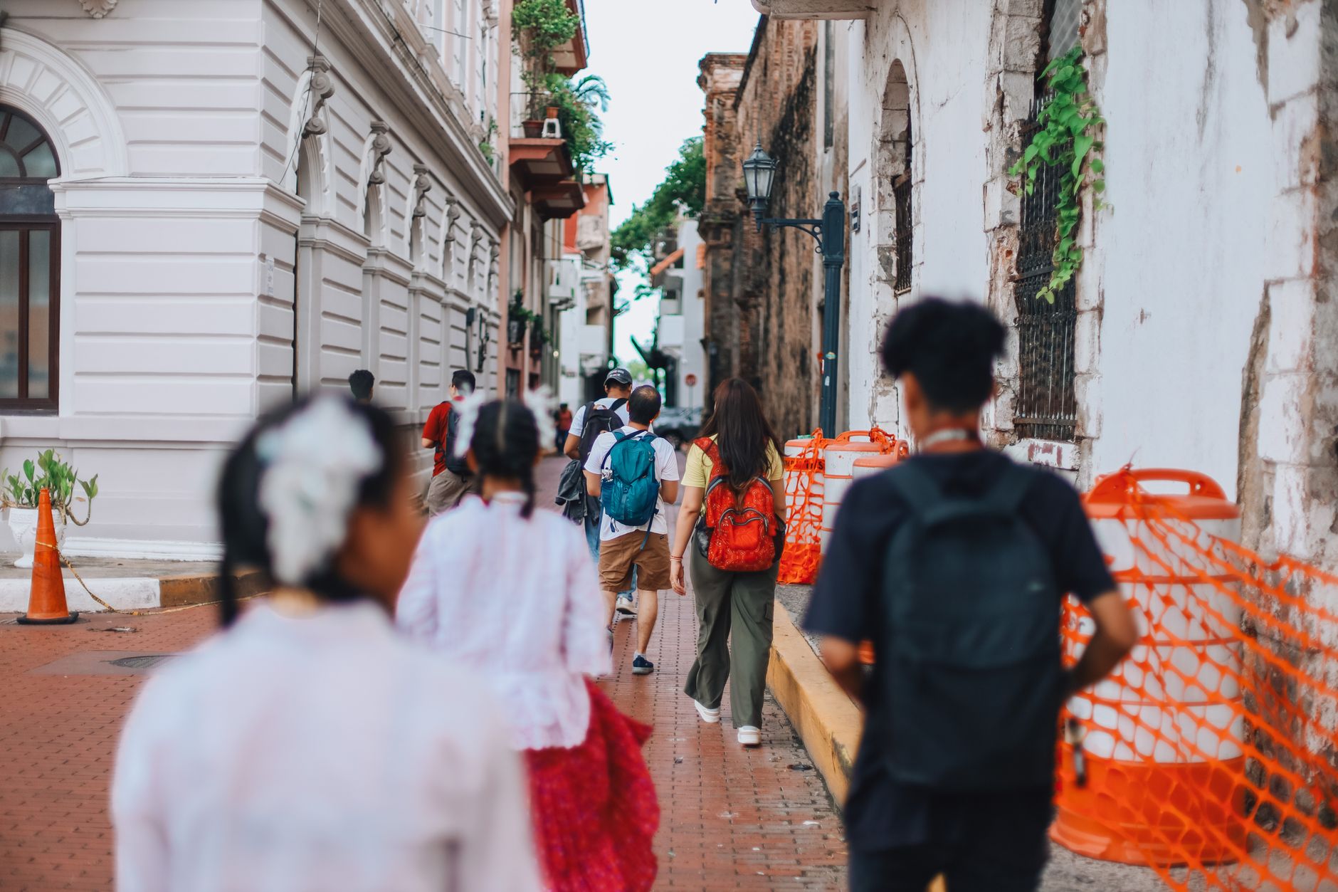

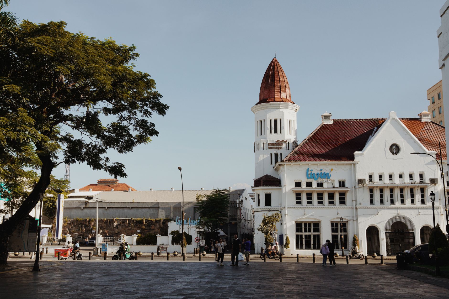
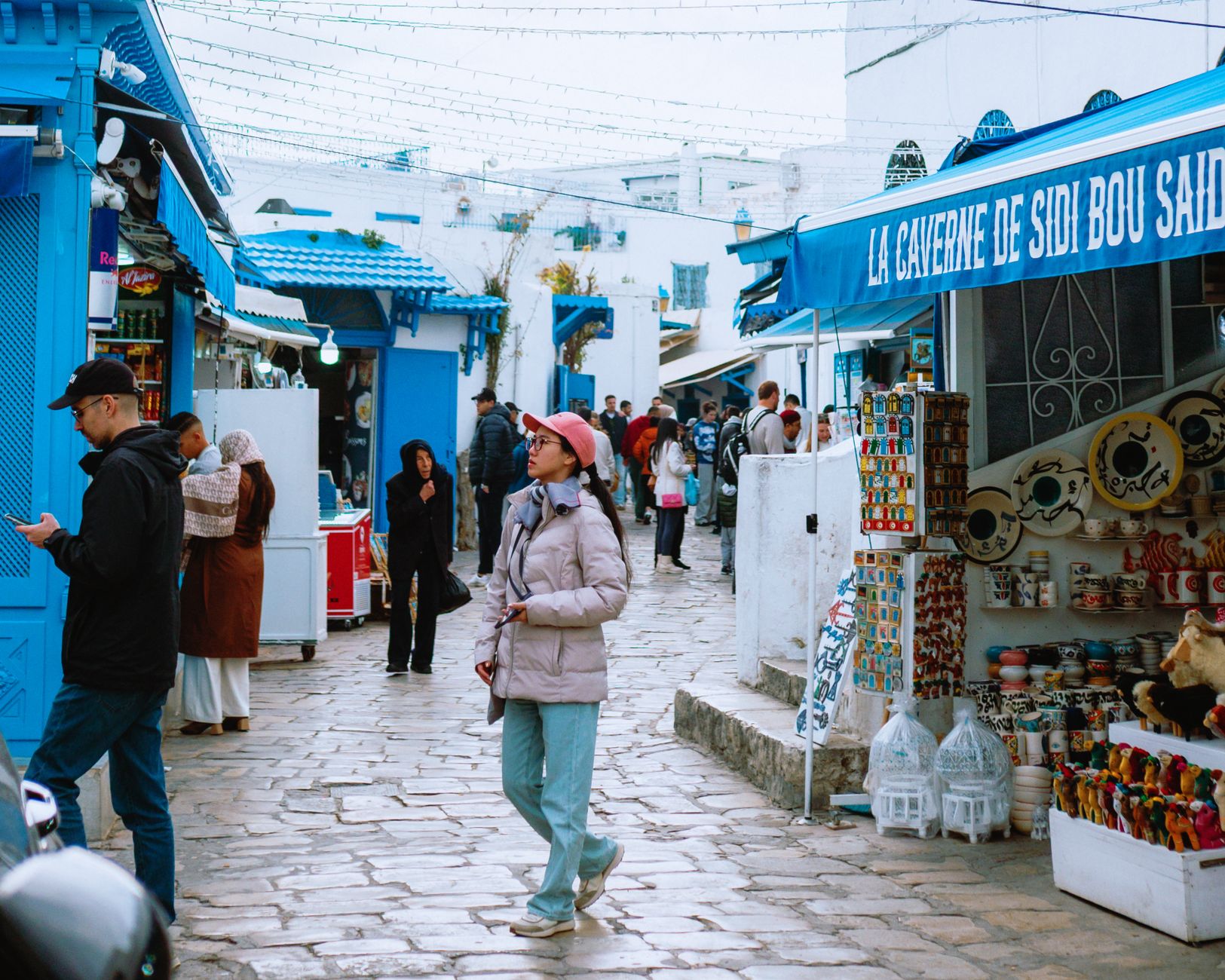
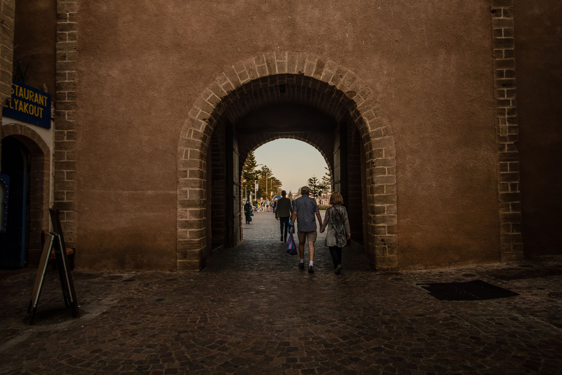
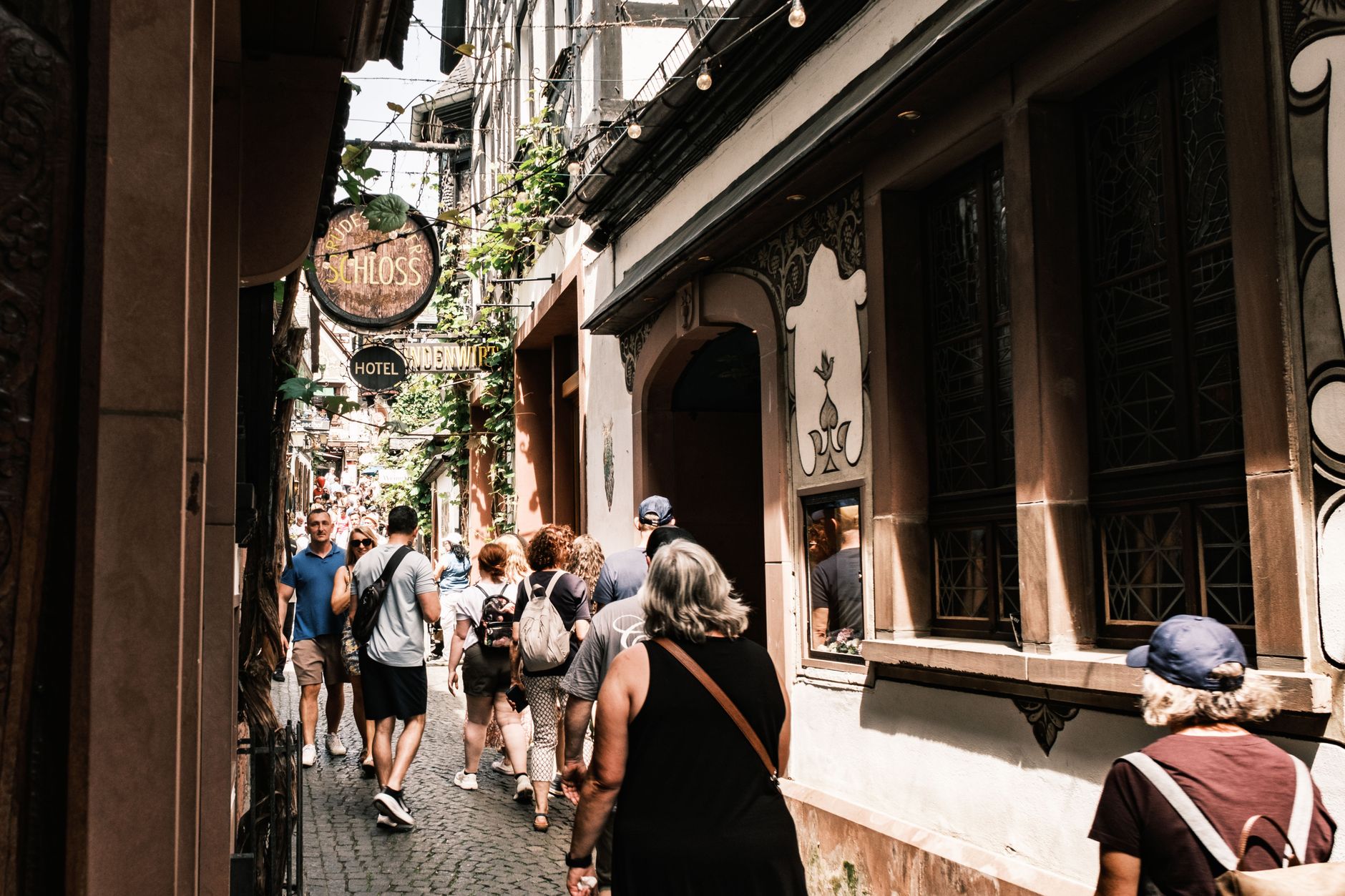
The streets of Mombasa Old Town are too narrow for most vehicles, which means you walk them, and walking them is the point. Carved wooden doors open onto coral-stone facades; a minaret from 1570 rises above a roofline that has absorbed Portuguese, Omani, and British layers without quite belonging to any of them. The air carries salt from the harbour and cardamom from somewhere nearby.
Spread across 72 hectares on the south-east edge of Mombasa Island, the Old Town holds more than a thousand years of continuous settlement in a space you can cover on foot in a single afternoon.
💛 What travellers fall for
People who come back tend to agree: go to Fort Jesus first, before the heat peaks, then let the fort's museum set the context for everything you see in the streets after. The Vasco da Gama Well — coral walls, cool shade — is easy to walk past, so look for it deliberately. Bargain at the antique shops, but slowly.
Deals in Mombasa Old Town
Book directly at the provider


How Mombasa Old Town came to be
Settlement on Mombasa Island reaches back to the 6th–9th century, but the founding story belongs to two figures: Mwana Mkisi, a woman associated with the oldest lineages of the Thenashara Taifa, the Twelve Nations, and Shehe Mvita, a Muslim scholar whose dynasty followed hers and who established the first permanent stone mosque around 1300 — the Mnara, still standing. By 1570 the Mandhry Mosque had risen beside it, its minaret capped with an ogee arch unlike anything on the East African coast.
The Portuguese arrived in force in 1593 and built Fort Jesus to hold what they had taken. They held it for a century before a Swahili-Omani coalition besieged the fort for 33 months, breaching it in 1698. Omani rule followed, then Zanzibar's Sultan Sayyid Said annexed the city in 1837, then the British came. Fort Jesus opened as a museum in 1960 and was inscribed as a UNESCO World Heritage Site in 2011.
Who and what shaped it
People who shaped it
Landmark buildings
See Mombasa Old Town in motion
Plan your visit
On the map
When to go
June through October is dry and sunny with manageable humidity — the most comfortable season for walking stone streets in full sun. If you come between March and May, expect the long rains, heaviest in April; the Old Town empties of tourists and the coral gleams wet, which has its own appeal.
Right now
Background & history adapted from Wikipedia (CC BY-SA) · specs from Wikidata (CC0) · weather from Open-Meteo · map data © OpenStreetMap contributors · photos from Wikimedia Commons / Unsplash with per-image credit. No third-party reviews or social posts reproduced.