
Mombasa Central Business District
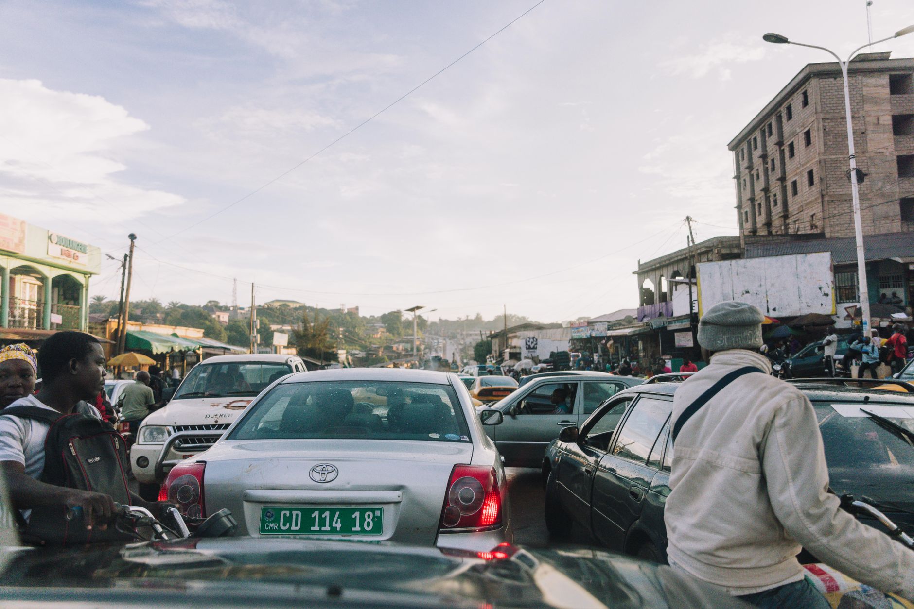
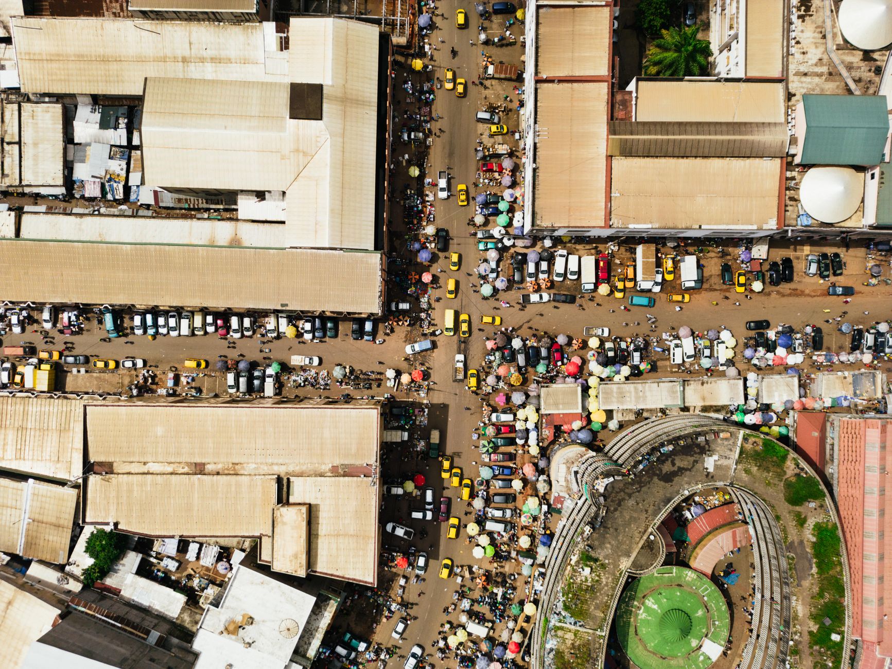
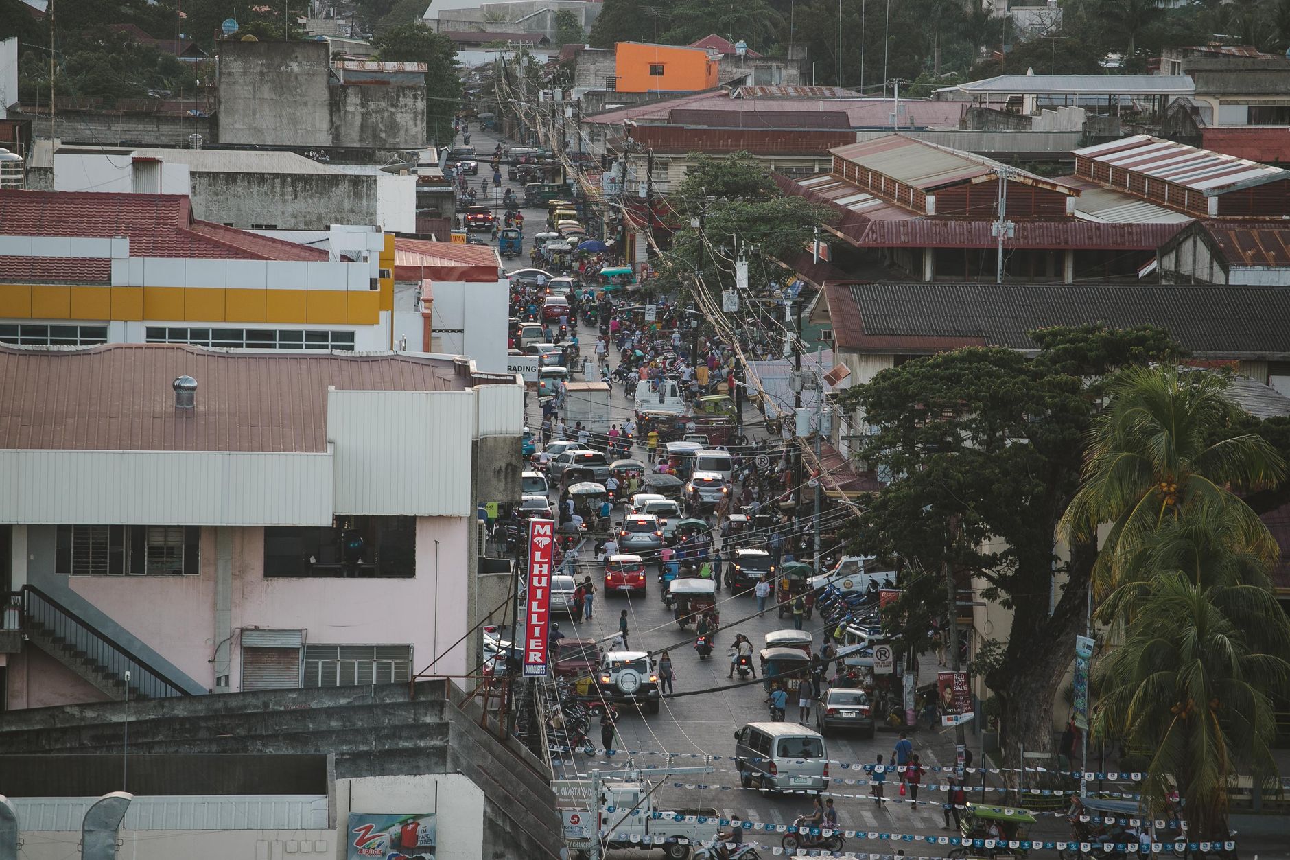

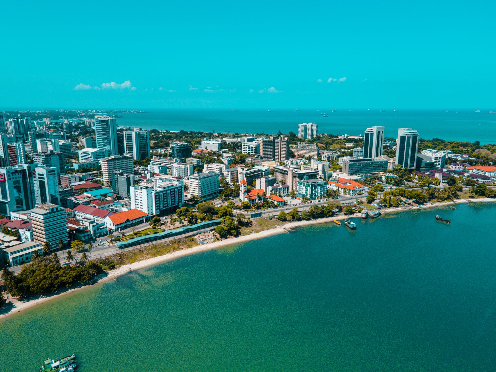
The white-and-blue buildings along Moi Avenue are not accidental. In 2018, Governor Hassan Joho ordered every structure in the Central Business District repainted in those two colours — white walls, Egyptian blue trim — to mirror the Indian Ocean sitting just beyond the island's edge. The effect is stranger and more striking than a directive has any right to be: a working financial district that looks like it has been rinsed clean.
This is where Mombasa does its paperwork. The KRA, the major banks, the audit firms — they cluster around the TSS building roundabout and along Nyerere Avenue, in buildings whose Arab, Indian and Swahili bones show through in carved door frames and ogee arches, even beneath the fresh paint.
💛 What travellers fall for
People who pass through regularly learn to take the Mombasa Commuter Rail Service rather than a matatu when connecting to the SGR terminus at Miritini — the fare drops from 300 to 50 shillings and the journey is predictable. For everything within the CBD itself, tuk-tuks are faster than they look and the drivers know the one-ways better than any map.
Deals in Mombasa Central Business District
Book directly at the provider


How Mombasa Central Business District came to be
The ground the CBD stands on has been urban for over a thousand years. Around 900 A.D., a pre-Islamic queen named Mwana Mkisi founded Kongowea, the first settlement on Mombasa Island. The scholar Shehe Mvita later supplanted her dynasty and built the island's first permanent stone mosque — Mnara Mosque, raised around 1300, still stands. Mombasa became the first capital of British East Africa before Nairobi assumed that role in 1907.
The modern skyline arrived in the early 1980s: Mombasa Trade Center completed in 1981, Bima Towers a year later. Both were built by local firms and remain the district's tallest anchors, their concrete frames rising above streets that still follow the logic of a much older port city.
Who and what shaped it
People who shaped it
Landmark buildings
See Mombasa Central Business District in motion
Plan your visit
On the map
When to go
June through September brings the most forgiving conditions — mid-20s to low 30s Celsius, lower humidity, and little rain. April and May see the heaviest downpours of the year, with May averaging around 235mm; if you're here then, mornings tend to be clearer than afternoons.
Right now
Background & history adapted from Wikipedia (CC BY-SA) · specs from Wikidata (CC0) · weather from Open-Meteo · map data © OpenStreetMap contributors · photos from Wikimedia Commons / Unsplash with per-image credit. No third-party reviews or social posts reproduced.