
Mkokotoni



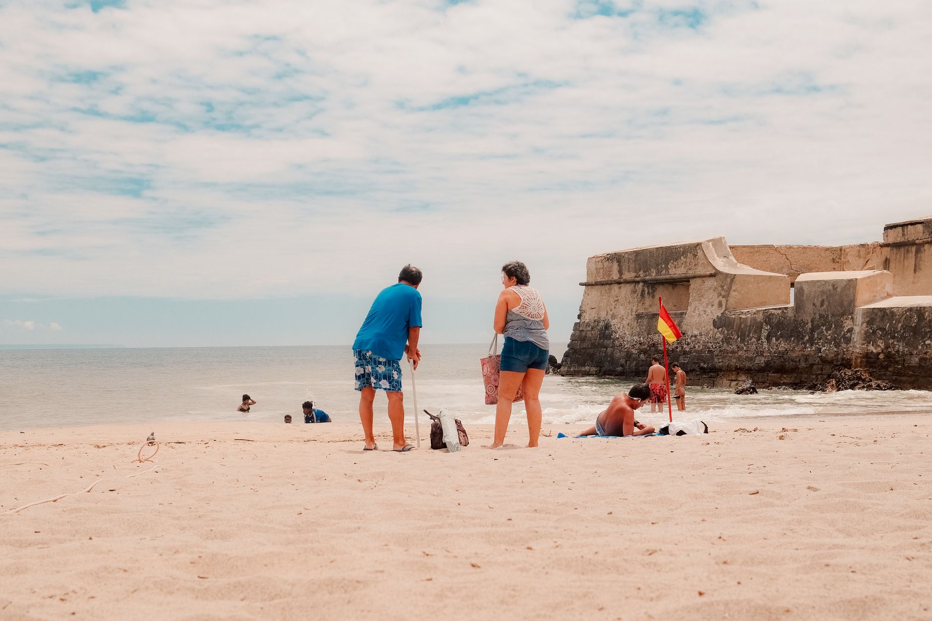

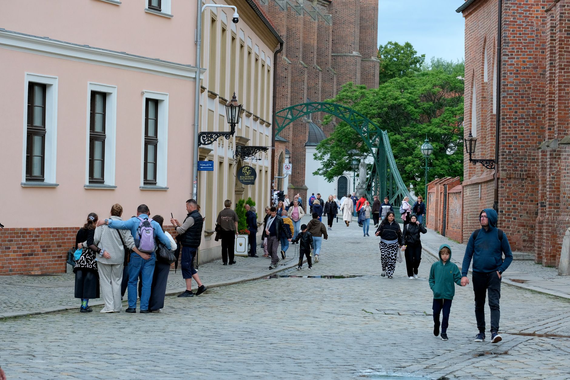
Mkokotoni sits on the northwestern edge of Zanzibar, where the land flattens out toward a wide bay and the mangroves take over. It's the administrative capital of Zanzibar's North region, though its pace feels nothing like a capital — fishing boats come and go through the seaport, goods move between the surrounding communities, and the forest behind town holds red colobus monkeys and chameleons in its canopy.
The bay's 1,507-acre mangrove forest is the quiet engine of local life, feeding the fishing grounds that the town's roughly 2,500 residents have worked for generations. Archaeologists have pulled evidence of a medieval beading workshop from the earth here — the distinctive Mkokotoni beads place this small town inside a much older story of Indian Ocean trade.
💛 What travellers fall for
People who make it out here tend to mention the boat tours in the same breath — a full day on the water, stopping at Jongowe and a local fisherman's family home, gives you a version of northwestern Zanzibar that the road doesn't show. The seaport is worth an hour of quiet watching on its own.
Deals in Mkokotoni
Book directly at the provider

How Mkokotoni came to be
By the late first millennium AD, Mkokotoni was already positioned to participate in the Indian Ocean trade networks that shaped the Swahili coast. Its location on Zanzibar's northwestern bay made it a natural entrepôt — a place where goods moved and people settled. Archaeological excavation has since uncovered the remains of a beading workshop producing a distinctive local type now known as Mkokotoni beads, physical evidence that this was not merely a transit point but a place of making.
The settlement continued into the early second millennium, accumulating the quiet depth of a town that has always had a reason to exist: the bay, the mangroves, the sea.
Who and what shaped it
Landmark buildings
See Mkokotoni in motion
Plan your visit
On the map
When to go
The dry season, running roughly through July and August, brings warm days around 25°C, reliable wind off the bay, and clear skies — the most comfortable window to visit. February sits at the edge of the shorter dry spell with manageable heat and modest rainfall; May is genuinely wet, with rain on more than half the days of the month.
Right now
Background & history adapted from Wikipedia (CC BY-SA) · specs from Wikidata (CC0) · weather from Open-Meteo · map data © OpenStreetMap contributors · photos from Wikimedia Commons / Unsplash with per-image credit. No third-party reviews or social posts reproduced.