
Miyun District
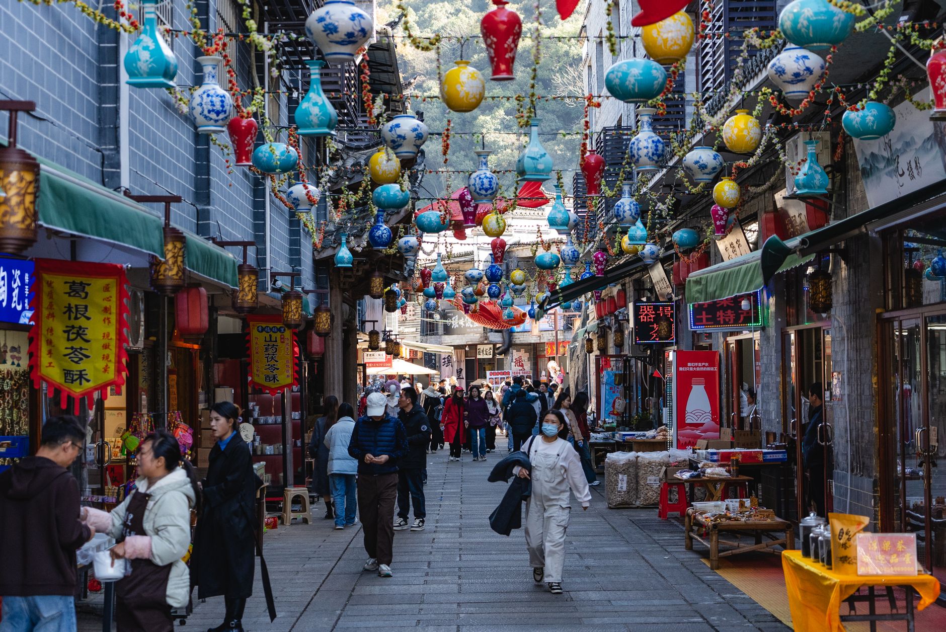
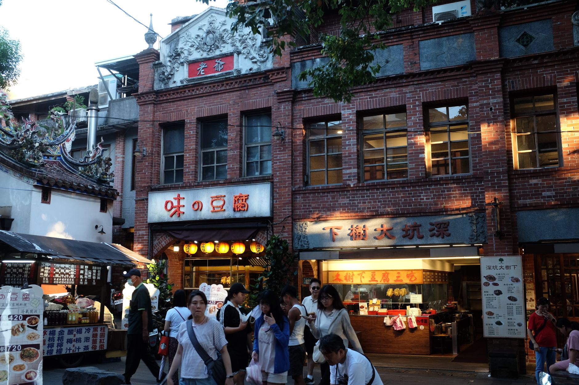
An hour's train ride northeast of central Beijing, Miyun District is where the capital's water comes from — one in every three cups Beijingers drink passes through the reservoir here before reaching the tap. That reservoir, completed in 1960, spreads across 188 square kilometres and on clear days its inlets fracture into what locals call Thousand Islands scenery, the surrounding ridges burning red in autumn.
The other reason to come is the Simatai Great Wall, a 5.7-kilometre stretch of Ming-dynasty stonework that UNESCO singled out as the only section of the wall still wearing its original appearance. Thirty-five watchtowers, divided by a reservoir, climbing terrain steep enough that the builders had to improvise around the rock rather than impose a grid on it.
💛 What travellers fall for
People who come back tend to arrive on a weekday, walk the eastern section of Simatai early before the light flattens, and end the afternoon at one of the reservoir-side restaurants eating shuiku yu — the fish pulled from Miyun Reservoir itself, served simply, tasting of cold mountain water. The Jianyan Trail near Jianyan Village is the move for the Thousand Islands view.
Deals in Miyun District
Book directly at the provider


How Miyun District came to be
Human settlement here goes back roughly 6,000 years, evidenced by Neolithic tools and pottery recovered from the Yanluozhai Xueshan Cultural Site. By the Ming dynasty, the area sat squarely on the defensive frontier, and the Simatai wall was first raised in the early Hongwu years (1368–1398). In 1924, the warlord Feng Yuxiang used Miyun as a staging ground before the Beijing Coup. A decade later, Imperial Japanese forces occupied the district, folding it into the East Hebei Autonomous Council puppet state; in July 1936, local peasants rose up under the Yellow Sand banner, and by September the rebellion had been put down, with around 300 fighters killed or wounded.
Miyun was administratively absorbed into Beijing Municipality in October 1958, and the reservoir — built to secure the capital's water supply — was completed two years later. The county held that status for more than half a century before being formally elevated to Miyun District in November 2015.
Who and what shaped it
Landmark buildings
See Miyun District in motion
Plan your visit
On the map
When to go
Spring (April–May) and autumn (September–October) both sit in the 19–28°C range and are the most comfortable seasons for walking the wall or the reservoir trails. July brings the highest heat — around 32°C — and the most rain; January nights can drop to −10°C, leaving the wall iced and the crowds thin.
Right now
Background & history adapted from Wikipedia (CC BY-SA) · specs from Wikidata (CC0) · weather from Open-Meteo · map data © OpenStreetMap contributors · photos from Wikimedia Commons / Unsplash with per-image credit. No third-party reviews or social posts reproduced.