
Michamvi
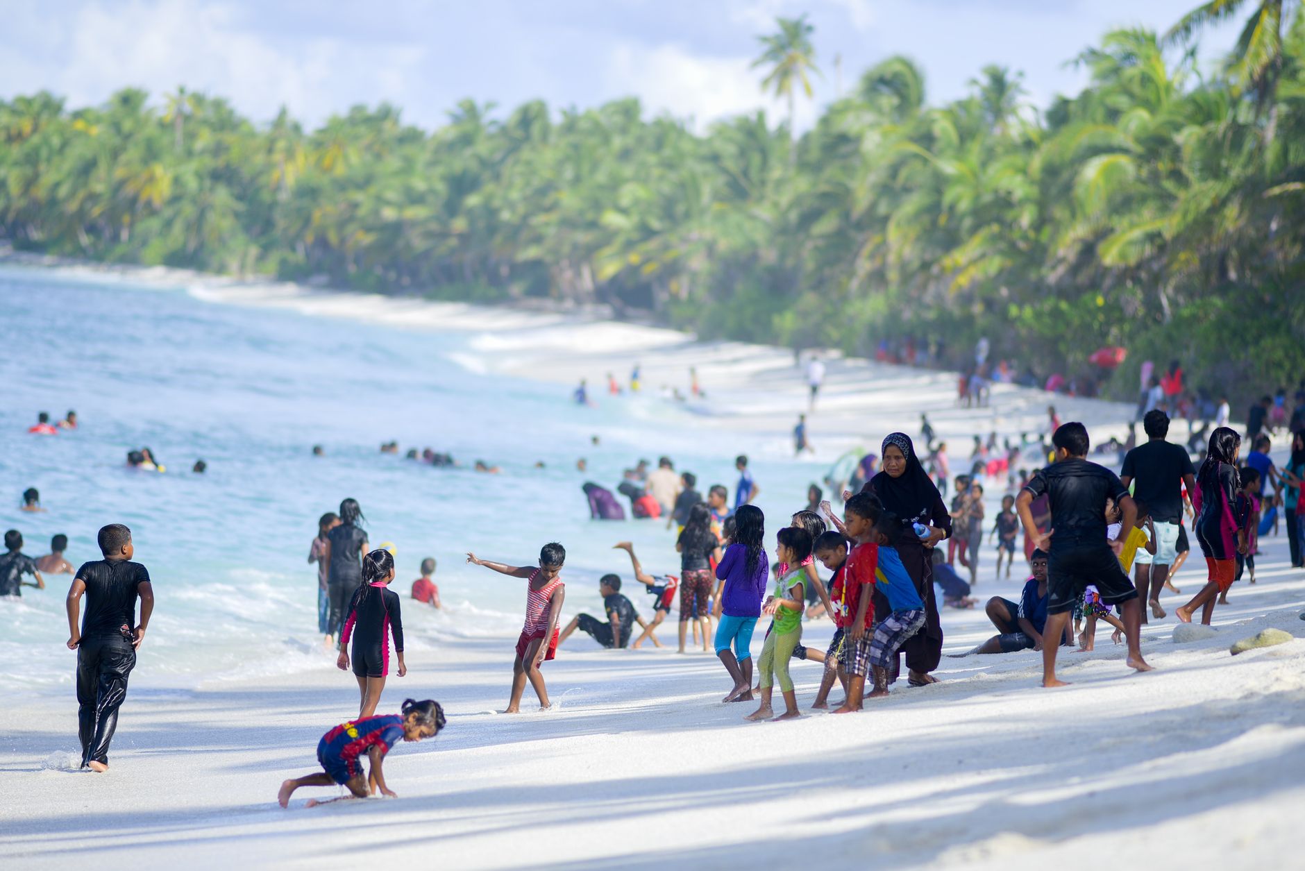
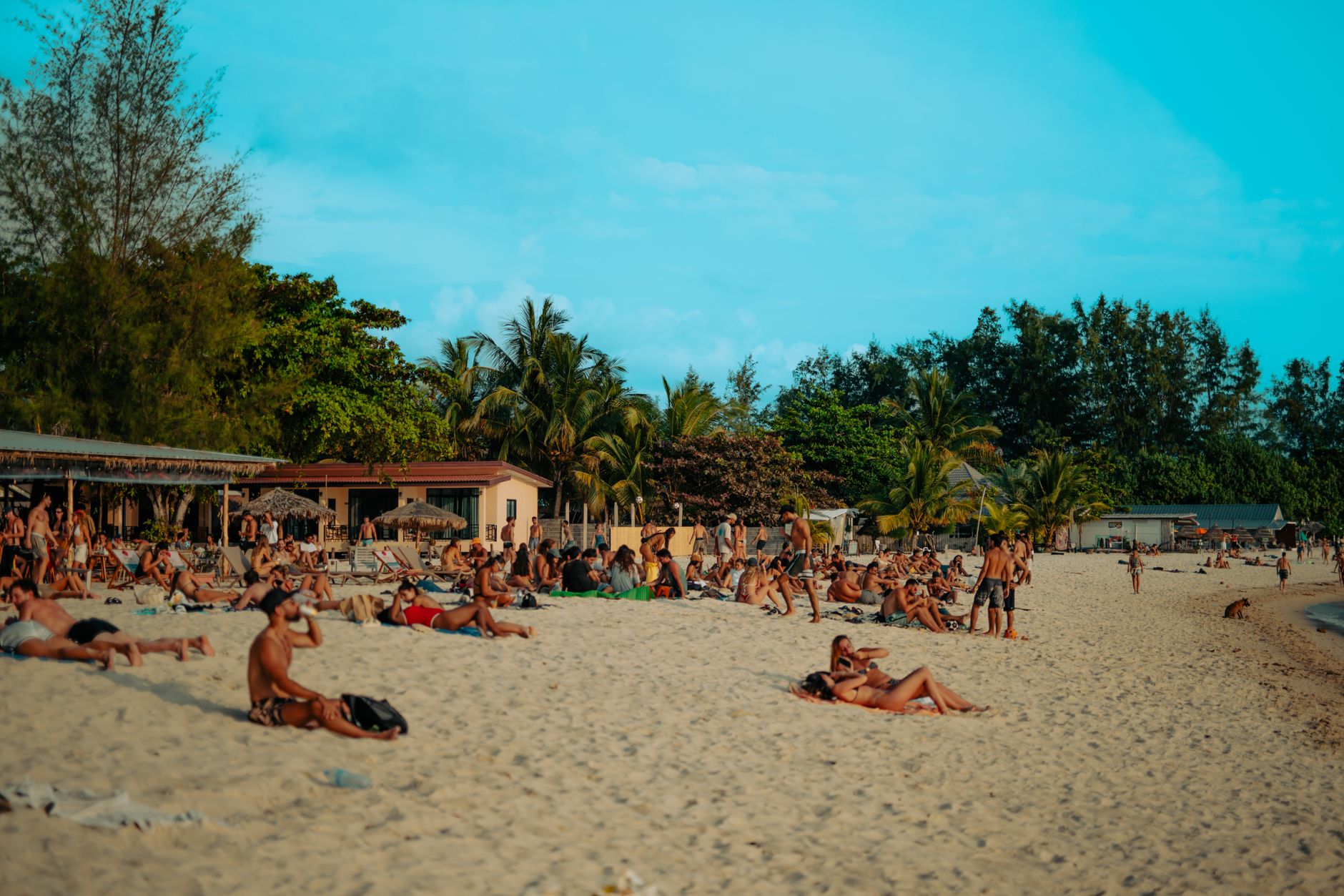
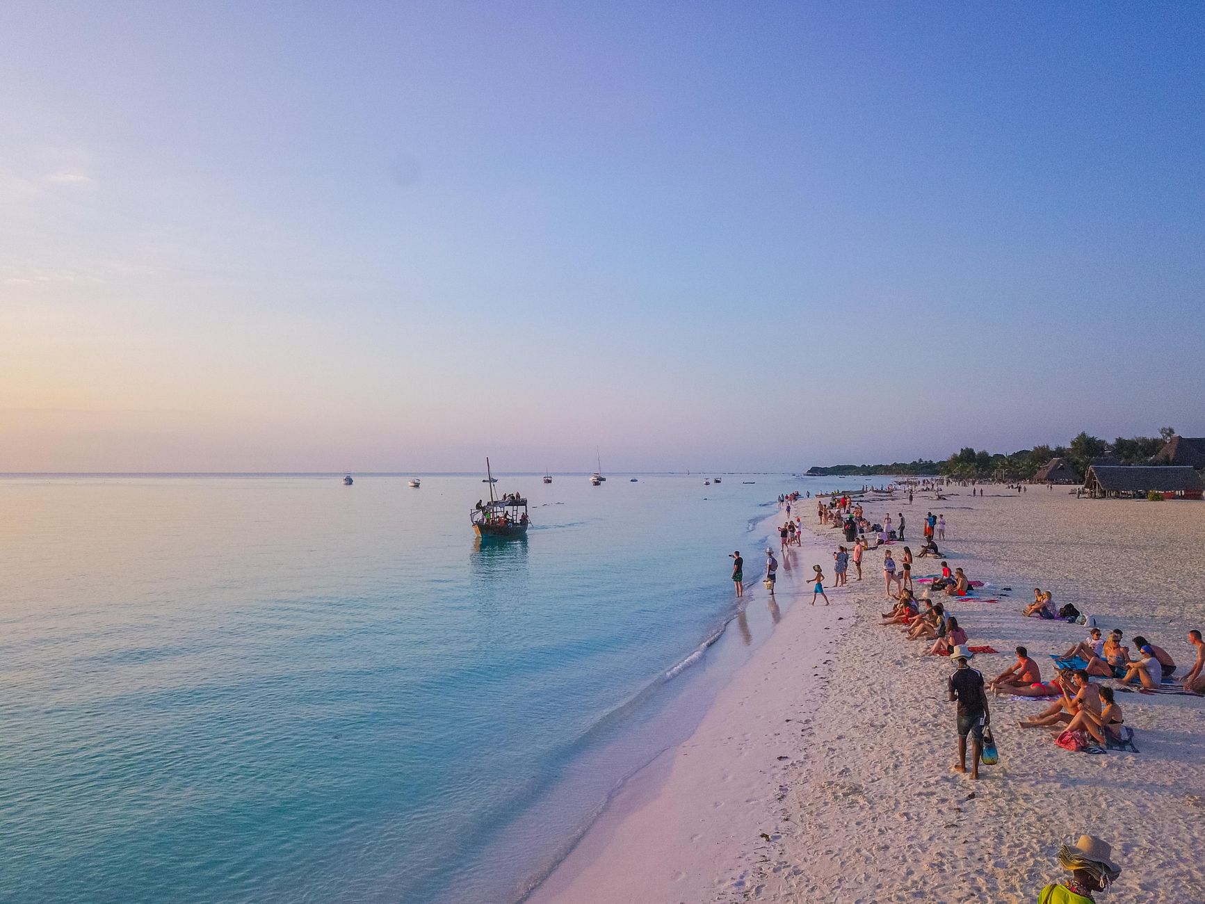

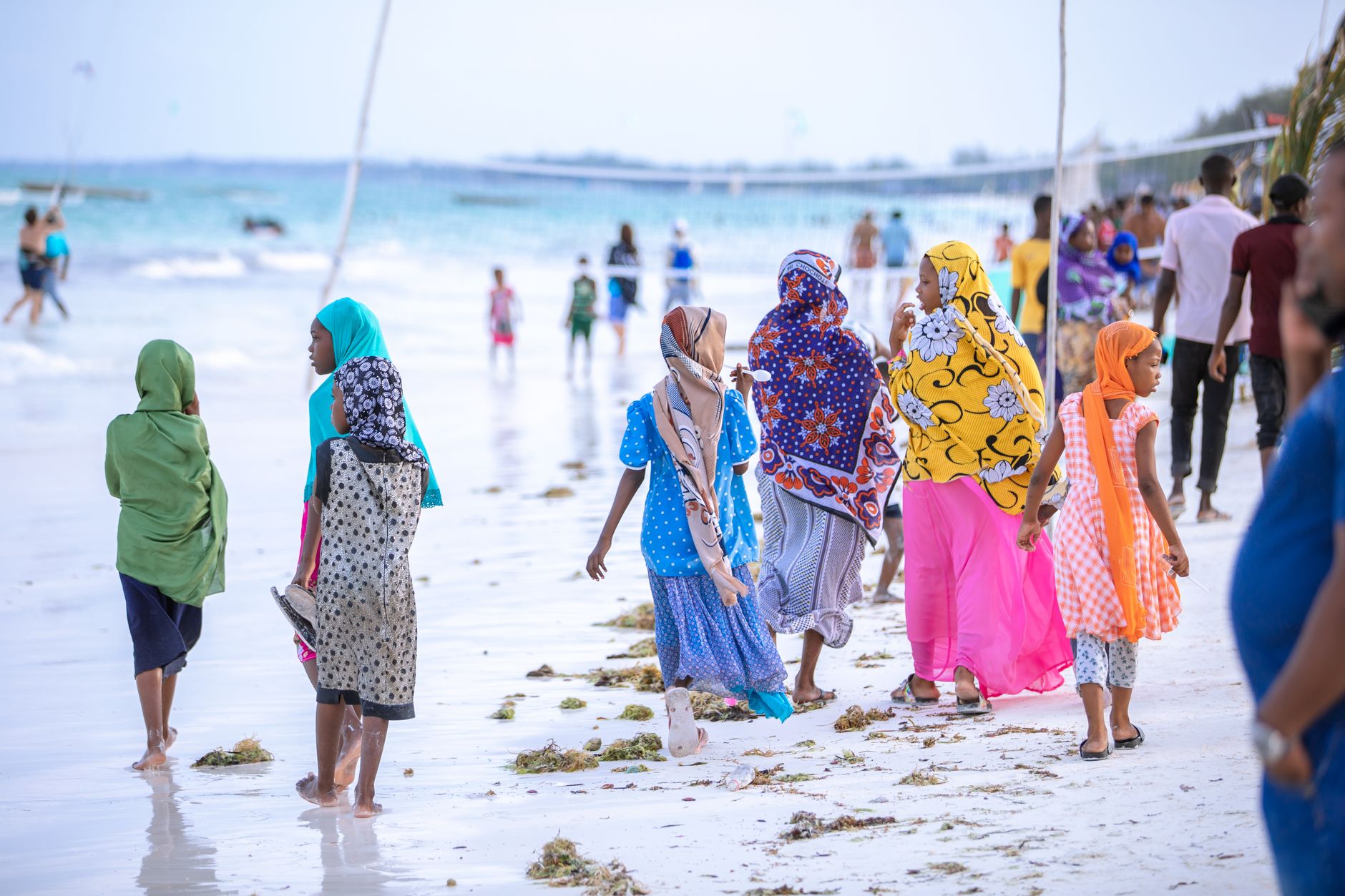
At the tip of Unguja Island, where Chwaka Bay meets the open Indian Ocean, Michamvi occupies a narrow peninsula that faces two directions at once — sunrise over open water to the east, sunset over the bay's glassy shallows to the west. The peninsula's rugged point, Ras Michamvi, sits about 68 kilometres from Stone Town, far enough that the road itself acts as a filter.
The beach splits into two distinct stretches: Michamvi Kae, lined with mangrove trees and relatively few structures, and Michamvi Pingwe to the north, where a handful of guesthouses and small restaurants have taken root. When the tide pulls out, it retreats a long way, exposing reef flats full of starfish and clams — less a swimming beach in those hours, more an invitation to walk.
💛 What travellers fall for
People who come back tend to mention the tides as a kind of clock — you learn them fast. Low tide means reef walking and the Blue Lagoon snorkel trips; high tide is for the water. The Masai who wander down to the shore for a greeting, then move on, become a quiet constant. Bring more cash than you think you need — ATMs are not close.
Deals in Michamvi
Book directly at the provider

How Michamvi came to be
Michamvi developed as a fishing settlement on one of Zanzibar's more remote coastlines, its position at the peninsula's tip making it useful for reading the tides and currents of both the bay and the open ocean. No specific founding date survives in the record, and the village has no single dramatic moment in Zanzibar's layered colonial and trade history — it simply persisted, shaped more by the rhythms of the reef than by outside events.
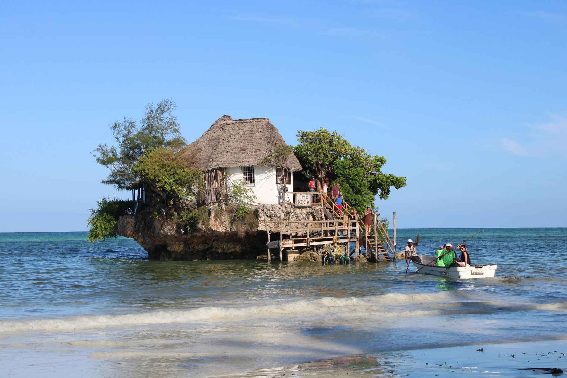
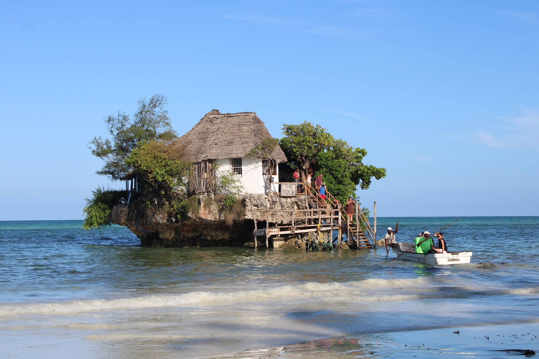
What changed in recent decades is gradual and modest: a few small lodges, the arrival of The Rock Restaurant on its improbable perch in the waters off Kae beach, and some organised diving and snorkelling out of the Blue Lagoon site. The fishing boats still go out. The palms still reach the shore.
Who and what shaped it
Landmark buildings
See Michamvi in motion
Plan your visit
On the map
When to go
June through October brings the clearest skies and the most manageable heat — daytime highs sit around 29°C, with August the coolest month of the year. The long rains run March through May, peaking sharply in April; the short rains arrive again from mid-October into December, though with less intensity.
Right now
Background & history adapted from Wikipedia (CC BY-SA) · specs from Wikidata (CC0) · weather from Open-Meteo · map data © OpenStreetMap contributors · photos from Wikimedia Commons / Unsplash with per-image credit. No third-party reviews or social posts reproduced.