
Matlock
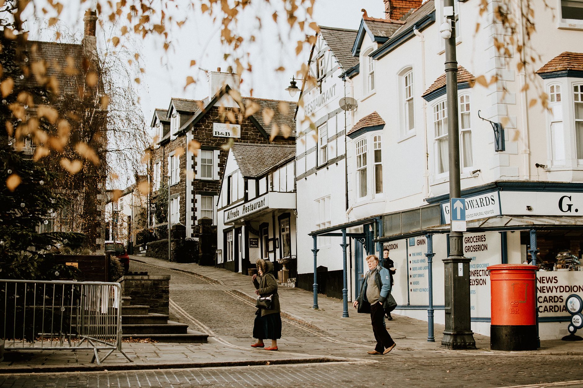
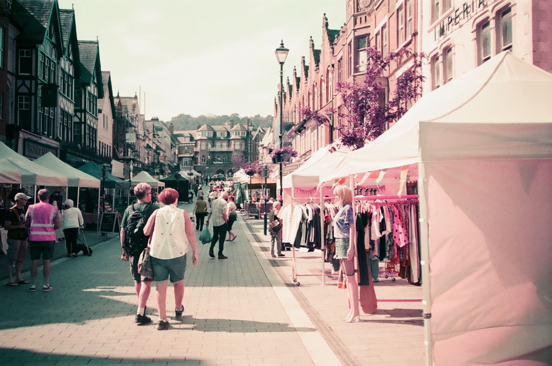

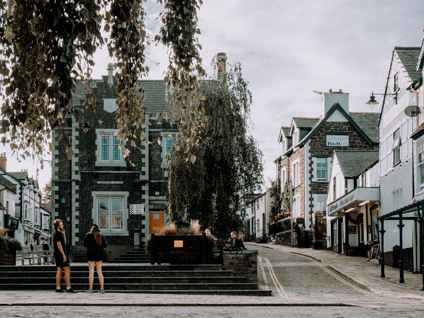
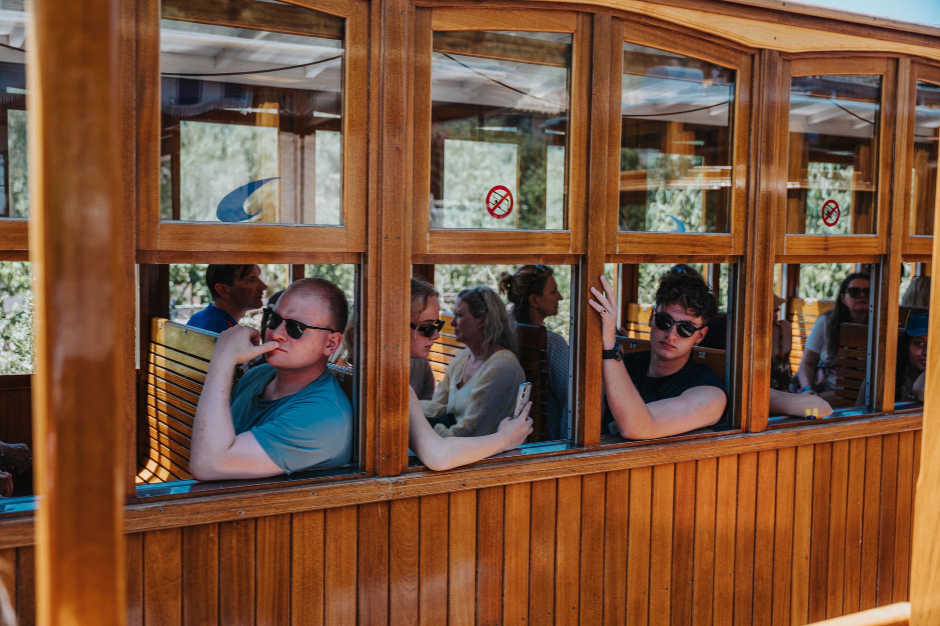
Matlock sits in the Derwent Valley with a Victorian spa town's bones still visible in its stonework — hydro buildings on the hillside, a Paxton-designed station at its foot, and Riber Castle keeping watch from the ridge above. It is the county town of Derbyshire, which means it carries administrative weight without the self-importance that sometimes follows.
The Heights of Abraham rise on the far bank of the river, accessible by cable car. Hall Leys Park runs along the water's edge with a boating lake and a miniature railway. The town is compact enough to read in a morning, and positioned well enough to spend several days using it as a base for the wider Peak District.
💛 What travellers fall for
People who come back tend to walk up to Riber Castle early, before the light flattens — the ruin reads better in morning shadow. They also mention the station's two-platform setup as genuinely useful: one side for East Midlands Railway into Derby and Nottingham, the other for Peak Rail's heritage services toward Rowsley South.
Deals in Matlock
Book directly at the provider


How Matlock came to be
The name Matlock traces back to an Old English phrase meaning the oak tree where meetings were held — a gathering place long before it became a destination. For most of its history it was an agricultural hamlet, with lead mining and quarrying on the side. That changed in 1698 when thermal springs were discovered, though it took another century and a half for the town to act on them seriously. A road cut through Scarthin Nick in 1818 opened access, and the railway arrived on 4 June 1849.
From that point, Matlock remade itself as a spa town. John Smedley — born 1803 — was the central figure, establishing hydrotherapy here and building the largest hydro in 1853. At the turn of the twentieth century more than twenty hydros were operating across the town. Smedley's own building closed in 1955 and reopened the following year as the headquarters of Derbyshire County Council, which it remains.
Who and what shaped it
People who shaped it
Landmark buildings
See Matlock in motion
Plan your visit
On the map
When to go
Summers run warm between July and August, with average highs reaching into the low-to-mid twenties Celsius — reasonable walking weather. Winters are cold and damp, with January averaging a high of just 5.6°C; the town receives rain fairly evenly through the year, with June typically the wettest month.
Right now
Background & history adapted from Wikipedia (CC BY-SA) · specs from Wikidata (CC0) · weather from Open-Meteo · map data © OpenStreetMap contributors · photos from Wikimedia Commons / Unsplash with per-image credit. No third-party reviews or social posts reproduced.