
Massa Marittima
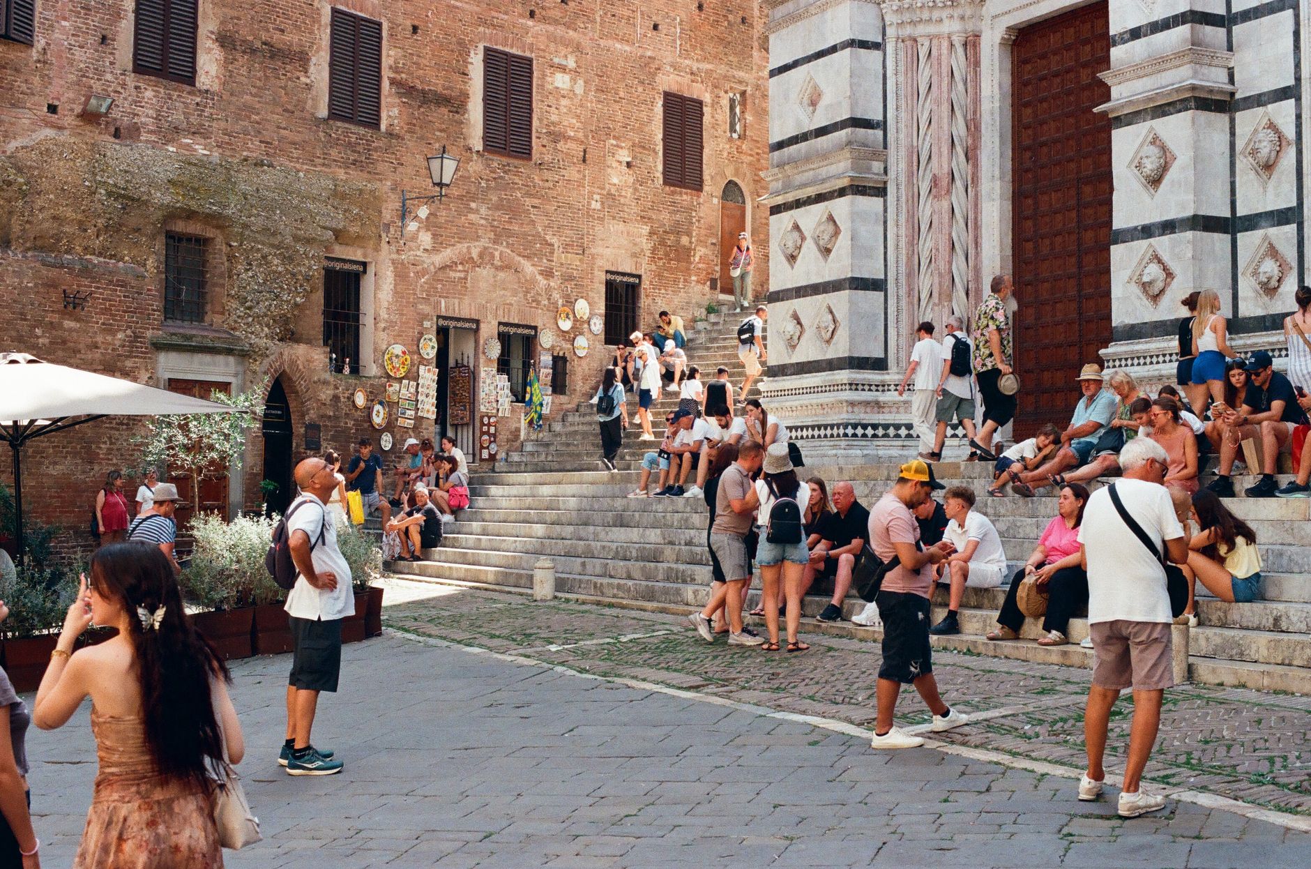
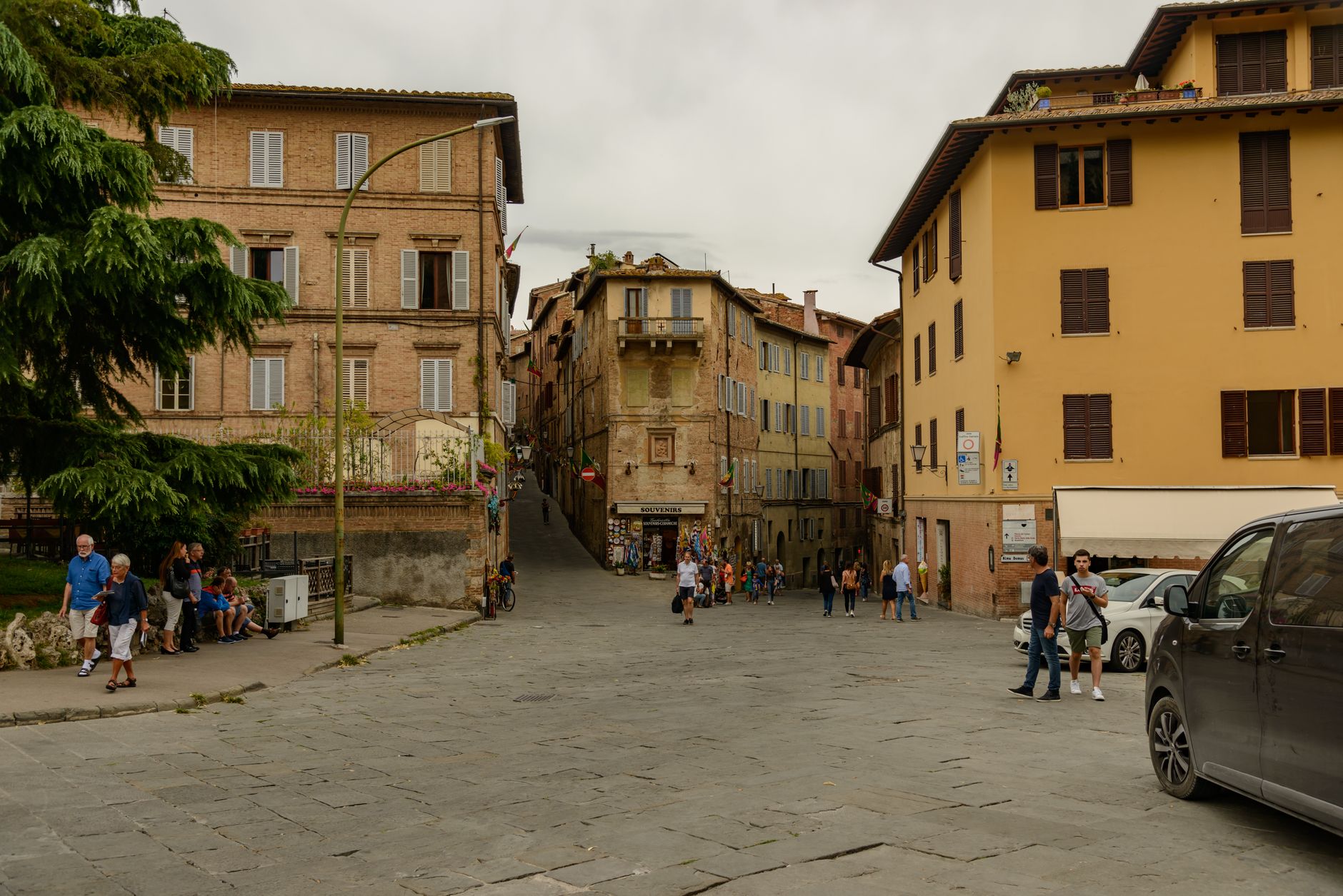
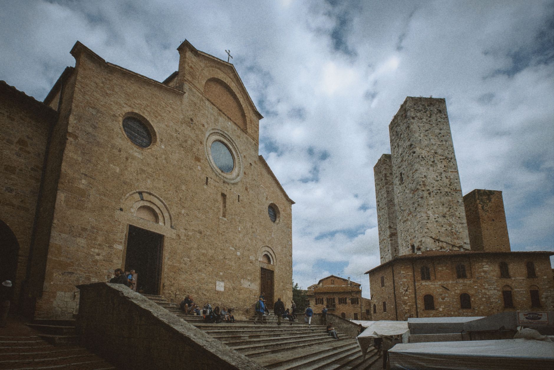
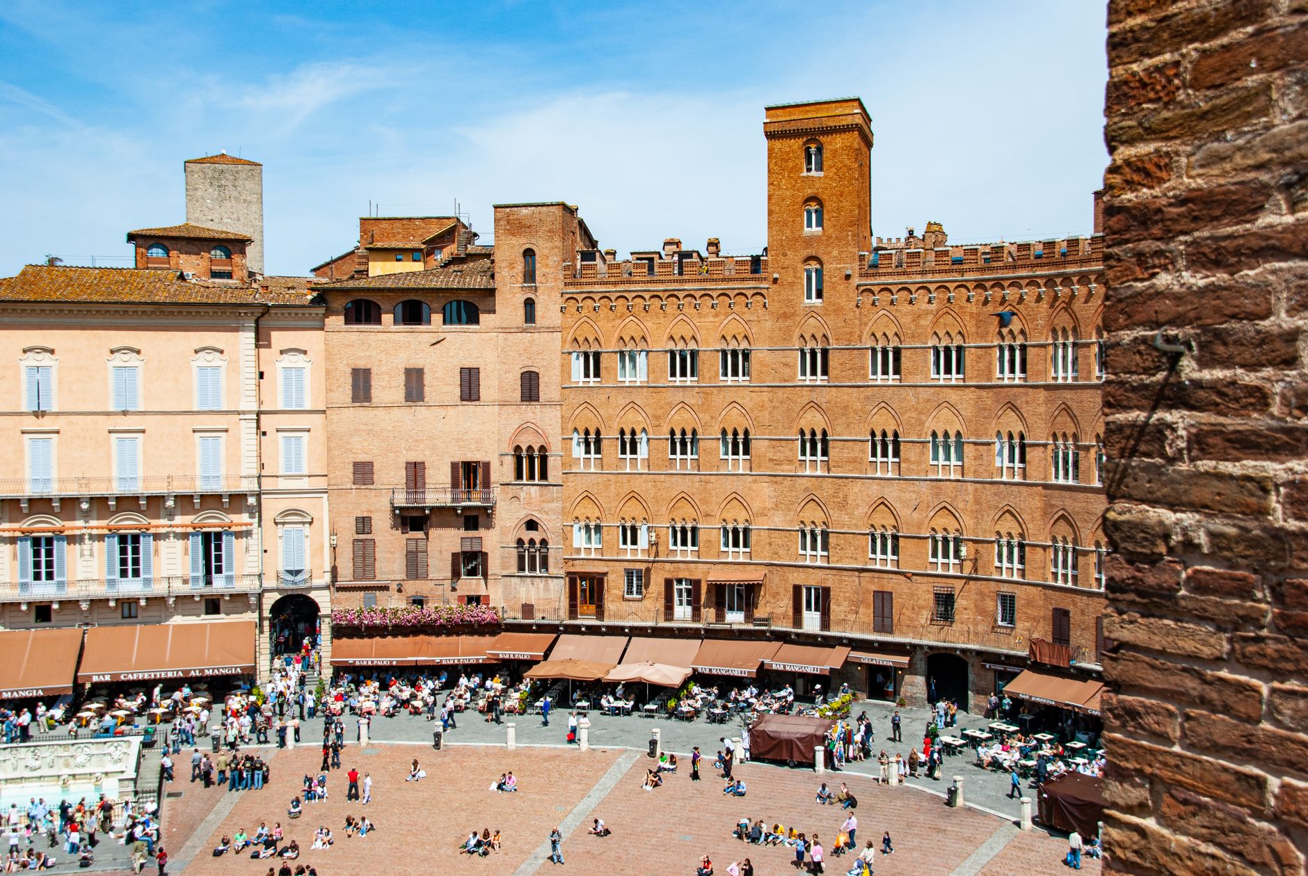
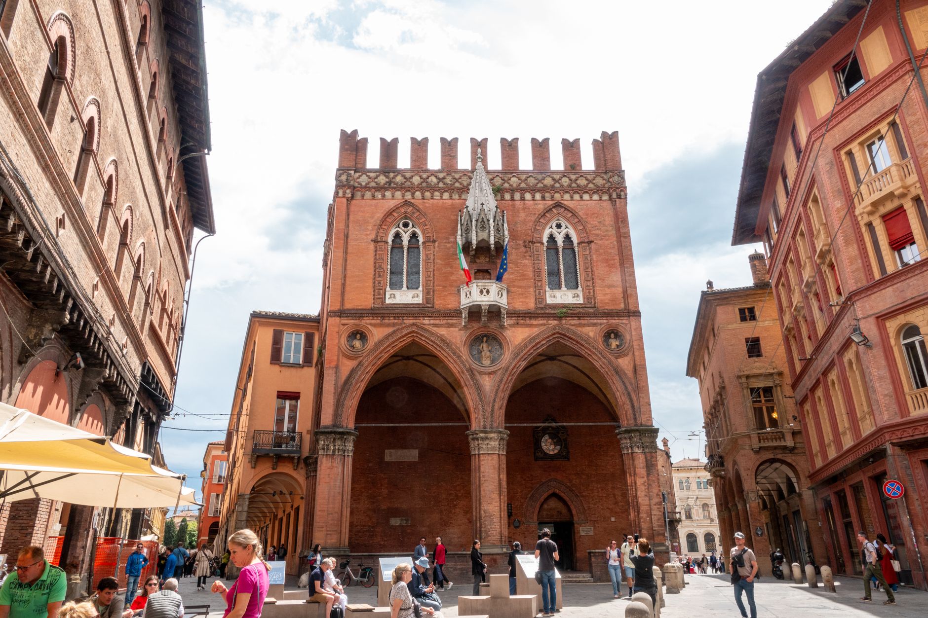
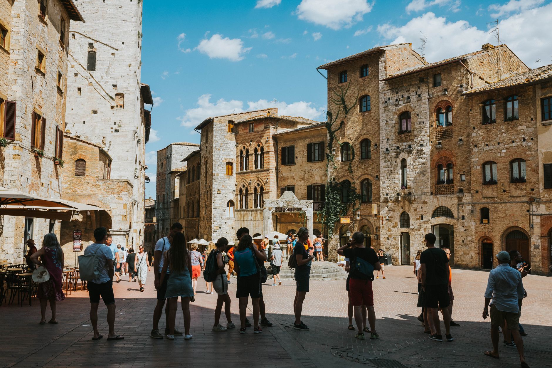
Piazza Garibaldi stops you short — a medieval square cut in an unusual star shape, framed by grey travertine and the pale façade of the Cathedral of San Cerbone. This is Massa Marittima, a hill town in the southern Maremma that spent its finest century as a free republic, minted its own coins, and built in stone with the confidence of somewhere that expected to last. The mining seams running beneath its hills — worked from Etruscan times until 1994 — made it rich, then made it a target.
At around 8,000 people, the town moves at its own pace. The historic center is compact enough to cross on foot, dense enough to reward a slow afternoon.
💛 What travellers fall for
People who come back tend to mention the fresco. The 'Tree of Fertility' inside the Fonti dell'Abbondanza was hidden under plaster until 1999 — a 13th-century image that reads as strange and layered even now. Pair it with the rose window in the cathedral, one of the rarer pieces of 14th-century glass still in place in Tuscany.
Experiences you don't want to miss




Deals in Massa Marittima
Book directly at the provider

How Massa Marittima came to be
The territory was Etruscan before it was anything else, and the ridge has been inhabited since the Paleolithic. By 1062 Massa had taken over the episcopal seat from the older coastal city of Populonia — a transfer confirmed in a letter from Pope Alexander II. Its real moment came in 1225, when Prince-bishop Alberto II stepped back from government and the city became an independent republic. The decades that followed were its peak: major building projects, a population that grew, and — briefly, from May 1317 — its own currency.
Siena ended it in 1335, cutting the Torre del Candeliere to a third of its height as a pointed reminder of who now held authority. Plague arrived in 1348 and again in 1400. The Medici absorbed the town into the Grand Duchy of Tuscany in 1555, and the last mine closed in 1994.
Who and what shaped it
People who shaped it
Landmark buildings
See Massa Marittima in motion
Plan your visit
On the map
When to go
Spring and early autumn are the most comfortable seasons — warm enough to walk the walls, cool enough to spend time indoors without feeling you've wasted the light. July and August push into the mid-30s Celsius; winters are mild but quiet, with some sites keeping reduced hours.
Right now
Background & history adapted from Wikipedia (CC BY-SA) · specs from Wikidata (CC0) · weather from Open-Meteo · map data © OpenStreetMap contributors · photos from Wikimedia Commons / Unsplash with per-image credit. No third-party reviews or social posts reproduced.