
Lycabettus Hill
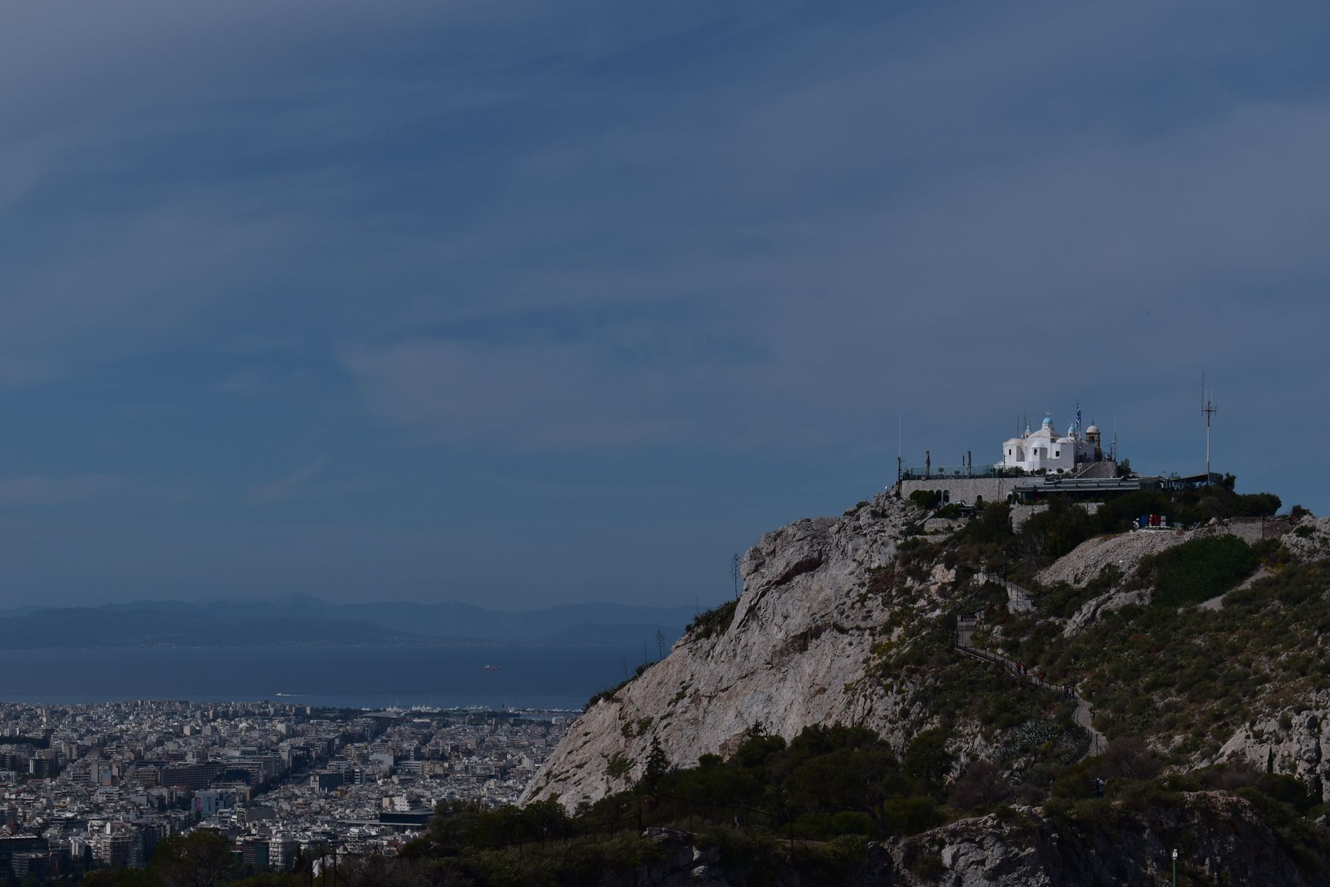
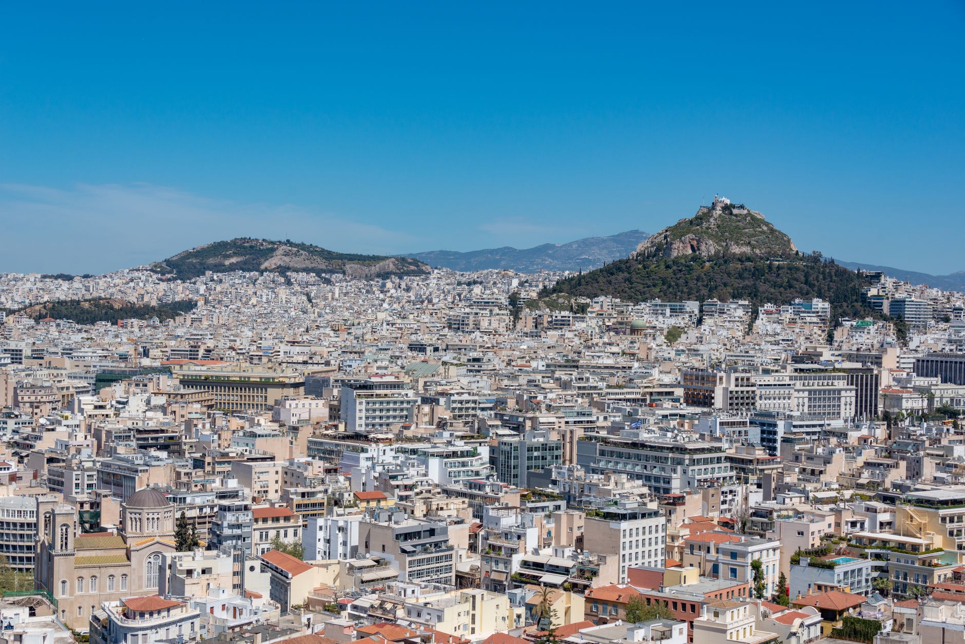
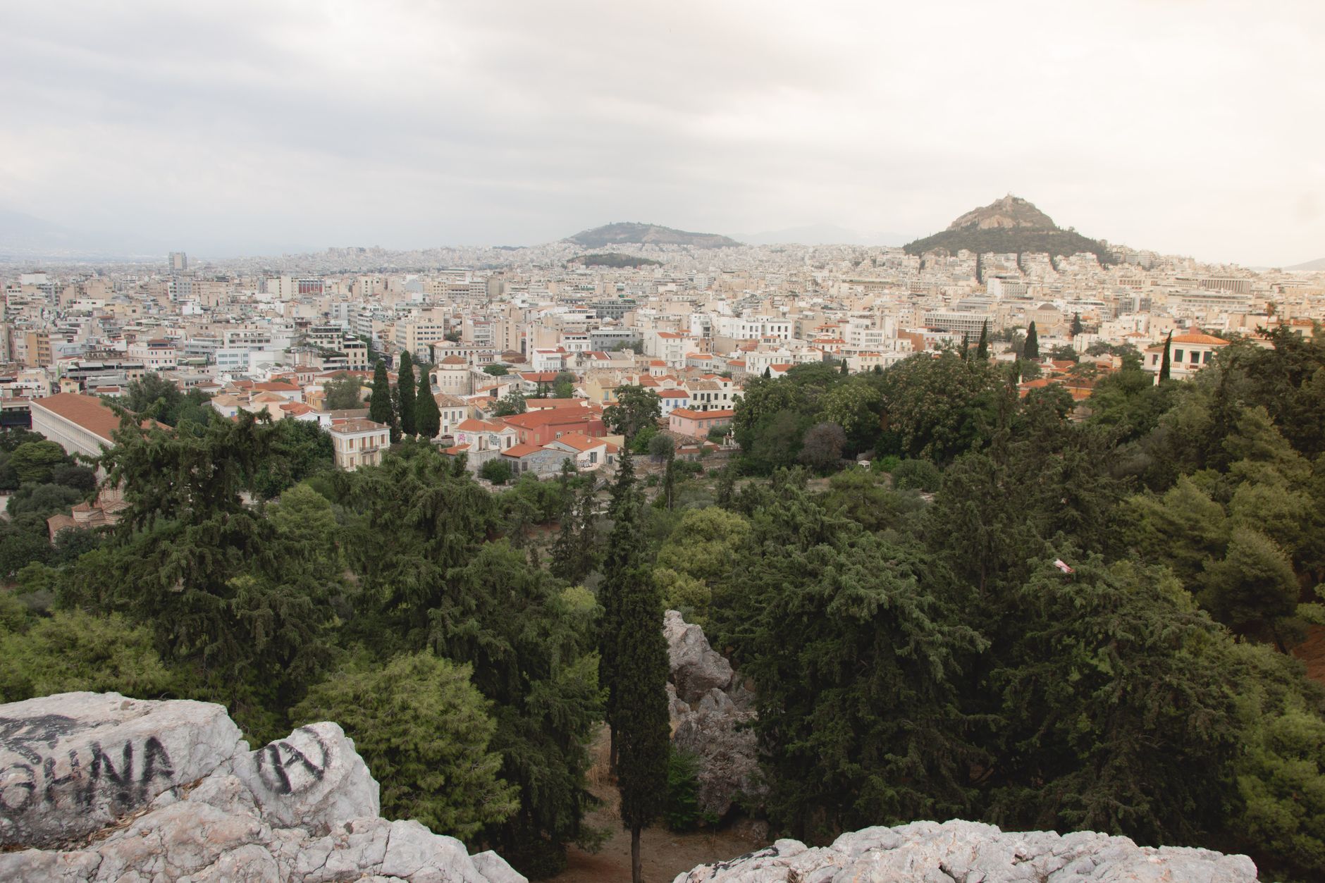
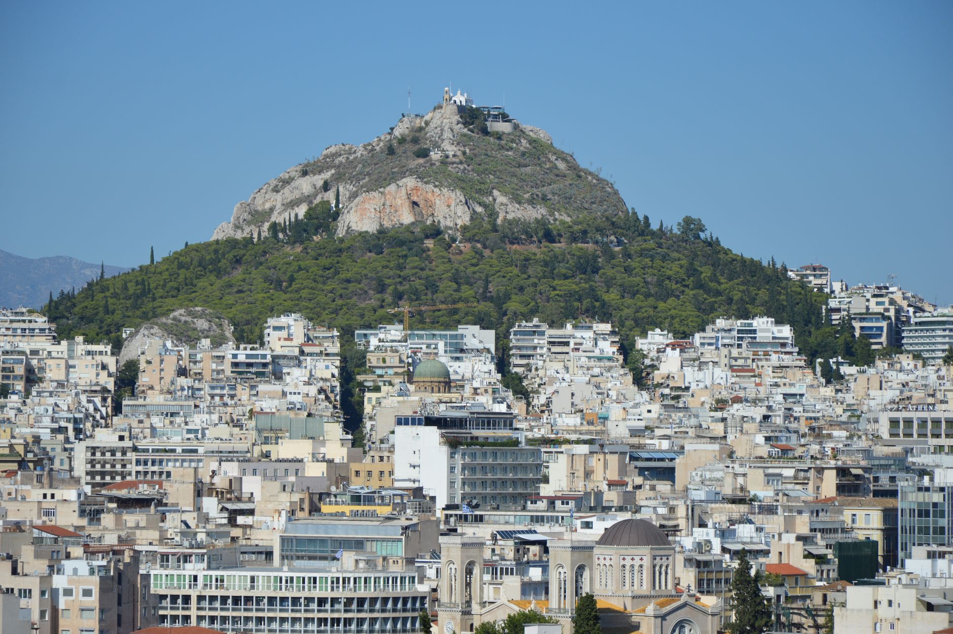
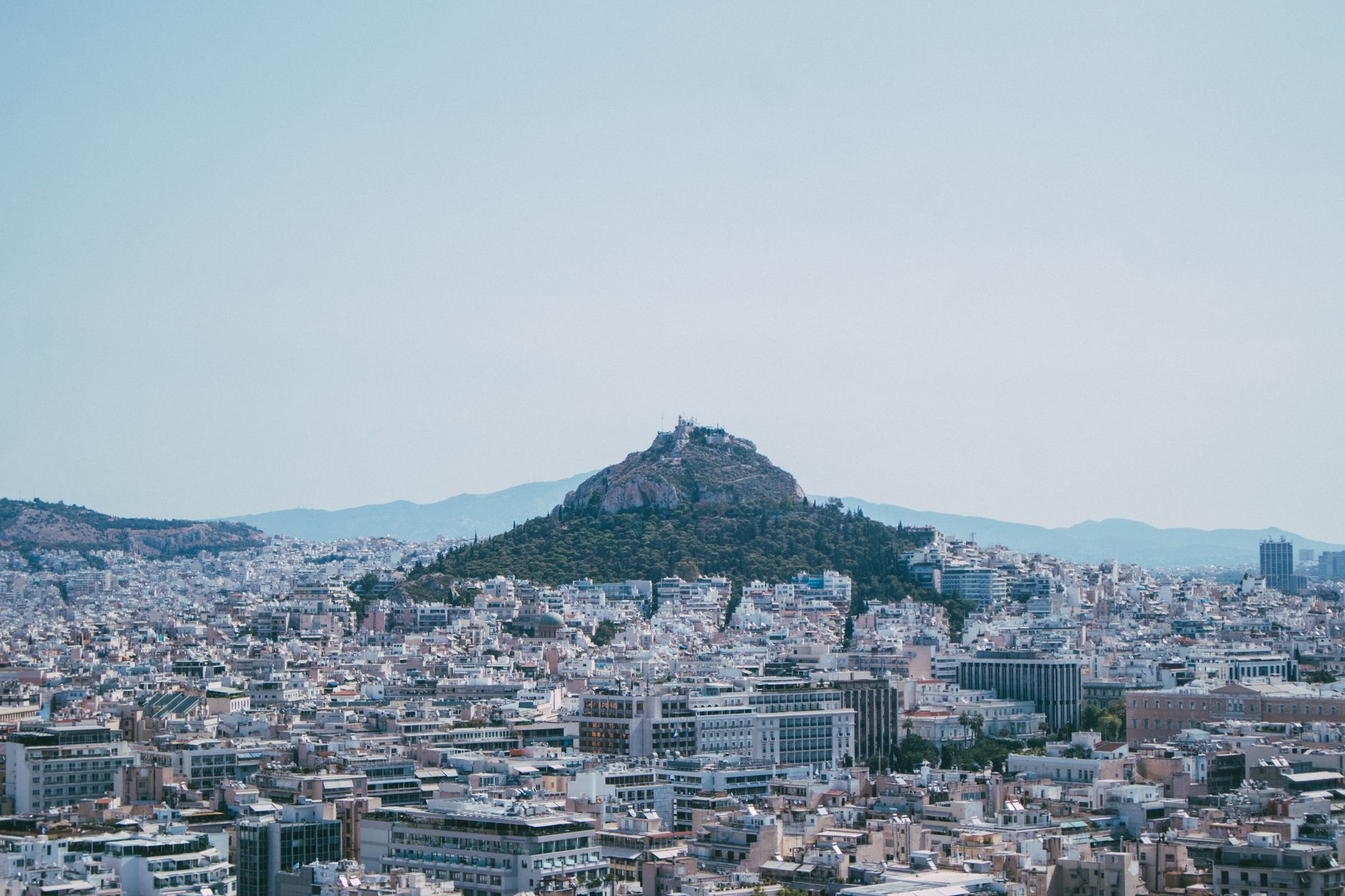
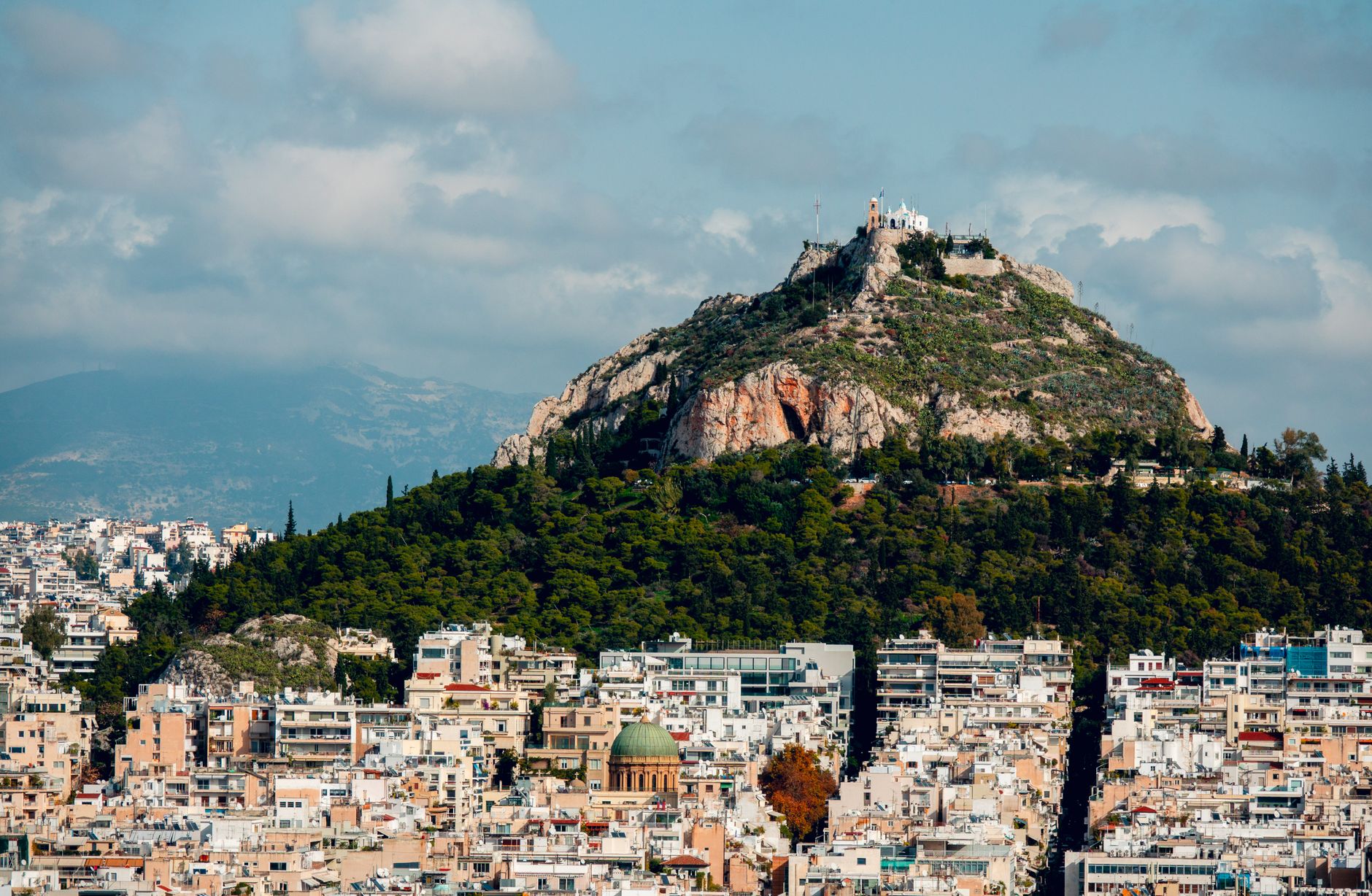
At 277 metres, Lycabettus is the highest point in central Athens — a slab of Cretaceous limestone that rises steeply above Kolonaki and puts the whole basin in front of you: the Acropolis below, Piraeus and the Saronic Gulf beyond, the mountains closing the horizon on every side. The city reads differently from up here. Streets you walked that morning shrink to grids; the smog, when there is smog, turns the light amber.
The summit holds a whitewashed chapel dedicated to Saint George, a restaurant with prices to match the view, and a 3,000-seat open-air theatre cut into an old quarry. You can take a five-minute funicular ride through a tunnel blasted straight through the hillside, or walk the pine-shaded switchbacks in about 45 minutes.
💛 What travellers fall for
People who come back tend to time it right: the funicular runs until 2:30 in the morning, and the summit after dark — city lights spreading to the water, the Acropolis lit below you — is a different experience from the midday rush. The Prasini Tenta café has been open since the early 1930s; it's the quieter, cheaper stop before the descent.
Deals in Lycabettus Hill
Book directly at the provider
How Lycabettus Hill came to be
The hill was crowned in antiquity by a temple to Zeus, and the stone beneath your feet was quarried for centuries to build the neoclassical city below. After the Ottoman period the summit was largely abandoned, and it was a single monk, Emmanuel Louloudakis, who climbed up in 1834, cleared the rubble, and rebuilt the Chapel of Prophet Eli — rededicated to Saint George. He lived long enough to be buried next to it; his tomb is still there. The chapel's tall belfry was a gift from Queen Olga to the people of Athens in the late 19th century.
Between 1880 and 1915 the slopes were replanted. The funicular opened in 1965. Construction of the open-air theatre — designed by architect Takis Zenetos in the shell of the old quarry — began in 1964; it closed in 2008 for safety reasons and reopened in September 2023.
Who and what shaped it
People who shaped it
Landmark buildings
See Lycabettus Hill in motion
Plan your visit
On the map
When to go
Summer (June–August) brings dry, intense heat; the exposed summit offers a breeze that the streets below don't, but go early or at night. Spring and autumn are the most comfortable seasons for the walk up. Winter evenings are cold and often clear, and the city lights carry further in dry air.
Right now
Background & history adapted from Wikipedia (CC BY-SA) · specs from Wikidata (CC0) · weather from Open-Meteo · map data © OpenStreetMap contributors · photos from Wikimedia Commons / Unsplash with per-image credit. No third-party reviews or social posts reproduced.