
Luz-Saint-Sauveur

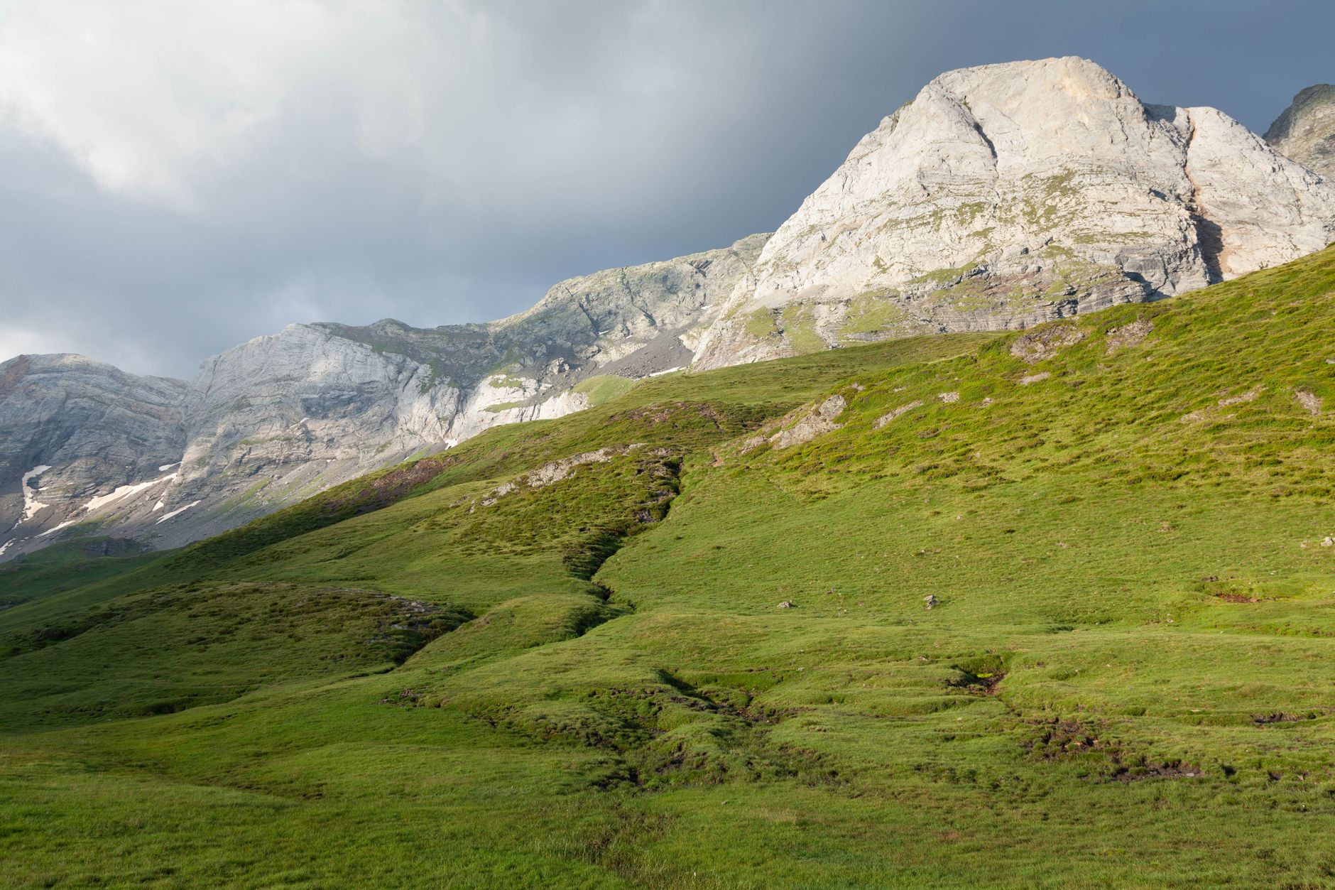
At 677 metres, Luz-Saint-Sauveur sits in a mountain hollow so enclosed by ridgelines that the outside world seems to have been deliberately edited out. The Pierrefitte gorge seals the valley to the north; peaks crowd in from three other sides. What remains is a small town built around warm mineral springs, a fortified Templar church, and a bridge Napoleon III opened in 1863 — high enough at 65 metres that they crowned it with a 14-metre stone column and a colossal eagle, just to make the point.
The town has two halves that grew into each other: Luz, the older village with its medieval church, and Saint-Sauveur, the thermal quarter. Monday mornings bring a market. The road south climbs toward Gavarnie and the national park; the road north threads through gorge walls toward Lourdes, half an hour away.
💛 What travellers fall for
People who come back tend to time it for a Monday market morning, then walk up to the Chapelle de Solférino before the afternoon clouds build. The thermal baths — 33°C, founded in the 16th century — are worth an hour if your legs have earned it from the day before. The eagle on the Pont Napoléon is easier to spot from below than from the bridge itself.
Experiences you don't want to miss


Deals in Luz-Saint-Sauveur
Book directly at the provider

How Luz-Saint-Sauveur came to be
The valley spent several decades under English rule following 1360, until 1404, when forces under the Comte de Clermont — aided by the valley's own inhabitants, led by Aougé de Coufitte — retook the castle and expelled them. The fortified church of Saint-André, built in the 12th and 13th centuries, preserves the logic of that era: high walls enclosing a refuge against Spanish raiders, a place where the whole community could disappear behind stone.
The town's second historical chapter belongs to Napoleon III and Empress Eugénie, who came for the thermal cure in the summer of 1859. The emperor left two marks: the Chapelle de Solférino, rebuilt that same year on the ruins of a Hospitaller chapel to honour the battle's dead, and the Pont Napoléon, connecting the two banks of the Gavarnie Gave — inaugurated finally in September 1863, its stone eagle watching the gorge below.
Who and what shaped it
People who shaped it
Landmark buildings
See Luz-Saint-Sauveur in motion
Plan your visit
On the map
When to go
Summers are mild and short — August averages around 22°C in the day, with cool nights — and the valley receives heavy precipitation year-round, peaking in May at around 172 mm. Winter brings genuine cold (February nights can drop to -3°C) and mountain road closures, so the window between June and September is when the place is fully open to itself.
Right now
Background & history adapted from Wikipedia (CC BY-SA) · specs from Wikidata (CC0) · weather from Open-Meteo · map data © OpenStreetMap contributors · photos from Wikimedia Commons / Unsplash with per-image credit. No third-party reviews or social posts reproduced.