
Lukla
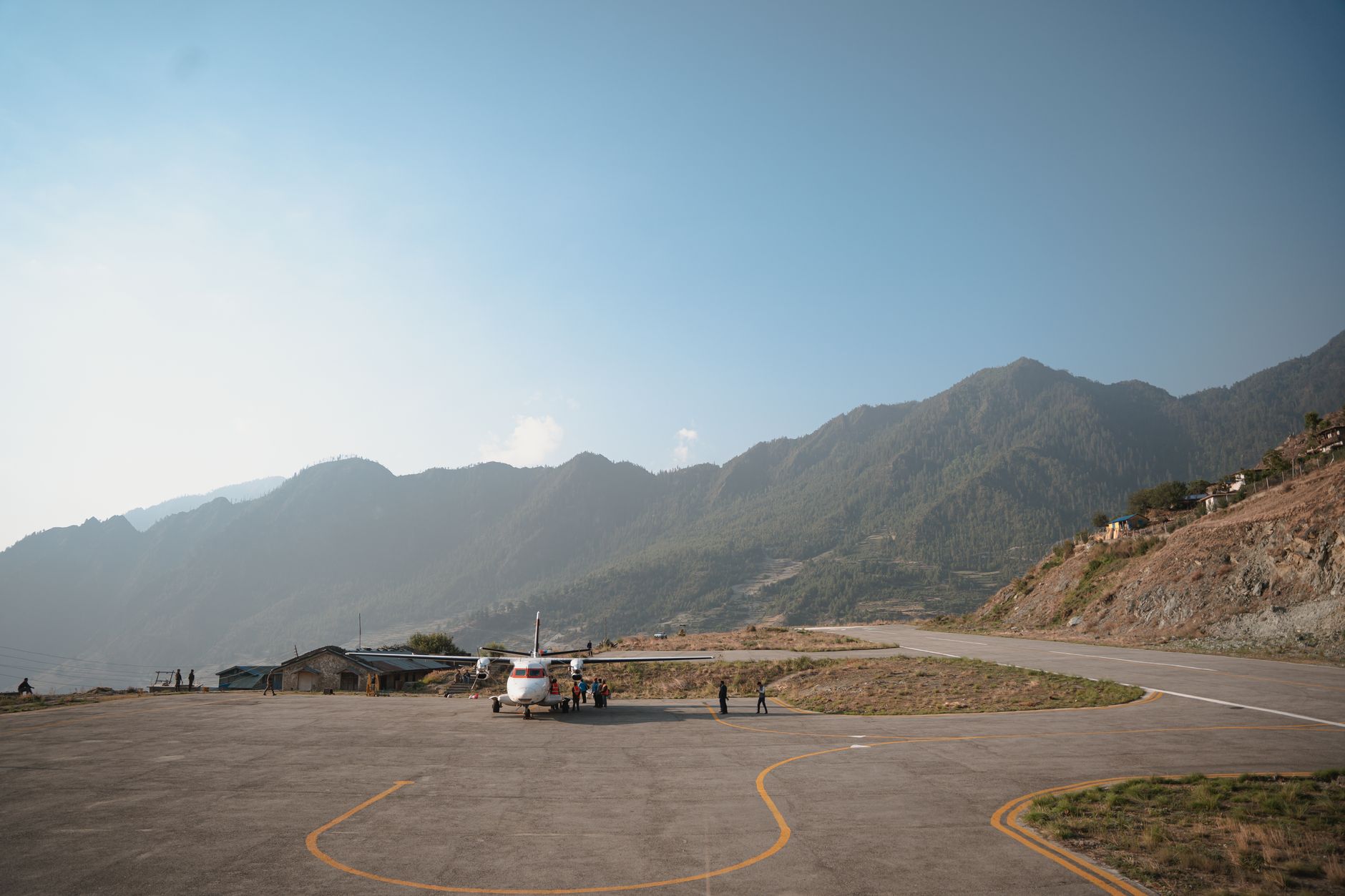
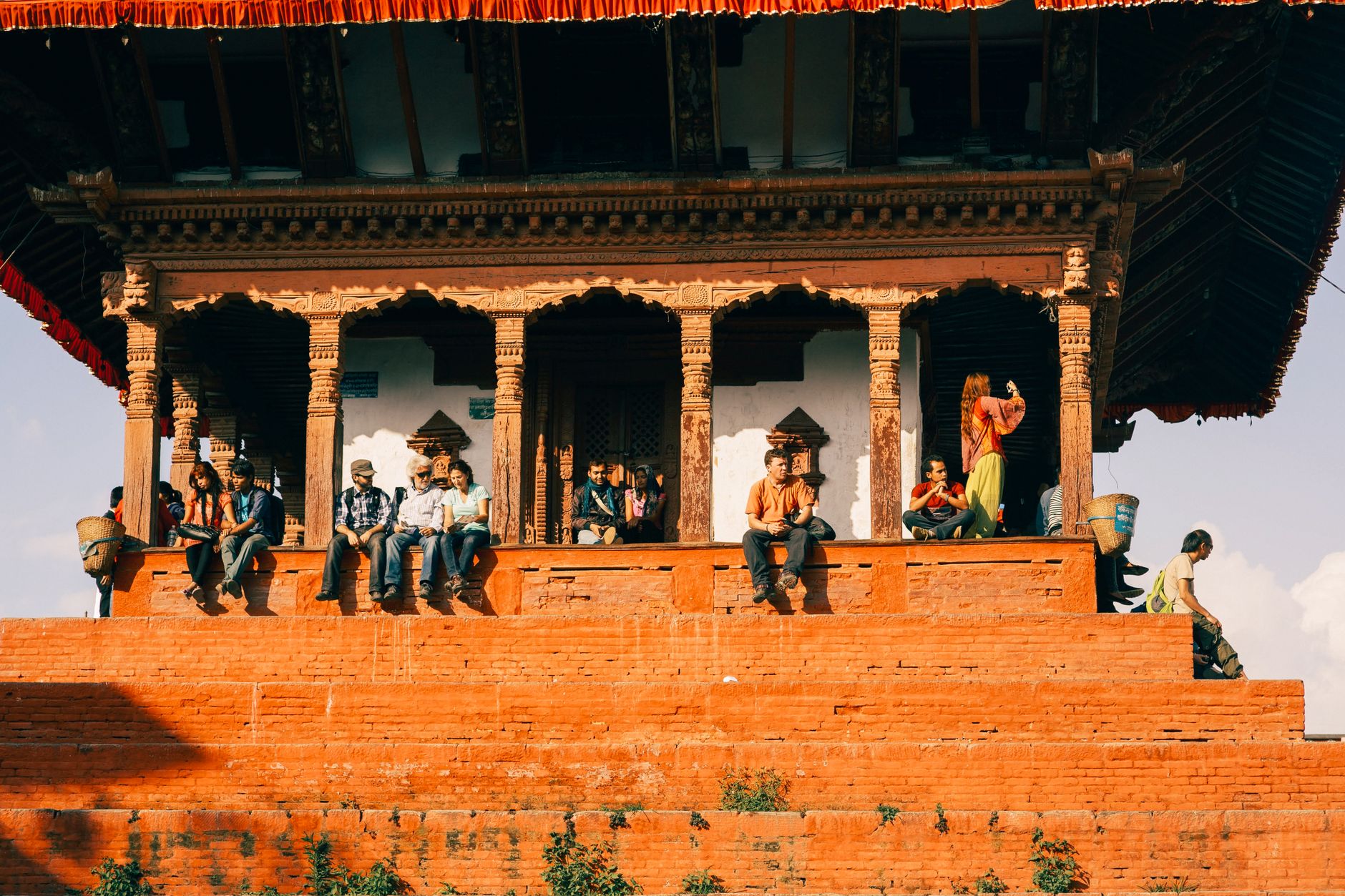
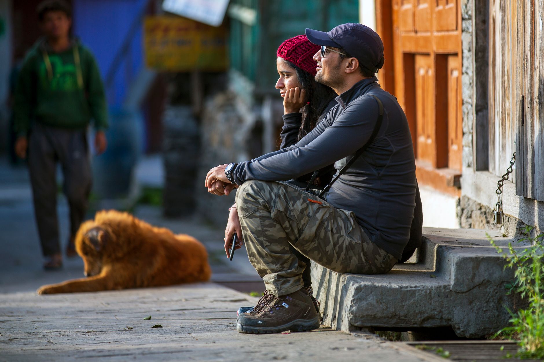
Lukla greets you with the sound of a small propeller engine and the sight of a runway that ends at a cliff. At 2,845 metres, the strip is 527 metres long and tilts uphill at nearly 12 degrees — the gradient that slows incoming planes and launches departing ones into thin Himalayan air. Everything about this place is organised around that single strip of asphalt.
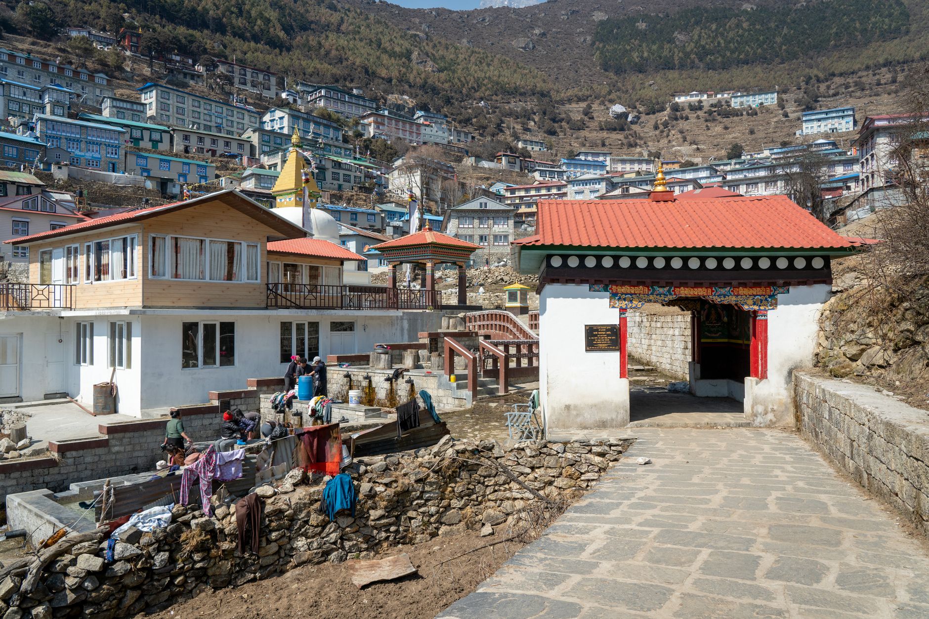
Beyond the terminal, a stone-paved main street runs through a tight corridor of tea houses, bakeries, and gear shops before arriving at the Pasang Lhamu Memorial Gate, where painted Buddhist murals mark the threshold to the Khumbu Valley. Lukla is not a destination so much as a beginning — and, after weeks in the mountains, a very welcome end.
💛 What travellers fall for
Seasoned trekkers learn to book the first flight out, not the last. Weather closes the airport by mid-morning when southwest winds kick in, and a cancelled afternoon slot can strand you for days. Pack one set of warm layers in your carry-on — the 10 kg checked limit is enforced, and the baggage hall is just a cold open room.
Deals in Lukla
Book directly at the provider
How Lukla came to be
Before the runway, Lukla was a Sherpa farming settlement whose name translates roughly as 'place with many goats and sheep.' The land was high-altitude pasture, and it might have stayed that way had Sir Edmund Hillary not arrived in 1964 with a plan. Wanting to move supplies for schools and hospitals he was building in the region, Hillary needed an airstrip. Local farmers refused to give up flat ground, so the airfield was carved into the mountainside instead. Hillary bought the land from Sherpa families for USD 2,650 and built the strip with their labour.
The airfield opened for official flights in 1971 and its runway was paved in 2001. On 10 February 2008, it was formally renamed Tenzing–Hillary Airport, honouring both the New Zealand mountaineer who funded it and the Sherpa guide who stood beside him on Everest's summit.
Who and what shaped it
People who shaped it
Landmark buildings
See Lukla in motion
Plan your visit
On the map
When to go
January temperatures can drop to around -15°C, while July — the warmest month — rarely climbs above 8°C, so layers are non-negotiable year-round. Pre-monsoon (March–May) and post-monsoon (October–November) offer the clearest skies and the most reliable flying windows; the monsoon months bring heavy cloud cover that grounds flights roughly half the time.
Right now
Background & history adapted from Wikipedia (CC BY-SA) · specs from Wikidata (CC0) · weather from Open-Meteo · map data © OpenStreetMap contributors · photos from Wikimedia Commons / Unsplash with per-image credit. No third-party reviews or social posts reproduced.