
Lujiazui
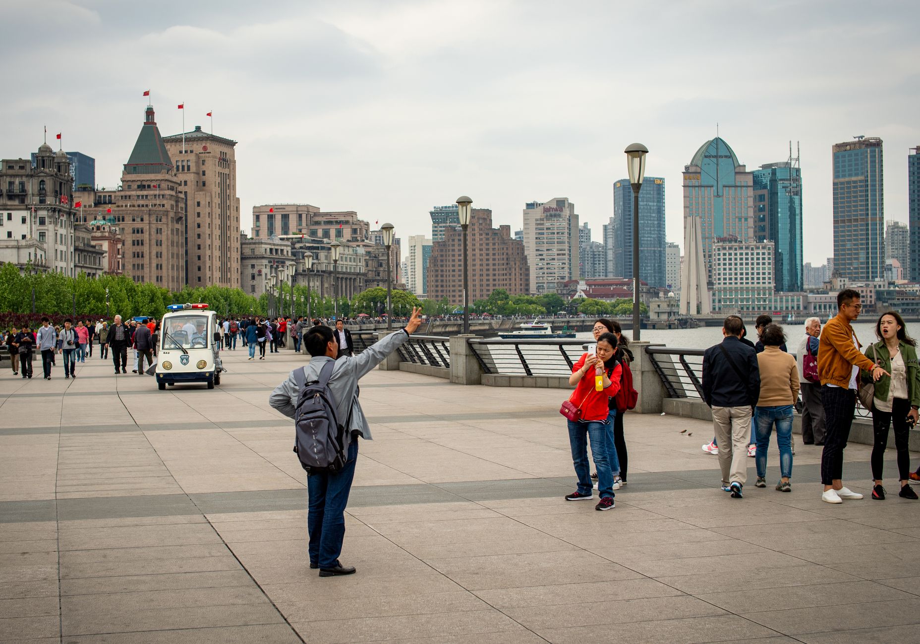
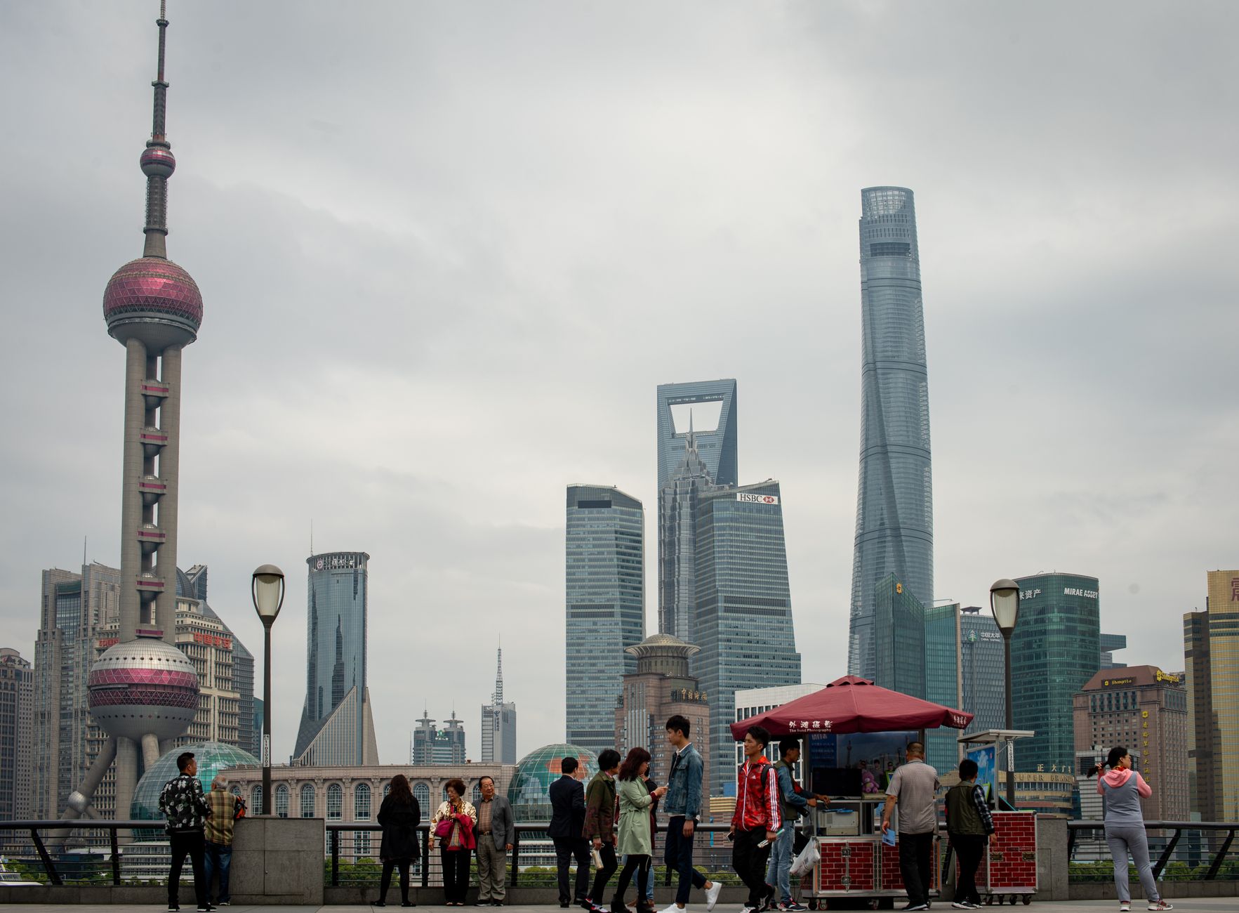
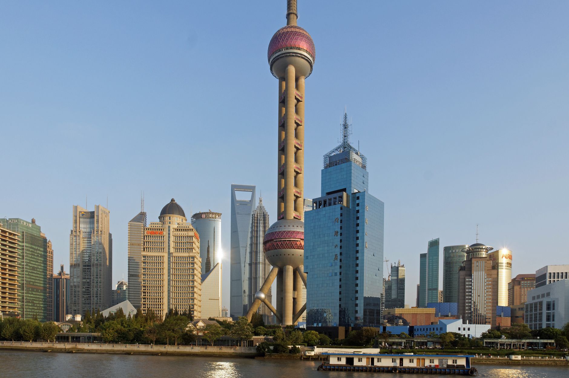
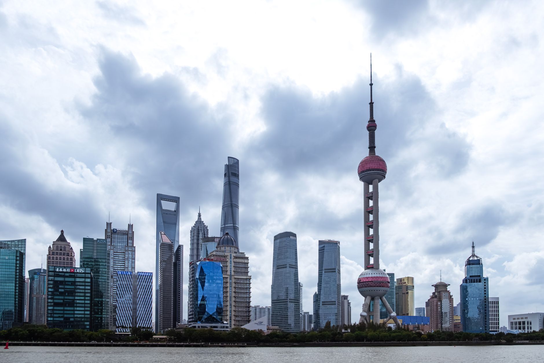
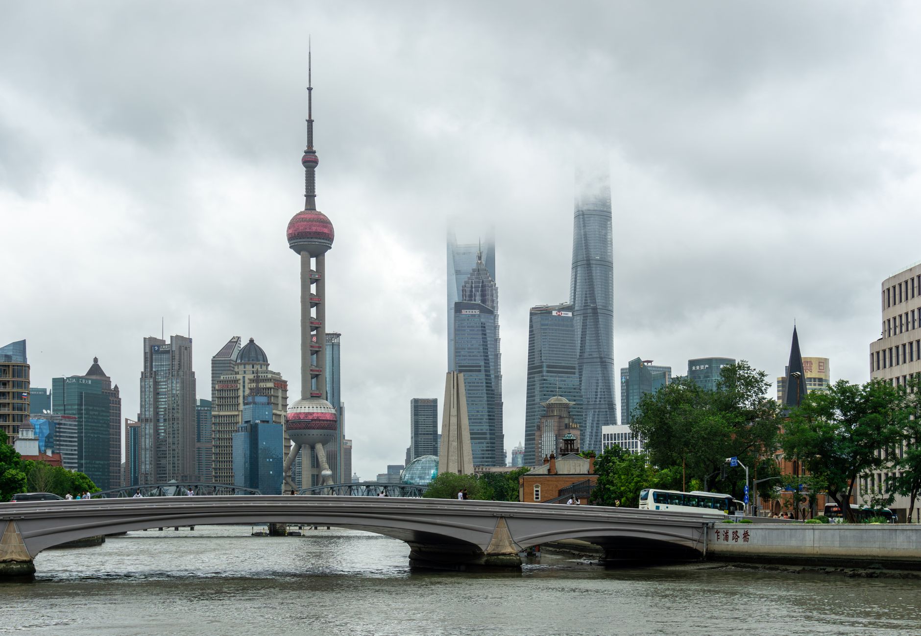
Stand at the edge of Lujiazui Central Green — 25 acres of open lawn, which is the largest of its kind in the city — and the skyline arranges itself around you like something that was always inevitable. The Shanghai Tower twists 632 metres into the sky at your back, the World Financial Center's rectangular void punches through the air beside it, and the Oriental Pearl Tower's pink spheres, which once seemed futuristic and now seem almost sentimental, anchor the riverfront.
This is Pudong's financial district, the place that didn't really exist until the 1990s, built fast and with intent on a peninsula that was still warehouses and fishing villages within living memory. The Huangpu River runs along its western edge, and across the water sits the Bund — the two shorelines in constant conversation.
💛 What travellers fall for
People who come back tend to take the elevator in the Shanghai Tower at least once — 18 metres per second, 55 seconds from basement to the 546-metre observation deck on floors 118-119. Go on a weekday morning before the tour groups arrive. The ferry from Dongchang Road Wharf across to the Bund costs almost nothing and gives you the photograph that the promenade crowds are all chasing.
Deals in Lujiazui
Book directly at the provider


How Lujiazui came to be
The name comes from Lu Shen, a Ming Dynasty Imperial Academy scholar born in the area. By the Ming period, fishermen were already recorded here; Qing-era levee construction on the peninsula drew more settlers, and a cluster of villages grew up around the wharves. One stretch of the riverbank acquired the name Lannidu — literally 'Mud Ferry' — after a wharf that served the crossing.
Lujiazui's transformation from low-rise industrial waterfront to vertical financial centre was a deliberate act of policy. A 1986 government document first floated the development of Pudong; by 1990 the policy was official, and in 1992 Lujiazui was designated a special investment zone. That same year, an international design competition brought in architects including Richard Rogers, Dominique Perrault, Massimiliano Fuksas, and Toyo Ito. The skyline that followed — the Oriental Pearl Tower in 1994, Jin Mao in 1999, the World Financial Center in 2008, the Shanghai Tower in 2016 — was built in under three decades.
Who and what shaped it
People who shaped it
Landmark buildings
See Lujiazui in motion
Plan your visit
On the map
When to go
Spring (March to May) and autumn (September to November) are the most comfortable seasons, with mild temperatures and reasonable visibility for the skyline views. Summer brings intense heat and humidity, and frequent haze; winter is grey and damp but rarely severe.
Right now
Background & history adapted from Wikipedia (CC BY-SA) · specs from Wikidata (CC0) · weather from Open-Meteo · map data © OpenStreetMap contributors · photos from Wikimedia Commons / Unsplash with per-image credit. No third-party reviews or social posts reproduced.