
Likoni
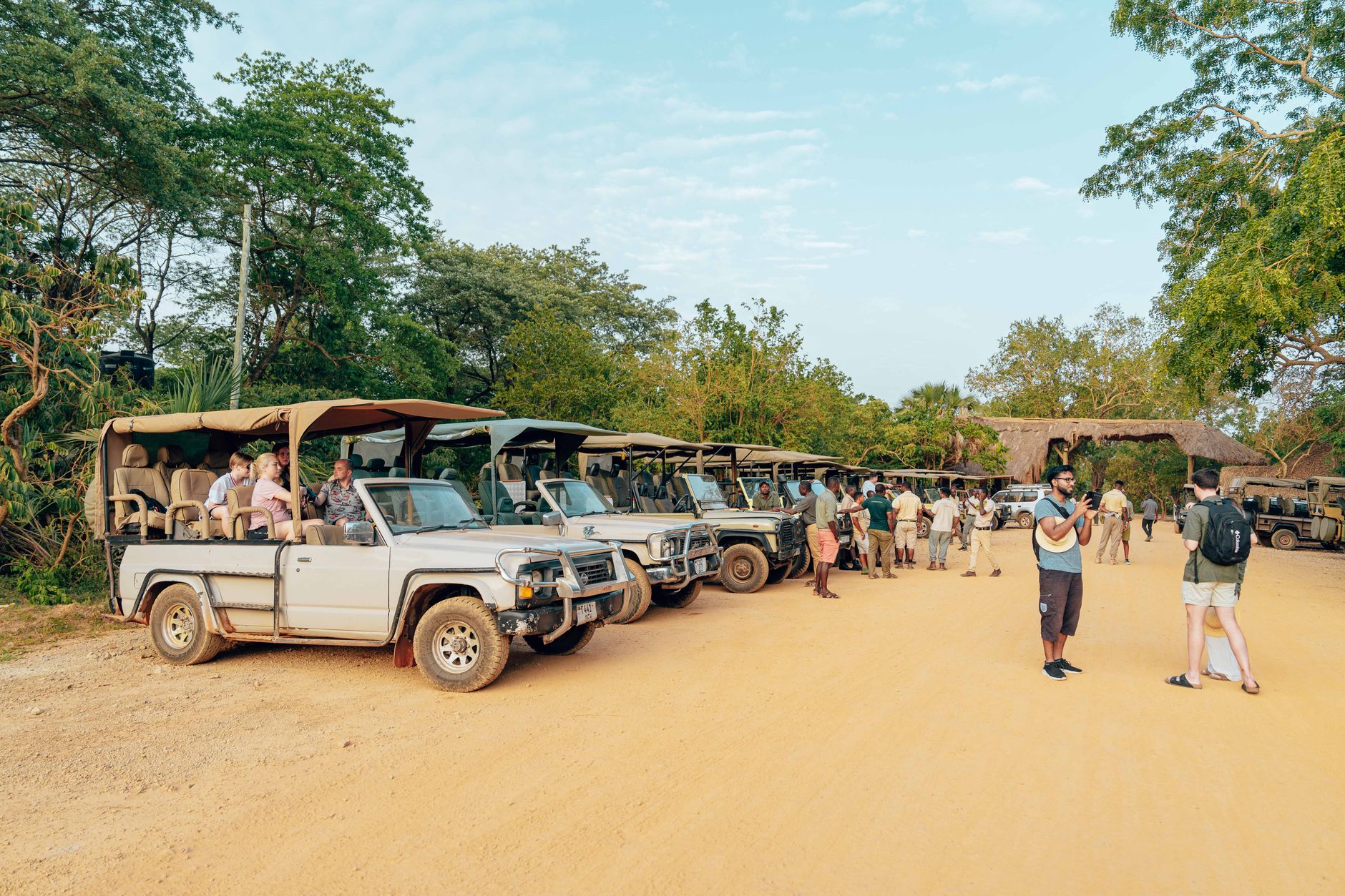


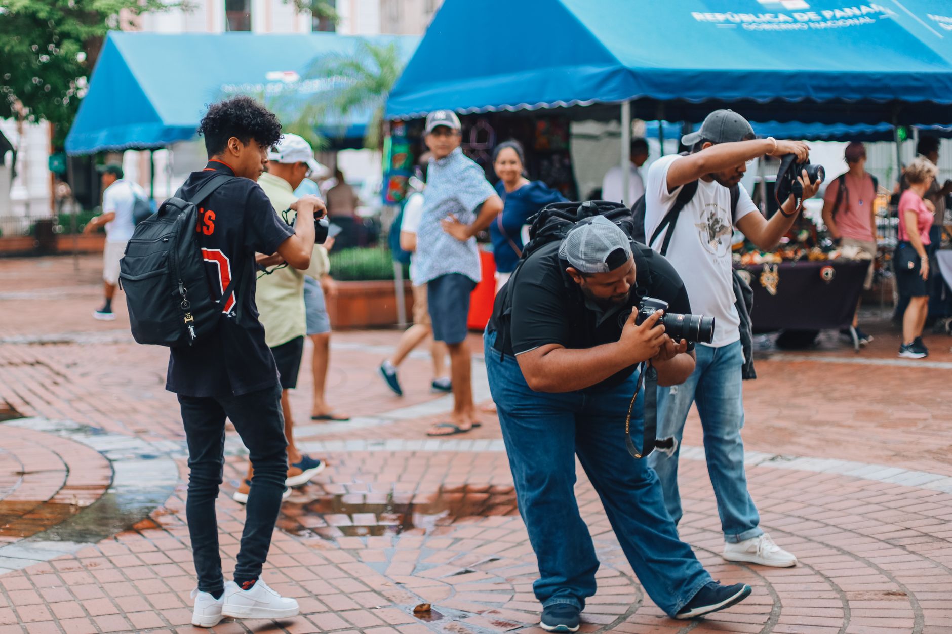
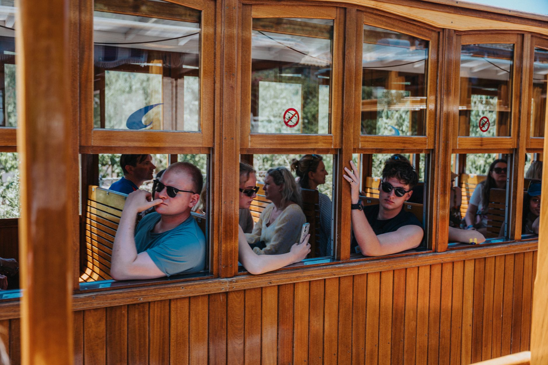
You reach Likoni the same way everyone does: by water. The Likoni Ferry has been making the roughly 500-metre crossing of Kilindini Harbour since at least 1937, and the ten-minute ride — free for foot passengers, paid by vehicle toll through M-Pesa — is less a transit option than a daily ritual for the people who live here. On the mainland side, life has a different pace from Mombasa Island. Stone-and-mortar houses line streets where neighbours still gather at open-air spots called maskani to talk, and the phrase you hear most often is that it feels like a village inside a city.
Shelly Beach, the second-largest public beach on the Kenyan coast, anchors Likoni's southern edge. It once drew serious water-sports crowds — deep-sea divers, sailors, water-skiers — before that tourist economy faded. What remains is quieter and more local, a place where the sea is background to everyday life rather than spectacle.
💛 What travellers fall for
People who come back tend to time the ferry for early morning, when the crowd is commuters rather than cars and the harbour light is low and copper-coloured. They also point out that Shelly Beach is far less trafficked on weekday mornings than any beach closer to Mombasa Central, and that the crossing itself — standing on the open deck — is worth the trip on its own terms.
Deals in Likoni
Book directly at the provider


How Likoni came to be
The ferry crossing that defines Likoni's identity was formalised in 1937, though some accounts place families already living on the mainland side and using the harbour crossing before that date. The fleet grew incrementally: MV Mvita arrived in 1969, MV Pwani in 1974, three second-hand vessels in 1990, and two more — MV Kwale and MV Likoni — in 2010. MV Jambo, the most recent addition, was purchased from Türkiye in 2020. Kenya Ferry Services now operates seven boats on what has become the only remaining KFS ferry route in the country.
Likoni's modern history carries a harder chapter. In the autumn of 1997, violent clashes between local raiders and police left dozens dead — ten officers and thirty-seven raiders by the count later given to the Akiwumi Commission of Inquiry — and destroyed a police station, outpost, and many market stalls. The area has since rebuilt, though the events left a mark on how the community understands its own resilience.
Who and what shaped it
Landmark buildings
See Likoni in motion
Plan your visit
On the map
When to go
Likoni sits at a low elevation on the East African coast with an average temperature around 30°C and rain falling on nearly half the days of the year — expect humidity year-round. The long rains typically arrive around April and May; the short rains in November. Outside those windows, mornings are the most comfortable time to be outdoors.
Right now
Background & history adapted from Wikipedia (CC BY-SA) · specs from Wikidata (CC0) · weather from Open-Meteo · map data © OpenStreetMap contributors · photos from Wikimedia Commons / Unsplash with per-image credit. No third-party reviews or social posts reproduced.