
Les Contamines-Montjoie
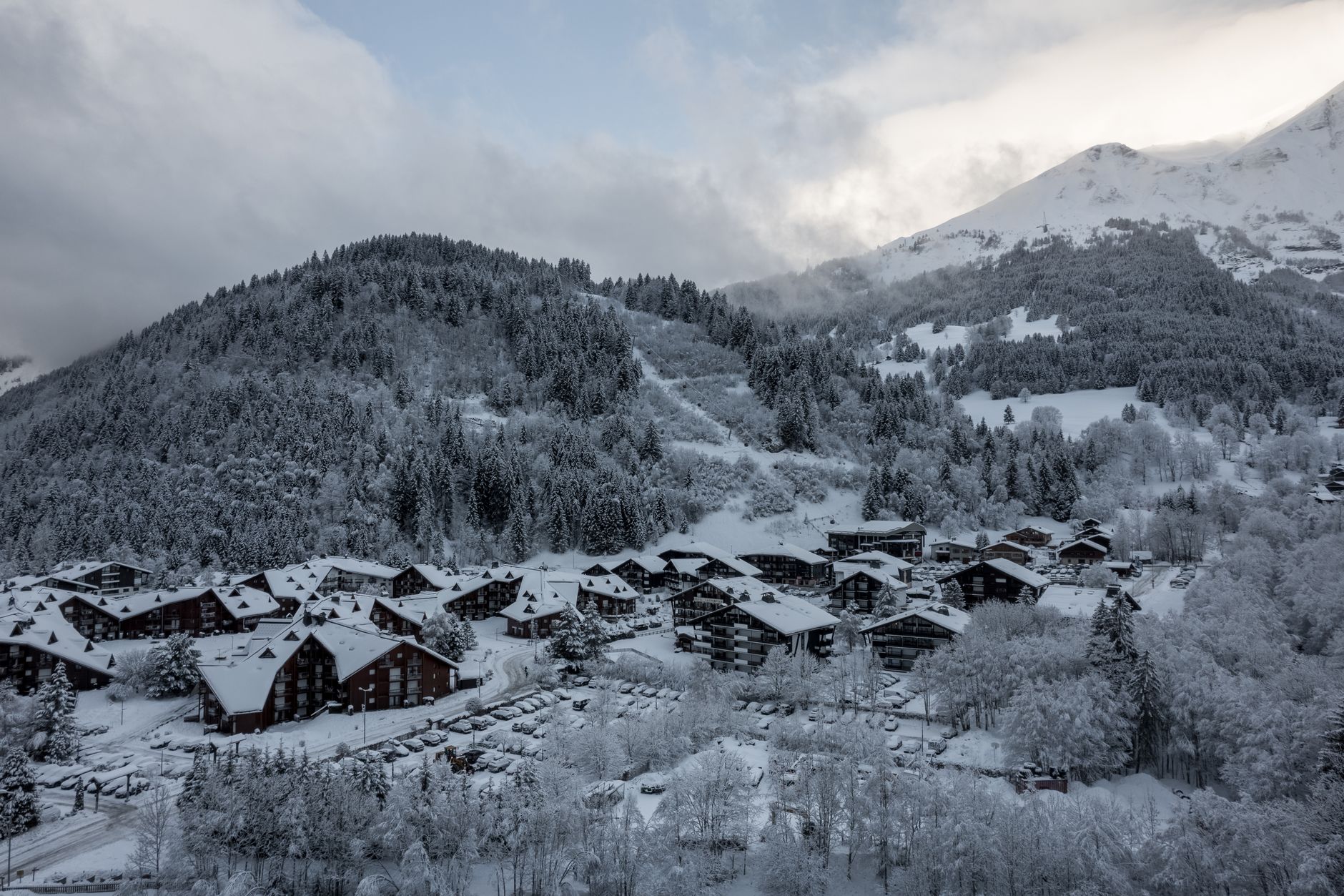
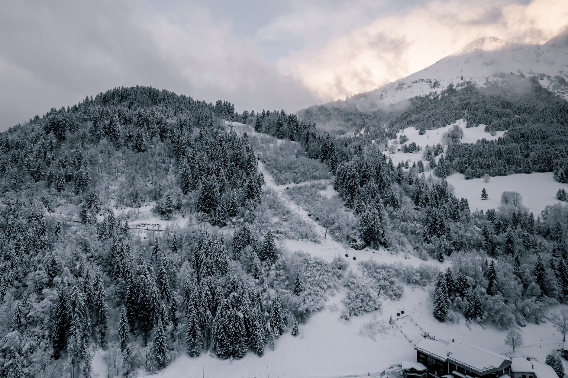
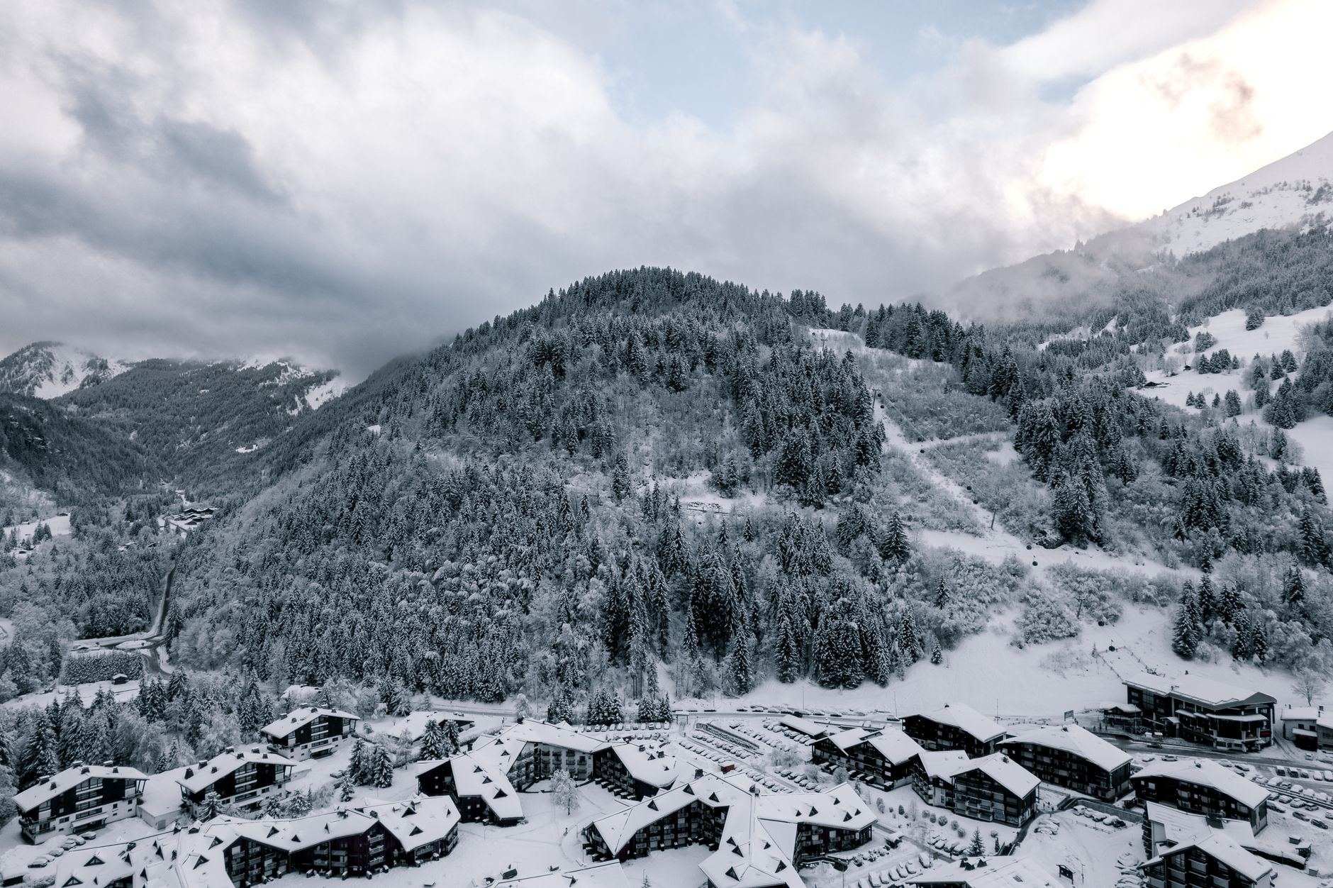
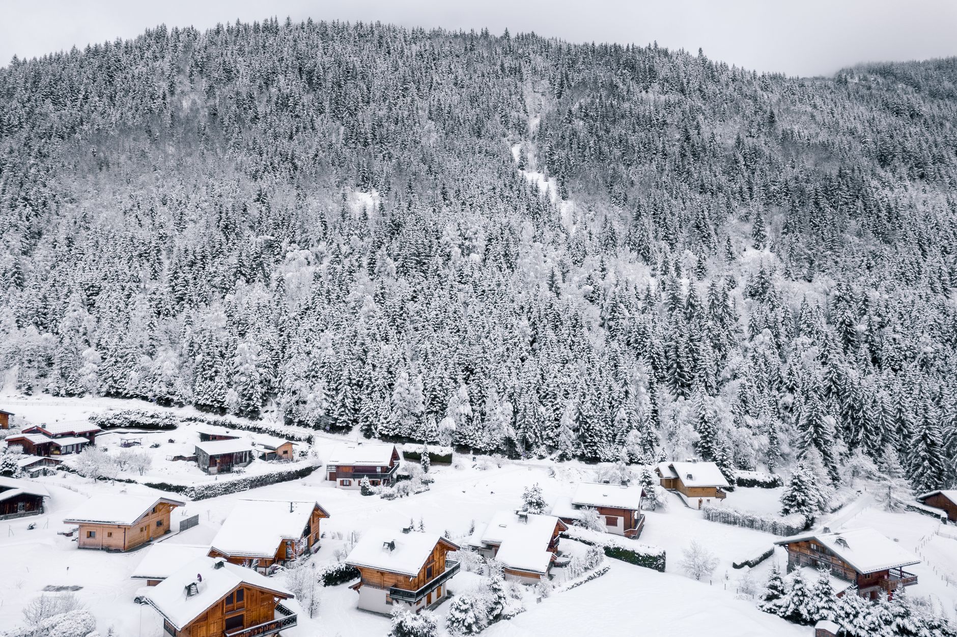
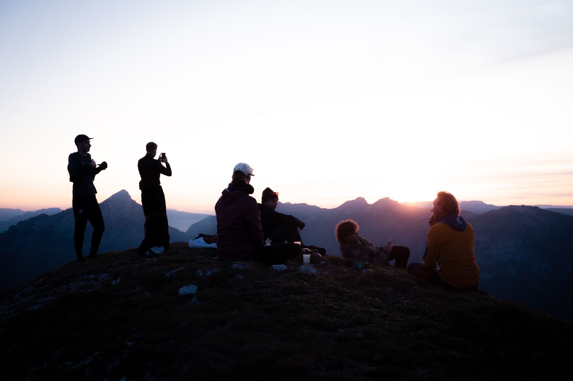
The name gives part of it away: Les Contamines comes from an old dialect word for ploughable land, the kind of terrain a medieval estate would carve out of a valley. That agricultural root is still visible — 70% of the old farm buildings have been restored in local Savoyard style, and the village still holds a weekly market selling produce from the surrounding hamlets. What you get here is an Alpine resort that never quite forgot it was a farming community first.
The nature reserve that wraps around the village covers more than 5,500 hectares, climbing from 1,100 metres to 3,800 metres, and it comes with ibex, marmots, and Pygmy owls. The ski area runs to 120 kilometres of trails and connects into the Mont Blanc lift pass alongside Chamonix and Megève, but the crowds thin out noticeably once you cross the valley.
💛 What travellers fall for
People who come back tend to mention the same things: the snow holds here when the lower resorts are already scraping ice, and the 25 kilometres of Nordic trails through the reserve are quieter than you'd expect for a valley this close to Chamonix. The horse-drawn carriage ride through the village sounds like a tourist gimmick until you've done it on a clear evening.
Experiences you don't want to miss


Deals in Les Contamines-Montjoie
Book directly at the provider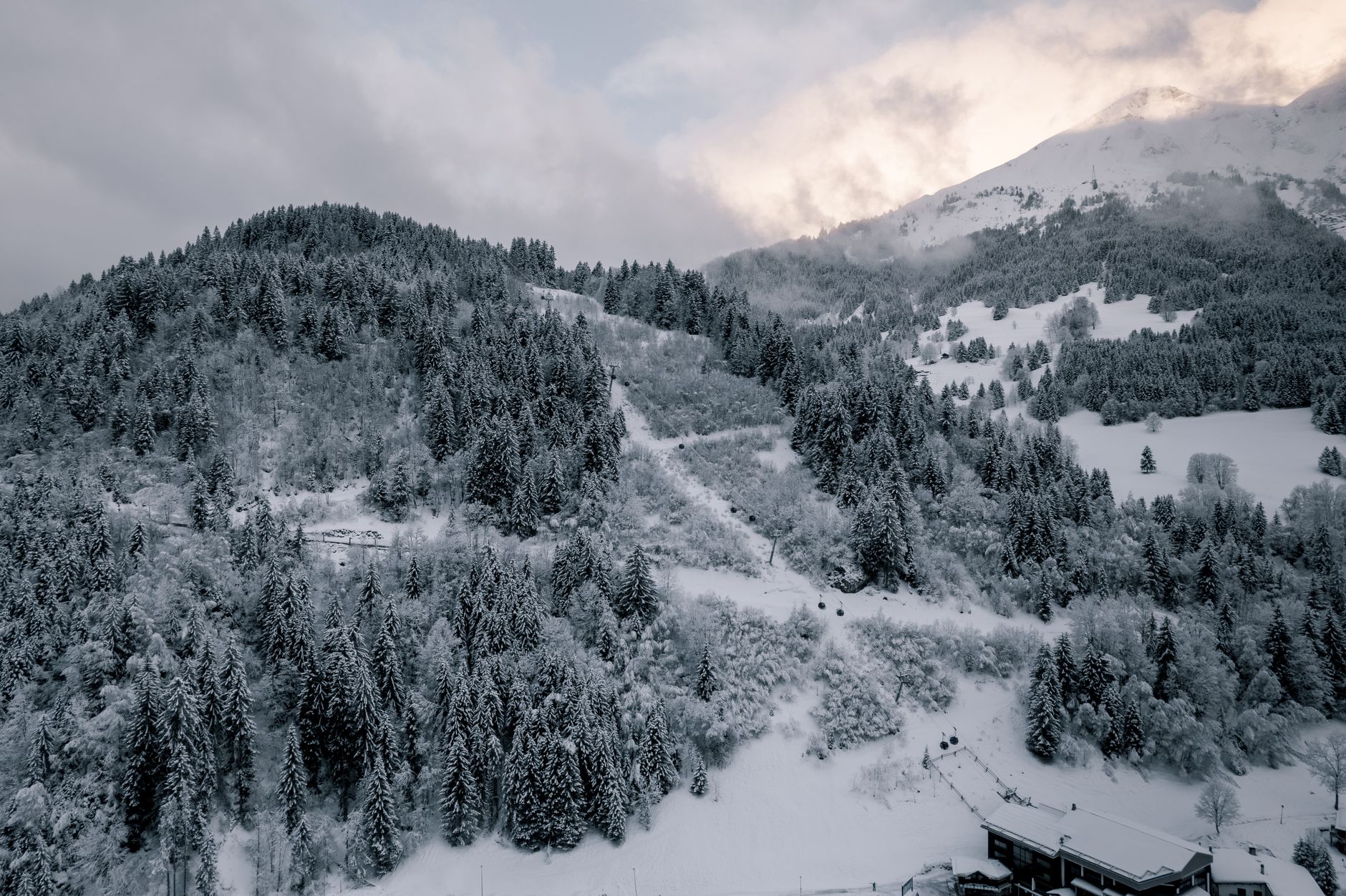
How Les Contamines-Montjoie came to be
A château on this site was first recorded in 1277, associated with Béatrice of Faucigny, and the ruins that remain in the present-day commune centre are still known locally as the Château de Béatrice. For most of its life, the valley was an agricultural parish under Saint-Nicolas-de-Véroce until 1760, when Les Contamines gained its own parish independence.
The shift toward tourism came gradually. A Mountain Guides Company was established in 1850, hotels followed after 1900, and a local ski club formed in 1911. The first ski lift ran in 1937; the first chair lift followed in 1952, the same year a summer attraction called L'Etape opened. The nature reserve, protecting the high-altitude terrain above the village, was created in 1979 and now spans from valley floor to the Aiguille Nord de Tré-la-Tête at 3,892 metres.
Who and what shaped it
People who shaped it
Landmark buildings
See Les Contamines-Montjoie in motion
Plan your visit
On the map
When to go
In winter, the altitude — the ski area tops out around 2,500 metres — means powder that lingers for days after a storm and reliable cover when resorts lower in the valley are struggling. Summer brings long daylight, 120-plus kilometres of marked hiking trails, and a July village festival with folk dances, traditional trade demonstrations, and local food.
Right now
Background & history adapted from Wikipedia (CC BY-SA) · specs from Wikidata (CC0) · weather from Open-Meteo · map data © OpenStreetMap contributors · photos from Wikimedia Commons / Unsplash with per-image credit. No third-party reviews or social posts reproduced.